Trail Overview
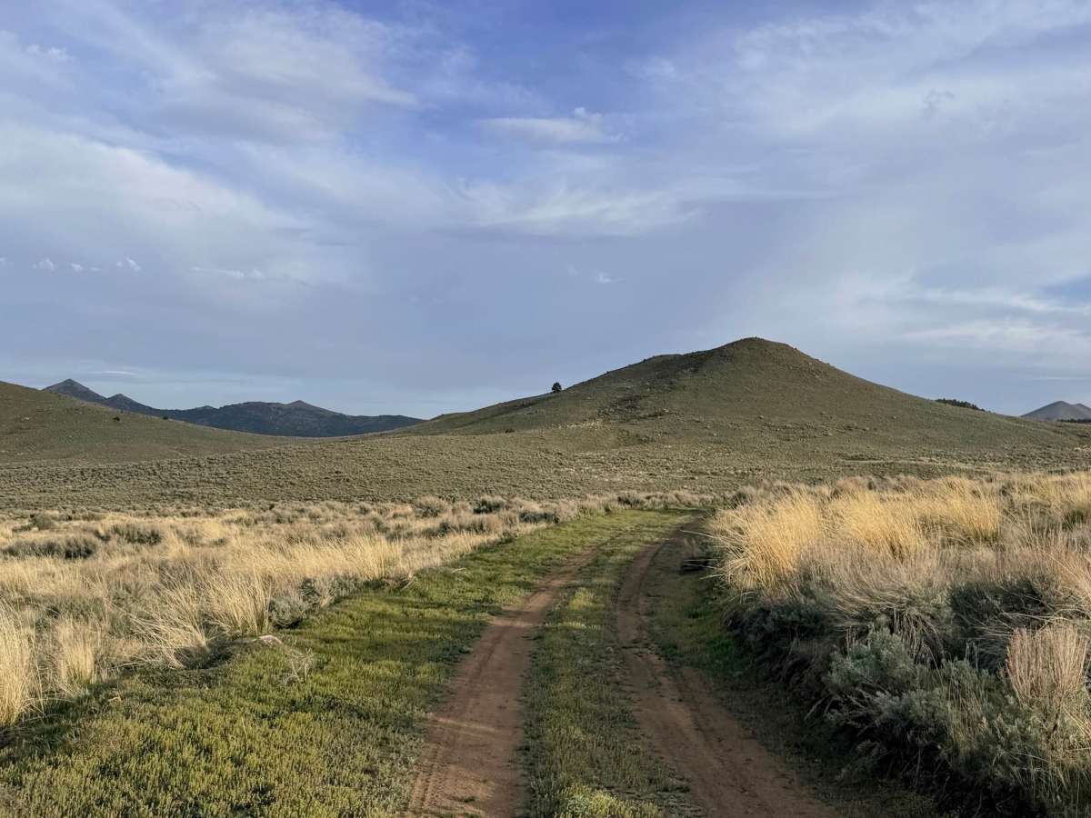
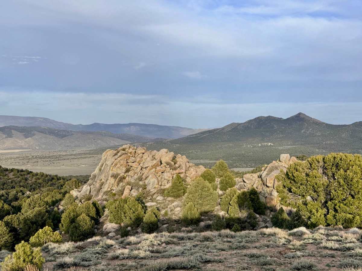
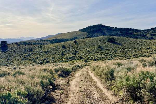
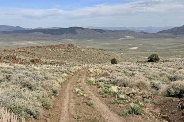
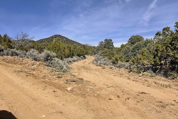
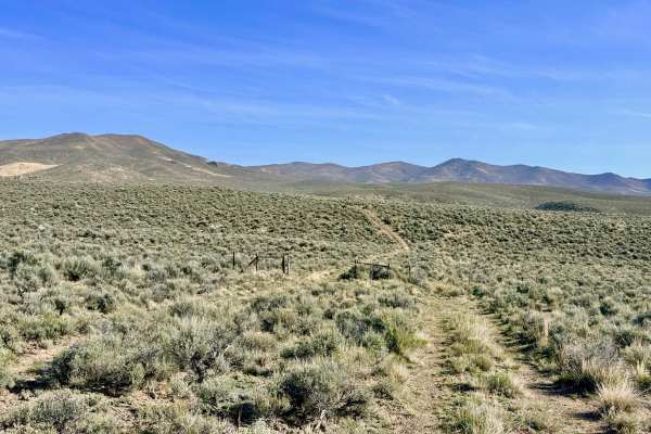
This is an incredibly engaging and dynamic trail that feels like a natural rollercoaster through the high-altitude terrain of the Toiyabe Range. The route is a constant series of twists and turns, rises and falls, as it dances along the ridgelines and through the canyons of this rugged "sky island." Reaching an impressive elevation of 7,490 feet, the summit provides what can only be described as "views for days"—an expansive, 360-degree look at the heart of Nevada’s Basin and Range province.
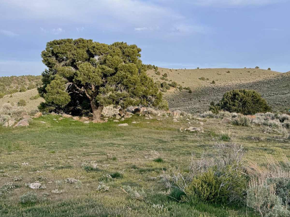
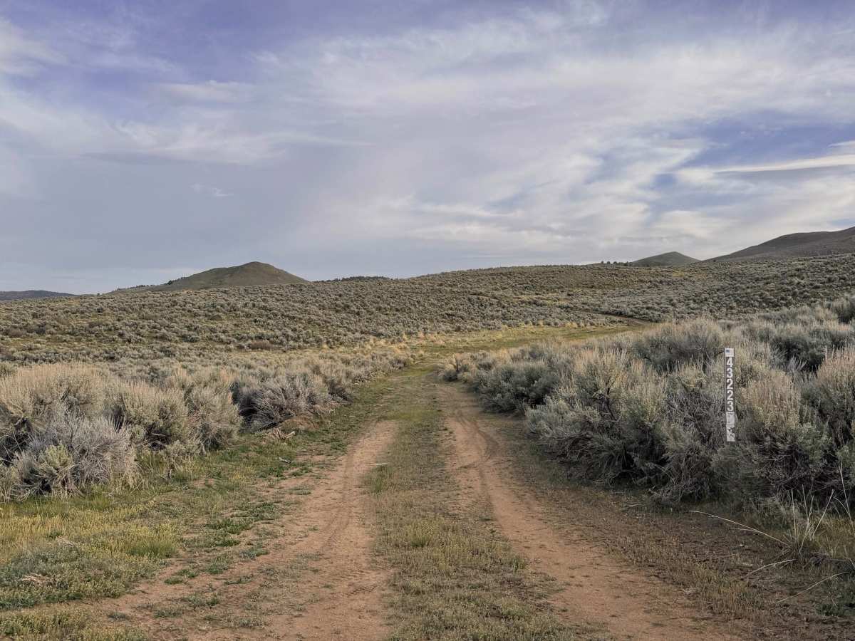
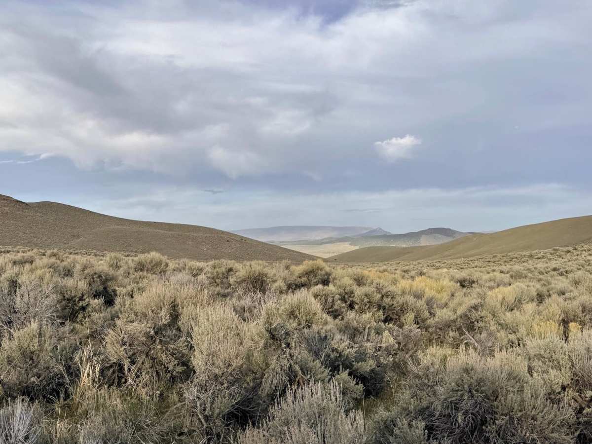
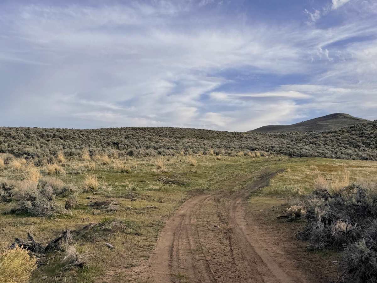
The landscape here is a rich tapestry of high-desert flora. You’ll wind through dense stands of Utah Juniper and Pinyon Pine, which give way to open sagebrush clearings that are prime habitat for the local Sage Grouse. If you keep a sharp eye on the distant canyons, you can spot the weathered remains of old homestead-style cabins, standing as lonely sentinels of a bygone era. The trail itself is well-maintained and provides a smooth but spirited driving experience, though it remains narrow in sections, with occasional ruts or washouts to keep you on your toes. Several phenomenal dispersed campsites are located along the route. These spots offer some of the most spectacular sunset views in the region, overlooking the valley floor thousands of feet below. While its proximity to Austin provides occasional bars of service near the summit, coverage is intermittent at best. Download offline maps before heading into the hills. Nevada's high country is beautiful but arid. Carry at least one gallon of water per person per day, extra fuel, and ensure your spare tire is in top shape.
Difficulty
Suitable for most high-clearance SUVs and 4x4 vehicles. The trail is narrow; stay alert for oncoming traffic on the many blind curves and "whoop-de-dos." At nearly 7,500 feet, this trail can be blocked by snow late into the spring and can become very slick during afternoon summer thunderstorms.
History
Austin Summit was the ultimate hurdle for the pioneers and mail carriers of the 1860s. This trail sits in the shadow of the legendary "Pony Canyon," where a former Pony Express rider discovered silver in 1862, sparking a rush that founded the city of Austin. The old homestead cabins you see in the canyons likely belonged to the "second wave" of settlers—ranchers and miners who arrived once the initial boom had stabilized. These residents lived at the mercy of the mountain weather, hauling water and supplies up these very slopes to carve out a life nearly 8,000 feet above sea level.