Trail Overview
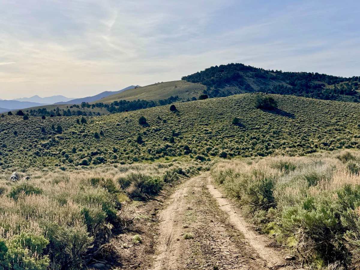
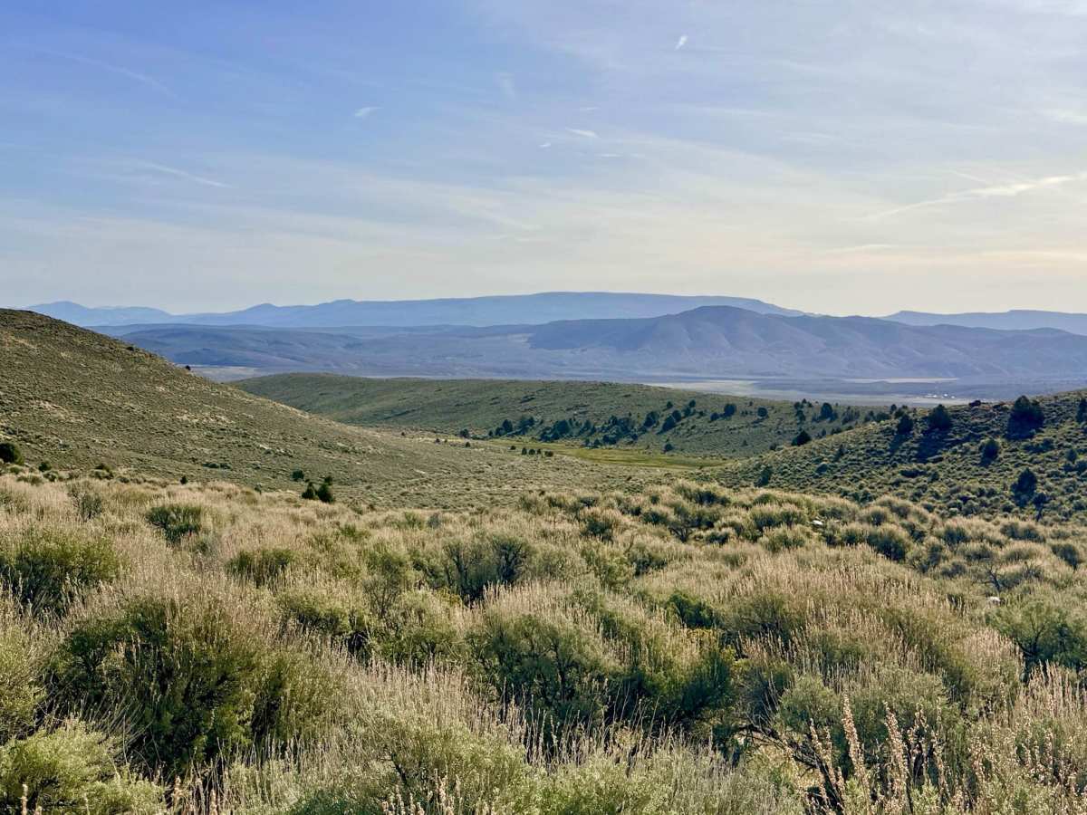
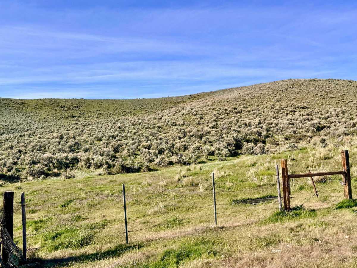
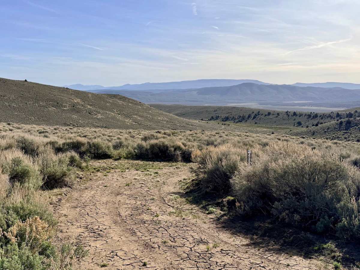
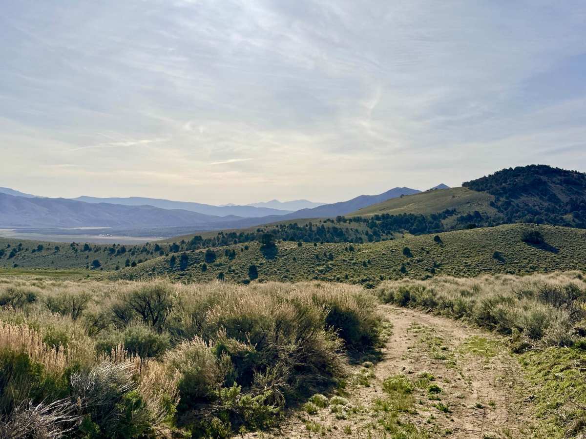
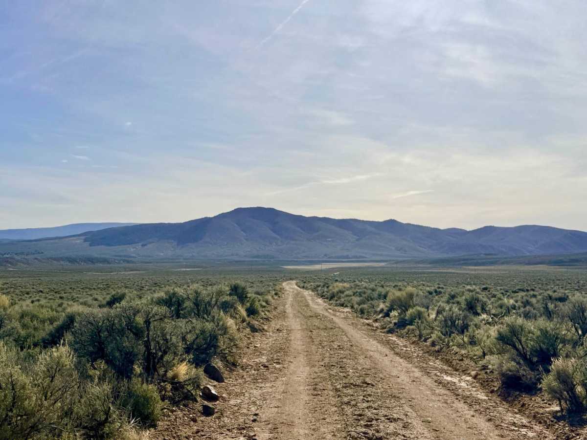
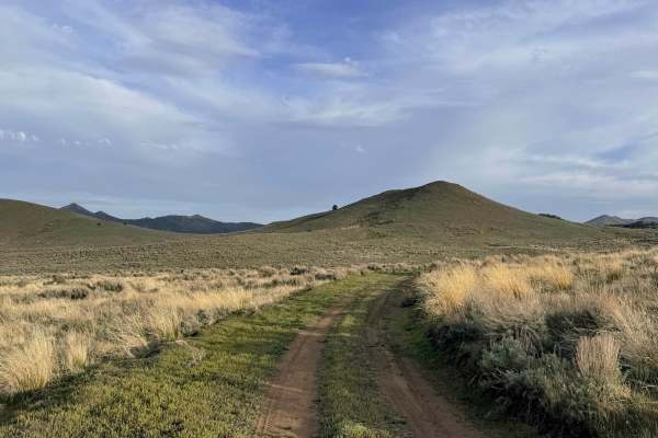
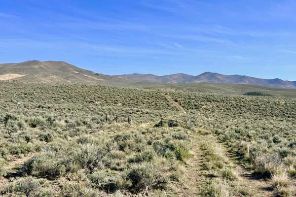
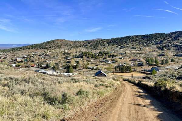
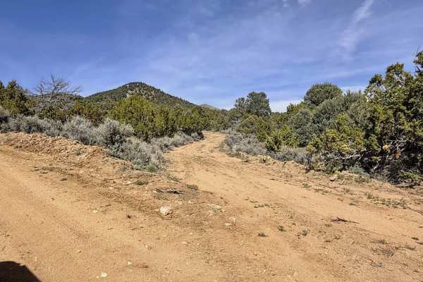
This is a lightly traveled cut-over route that serves as a beautiful transition from the high-elevation ridges of Austin Summit down to the paved Reese River Road on the valley floor. The trail’s namesake peak, Mount Prometheus, is famously elusive; even with an extensive search, the mountain remains hidden within the rugged folds of the range, adding a sense of mystery to the drive. The route begins as a high-altitude two-track, weaving through grassy meadows and sections of mountain mahogany. As you descend, the landscape opens up, offering wonderful, expansive views as you emerge from the upper hills and gaze out across the Reese River Valley. A major highlight of this trail is Thorpe Spring, which runs alongside the track, providing a rare and vital ribbon of water in this arid environment. Look for riparian birdlife and perhaps a pair of mallards or Sage Grouse seeking refuge near the spring. While the trail is generally smooth, keep an eye out for deep ruts created during the wet season.
You may find a few bars of LTE service, depending on your elevation and line of sight, but this is not guaranteed. Download offline maps before leaving the Austin Summit area.
Nevada is remote and unforgiving. Carry at least one gallon of water per person per day, extra fuel, and a full-sized spare tire.
History
The name "Prometheus" is deeply ingrained in Austin's lore. In 1862, William Talbott, a former Pony Express rider, discovered a rich silver vein in Pony Canyon, which he named the "Prometheus Ledge." This discovery sparked the silver rush that founded Austin and turned it into a bustling desert metropolis. While the actual mountain of the same name might be hard to pinpoint from the trail, you are driving through the very hills that fueled the dreams of thousands of prospectors who came to central Nevada seeking the "Fire of Prometheus"—in the form of high-grade silver ore.