Trail Overview
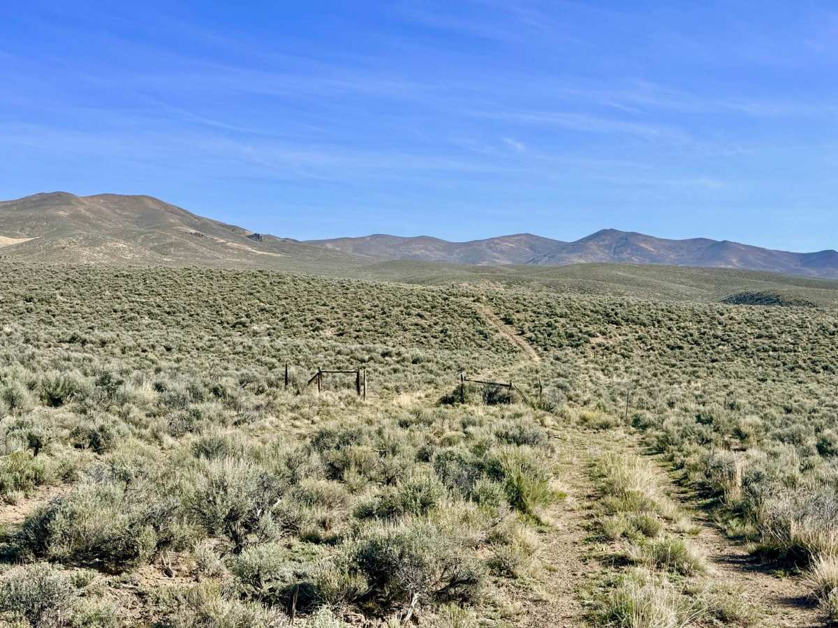
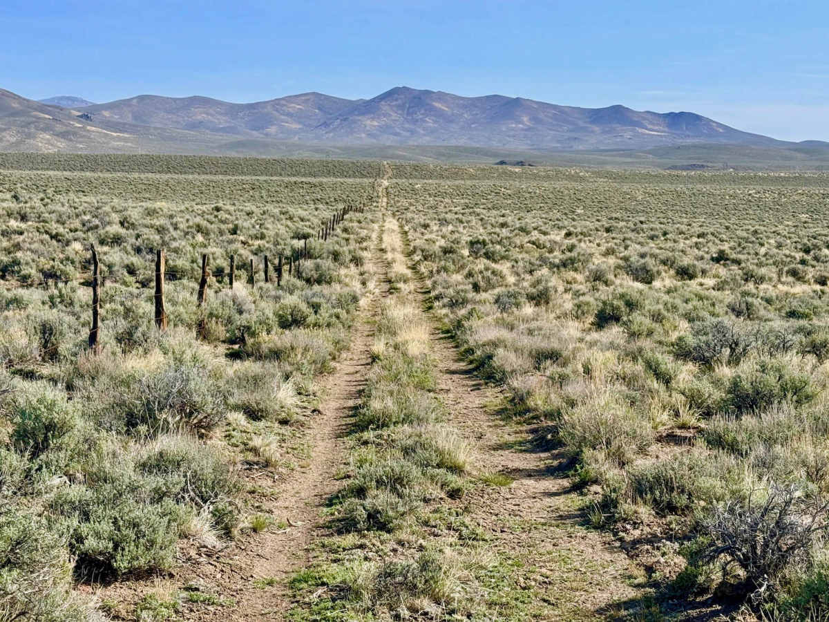
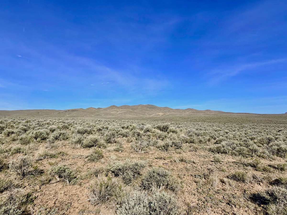
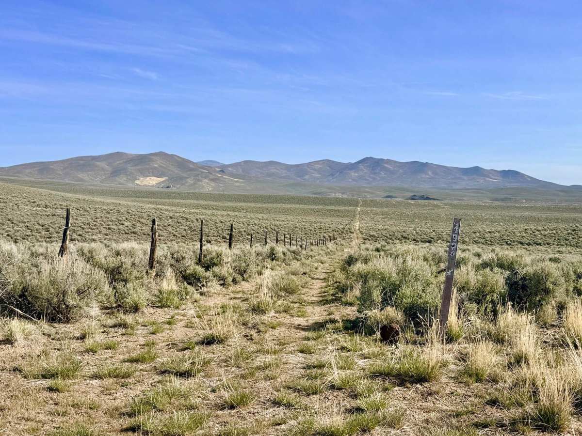
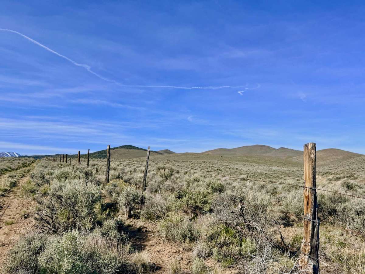
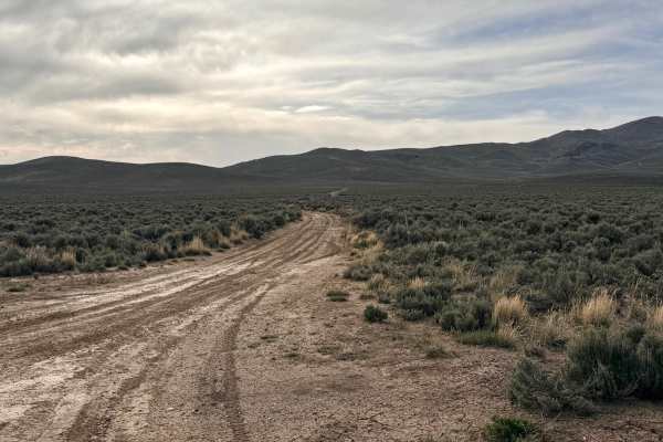
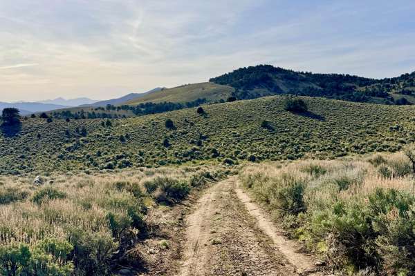
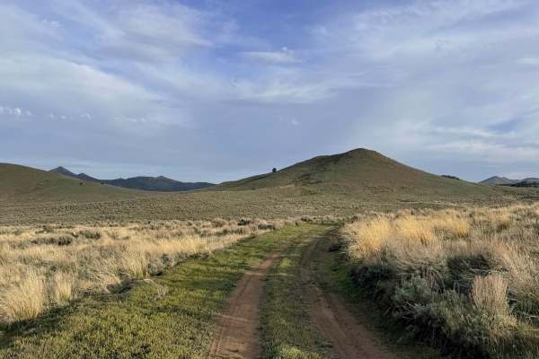
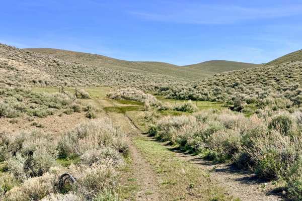
Bade Creek Bypass is a classic "fence-line" road that provides a direct north-south corridor across the rolling high-desert meadows. This trail serves a critical role in local navigation: since the historic Willow Creek trail no longer offers direct access to the paved Reese River Road, this bypass has become the primary entrance for the Barton Creek and Willow Creek trail systems. The route is characterized by long, straight stretches that follow the utility and fence lines, cutting a path through a "sagebrush sea" interspersed with sections of tall grass. While the driving is generally straightforward, the trail keeps you engaged as it rolls up and over the undulating foothills. The primary challenges are the various wash and creek crossings; these can be significantly "dug out" and require careful tire placement and slow speeds to navigate safely. Additionally, drivers should stay vigilant for "sneaky boulders" that often hide in the tall grass and thick sagebrush along the track's edge. This route typically offers a few bars of LTE service, but coverage can be blocked by the rolling hills. Download offline maps to avoid missing turn-offs to the Barton Creek system. This is wide-open, exposed country with very little shade. Carry at least one gallon of water per person per day, extra fuel, and a full-sized spare tire.
Difficulty
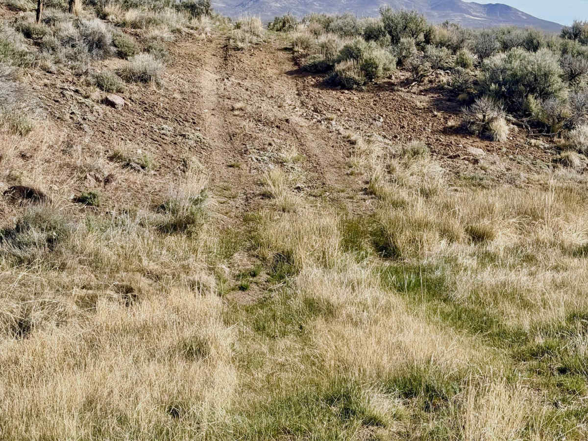
Rated a 2 primarily for the wash crossings. Depending on recent weather, these can be steep-sided or muddy. Use caution and scout on foot if the depth is unclear. The Nevada sagebrush is famous for hiding "tire-killer" rocks. Stay on the established two-track to avoid hidden boulders in the high grass.
History
The straight-line nature of the Bade Creek Bypass reflects the era of the "Great Survey" and the division of the West into ranching allotments. Following the 1862 silver boom in Austin, the Reese River Valley became a vital agricultural hub, producing hay and livestock to feed the thousands of miners in the mountains. The fence lines you follow today often trace the boundaries of these original 19th-century homesteads. This area was also frequented by the Western Shoshone, who gathered seasonal seeds and tracked Pronghorn Antelope across these very meadows long before the first fence posts were driven into the ground.