Backway to Marietta
Total Miles
28.6
Technical Rating
Best Time
Spring, Summer, Fall
Trail Type
High-Clearance 4x4 Trail
Accessible By
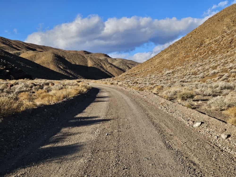
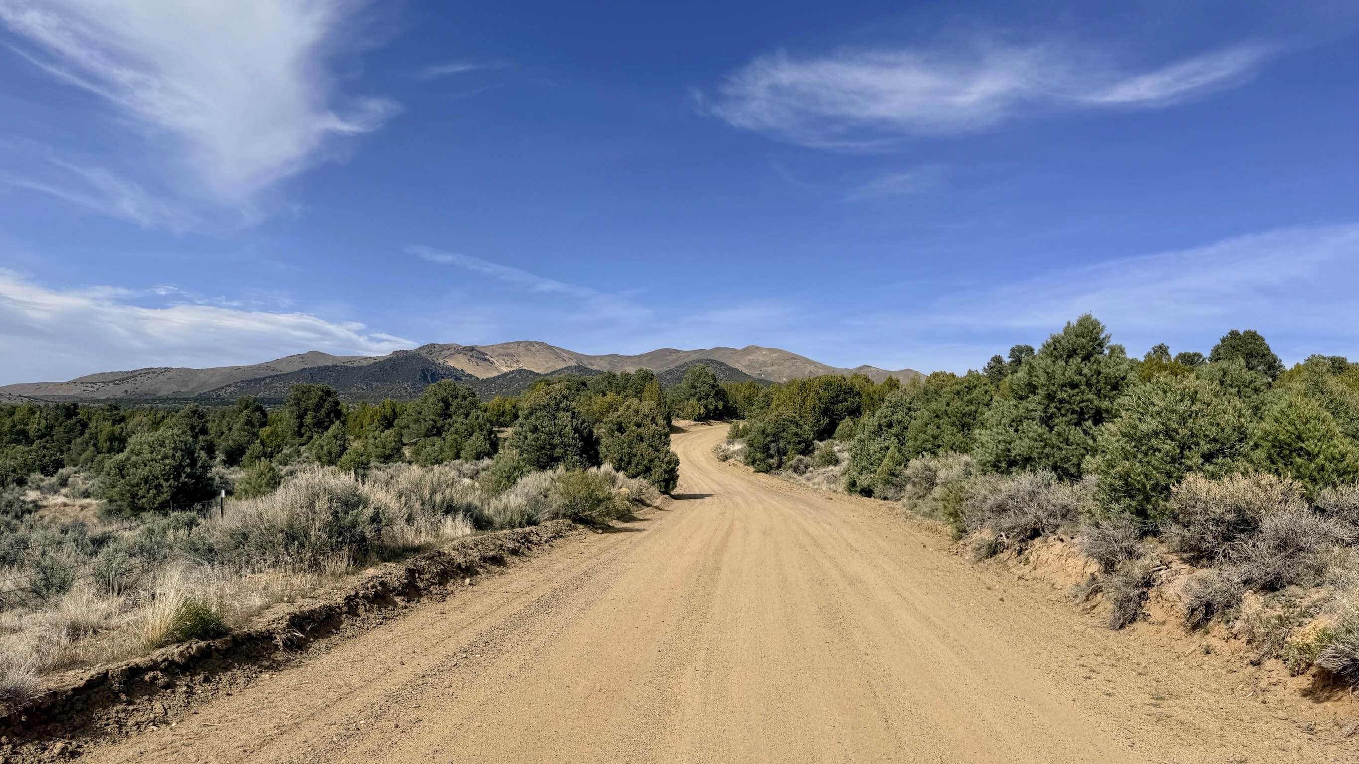
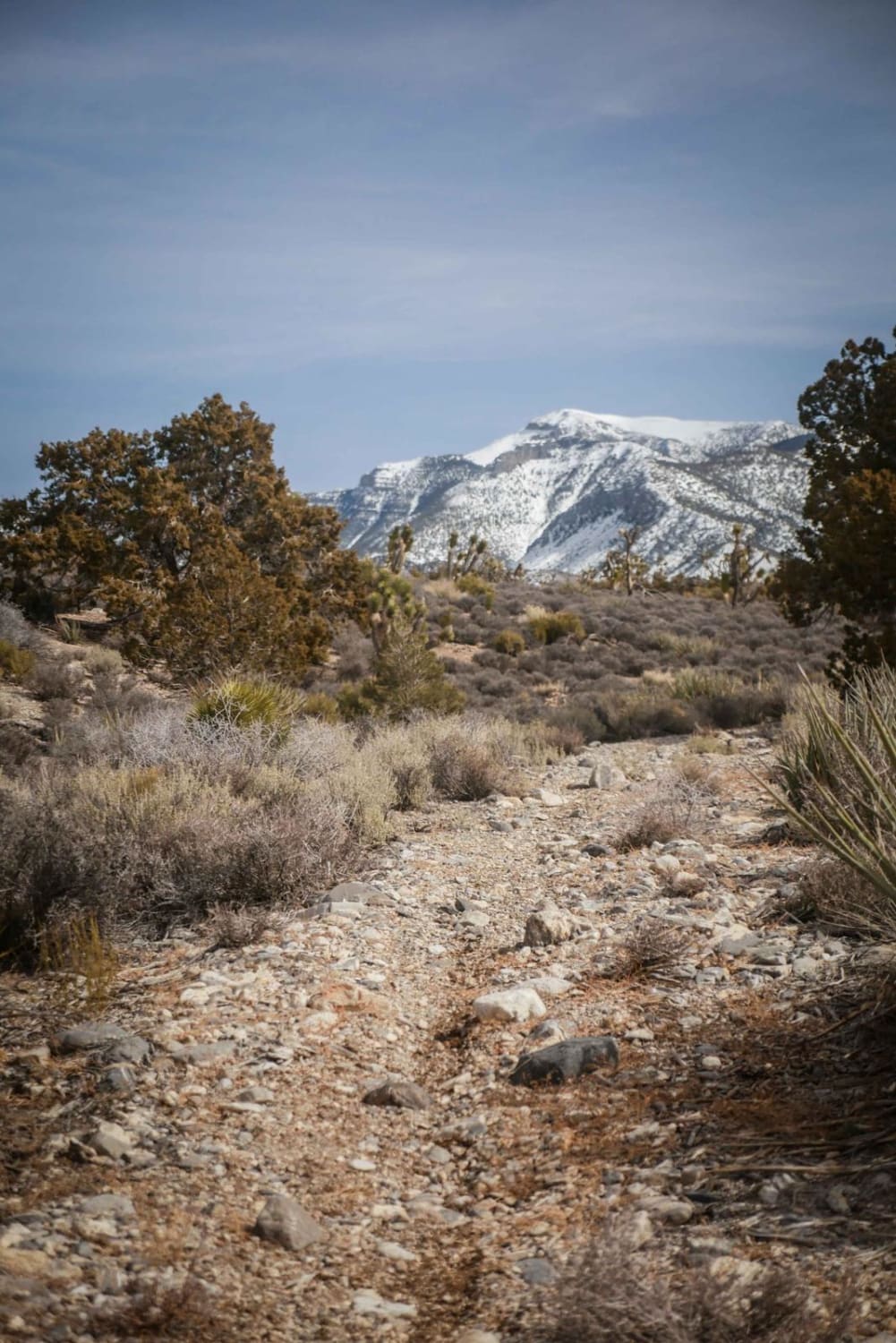
Trail Overview
The route takes you from Mina to Marietta without using highways or crossing private property. This is great for SxSs and ATVs that are not street-legal. It can be taken by high-clearance Jeeps but the trail may be narrow in some sections. The route follows established trails but in a few of the washes, there can be no signs of the trail. Some of these washes have mild rock-crawling sections. The route offers various types of terrain with crawling speeds of 40 miles an hour. Views and wildlife can be enjoyed along the way.
Photos of Backway to Marietta

Difficulty
Runoff in washes changes conditions creating rock crawling sections and erasing signs of the trail route.
Backway to Marietta can be accessed by the following ride types:
- High-Clearance 4x4
- SxS (60")
- ATV (50")
- Dirt Bike
Backway to Marietta Map
Popular Trails

Old Stagecoach Road
Yankee Blade Loop (FS43184)

Middle Silver State Trail to OHV Marker
Middle Elk Meadow Part 1
The onX Offroad Difference
onX Offroad combines trail photos, descriptions, difficulty ratings, width restrictions, seasonality, and more in a user-friendly interface. Available on all devices, with offline access and full compatibility with CarPlay and Android Auto. Discover what you’re missing today!