Middle Silver State Trail to OHV Marker
Total Miles
6.7
Technical Rating
Best Time
Fall, Summer, Spring
Trail Type
Full-Width Road
Accessible By
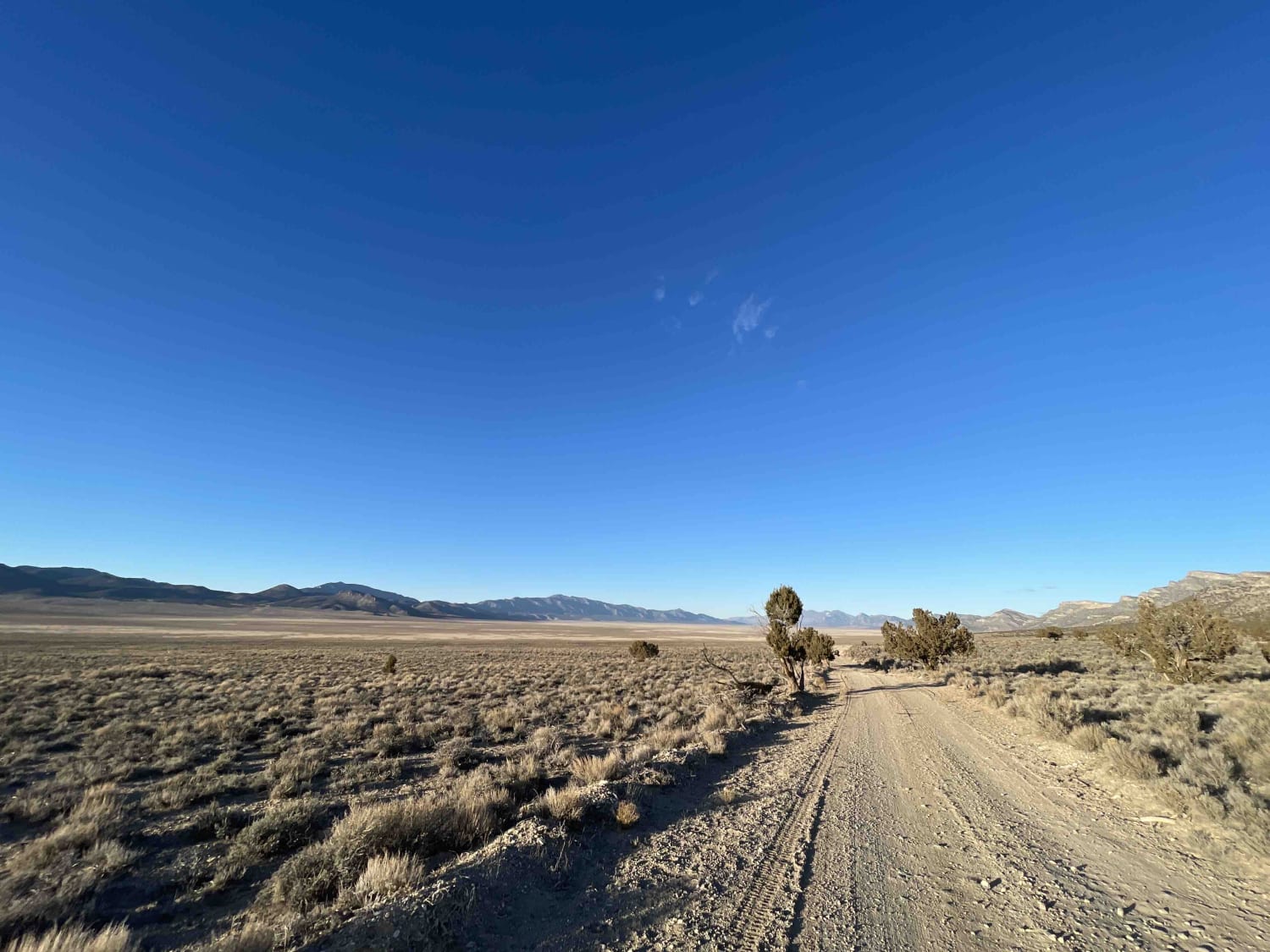
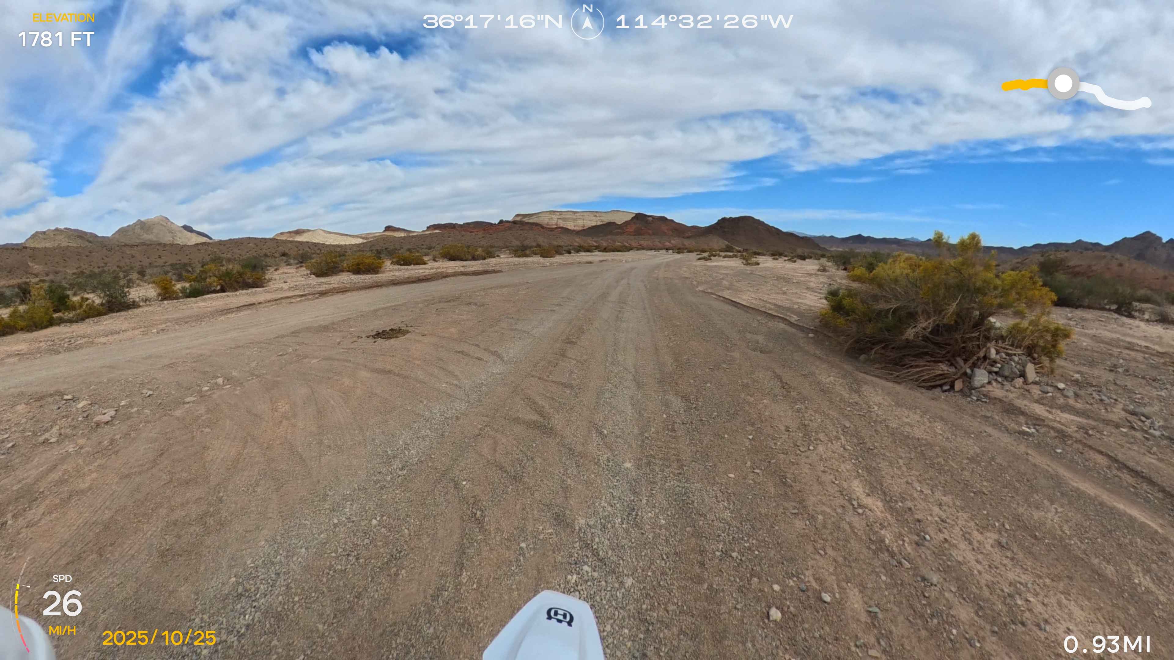
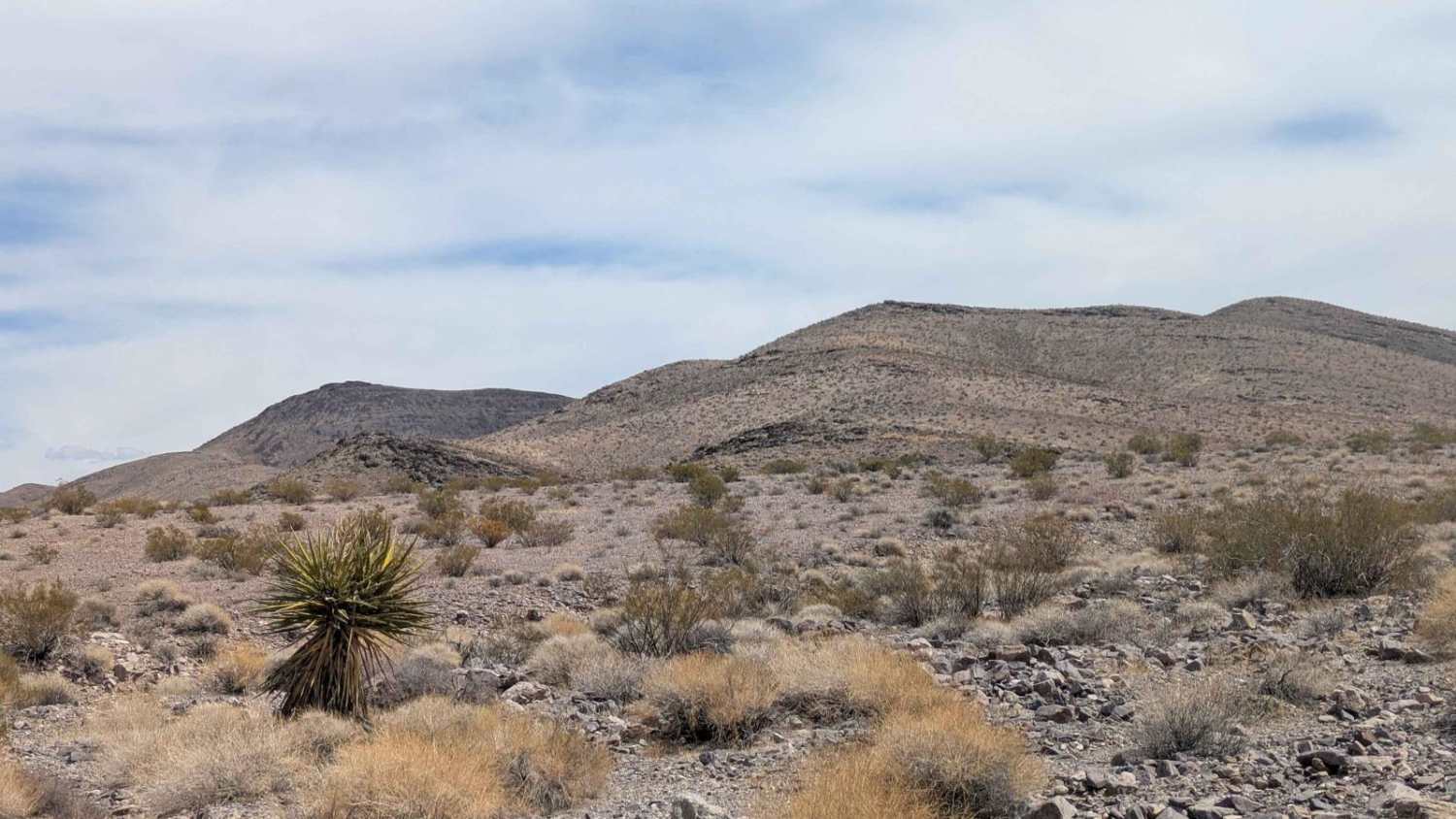
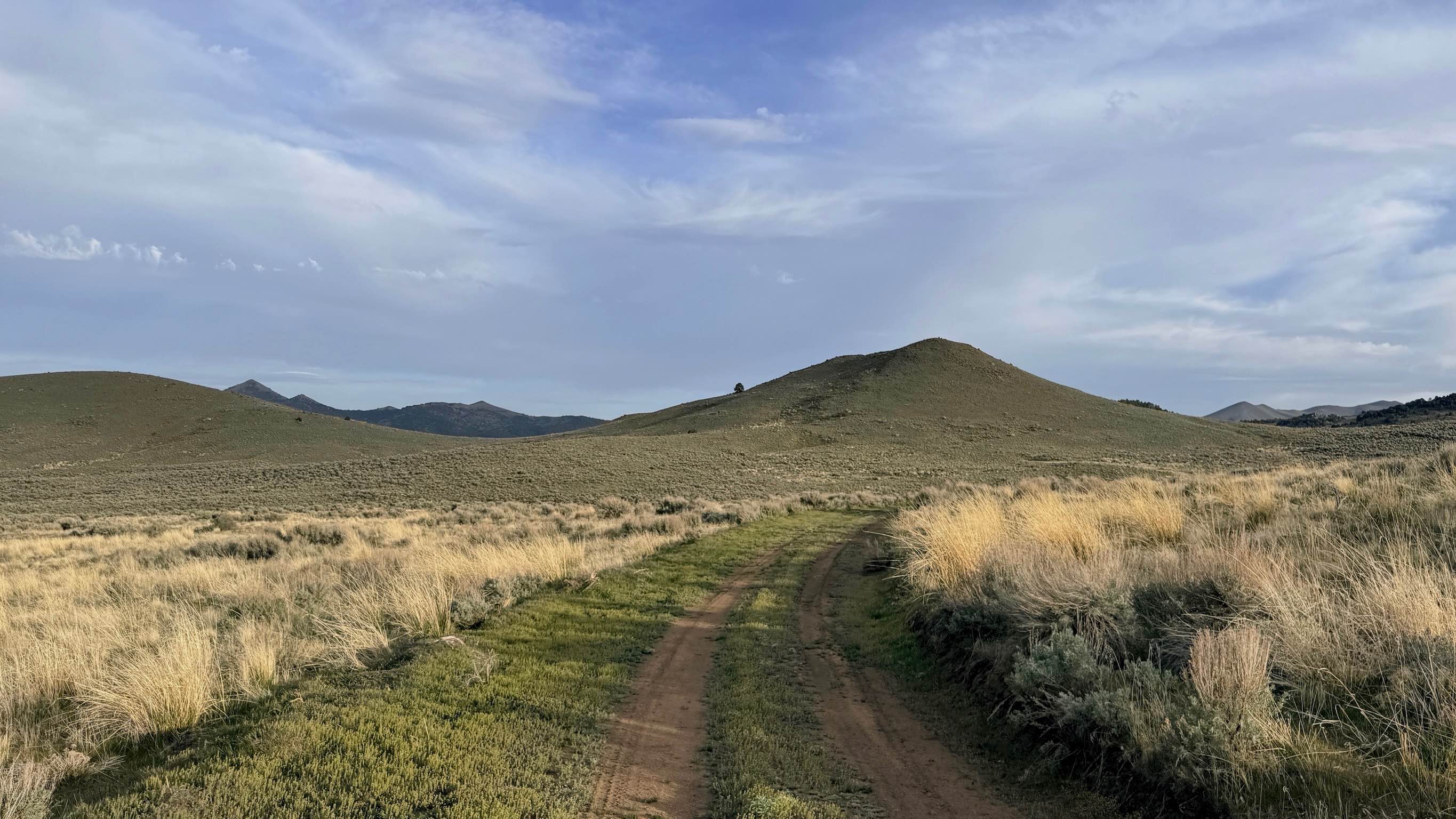
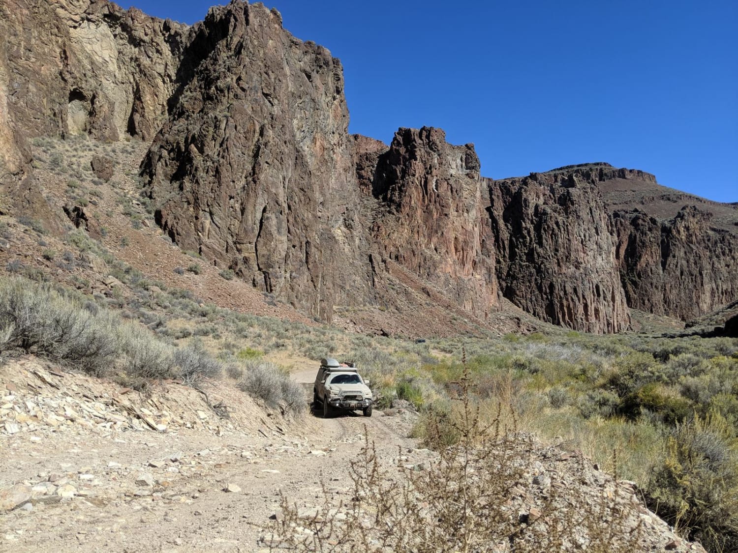
Trail Overview
A middle section of the Stunning Silver State Trail. This trail has a ton of history and goes on in a network of trails for over 260 miles. This section passes through a dense forest of Junipers. It passes two historic cabins and plenty of dispersed camping and opens to a very old, scenic, dry lake. There are many trails to explore in the area. No cell coverage.
Photos of Middle Silver State Trail to OHV Marker

Difficulty
narrow with pullouts for oncoming there is no winter maintenance.
Status Reports
Middle Silver State Trail to OHV Marker can be accessed by the following ride types:
- High-Clearance 4x4
- SUV
- SxS (60")
- ATV (50")
- Dirt Bike
Middle Silver State Trail to OHV Marker Map
Popular Trails
Bitter Springs Alternate
Austin Summit - FS 43233
Summit Lake Reservation Route
The onX Offroad Difference
onX Offroad combines trail photos, descriptions, difficulty ratings, width restrictions, seasonality, and more in a user-friendly interface. Available on all devices, with offline access and full compatibility with CarPlay and Android Auto. Discover what you’re missing today!