Off-Road Trails in Arizona
Discover off-road trails in Arizona


Learn more about Sabado Diez
Sabado Diez
Total Miles
4.7
Tech Rating
Easy
Best Time
Spring, Summer, Fall, Winter
Learn more about Sacramento Wash Trail
Sacramento Wash Trail
Total Miles
2.2
Tech Rating
Easy
Best Time
Spring, Fall
Learn more about Saddle Mountain Loop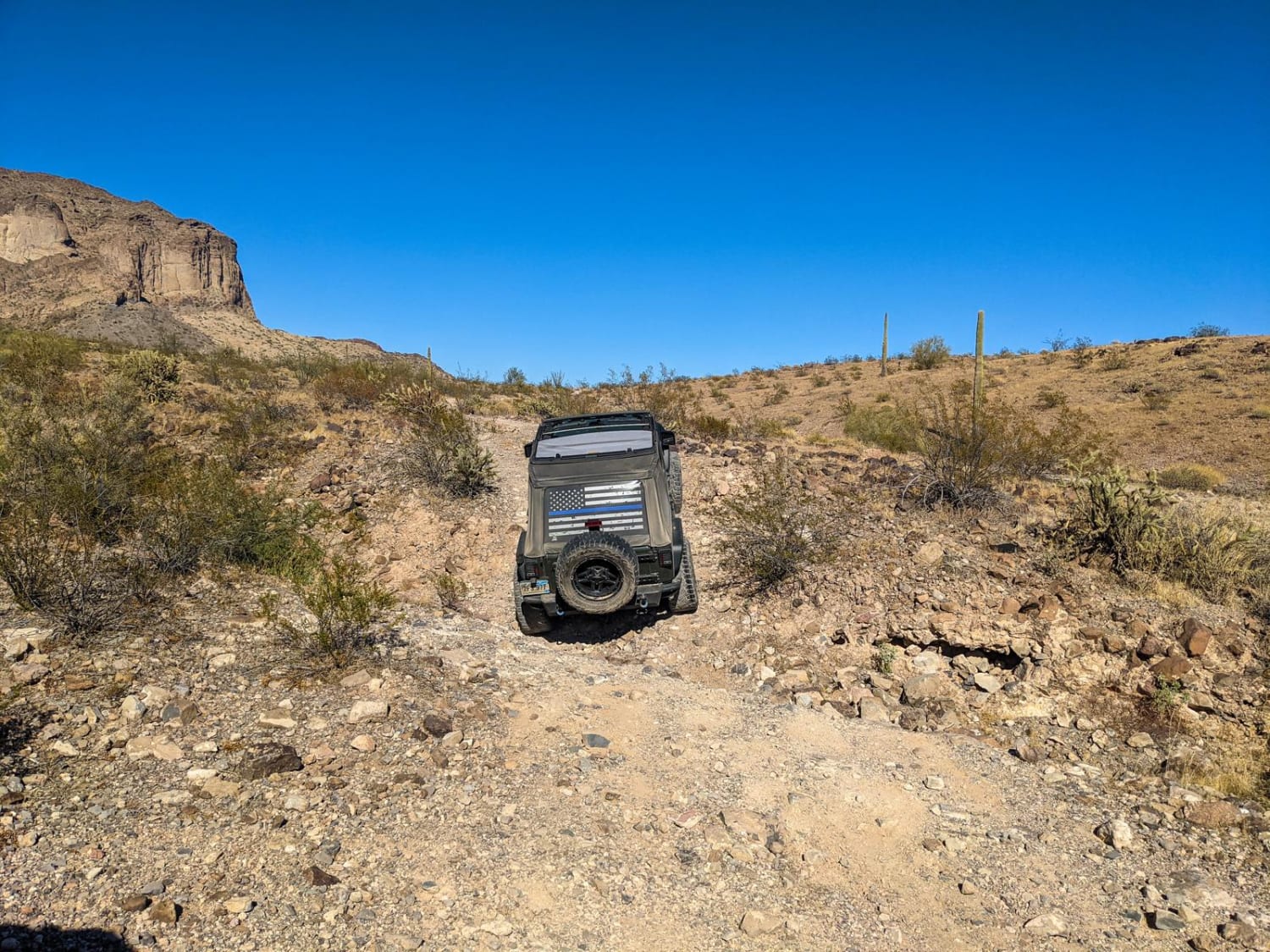
Saddle Mountain Loop
Total Miles
12.9
Tech Rating
Easy
Best Time
Spring, Fall, Winter
Learn more about Saddle Mountain/Dog Saddle
Saddle Mountain/Dog Saddle
Total Miles
12.5
Tech Rating
Easy
Best Time
Spring, Summer, Fall
Learn more about SaddleMountain
SaddleMountain
Total Miles
4.0
Tech Rating
Easy
Best Time
Spring, Summer, Fall
Learn more about Safelite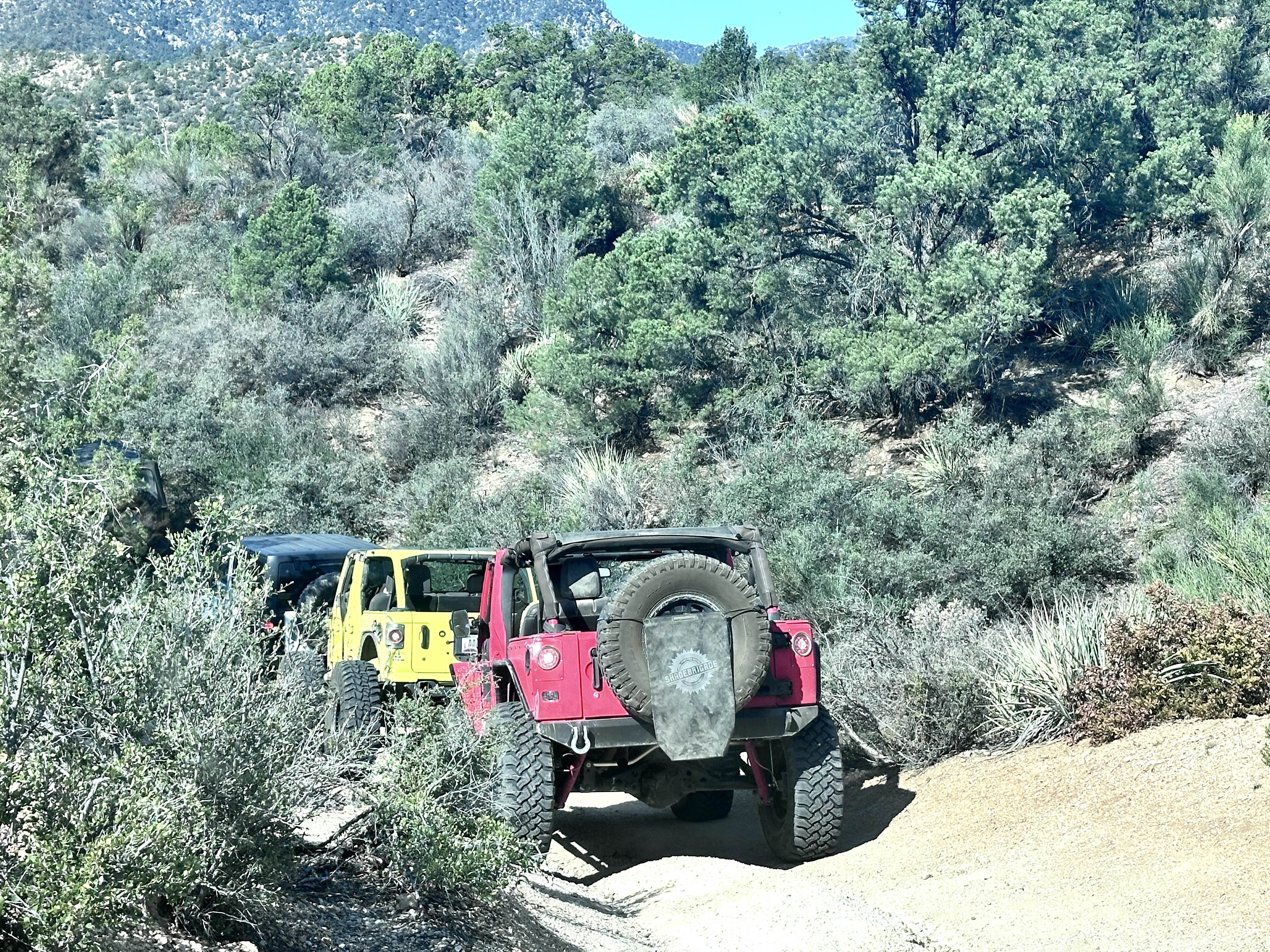
Safelite
Total Miles
5.1
Tech Rating
Difficult
Best Time
Spring, Summer, Fall, Winter
Learn more about Safford-Morenci Trailhead West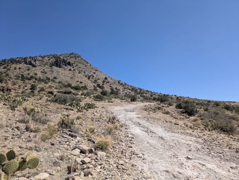
Safford-Morenci Trailhead West
Total Miles
3.6
Tech Rating
Easy
Best Time
Fall, Winter, Spring
Learn more about Saguaro Arm Valley
Saguaro Arm Valley
Total Miles
2.1
Tech Rating
Easy
Best Time
Spring, Fall, Winter
Learn more about Saguaro Power
Saguaro Power
Total Miles
4.0
Tech Rating
Easy
Best Time
Spring, Summer, Fall, Winter
Learn more about Saguaro Ridge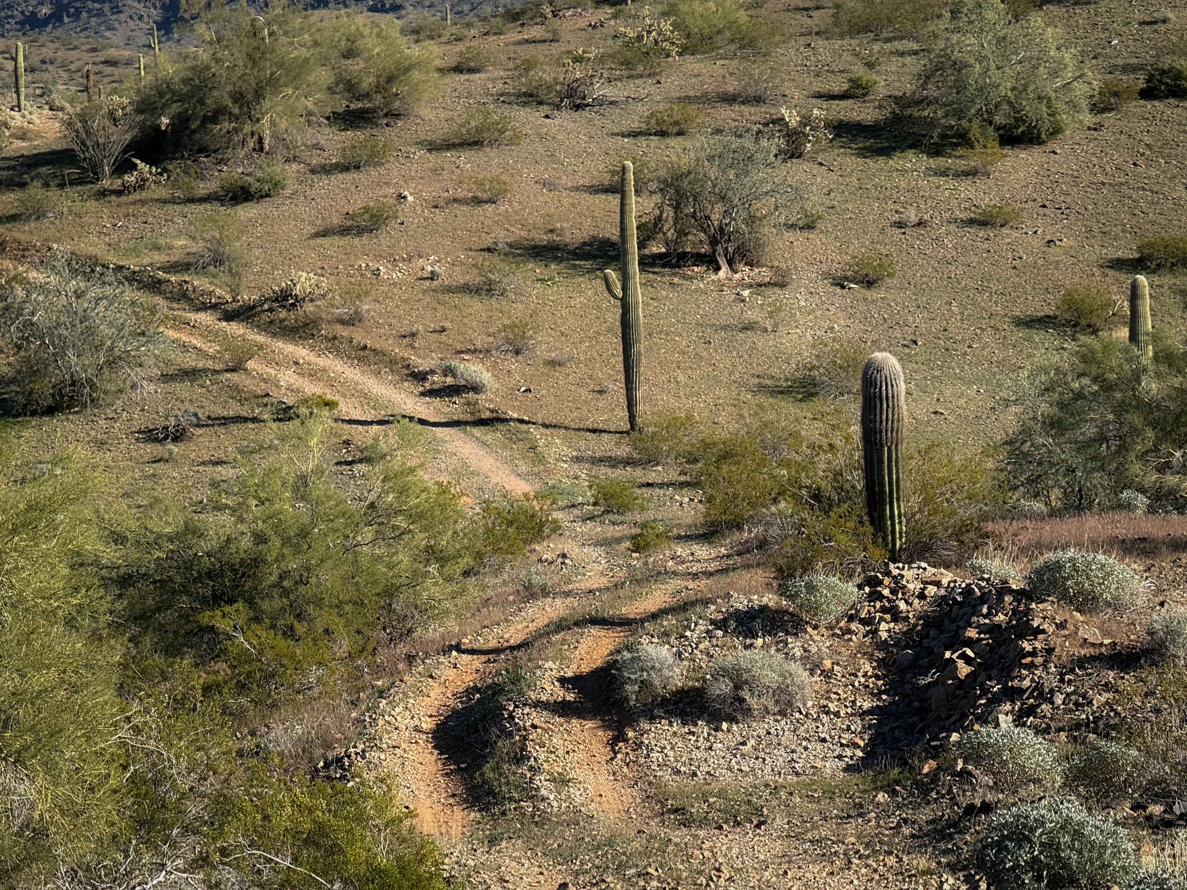
Saguaro Ridge
Total Miles
0.9
Tech Rating
Easy
Best Time
Spring, Fall, Winter
Learn more about Saguaro Way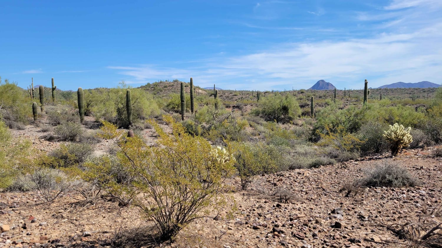
Saguaro Way
Total Miles
2.4
Tech Rating
Easy
Best Time
Winter, Fall, Summer, Spring
Learn more about Saint George Canyon 1034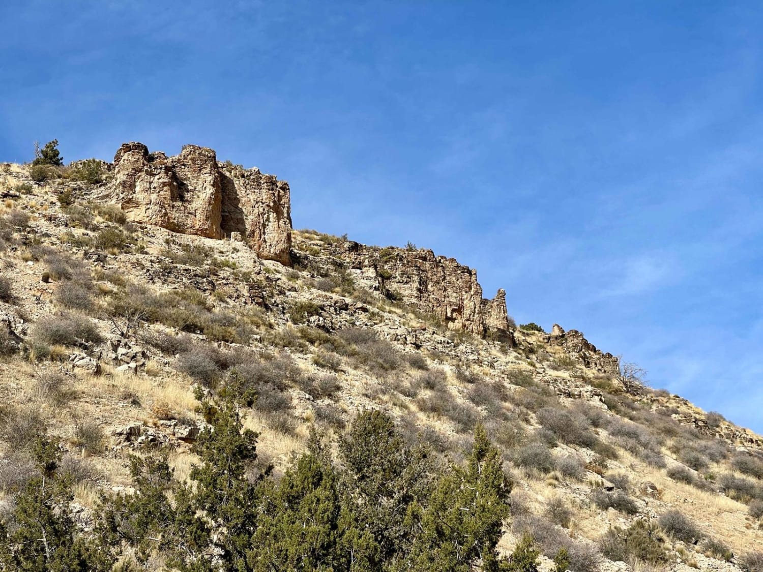
Saint George Canyon 1034
Total Miles
6.6
Tech Rating
Easy
Best Time
Spring, Fall

ATV trails in Arizona
Learn more about Scrub Oak Bypass 
Scrub Oak Bypass
Total Miles
0.5
Tech Rating
Easy
Best Time
Spring, Summer, Fall


UTV/side-by-side trails in Arizona
Learn more about Scrub Oak Bypass
Scrub Oak Bypass
Total Miles
0.5
Tech Rating
Easy
Best Time
Spring, Summer, Fall
The onX Offroad Difference
onX Offroad combines trail photos, descriptions, difficulty ratings, width restrictions, seasonality, and more in a user-friendly interface. Available on all devices, with offline access and full compatibility with CarPlay and Android Auto. Discover what you’re missing today!