Saguaro Way
Total Miles
2.4
Technical Rating
Best Time
Winter, Fall, Summer, Spring
Trail Type
Full-Width Road
Accessible By
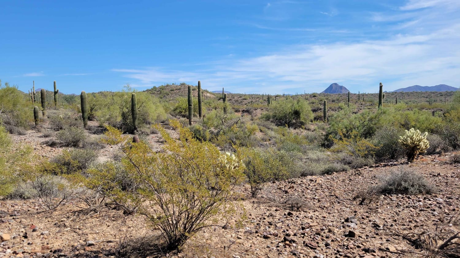
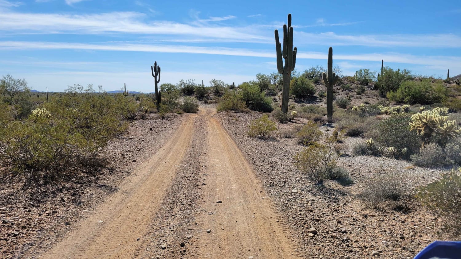
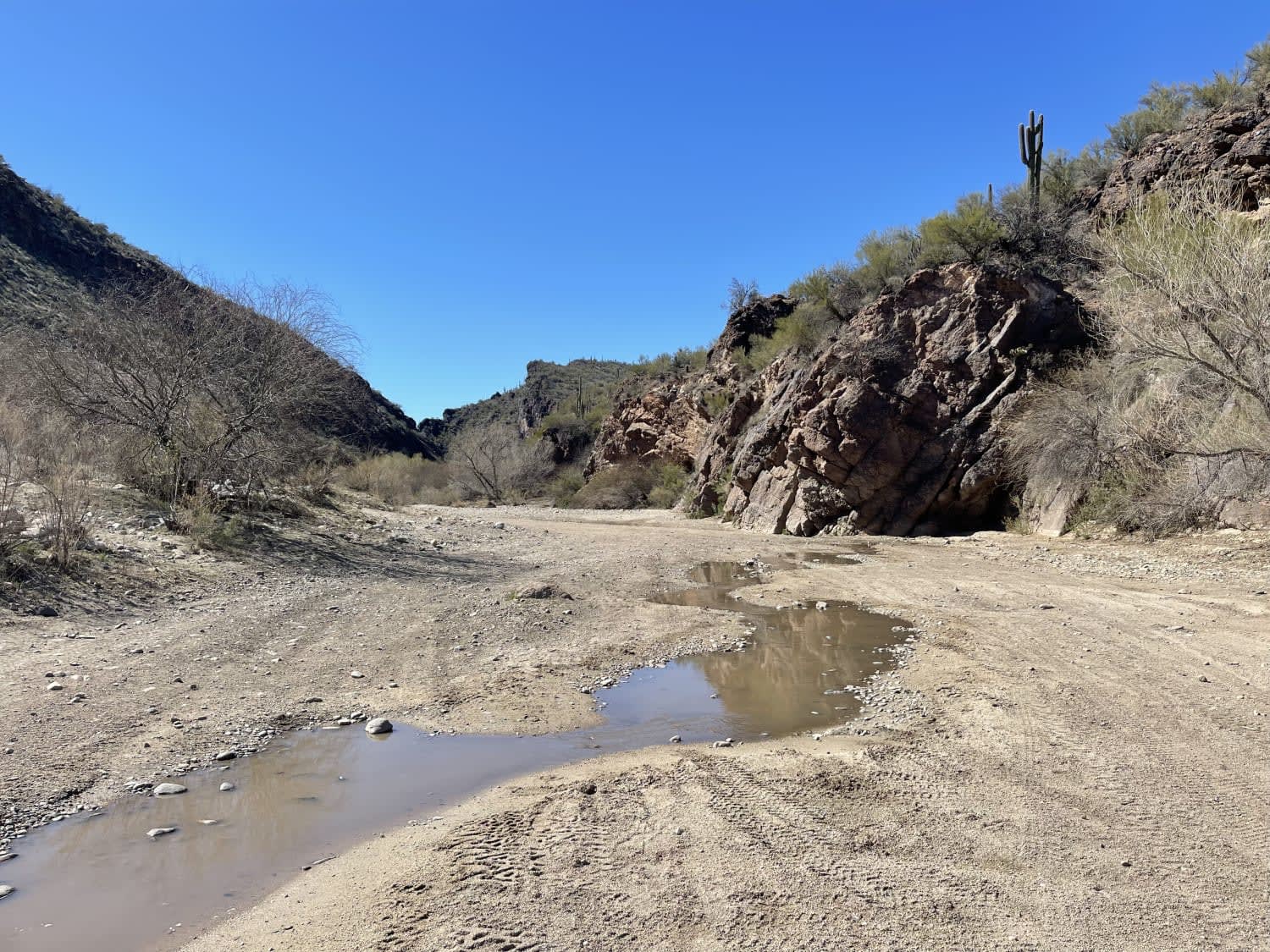
Trail Overview
This section of trail weaves its way through the beautiful desert and leads to a shooting area at the North end. It also connects to a handful of other trails. There are a couple of short rocky sections to navigate, but aside from that, the trail is a pretty simple dirt trail.
Photos of Saguaro Way
Difficulty
This section of trail weaves and winds its way through the beautiful desert and leads to a shooting area at the North end, as well as connects to a handful of other trails. There are a couple of short rocky sections to navigate, but aside from that the trail is a pretty simple dirt trail.
Status Reports
Saguaro Way can be accessed by the following ride types:
- High-Clearance 4x4
- SUV
- SxS (60")
- ATV (50")
- Dirt Bike
Saguaro Way Map
Popular Trails

Happy Camp Spring
Temple Trail (Southern Section)
Box Canyon Access Trail

Palomas Harquahala
The onX Offroad Difference
onX Offroad combines trail photos, descriptions, difficulty ratings, width restrictions, seasonality, and more in a user-friendly interface. Available on all devices, with offline access and full compatibility with CarPlay and Android Auto. Discover what you’re missing today!