Saint George Canyon 1034
Total Miles
6.6
Technical Rating
Best Time
Spring, Fall
Trail Type
Full-Width Road
Accessible By
Trail Overview
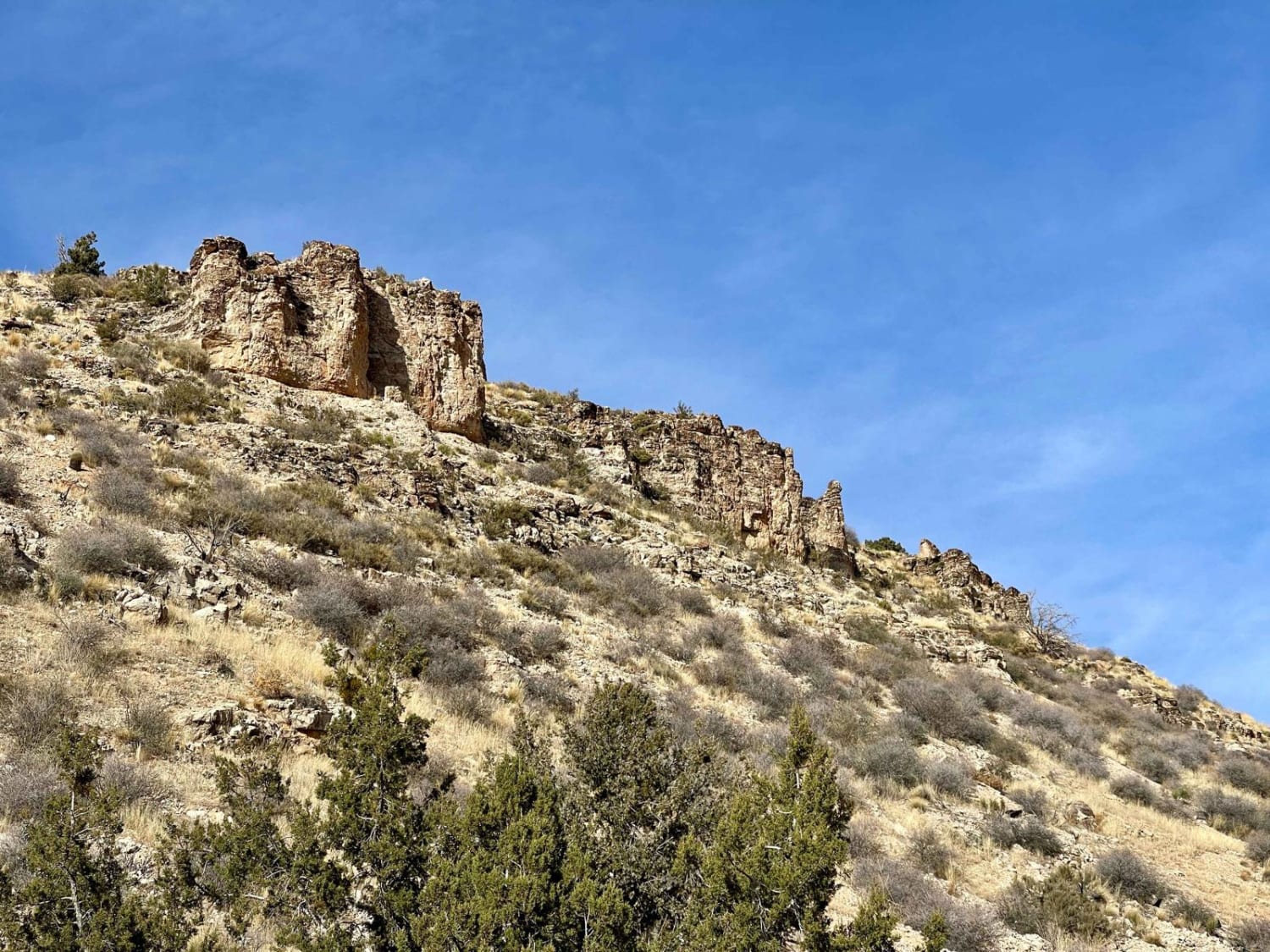
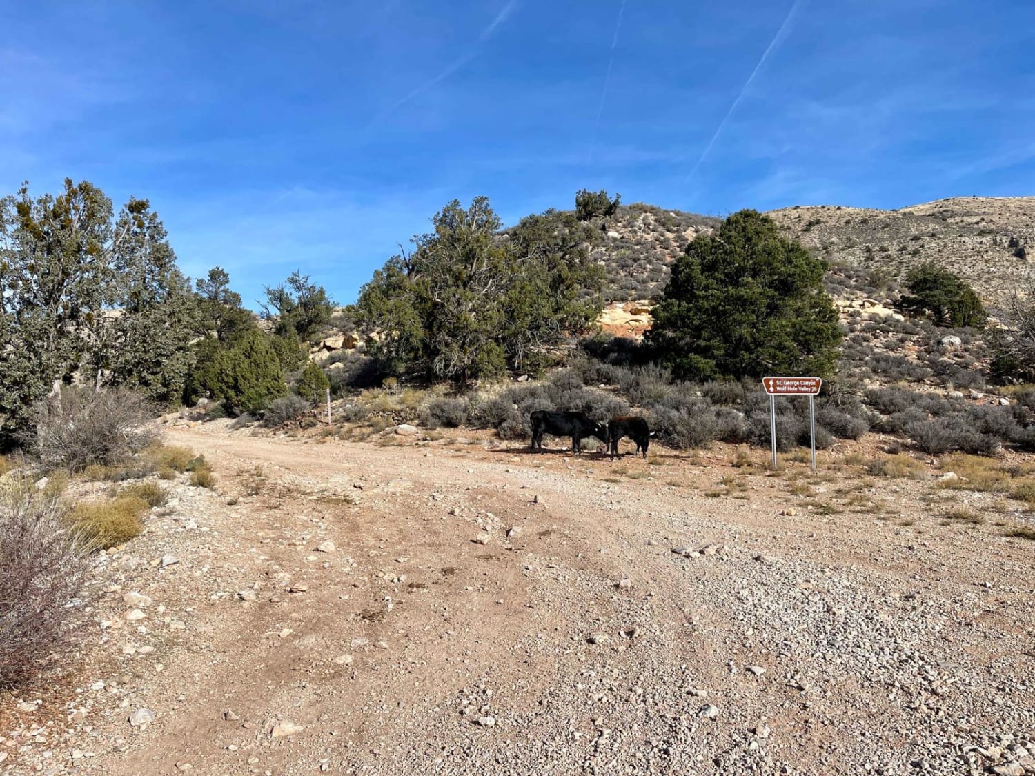
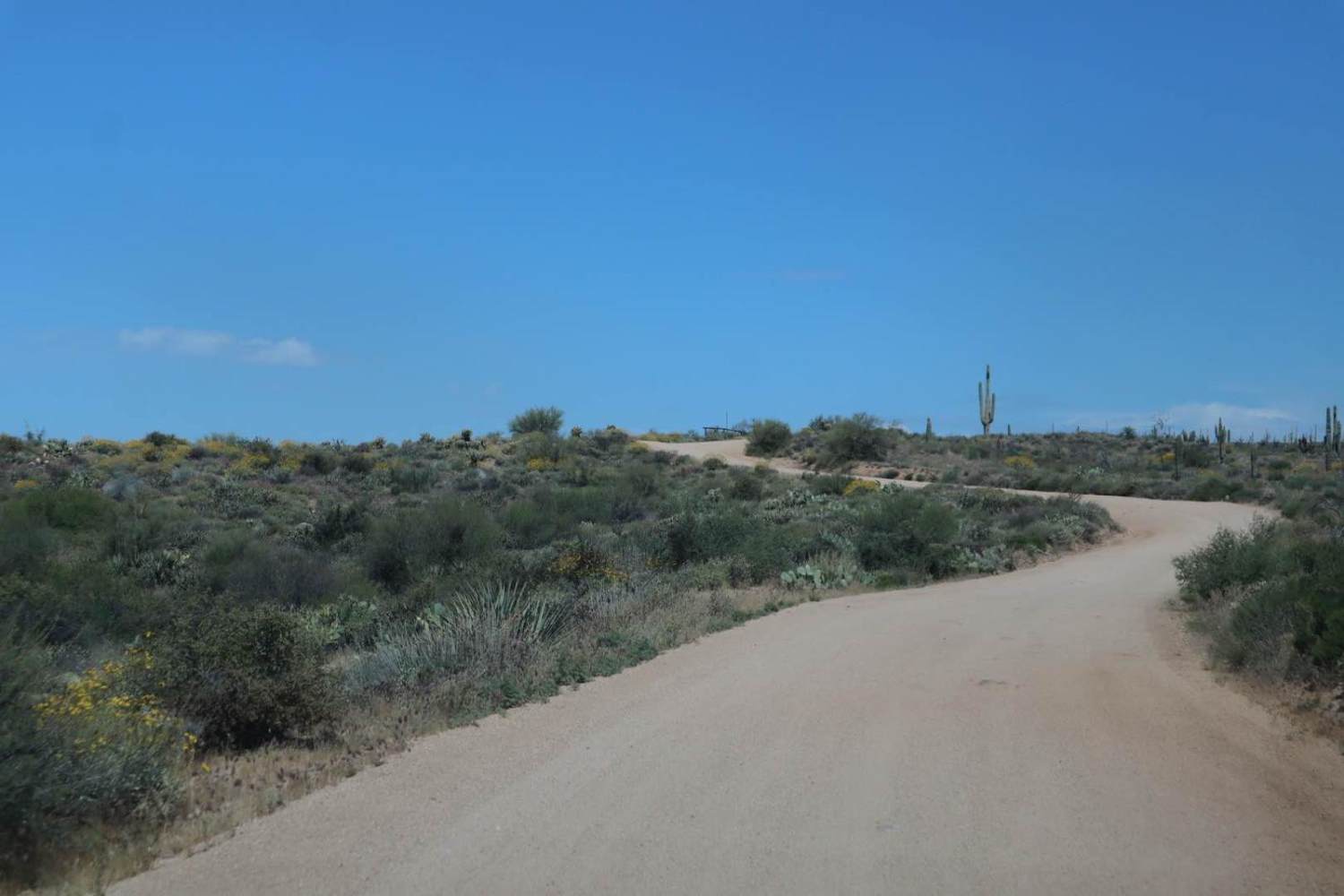
This trail is a solid graded route and appears to be maintained by the cattle ranchers whose herds graze the area. The washouts aren't too deep, and there are plenty of wider spots to pass oncoming traffic, although, in a few sections, one will have to reverse to get to them. The trail weaves in and out of the sides of the canyon as you pass dense sections of juniper trees followed by burned-out sections where the skeletons of the juniper now remain scattered among the tall brown grasses. Keep your eyes out for longhorn cattle on the road and the occasional deer darting out of your way. The trail is an excellent connector between the vast and stunning Hobble Canyon and the technical Hidden Canyon. It would make a decent, easier bypass around Hidden Canyon to keep larger rigs out of the technical stuff. This area is very remote, and help is a long way away. Be sure to bring a satellite communication device and be sure somebody knows your travel plans. There is no cell service out here, so plan and download your offline maps and bring plenty of water. It is a desert, after all.
Photos of Saint George Canyon 1034
Difficulty
Overall, it's well maintained aside from the occasional washout and slightly loose rocky hill. There are also a few sections with deeper ruts. Avoiding this area when wet would be advised.
History
The Arizona Strip is a vast, arid region on the north side of the Grand Canyon that encompasses a variety of landscapes and climates within its nearly 3 million acres and centuries of human history. It is 200 miles long and accessed only by two major highways on either end. Because of its lack of easy access, the Strip remains one of the most remote and least-visited parts of the state.
Status Reports
Saint George Canyon 1034 can be accessed by the following ride types:
- High-Clearance 4x4
- SUV
- SxS (60")
- ATV (50")
- Dirt Bike
Saint George Canyon 1034 Map
Popular Trails

Crackerjack Mesa- FS 209
Widow Maker Pass
Rolls OHV Area East
The onX Offroad Difference
onX Offroad combines trail photos, descriptions, difficulty ratings, width restrictions, seasonality, and more in a user-friendly interface. Available on all devices, with offline access and full compatibility with CarPlay and Android Auto. Discover what you’re missing today!
