Sa1074
Total Miles
2.1
Technical Rating
Best Time
Spring, Summer, Winter, Fall
Trail Type
Full-Width Road
Accessible By
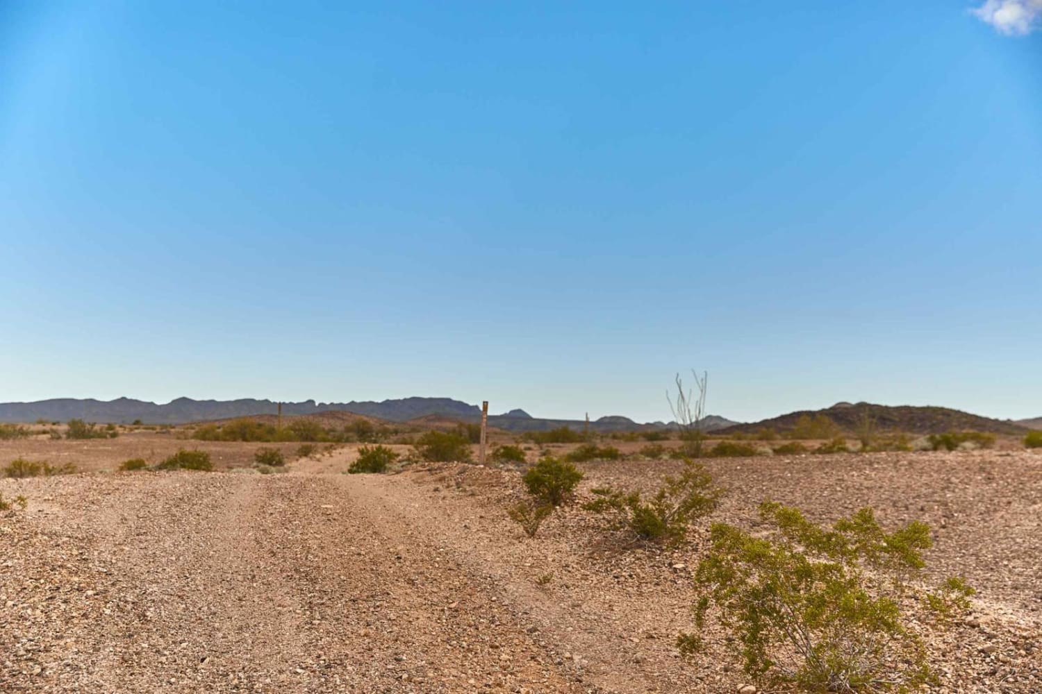
Trail Overview
Trail Sa1074 is a point-to-point route beginning at Sa1073 and running east. It ends at a private property fence line and connects to Sa1075. Near the east end, there is a large washout. It's easy to navigate around, but you'll need to pay attention as you approach it. The trail is mostly a wide gravel road with multiple wash crossings throughout. Rocks vary in size along the route, and conditions can become uneven. High clearance is recommended. Expect washouts, ruts, and whoops along the way. To the south, you'll enjoy beautiful views of Mount Graham. The trail is bordered by cactus, desert creosote, and small mesquite trees. Campsites can be found in the surrounding area. Potential for flooding in bad weather. Expect possible water crossings during storms.
Photos of Sa1074


Difficulty
This trail features washouts, water crossings, and rocks of varying sizes up to 12 inches. Sections can be highly rutted, requiring careful tire placement and attention to changing conditions.
Status Reports
Sa1074 can be accessed by the following ride types:
- High-Clearance 4x4
- SUV
- SxS (60")
- ATV (50")
- Dirt Bike
Sa1074 Map
Popular Trails

Tinajas Altas Pass Loop
Golden Harp Mine
The onX Offroad Difference
onX Offroad combines trail photos, descriptions, difficulty ratings, width restrictions, seasonality, and more in a user-friendly interface. Available on all devices, with offline access and full compatibility with CarPlay and Android Auto. Discover what you’re missing today!