Safford-Morenci Trailhead West
Total Miles
3.6
Technical Rating
Best Time
Fall, Winter, Spring
Trail Type
Full-Width Road
Accessible By
Trail Overview
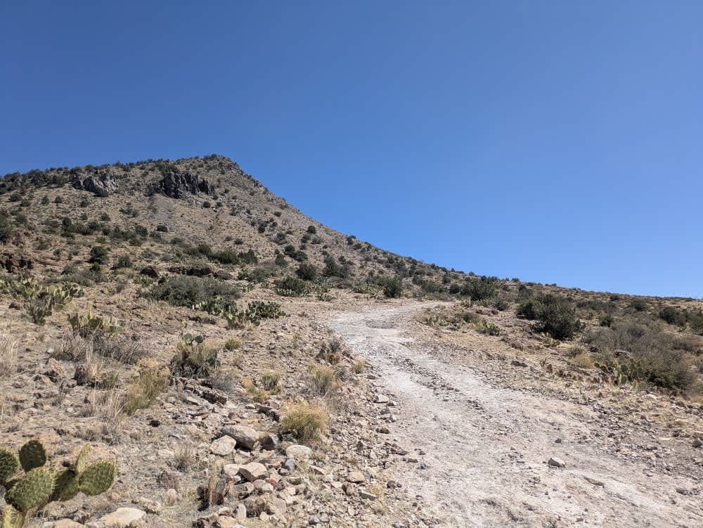
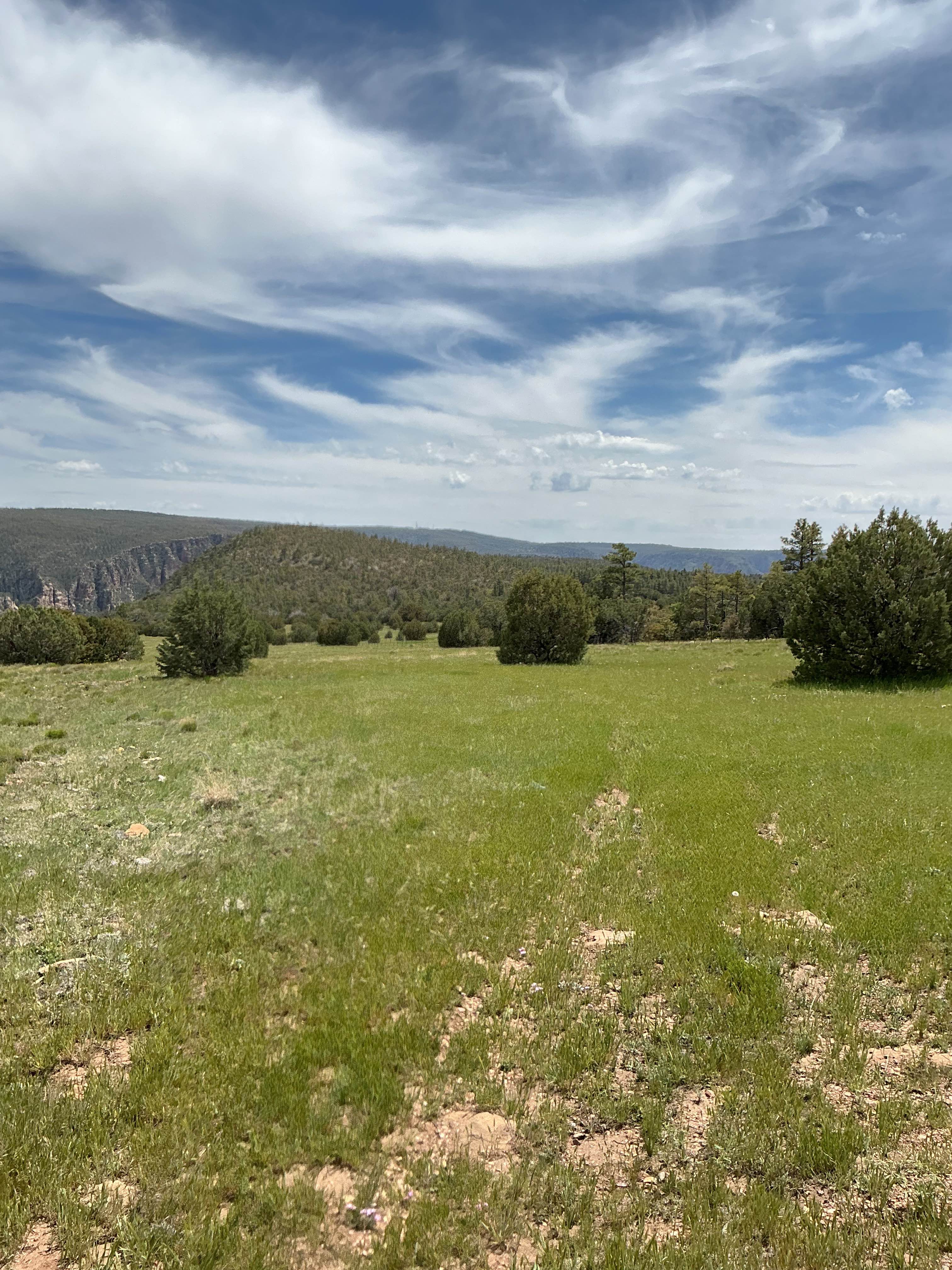
The Safford-Morenci Trailhead West begins as a rocky, narrow path that soon drops into a broad wash. While the trail itself is relatively well-maintained and level, the wash is filled with small rocks that make for a bumpy ride. This stretch is particularly scenic, with signs of local wildlife adding to its quiet charm. As the trail continues, it features several steep, rocky ascents and descents before dropping down again toward the Trailhead. This final section requires a capable high-clearance 4x4 and can become challenging after rain. At the Trailhead, a visitors' book awaits--though entries are few, likely due to the trail's remote location and rough access rather than any lack of natural beauty. There are no dispersed campsites along the route, and amenities like trash disposal and water are unavailable. Surprisingly, cell service is fairly reliable; we even received a call while on the trail.
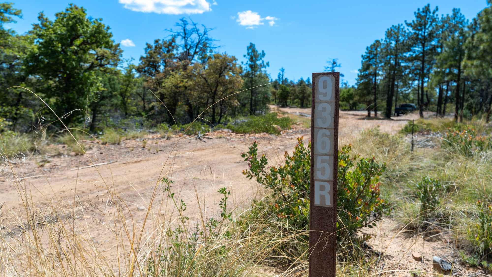
Photos of Safford-Morenci Trailhead West

Difficulty
The start of the trail is semi-maintained, but it soon has steep rocky ascents and descents.
History
The Gila Box Riparian National Conservation Area, established in 1990 and managed by the BLM, protects 23,000 acres of rare desert riparian habitat in southeastern Arizona. Centered around a scenic canyon formed by the Gila River, the area has a rich history of Indigenous use, Spanish exploration, and early American ranching. It was designated to preserve its diverse ecosystems--home to over 200 bird species, beavers, and native fish--alongside cultural sites and historic homesteads. Today, it offers recreation like rafting, hiking, and birdwatching while safeguarding a vital stretch of river in the desert.
Status Reports
Safford-Morenci Trailhead West can be accessed by the following ride types:
- High-Clearance 4x4
- SUV
- SxS (60")
- ATV (50")
Safford-Morenci Trailhead West Map
Popular Trails
Cochise Stronghold
Four Peaks Loop
The onX Offroad Difference
onX Offroad combines trail photos, descriptions, difficulty ratings, width restrictions, seasonality, and more in a user-friendly interface. Available on all devices, with offline access and full compatibility with CarPlay and Android Auto. Discover what you’re missing today!