Off-Road Trails in Arizona
Discover off-road trails in Arizona
Learn more about Sheridan Mountain #11
Sheridan Mountain #11
Total Miles
3.8
Tech Rating
Moderate
Best Time
Winter, Spring, Fall
Learn more about Shoebuckle Road 1059
Shoebuckle Road 1059
Total Miles
8.1
Tech Rating
Easy
Best Time
Fall, Spring
Learn more about Shoemaker Connector
Shoemaker Connector
Total Miles
1.7
Tech Rating
Moderate
Best Time
Spring, Fall, Winter
Learn more about Shoemaker Spring 
Shoemaker Spring
Total Miles
1.5
Tech Rating
Moderate
Best Time
Winter, Fall, Spring
Learn more about Shoemaker Spring Access Trail 
Shoemaker Spring Access Trail
Total Miles
2.3
Tech Rating
Easy
Best Time
Spring, Winter, Fall
Learn more about Short Turkey - FR4748
Short Turkey - FR4748
Total Miles
3.8
Tech Rating
Easy
Best Time
Spring, Fall, Winter
Learn more about Side by Side Bypass 
Side by Side Bypass
Total Miles
2.0
Tech Rating
Easy
Best Time
Spring, Summer, Fall, Winter
Learn more about Side Quest
Side Quest
Total Miles
3.9
Tech Rating
Easy
Best Time
Spring, Summer, Fall, Winter
Learn more about Side Tracked 1
Side Tracked 1
Total Miles
1.5
Tech Rating
Easy
Best Time
Spring, Summer, Fall, Winter
Learn more about Side Trip - Single Track
Side Trip - Single Track
Total Miles
2.4
Tech Rating
Moderate
Best Time
Spring, Summer, Fall, Winter
Learn more about Sidewinder
Sidewinder
Total Miles
6.2
Tech Rating
Easy
Best Time
Spring, Summer, Fall, Winter
Learn more about Sidewinder Trail
Sidewinder Trail
Total Miles
10.8
Tech Rating
Moderate
Best Time
Spring, Summer, Fall, Winter
Learn more about Sienna Hills Super Highway
Sienna Hills Super Highway
Total Miles
1.8
Tech Rating
Moderate
Best Time
Spring, Summer, Fall, Winter
Learn more about Signal Ghost Town Trail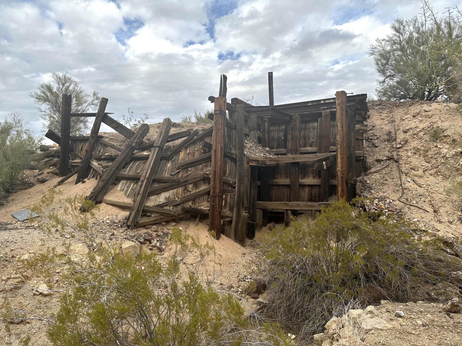
Signal Ghost Town Trail
Total Miles
18.7
Tech Rating
Easy
Best Time
Spring, Summer, Fall, Winter
Learn more about Silverbell Sasco Loop
Silverbell Sasco Loop
Total Miles
53.2
Tech Rating
Moderate
Best Time
Summer, Fall
Learn more about Sim's Trail 
Sim's Trail
Total Miles
1.8
Tech Rating
Moderate
Best Time
Spring, Fall, Winter
Learn more about Sim's Warm Up - Single Track
Sim's Warm Up - Single Track
Total Miles
1.4
Tech Rating
Moderate
Best Time
Spring, Summer, Fall, Winter
Learn more about Single Power Canal
Single Power Canal
Total Miles
4.1
Tech Rating
Easy
Best Time
Spring, Summer, Fall, Winter
ATV trails in Arizona
Learn more about Scrub Oak Bypass 
Scrub Oak Bypass
Total Miles
0.5
Tech Rating
Easy
Best Time
Spring, Summer, Fall


UTV/side-by-side trails in Arizona
Learn more about Scrub Oak Bypass
Scrub Oak Bypass
Total Miles
0.5
Tech Rating
Easy
Best Time
Spring, Summer, Fall
The onX Offroad Difference
onX Offroad combines trail photos, descriptions, difficulty ratings, width restrictions, seasonality, and more in a user-friendly interface. Available on all devices, with offline access and full compatibility with CarPlay and Android Auto. Discover what you’re missing today!