Signal Ghost Town Trail
Total Miles
18.7
Technical Rating
Best Time
Spring, Summer, Fall, Winter
Trail Type
Full-Width Road
Accessible By
Trail Overview
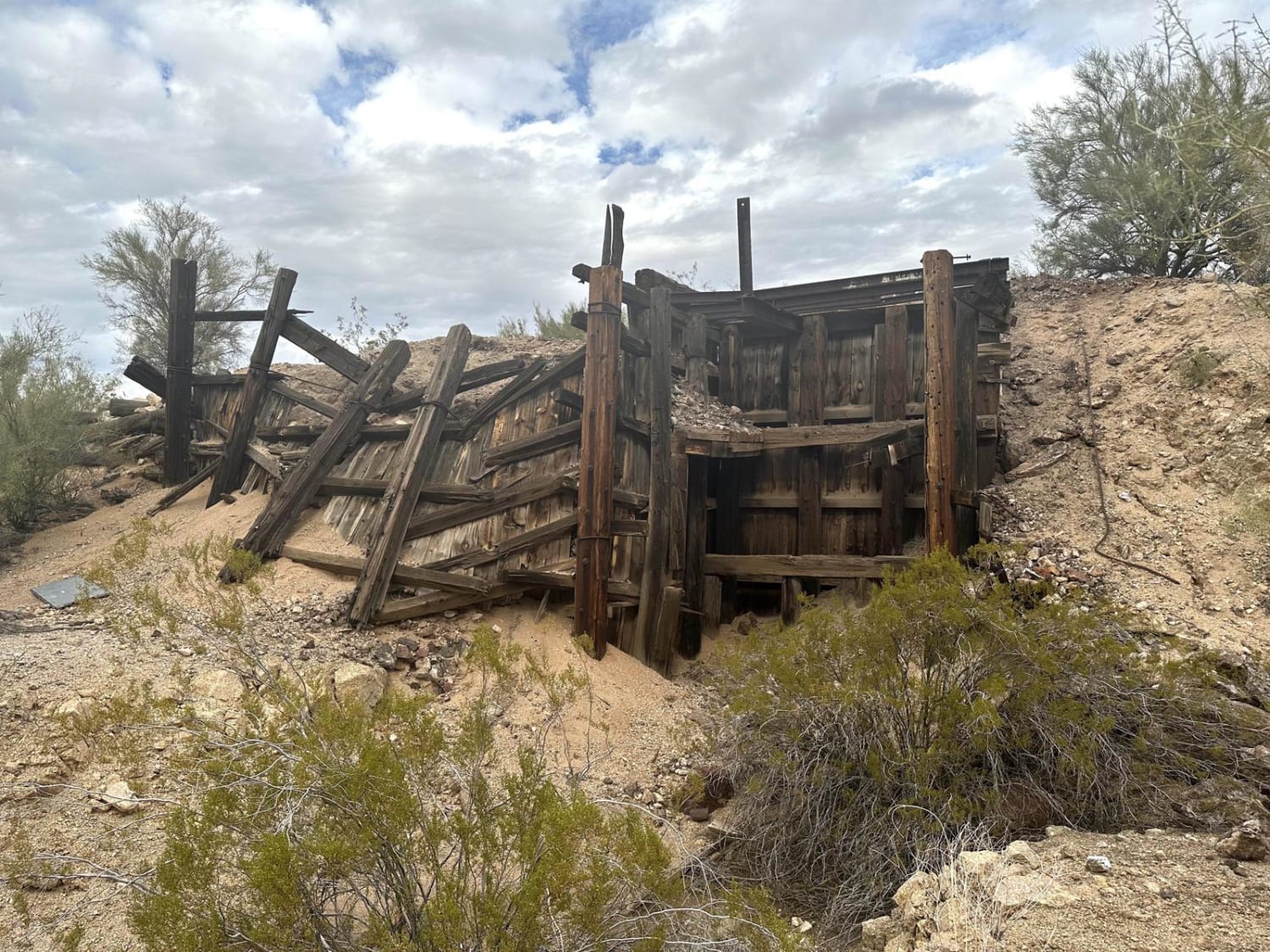
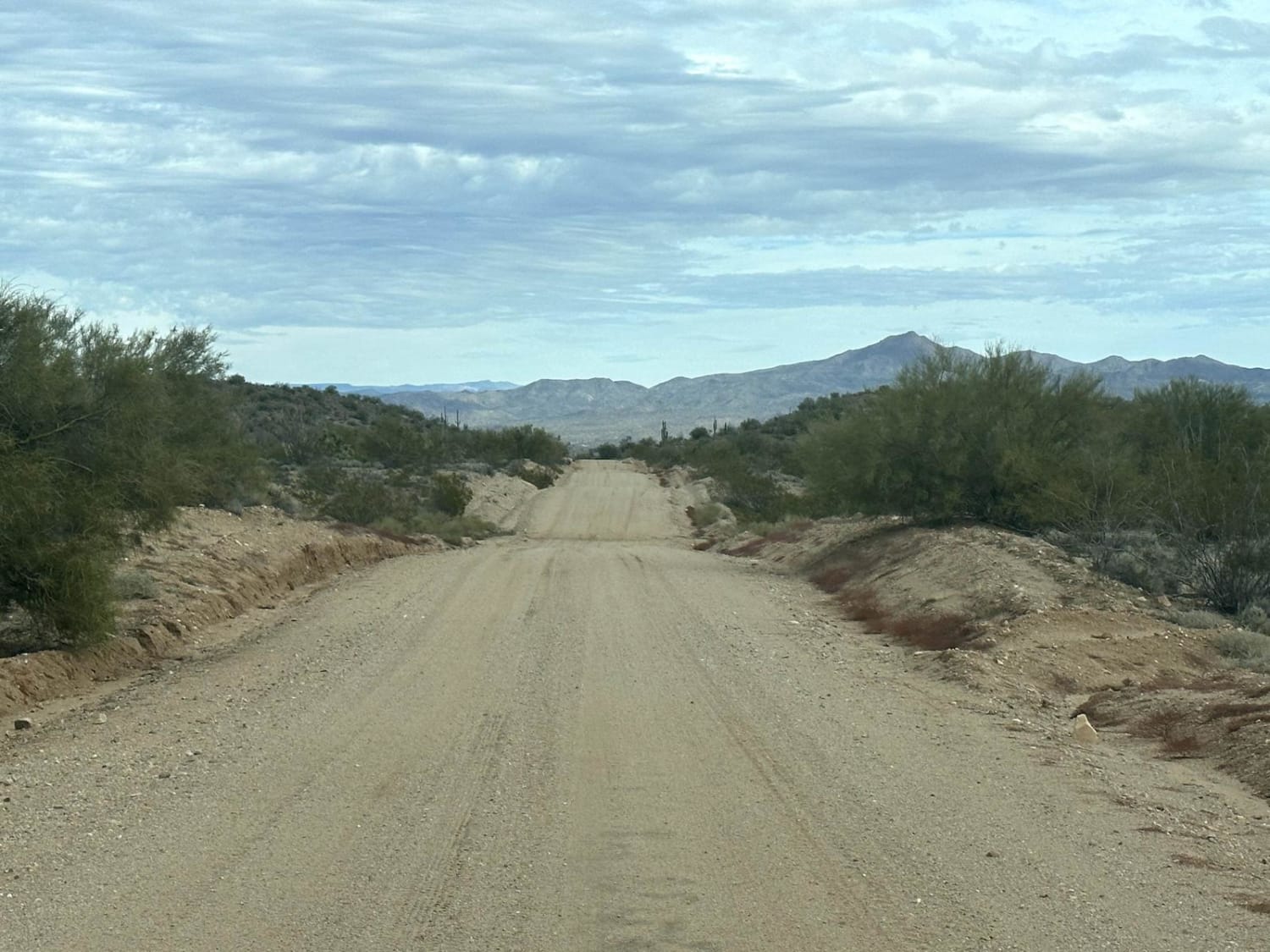
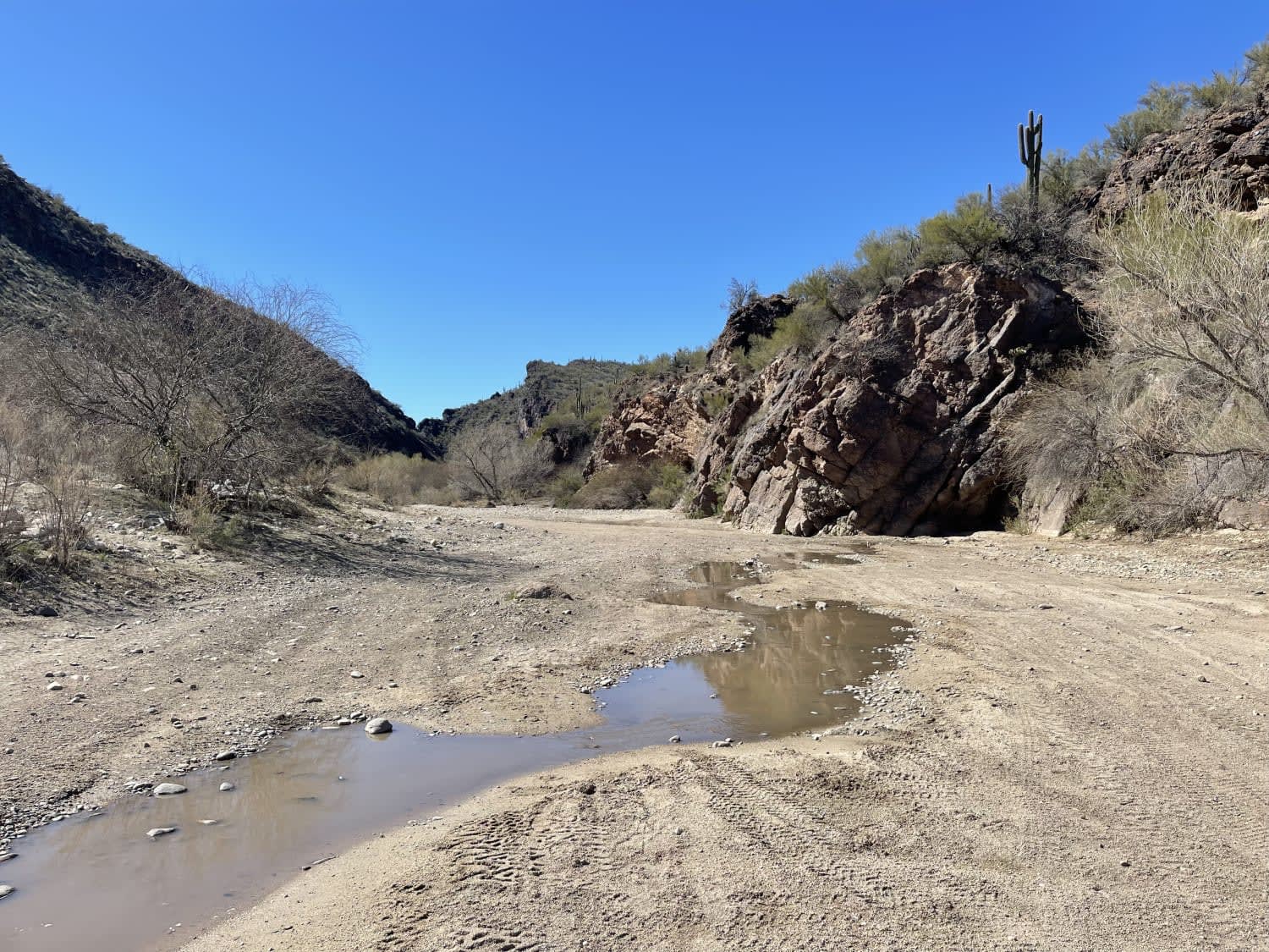
This 18.7-mile point-to-point trail runs along Signal Road with a stop at the Old Signal Ghost Town and mine. This is a maintained county road and is passable by stock vehicles. This trail passes through the Big Sandy River twice and may be impassable several days after a rainstorm. At the halfway point is the location of the old signal ghost town. There are a few foundations left of houses and the old mine and mill house foundations are visible.
Photos of Signal Ghost Town Trail
Difficulty
2 water crossings that have the potential of being up to 12" in depth. If deeper the road will be closed.
Status Reports
Signal Ghost Town Trail can be accessed by the following ride types:
- High-Clearance 4x4
- SUV
- SxS (60")
- ATV (50")
- Dirt Bike
Signal Ghost Town Trail Map
Popular Trails
Box Canyon Access Trail


Lazy Lizard - FR 9600S
Seegmiller Mountain Tower Road BLM 1077
The onX Offroad Difference
onX Offroad combines trail photos, descriptions, difficulty ratings, width restrictions, seasonality, and more in a user-friendly interface. Available on all devices, with offline access and full compatibility with CarPlay and Android Auto. Discover what you’re missing today!