Sa1075
Total Miles
1.4
Technical Rating
Best Time
Spring, Fall, Winter, Summer
Trail Type
Full-Width Road
Accessible By
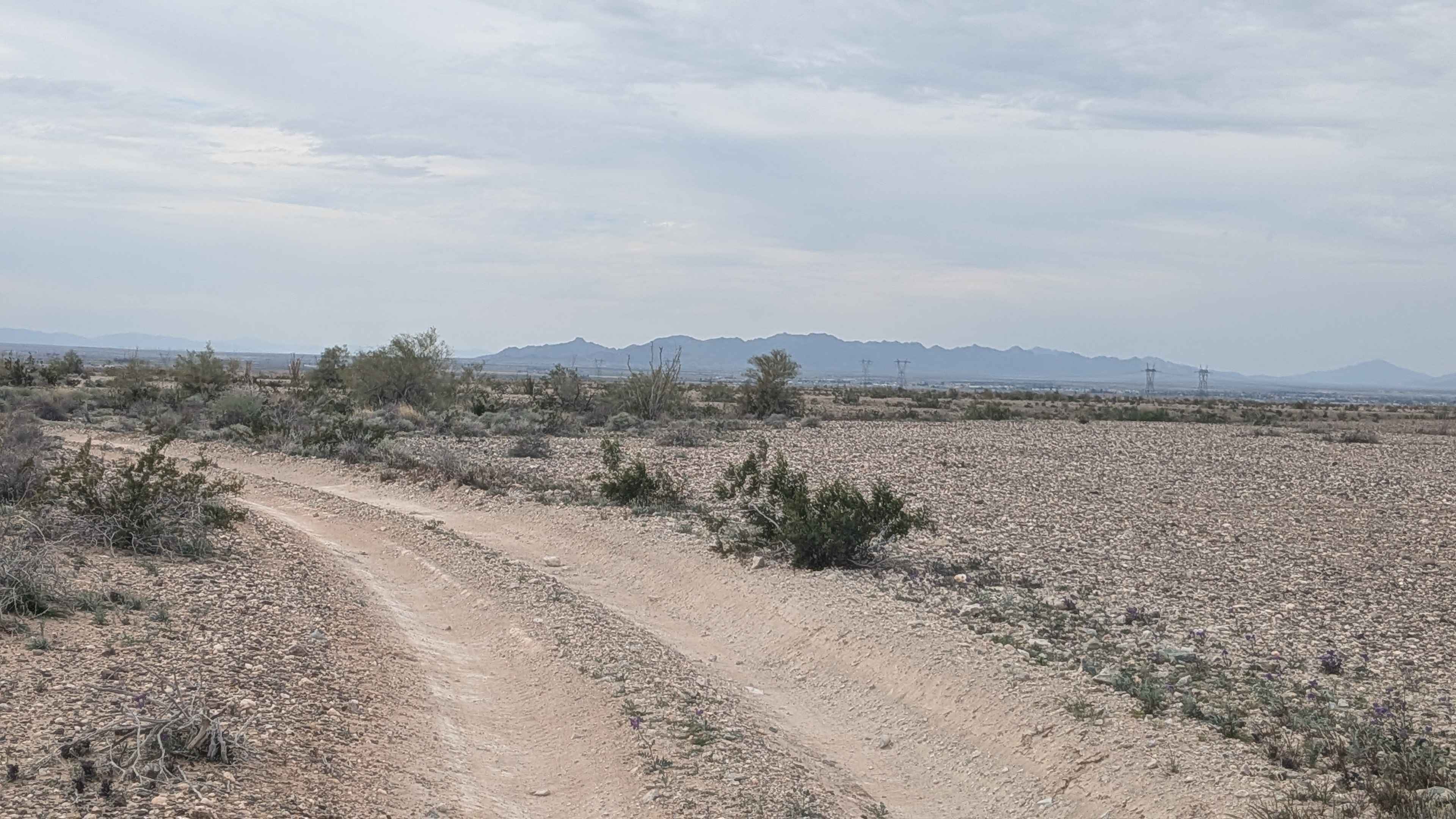
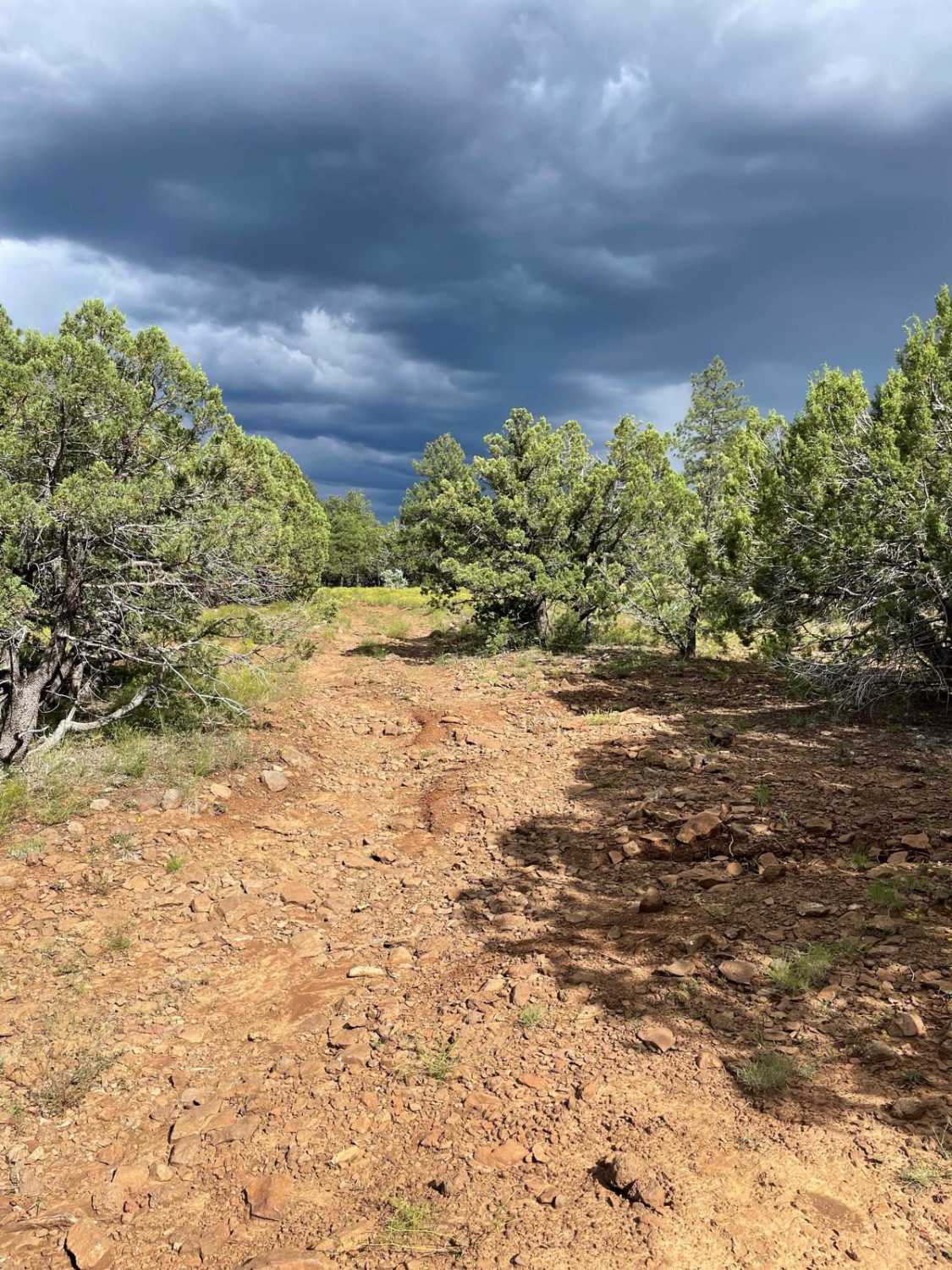
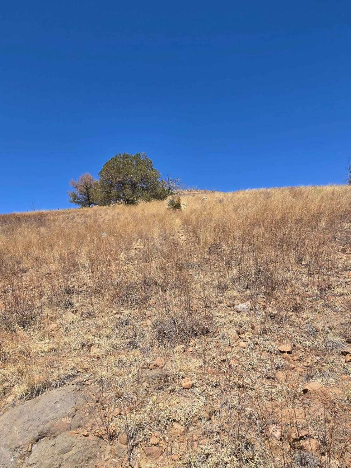
Trail Overview
Sa1075 begins on the east side of Sa1074 and runs south as an out-and-back trail, ending at private property. The sandy gravel road offers beautiful views of Mount Graham to the south. The trail is mostly flat but can be tricky to navigate due to overgrowth, green grass, and pinstripe hazards, especially toward the south end. A berm near the private property prevents further progress toward the mine. Washed out but passable if approached carefully best to exit your vehicle and inspect before crossing. Full-size trees in the trail, cactus ground cover, and additional berms make navigation the most challenging sections. The trail offers pretty views and a few unmapped side trails beyond the water tank. 2WD or 4WD high clearance is recommended, and caution is advised due to natural obstacles and overgrown sections.
Photos of Sa1075


Difficulty
Four-wheel drive or high-clearance two-wheel drive is needed due to a large washout that must be navigated near the tank detour. Overgrown sections may result in light brush contact along the vehicle.
Status Reports
Sa1075 can be accessed by the following ride types:
- High-Clearance 4x4
- SUV
- SxS (60")
- ATV (50")
- Dirt Bike
Sa1075 Map
Popular Trails

Hog Canyon Side Trail
The onX Offroad Difference
onX Offroad combines trail photos, descriptions, difficulty ratings, width restrictions, seasonality, and more in a user-friendly interface. Available on all devices, with offline access and full compatibility with CarPlay and Android Auto. Discover what you’re missing today!