Off-Road Trails in Arizona
Discover off-road trails in Arizona
Learn more about Round Hill Road Secondary
Round Hill Road Secondary
Total Miles
2.8
Tech Rating
Easy
Best Time
Spring, Summer, Fall, Winter
Learn more about Round Mountain Lookout
Round Mountain Lookout
Total Miles
0.8
Tech Rating
Moderate
Best Time
Fall, Summer, Spring
Learn more about Round the Bend (LP193)
Round the Bend (LP193)
Total Miles
1.5
Tech Rating
Easy
Best Time
Spring, Summer, Fall, Winter
Learn more about Round the Mountain Trail
Round the Mountain Trail
Total Miles
8.0
Tech Rating
Easy
Best Time
Spring, Summer, Fall, Winter
Learn more about Roundabout (HS44P)
Roundabout (HS44P)
Total Miles
2.4
Tech Rating
Easy
Best Time
Spring, Summer, Fall, Winter
Learn more about Route 4253 Welton Kofa Road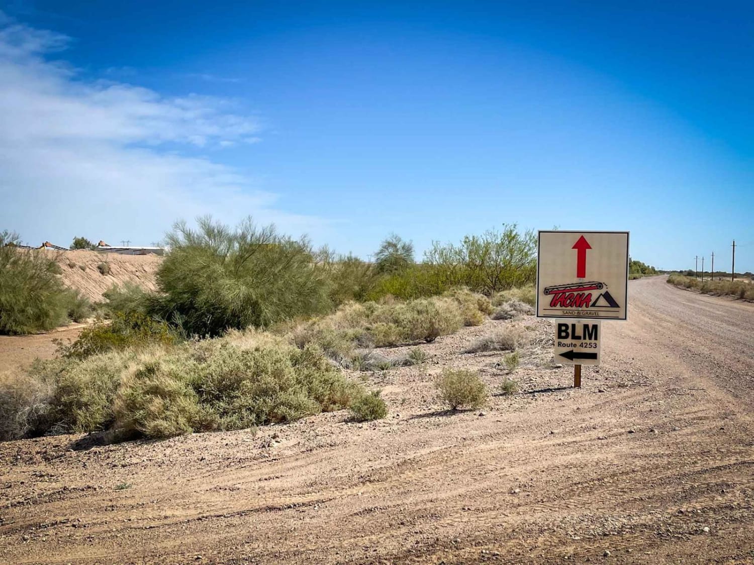
Route 4253 Welton Kofa Road
Total Miles
2.9
Tech Rating
Easy
Best Time
Spring, Fall, Winter
Learn more about RS Roundabout
RS Roundabout
Total Miles
3.6
Tech Rating
Easy
Best Time
Spring, Summer, Fall
Learn more about RTE C3007
RTE C3007
Total Miles
8.4
Tech Rating
Easy
Best Time
Winter, Fall, Summer, Spring
Learn more about Rucker Canyon
Rucker Canyon
Total Miles
5.4
Tech Rating
Easy
Best Time
Fall, Winter, Summer, Spring
Learn more about Rucker Canyon Road
Rucker Canyon Road
Total Miles
8.6
Tech Rating
Easy
Best Time
Fall, Summer, Spring, Winter
Learn more about Rug Road to Klondyke
Rug Road to Klondyke
Total Miles
59.4
Tech Rating
Difficult
Best Time
Summer, Fall
Learn more about Ruin Mountain
Ruin Mountain
Total Miles
5.0
Tech Rating
Easy
Best Time
Fall, Summer, Spring
Learn more about Ruins & Gold Pans 
Ruins & Gold Pans
Total Miles
1.0
Tech Rating
Easy
Best Time
Spring, Summer, Fall
Learn more about Running Wild
Running Wild
Total Miles
0.9
Tech Rating
Easy
Best Time
Spring, Summer, Winter, Fall
Learn more about Russell Tank Road
Russell Tank Road
Total Miles
4.1
Tech Rating
Easy
Best Time
Spring, Summer, Fall
Learn more about RV Oasis Bypass East
RV Oasis Bypass East
Total Miles
0.5
Tech Rating
Easy
Best Time
Summer, Spring, Fall, Winter
ATV trails in Arizona
Learn more about Scrub Oak Bypass 
Scrub Oak Bypass
Total Miles
0.5
Tech Rating
Easy
Best Time
Spring, Summer, Fall


UTV/side-by-side trails in Arizona
Learn more about Scrub Oak Bypass
Scrub Oak Bypass
Total Miles
0.5
Tech Rating
Easy
Best Time
Spring, Summer, Fall
The onX Offroad Difference
onX Offroad combines trail photos, descriptions, difficulty ratings, width restrictions, seasonality, and more in a user-friendly interface. Available on all devices, with offline access and full compatibility with CarPlay and Android Auto. Discover what you’re missing today!