Rucker Canyon Road
Total Miles
8.6
Technical Rating
Best Time
Fall, Summer, Spring, Winter
Trail Type
Full-Width Road
Accessible By
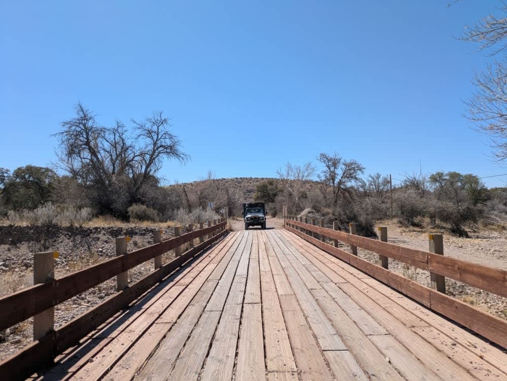
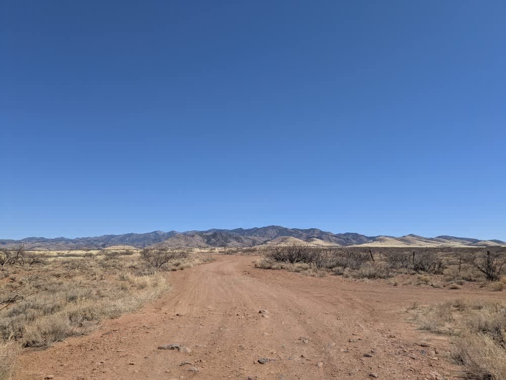
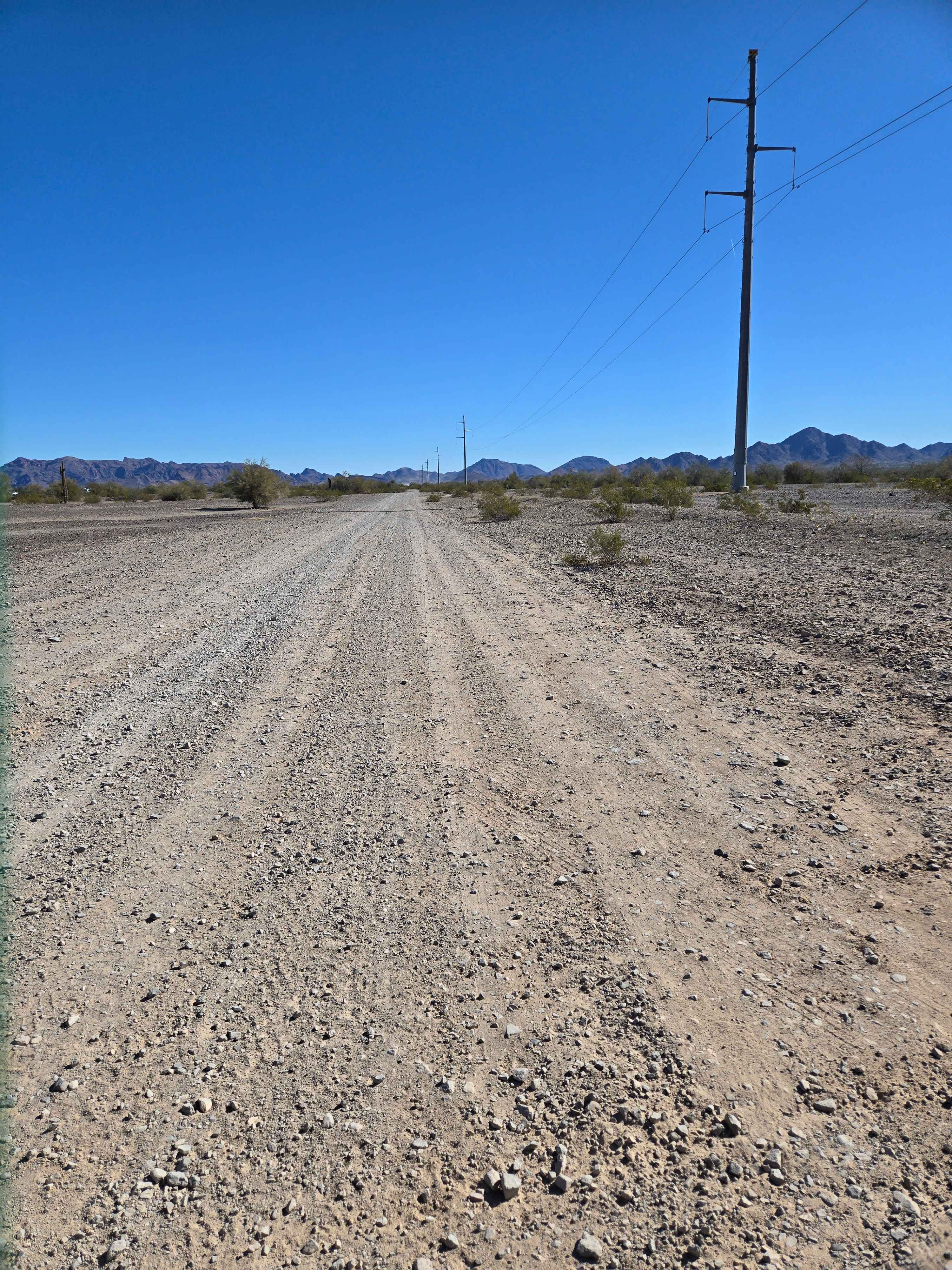
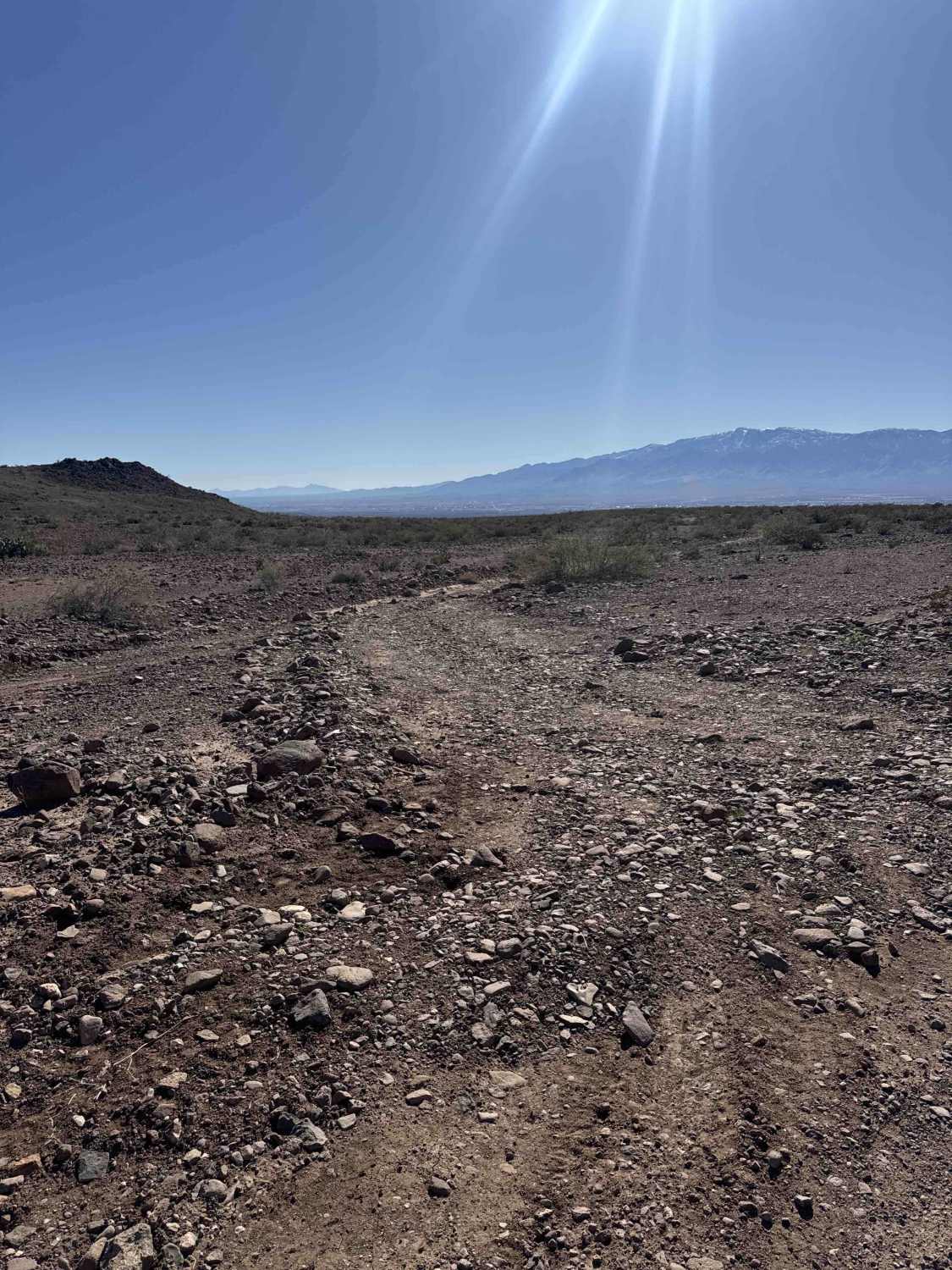
Trail Overview
This well-maintained and graded access road leads into the Chiricahua Wilderness which forms part of the Coronado National Forest, winding gently through a landscape of scenic ranches and rolling turns--drivers should adjust speed accordingly. The route follows a fenced boundary and offers sweeping views of tall, windblown grasses framed by rugged peaks and distant hills.
Photos of Rucker Canyon Road
Difficulty
This is a well-maintained and graded road without any difficult obstacles.
History
Rucker Canyon is named after an Army lieutenant who drowned in its creek during a water rescue attempt in the 1870s.
Status Reports
Rucker Canyon Road can be accessed by the following ride types:
- High-Clearance 4x4
- SUV
- SxS (60")
- ATV (50")
- Dirt Bike
Rucker Canyon Road Map
Popular Trails
Temple Trail (Southern Section)

Stanton Road - CR109
The onX Offroad Difference
onX Offroad combines trail photos, descriptions, difficulty ratings, width restrictions, seasonality, and more in a user-friendly interface. Available on all devices, with offline access and full compatibility with CarPlay and Android Auto. Discover what you’re missing today!