Rucker Canyon
Total Miles
5.4
Technical Rating
Best Time
Fall, Winter, Summer, Spring
Trail Type
Full-Width Road
Accessible By
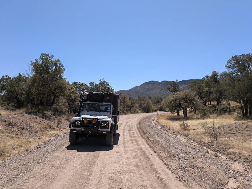
Trail Overview
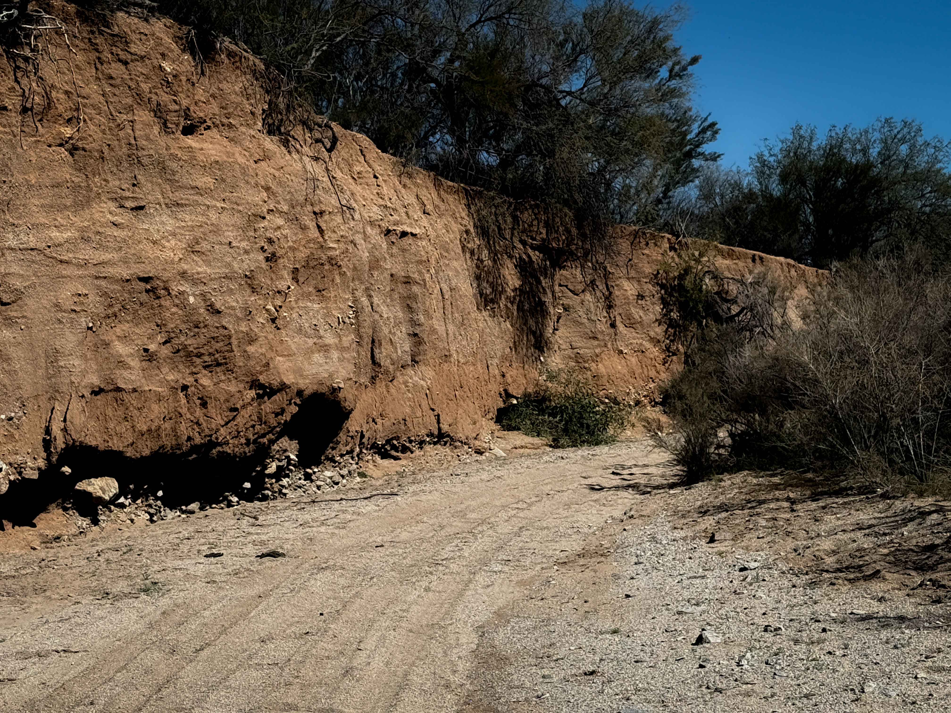
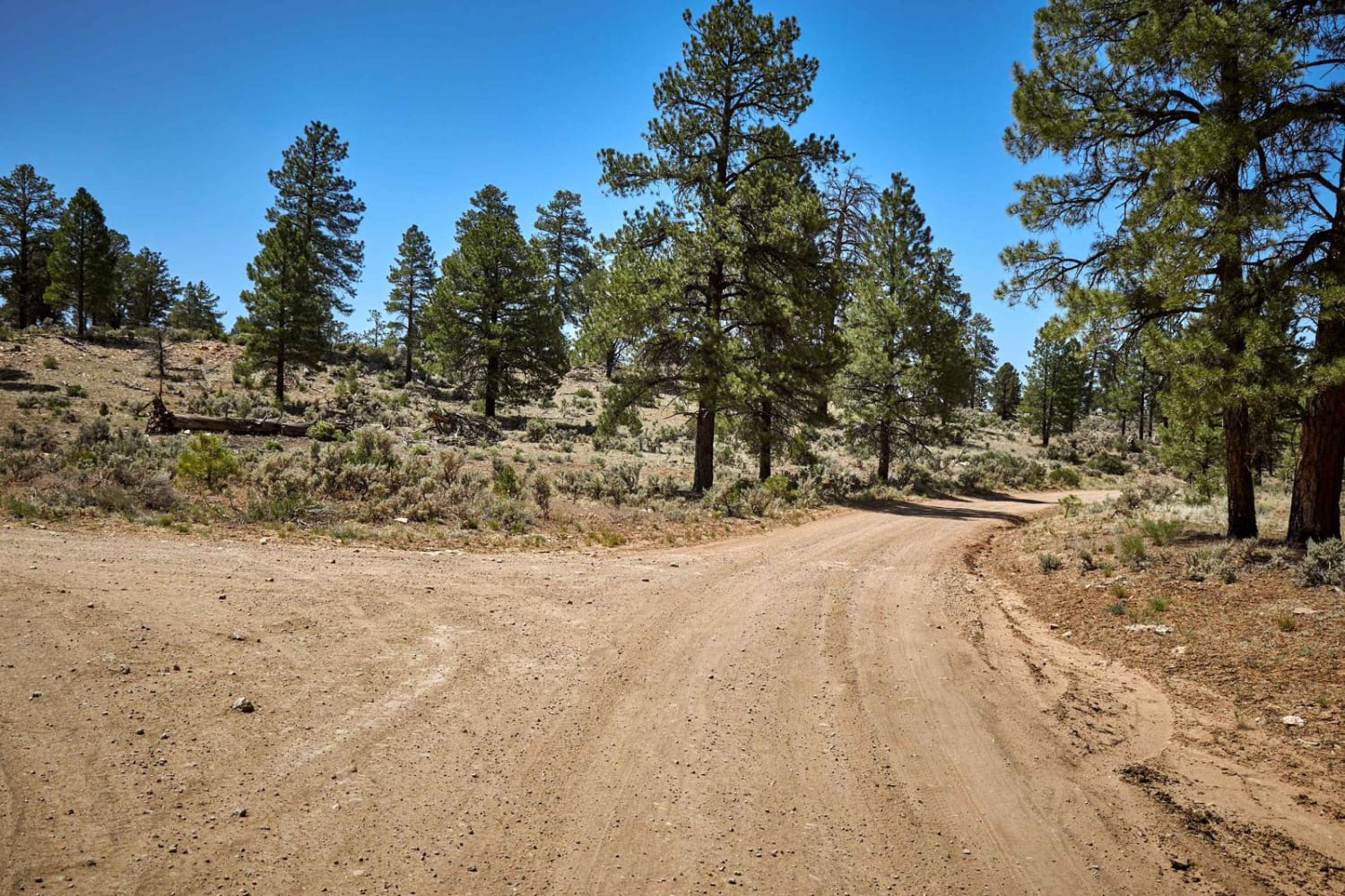
The trail begins at the tidy and well-kept Walnut Grove Campground and starts out on a well-maintained path. Grasslands stretch out to the left and across the valley, gradually giving way to pine forests as you leave the mesquite lowlands behind. The route winds through the hills and becomes moderately challenging, with several wide-wash crossings along the way. It ends at the Rucker Forest Camp Trailhead. Numerous dispersed campsites can be found along the road, with plenty of spurs and side trails to explore. This is one of our favorite routes in the Coronado National Forest.
Photos of Rucker Canyon
Difficulty
This is a well-maintained trail without any difficult obstacles.
History
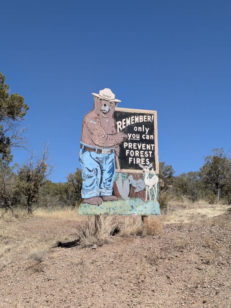
The Chiricahua Wilderness spans 87,700 acres of rugged terrain, encompassing the upper slopes and canyons of the largest mountain range in the Sky Island region. Topped by 9,797-foot Chiricahua Peak, the area is known for its striking geology and remarkable biodiversity. Subtropical species more common to Mexico and Central America thrive here alongside native wildlife, drawing nature enthusiasts from around the world. Sharp ridges, high peaks, and deep canyons define this wild landscape, which once served as a stronghold for the Chiricahua Apaches, including leaders Cochise and Geronimo. In later years, prospectors, loggers, and ranchers were drawn to its remote beauty.
Status Reports
Rucker Canyon can be accessed by the following ride types:
- High-Clearance 4x4
- SUV
- SxS (60")
- ATV (50")
- Dirt Bike
Rucker Canyon Map
Popular Trails
Upper Brady Wash

Foolish Cat - 9110B

The onX Offroad Difference
onX Offroad combines trail photos, descriptions, difficulty ratings, width restrictions, seasonality, and more in a user-friendly interface. Available on all devices, with offline access and full compatibility with CarPlay and Android Auto. Discover what you’re missing today!