Sa1069
Total Miles
2.3
Technical Rating
Best Time
Summer, Fall, Winter, Spring
Trail Type
Full-Width Road
Accessible By
Trail Overview
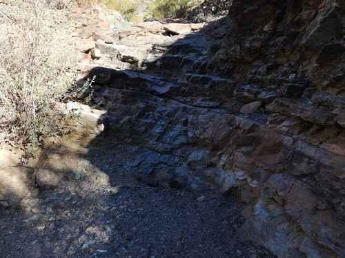
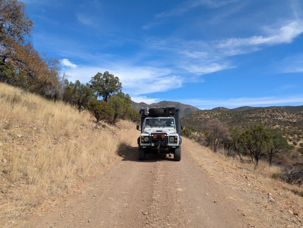
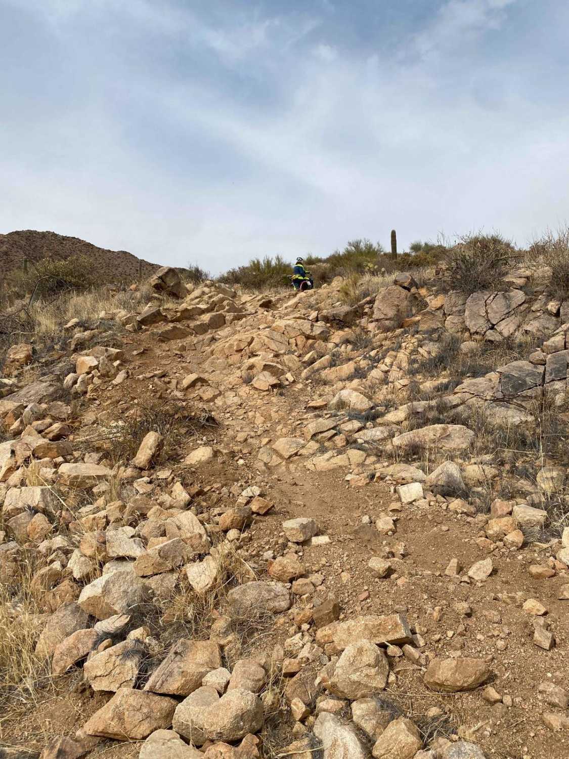
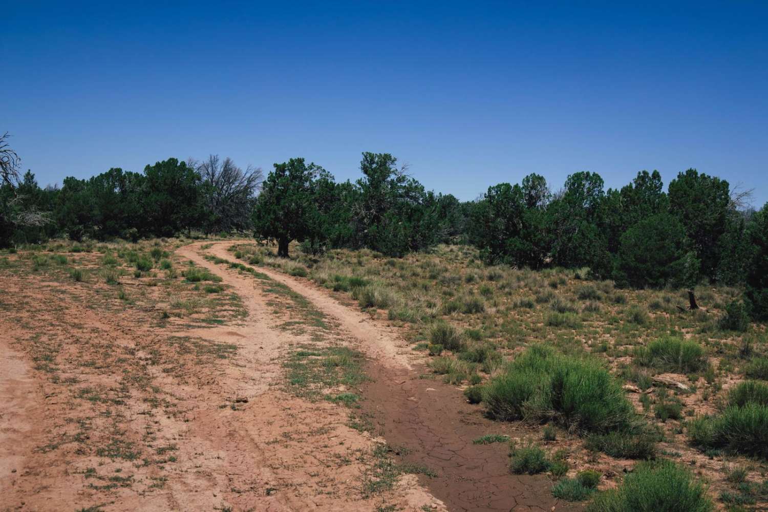
Trail SA1069 begins at the end of SA1070 and serves as a connector track within this trail network, leading to the northernmost point in the system. The trail surface starts as rocky gravel and transitions into larger rocks as you progress. It's a single-vehicle-wide route suitable for 2WD in dry conditions, but 4WD is recommended. There are ruts hidden in the road, so watch your speed. Heading north offers great views of Weber Peak. Expect multiple washouts along the way, with rock size increasing the farther you go. A key point of interest is a wash crossing where long-bed vehicles may experience drag due to the breakover angle. This trail gets rougher before it improves. At one point, you'll turn right into a very overgrown, lightly traveled wash. It becomes narrow, with heavy vegetation causing pinstripes along the sides and potential underbody contact. Eventually, it opens back up and winds through the terrain before ending at SA1072 and a private property fence line.
Photos of Sa1069


Difficulty
This trail becomes a drainage route during heavy rain, which can create challenging conditions. Expect boulders and debris in these areas that may require careful navigation.
Status Reports
Sa1069 can be accessed by the following ride types:
- High-Clearance 4x4
- SUV
- SxS (60")
- ATV (50")
- Dirt Bike
Sa1069 Map
Popular Trails
Tougher Green Miles
P5010 - Lost Hills
The onX Offroad Difference
onX Offroad combines trail photos, descriptions, difficulty ratings, width restrictions, seasonality, and more in a user-friendly interface. Available on all devices, with offline access and full compatibility with CarPlay and Android Auto. Discover what you’re missing today!