P5010 - Lost Hills
Total Miles
7.3
Technical Rating
Best Time
Spring, Fall, Winter
Trail Type
Single Track
Accessible By
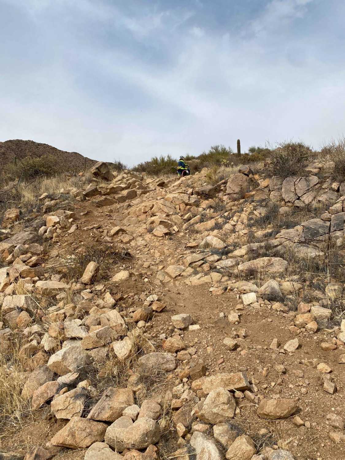
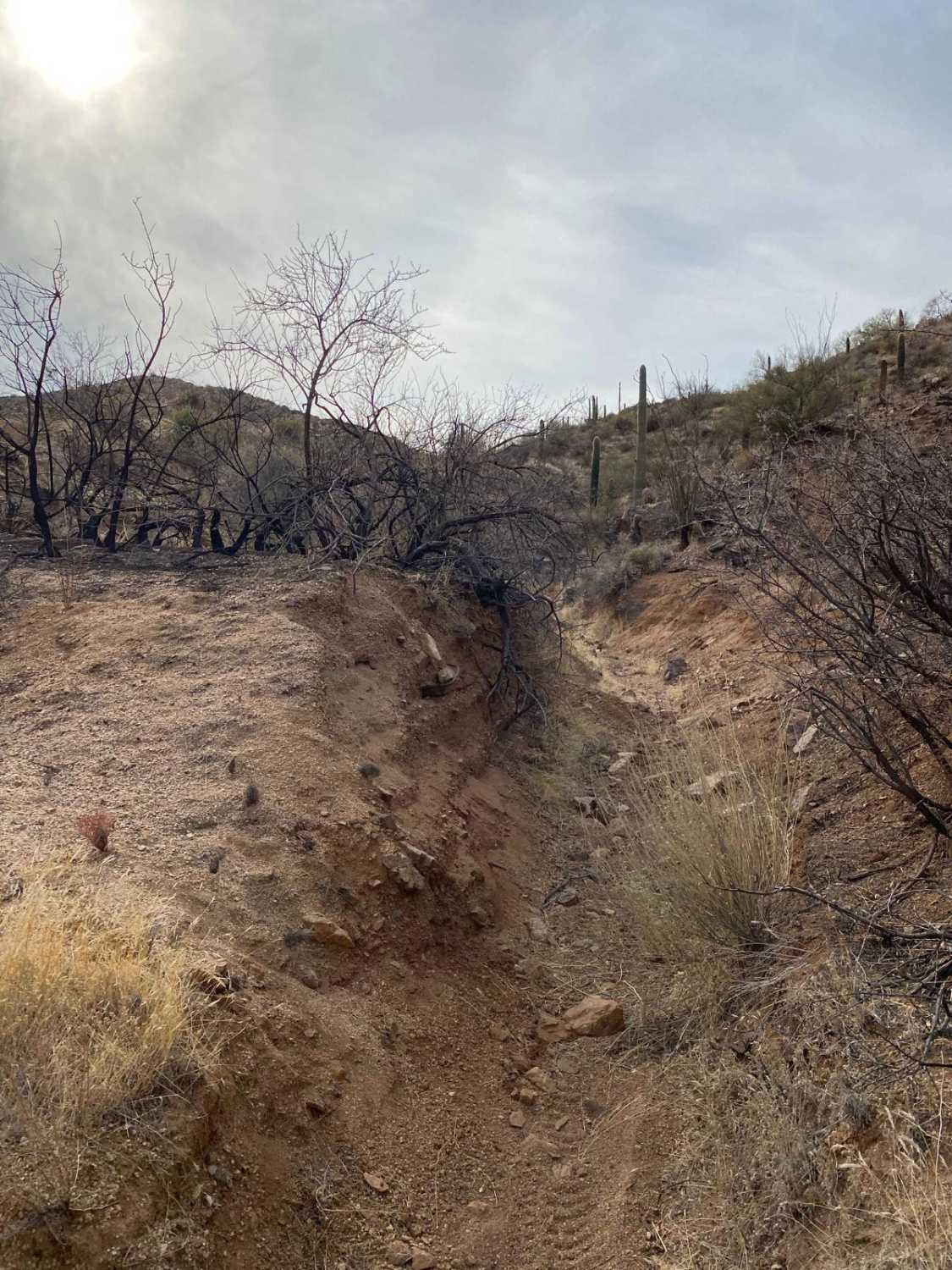
Trail Overview
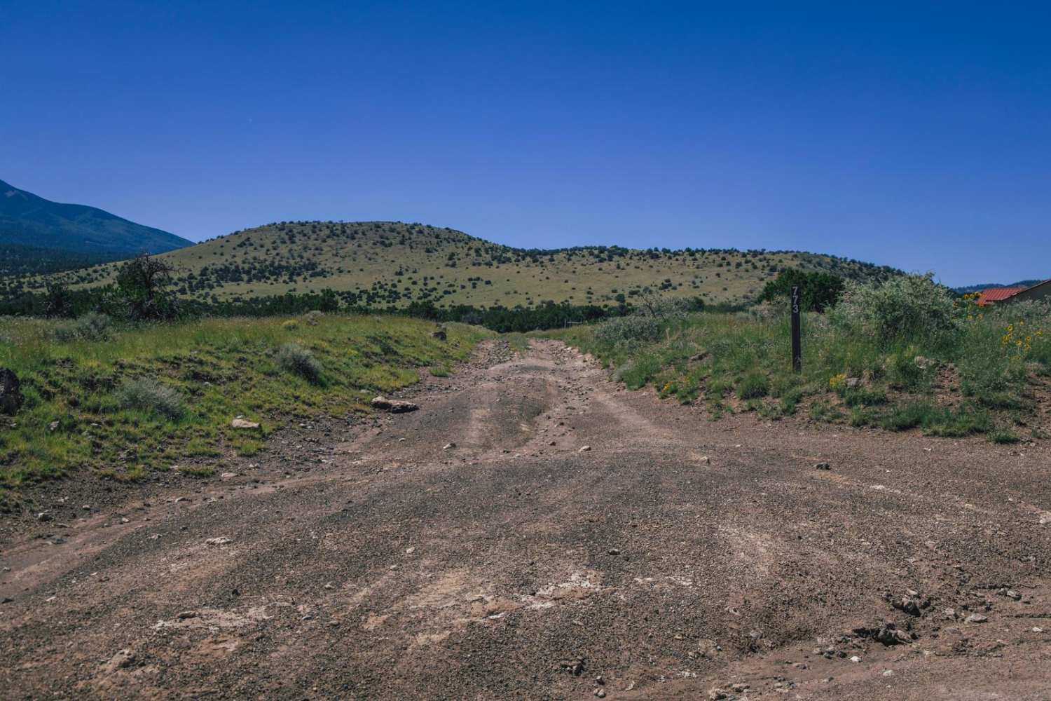
This trail takes you around the West side of West Granite Mountain from trail 3456 on the North end to 160 on the South end (via P5008). Starting from the South end of this trail, you'll encounter some fast, flowy desert singletrack that slowly turns into a mountainous and rocky trail as you come around West Granite Mountain and then finally exiting through a wash with a deep loose gravel hill climb to get up, over, and down to 3456. Once you get up and over the loose climb, you'll be able to see Bartlett Reservoir to your left. You'll find extremely varied terrain along this trail, but mostly rocky with many chances to ding up an expansion chamber or catch a foot peg. The mountain section showcases some beautiful views and offers spots to sit and have a snack along the way. About halfway through the trail, you'll come upon an old cattle corral that is overgrown with cacti and vegetation. *Note* This trail combines P5010, P5011A, and P5011B based on the MVUM as of Sept. 2021
Photos of P5010 - Lost Hills
Difficulty
There are many rutted sections with rocks and step-ups to navigate.
Status Reports
P5010 - Lost Hills can be accessed by the following ride types:
- Dirt Bike
P5010 - Lost Hills Map
Popular Trails

The onX Offroad Difference
onX Offroad combines trail photos, descriptions, difficulty ratings, width restrictions, seasonality, and more in a user-friendly interface. Available on all devices, with offline access and full compatibility with CarPlay and Android Auto. Discover what you’re missing today!