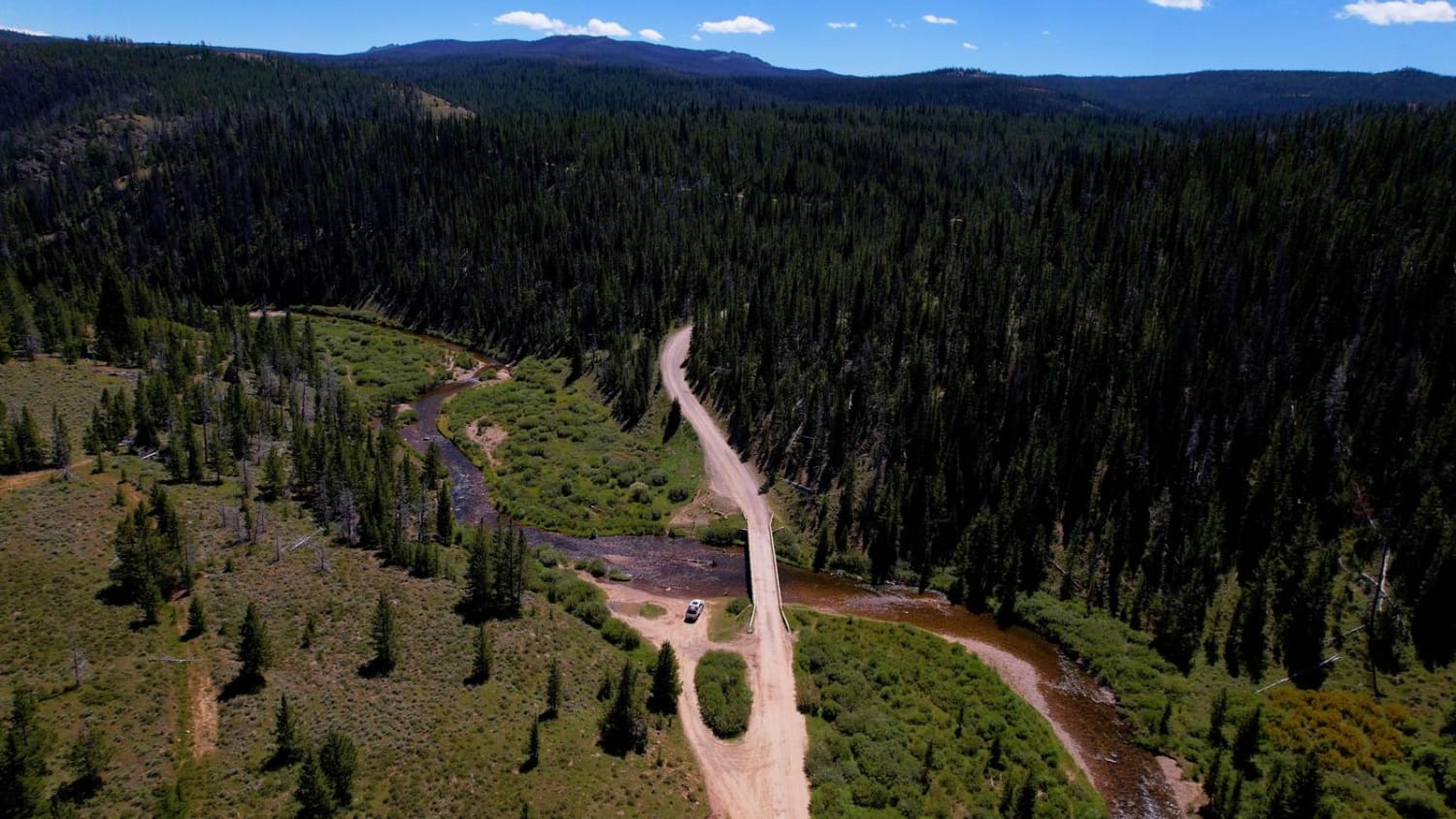
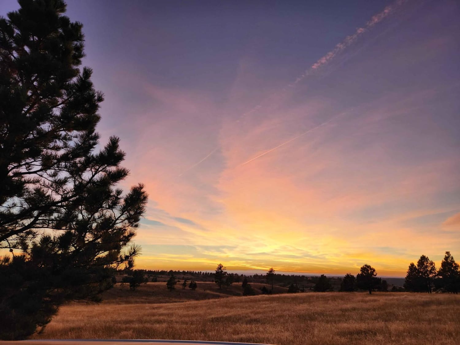
Off-Road Trails in Wyoming
Discover off-road trails in Wyoming
Learn more about Twin Mountain Trail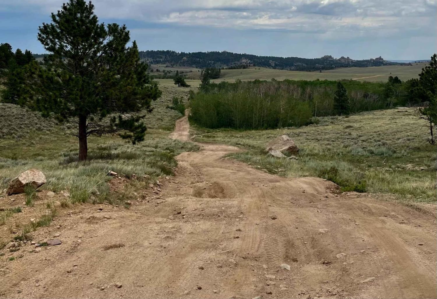
Twin Mountain Trail
Total Miles
3.3
Tech Rating
Moderate
Best Time
Summer, Fall, Spring
Learn more about Two Ocean Basin Trail
Two Ocean Basin Trail
Total Miles
8.5
Tech Rating
Easy
Best Time
Summer, Fall
Learn more about Two Ocean Lake Rd
Two Ocean Lake Rd
Total Miles
2.4
Tech Rating
Easy
Best Time
Spring, Summer, Fall

Learn more about USFS Road 307 - Centennial Ridge
USFS Road 307 - Centennial Ridge
Total Miles
3.6
Tech Rating
Easy
Best Time
Spring, Summer, Fall
Learn more about Valley Trail
Valley Trail
Total Miles
9.3
Tech Rating
Moderate
Best Time
Spring, Summer, Fall

Learn more about Web Creek Loop
Web Creek Loop
Total Miles
14.3
Tech Rating
Moderate
Best Time
Spring, Summer, Fall

Learn more about West Adobe Town Rim
West Adobe Town Rim
Total Miles
10.3
Tech Rating
Moderate
Best Time
Spring, Summer, Fall
Learn more about West Fork Smiths Fork
West Fork Smiths Fork
Total Miles
2.0
Tech Rating
Moderate
Best Time
Summer, Fall
Learn more about West Fork Smiths Fork Upper Trail
West Fork Smiths Fork Upper Trail
Total Miles
1.5
Tech Rating
Moderate
Best Time
Summer, Fall
Learn more about West Pilot Hill Road and Laycock Spring
West Pilot Hill Road and Laycock Spring
Total Miles
2.5
Tech Rating
Moderate
Best Time
Summer, Fall
Learn more about Where the Deer and the Antelope Play 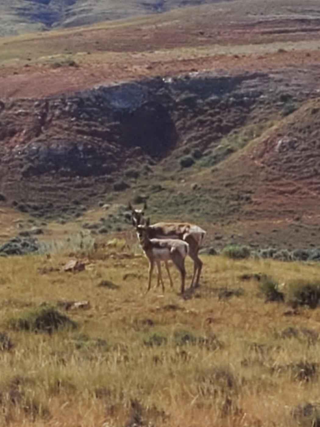
Where the Deer and the Antelope Play
Total Miles
4.8
Tech Rating
Easy
Best Time
Spring, Summer, Fall
ATV trails in Wyoming
Learn more about 554 Wildcat and 528 Geyser Creek
554 Wildcat and 528 Geyser Creek
Total Miles
13.9
Tech Rating
Easy
Best Time
Spring, Summer, Fall, Winter
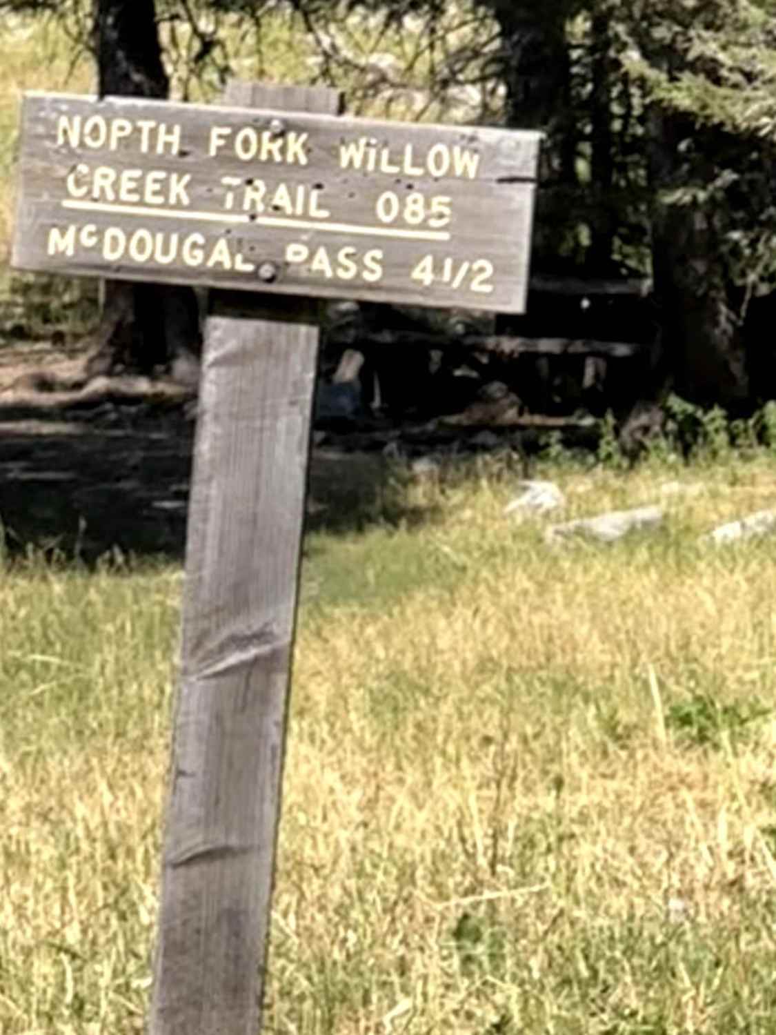
Learn more about 57 Route - Willow Creek
57 Route - Willow Creek
Total Miles
5.6
Tech Rating
Easy
Best Time
Summer, Spring, Fall
UTV/side-by-side trails in Wyoming
Learn more about 554 Wildcat and 528 Geyser Creek
554 Wildcat and 528 Geyser Creek
Total Miles
13.9
Tech Rating
Easy
Best Time
Spring, Summer, Fall, Winter
Learn more about 57 Route - Willow Creek
57 Route - Willow Creek
Total Miles
5.6
Tech Rating
Easy
Best Time
Summer, Spring, Fall
The onX Offroad Difference
onX Offroad combines trail photos, descriptions, difficulty ratings, width restrictions, seasonality, and more in a user-friendly interface. Available on all devices, with offline access and full compatibility with CarPlay and Android Auto. Discover what you’re missing today!