West Fork Smiths Fork Upper Trail
Total Miles
1.5
Technical Rating
Best Time
Summer, Fall
Trail Type
High-Clearance 4x4 Trail
Accessible By
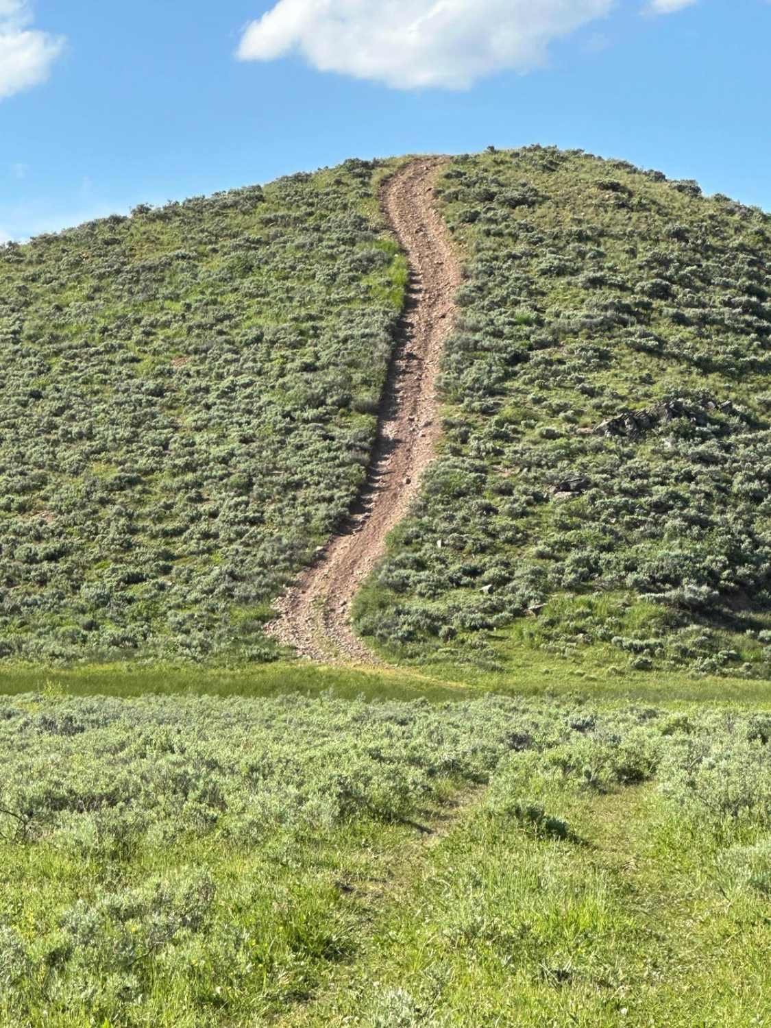
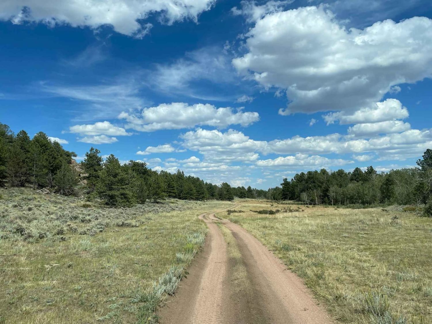
Trail Overview
The point-to-point trail is accessed from Dry Fork Rd. This trail will access the Smiths Fork River, which has views over Dry Fork Valley. Towards the trail's end, you'll ride on a narrow ridge that drops off into the valley Smiths Fork River runs through--not recommended for larger vehicles for the last part of the trail.
Photos of West Fork Smiths Fork Upper Trail

Difficulty
Steep grades and narrow ridge with a quick decent.
Status Reports
West Fork Smiths Fork Upper Trail can be accessed by the following ride types:
- High-Clearance 4x4
- SxS (60")
- ATV (50")
- Dirt Bike
West Fork Smiths Fork Upper Trail Map
Popular Trails
North Ridge Road

Lost Creek Ranch Road
The onX Offroad Difference
onX Offroad combines trail photos, descriptions, difficulty ratings, width restrictions, seasonality, and more in a user-friendly interface. Available on all devices, with offline access and full compatibility with CarPlay and Android Auto. Discover what you’re missing today!