
Off-Road Trails in Wyoming
Discover off-road trails in Wyoming
Off-Road Trails in Wyoming
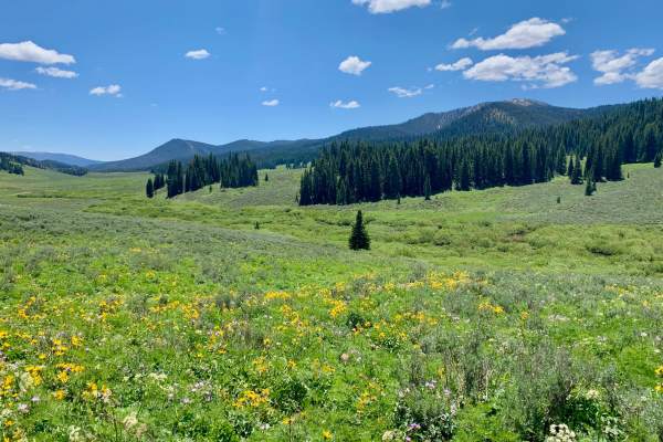
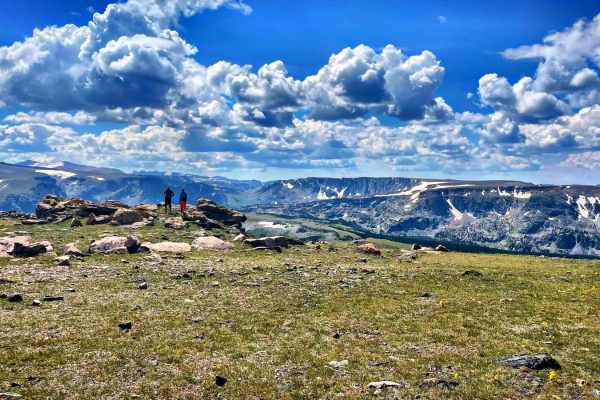
Discover the best off-road trails in Wyoming. Browse trail maps, check difficulty ratings, and find your next adventure — whether you're looking for a quick ride or an all-day expedition.
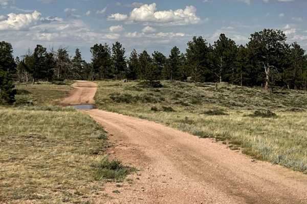
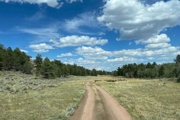
Eagle Rock
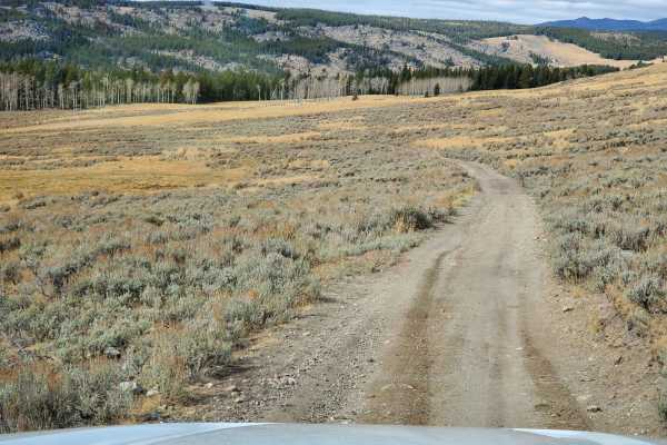
This Forest Service backroad cuts through the Medicine Bow National Forest, just north of HWY 210 and the unique Pole Mountain and Vedauwoo areas. This route offers single-lane country roads and provides access to lots of dispersed camping. There are several side tracks that can be driven to hone yo...
Learn more about Eagle Rock
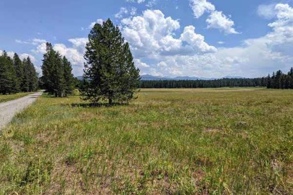
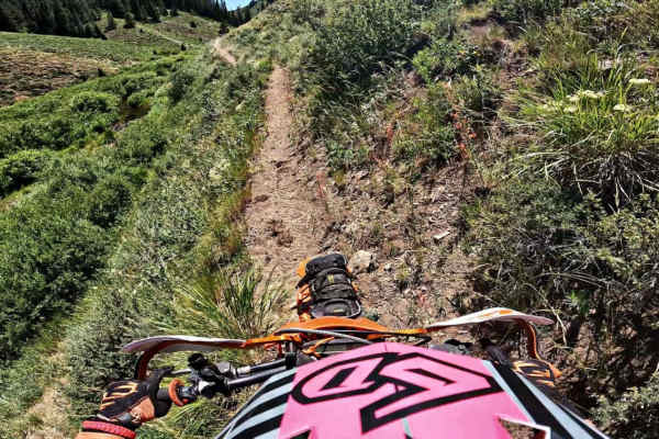
Jackass Loop Trail (FS 264)
Jackass Loop is a well-maintained two-way dirt road that crosses the Idaho-Wyoming state boundary in the Targhee National Forest. Running parallel to the Ashton-Flagg Ranch Road, the trail weaves through dense birch and pine trees that frequently give way to sprawling meadows and breath-taking views...
Learn more about Jackass Loop Trail (FS 264)
Hole In the Wall Overlook
This 40-mile trail starts in Kaycee, Wyoming, right off of I-25, and takes you to the canyon rim overlooking the Hole in the Wall Valley and Hole in the Wall Pass. You can stage in Kaycee and take Old Highway 87 south on the pavement to the underpass, which goes under I-25. From there, this track st...
Learn more about Hole In the Wall Overlook
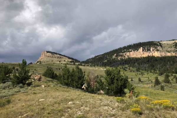
Dugway
This route is a steep scenic climb from the foothills of the Bighorn Mountains to near the top of Hunt Mountain which sits 10,000 feet above sea level. At various points on the road, you can see across the Bighorn Basin as you pass through forested areas. As you near the top, you get above the tre...
Learn more about Dugway
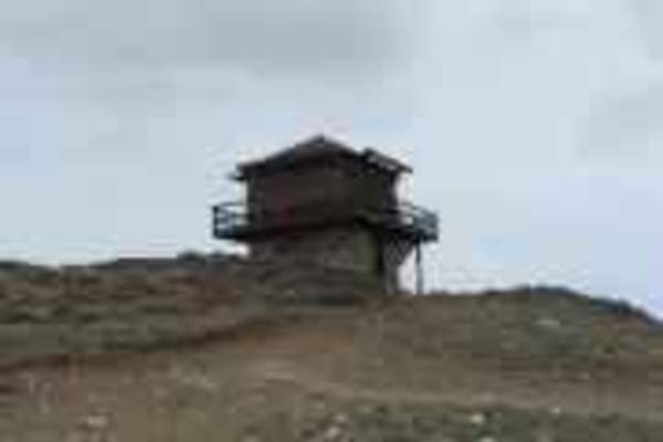
Sheep Mountain Fire Lookout Tower
From Highway 16, west of Buffalo, you take the Sheep Mountain Road to the lookout. It's an easy ride with spectacular views at the top. The fire lookout facility sits at 9600 feet in the beautiful Bighorn Mountains. You can stay overnight at the facility (rented by the Forest Service) or you can ...
Learn more about Sheep Mountain Fire Lookout Tower
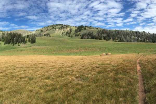
Wiggins Fork
When navigating this Forest Service road, you will find it mostly easy with views of rolling meadows to start. But the further you go, the terrain changes from a maintained dirt road to one that has small ruts, switchbacks, and rocks--nothing any 4WD or AWD vehicle can't get through. Along with the ...
Learn more about Wiggins Fork
Wyoming Big Horns
Start the day at the red-grade road outside Sheridan, Wyoming. It's not a good idea to ride in this area alone;this is very challenging riding. Start up the dirt road and come to a creek that is about 30 feet across and about 2 feet deep. Crossing on a bike isn't too bad. From there, cruise up some ...
Learn more about Wyoming Big Horns
Antelope Valley
This route follows US Forest Service Roads in the Bighorn National Forest. It starts and end at a large parking area on US 14 and makes a loop through pine forest and a mountain valley. The Northern part of this loop goes through wooded areas and the trail has some large rocks as well as several wat...
Learn more about Antelope Valley
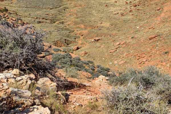
Spring Creek
Trail is open from May 5th to December 30th. This single-track meanders along Spring Creek, Wyoming. I would recommend starting in Idaho. The section closest to Idaho has difficult rock sections and steeper off-camber sections. There are a few places where the trail just vanishes below you. Lots of ...
Learn more about Spring Creek

Paintrock Falls
Starting from the Medicine Lodge Archeological Site, this trail goes up the foothills of the Big Horn Mountains to just above Paintrock Canyon using an easy trail and maintained gravel road. The trail then descends into the canyon on a more technical section. At the end of the road, walk just a coup...
Learn more about Paintrock Falls
Palisades Indian Creek
This route has amazing views while you ride along two forks of a creek that enter Palisades after their confluence towards the trailhead. The route takes the rider from 5,800 to 9,400 feet while crossing and riding in the creek. On the southern side, the route is only 5 miles from the Hoback, a very...
Learn more about Palisades Indian Creek
Squaw Creek
This trail has two important notes. First is that it is only open to 50" ATV's or smaller. Second is that it is seasonal : open July 1st through August 10th. This trail offers beautiful mountain landscapes with aspens, pines, fields of grassy wildflowers, and sweeping views of peaks and valleys. The...
Learn more about Squaw Creek
DJ 220
This is an easy and slow drive with a few hills to climb along the way. Most of the hills could get very difficult if there is any measurable amount of rain. Towards the end there are several areas where you have to open and close several fences. There are lots of opportunities to see mule deer, coy...
Learn more about DJ 220
Web Creek Loop
This begins as logging roads and then switches to a two-track up a very long, steep grade into a bowl with a shallow water crossing. With a very small amount of moisture, the bowl becomes impassable without a high-lift vehicle. The beginning and end of the loop are well-maintained but the mid-sectio...
Learn more about Web Creek Loop
Smith Forks
This trail/unpaved road winds through the Bridget-Teton National Forest. I did this drive in a 72" SxS so we are relegated to the main forest roads and trails in Wyoming. Their trail system is geared more towards vehicles 64" wide and less. There is a very large parking area that can even accommodat...
Learn more about Smith Forks
Seven Lakes Trails
This trail has the most amazing views of the Wind River Range. You will encounter a few water crossings, even in August. Be prepared to bring warmer gear, it becomes much colder and windier as you reach higher elevations, even in summer. Bring sunscreen, food, and extra H20, take your time, and enjo...
Learn more about Seven Lakes Trails
Crow Spring Road
The beginning of this route on the North Branch Crow Creek Road is fairly easy, with only a few tight turns and requiring only enough clearance to negotiate the standard forest service earthen water diversion berms. After crossing the North Branch Crow Creek, the Crow Spring Spur becomes a tight and...
Learn more about Crow Spring Road
North Ridge Road
This route takes you through the northern area of the Pole Mountain unit of Medicine Bow National Forest between Laramie and Cheyenne and provides access to numerous dispersed campsites. It is a well-graded road consisting of dirt and decomposed granite sand, with numerous bump rocks and water holes...
Learn more about North Ridge Road
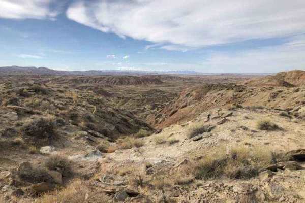
Gilmore Hill
This route passes through the McCullough Peaks Wild Horse range following BLM roads. The Southern section is Gravel road. The Northern section is a maintained dirt road. Regulations require staying 300 feet away from horses and there are signs to remind you. There are beautiful badlands on the N...
Learn more about Gilmore Hill
Sheep Mountain
This is a longer drawn out trail that starts out in Devils Canyon and takes you all the way to Montana. The first section of the trail is a gradual climb on gravel, but after that it narrows down to a little over a single vehicle wide and very rocky. As you approach the border it is a long winding d...
Learn more about Sheep Mountain
ATV trails in Wyoming
Explore ATV-friendly trails in Wyoming. These trails are accessible for vehicles up to 50 inches wide, perfect for ATVs and smaller off-road machines.
Eagle Rock
This Forest Service backroad cuts through the Medicine Bow National Forest, just north of HWY 210 and the unique Pole Mountain and Vedauwoo areas. This route offers single-lane country roads and provides access to lots of dispersed camping. There are several side tracks that can be driven to hone yo...
Learn more about Eagle Rock
Jackass Loop Trail (FS 264)
Jackass Loop is a well-maintained two-way dirt road that crosses the Idaho-Wyoming state boundary in the Targhee National Forest. Running parallel to the Ashton-Flagg Ranch Road, the trail weaves through dense birch and pine trees that frequently give way to sprawling meadows and breath-taking views...
Learn more about Jackass Loop Trail (FS 264)
Hole In the Wall Overlook
This 40-mile trail starts in Kaycee, Wyoming, right off of I-25, and takes you to the canyon rim overlooking the Hole in the Wall Valley and Hole in the Wall Pass. You can stage in Kaycee and take Old Highway 87 south on the pavement to the underpass, which goes under I-25. From there, this track st...
Learn more about Hole In the Wall Overlook
Dugway
This route is a steep scenic climb from the foothills of the Bighorn Mountains to near the top of Hunt Mountain which sits 10,000 feet above sea level. At various points on the road, you can see across the Bighorn Basin as you pass through forested areas. As you near the top, you get above the tre...
Learn more about Dugway
UTV/side-by-side trails in Wyoming
Find UTV and side-by-side trails in Wyoming. These trails accommodate vehicles up to 60 inches wide, ideal for UTVs, side-by-sides, and wider off-road rigs.
Eagle Rock
This Forest Service backroad cuts through the Medicine Bow National Forest, just north of HWY 210 and the unique Pole Mountain and Vedauwoo areas. This route offers single-lane country roads and provides access to lots of dispersed camping. There are several side tracks that can be driven to hone yo...
Learn more about Eagle Rock
Jackass Loop Trail (FS 264)
Jackass Loop is a well-maintained two-way dirt road that crosses the Idaho-Wyoming state boundary in the Targhee National Forest. Running parallel to the Ashton-Flagg Ranch Road, the trail weaves through dense birch and pine trees that frequently give way to sprawling meadows and breath-taking views...
Learn more about Jackass Loop Trail (FS 264)
Hole In the Wall Overlook
This 40-mile trail starts in Kaycee, Wyoming, right off of I-25, and takes you to the canyon rim overlooking the Hole in the Wall Valley and Hole in the Wall Pass. You can stage in Kaycee and take Old Highway 87 south on the pavement to the underpass, which goes under I-25. From there, this track st...
Learn more about Hole In the Wall Overlook
Dugway
This route is a steep scenic climb from the foothills of the Bighorn Mountains to near the top of Hunt Mountain which sits 10,000 feet above sea level. At various points on the road, you can see across the Bighorn Basin as you pass through forested areas. As you near the top, you get above the tre...
Learn more about Dugway
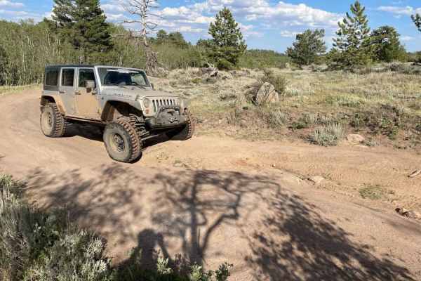
The onX Offroad Difference
onX Offroad combines trail photos, descriptions, difficulty ratings, width restrictions, seasonality, and more in a user-friendly interface. Available on all devices, with offline access and full compatibility with CarPlay and Android Auto. Discover what you're missing today!
Open Trail Map