Adobe Town Basin
Total Miles
12.0
Technical Rating
Best Time
Spring, Summer, Fall
Trail Type
Full-Width Road
Accessible By
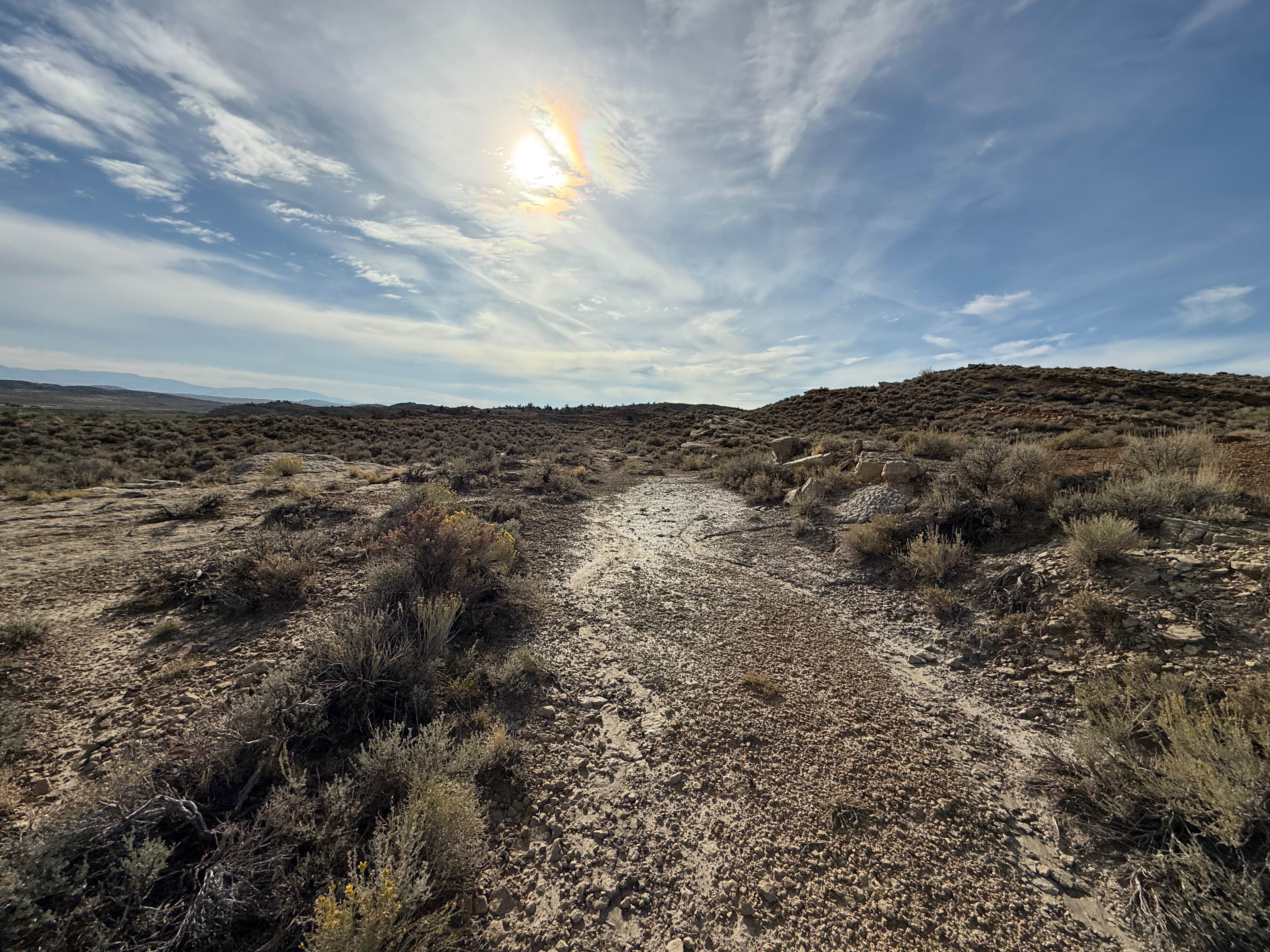
Trail Overview
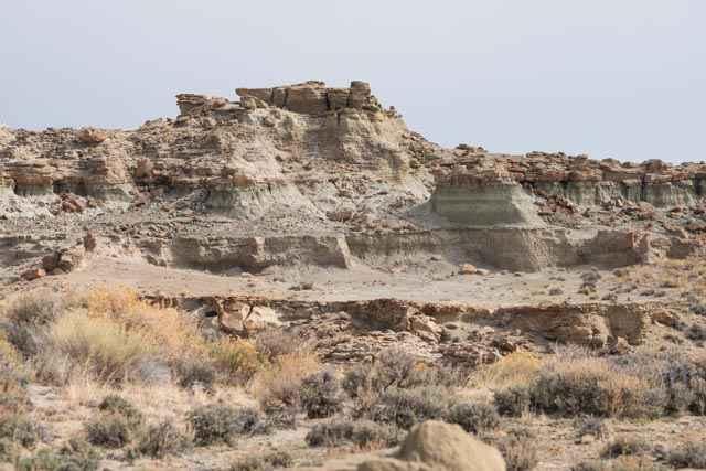
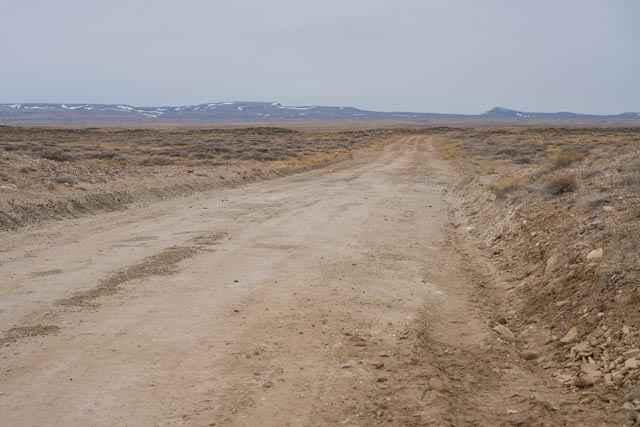
The trail (BLM 4412) starts as a flat dirt road departing County Road 19 before arriving at the Adobe Town rim and descending into the basin below. The rim provides a great overview of the rock formations while descending into the basin allows for up-close exploration of the varied rock formations and badlands. The trail travels to the east end of rock formations known as Monument Valley in the center of the basin. Wild horses are also frequently seen as the area is also a BLM horse management area. Motorized travel is only allowed on the designated trail, as the remainder of the area is a Wilderness Study Area that can be explored on foot.
Photos of Adobe Town Basin
Difficulty
The trail is a mix of sand and dirt with occasional washes. Sections would likely be impassable when wet and for a few days afterwards. The washes can increase in size and challenges based on precipitation. Some terrain is also off-camber with ledges, erosion, and deep washes when descending into the basin. There are also a few sections of the trail where 6-12-inch+ washes cut across the trail.
Status Reports
Adobe Town Basin can be accessed by the following ride types:
- High-Clearance 4x4
- SUV
- SxS (60")
- ATV (50")
- Dirt Bike
Adobe Town Basin Map
Popular Trails
Shadow Mountain
Antelope Valley
North Piney Lake
The onX Offroad Difference
onX Offroad combines trail photos, descriptions, difficulty ratings, width restrictions, seasonality, and more in a user-friendly interface. Available on all devices, with offline access and full compatibility with CarPlay and Android Auto. Discover what you’re missing today!