North Piney Lake
Total Miles
4.8
Technical Rating
Best Time
Summer, Fall
Trail Type
50" Trail
Accessible By
Trail Overview
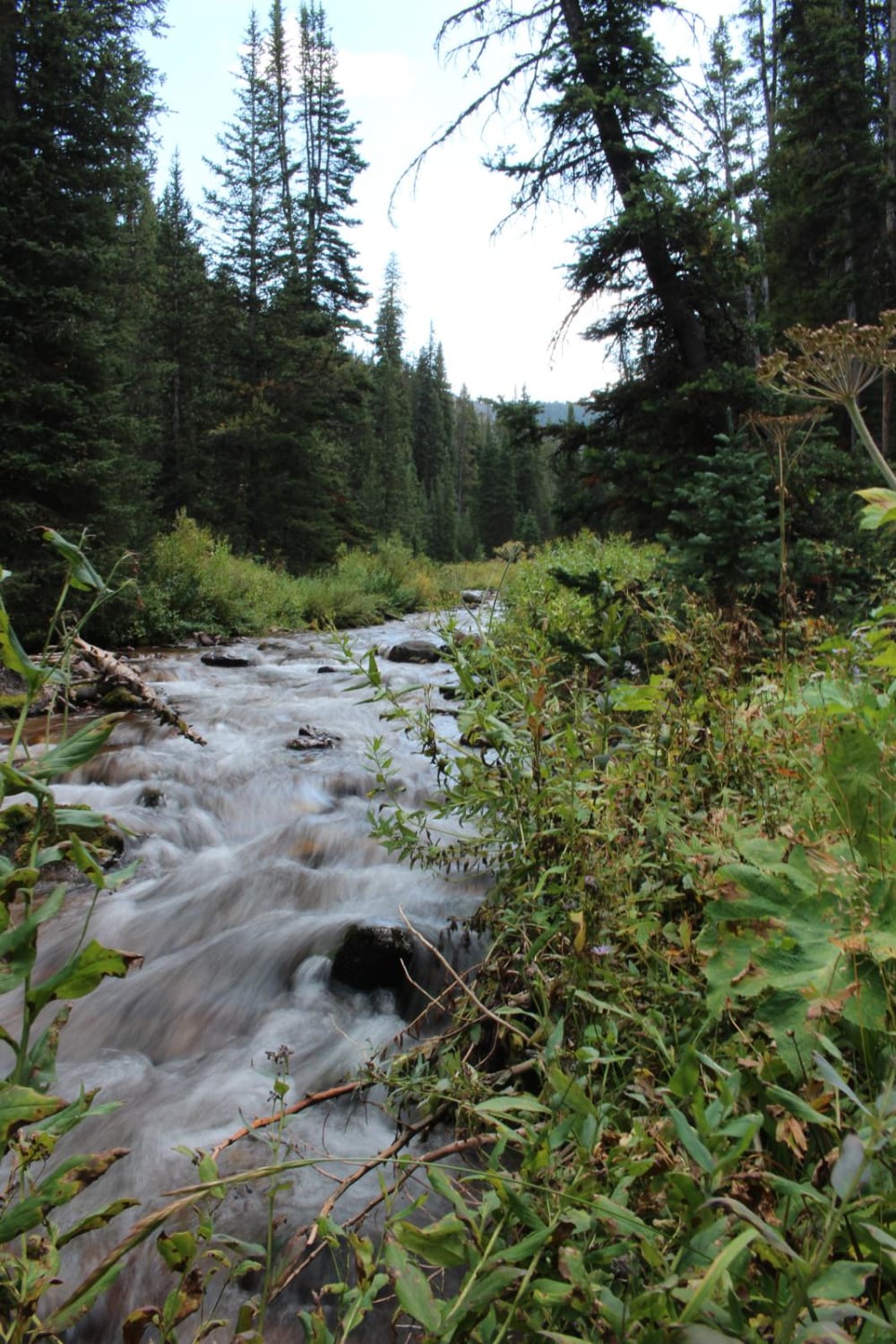
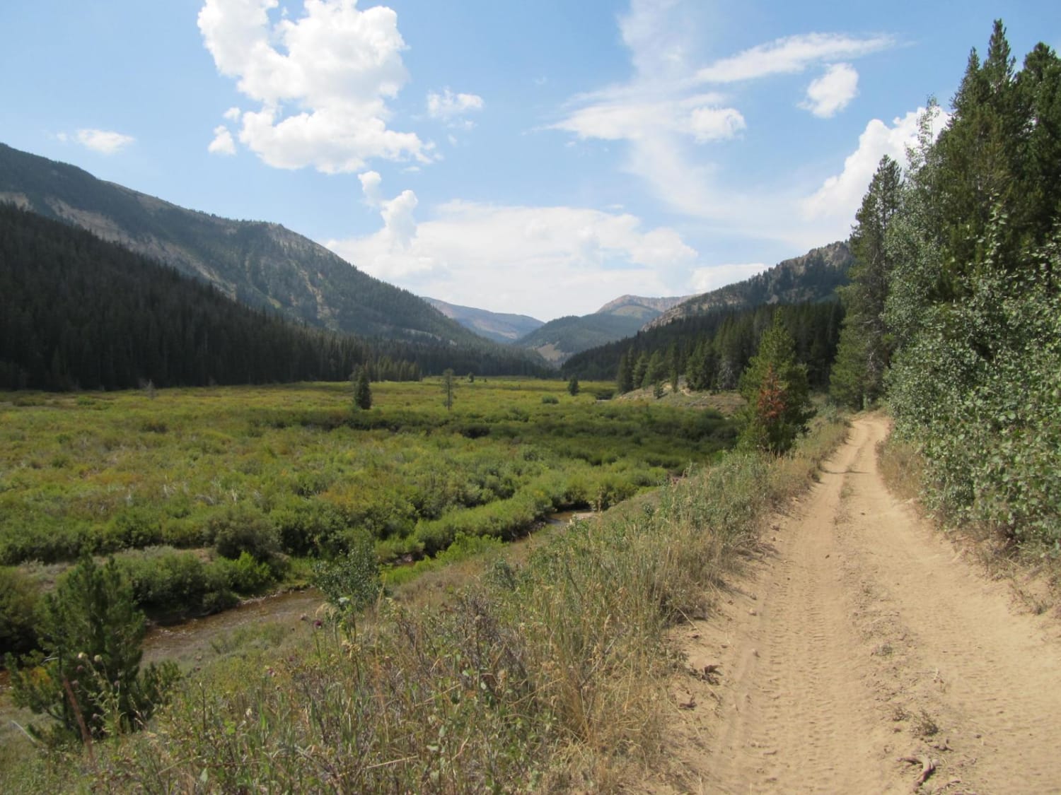
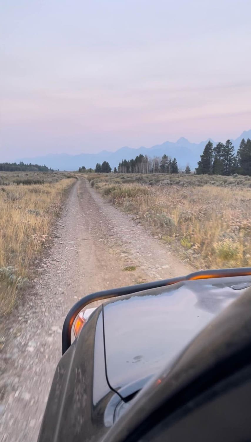
This ATV route follows the North Piney Trail through a gorgeous willow-lined valley and then uses the Lake Creek Trail to reach North Piney Lake, a mountain-enveloped lake in the Wyoming Range. Combined, these two trails offer 9 miles of riding, but the lake is reached in half that distance. The first half of the route parallels North Piney Creek, undercuts a 550-foot scree slope, and passes through a gate before reaching a junction at 2. 5 miles. At the fork, FT 2059 (North Piney Trail) continues uphill through the valley for another 5 miles to North Piney Creek Meadows. Taking FT 2060 (Lake Creek Trail), you'll reach a ford of Lake Creek and then follow a rougher, steeper path to reach North Piney Lake at 4.5 miles. The route continues around the southern shoreline to reach a hiking trailhead. All vehicles must be highway legal
Photos of North Piney Lake
Difficulty
Much of the route is easy, but there are very narrow places where passing can be difficult and a few tight turns that block the view of oncoming traffic. There are also soft edges on the trail, a gate that needs to be opened and closed, and a stream crossing that is typically easy on the established route over the creekbed. There is a potential for rock fall or larger rocks through a short scree section.
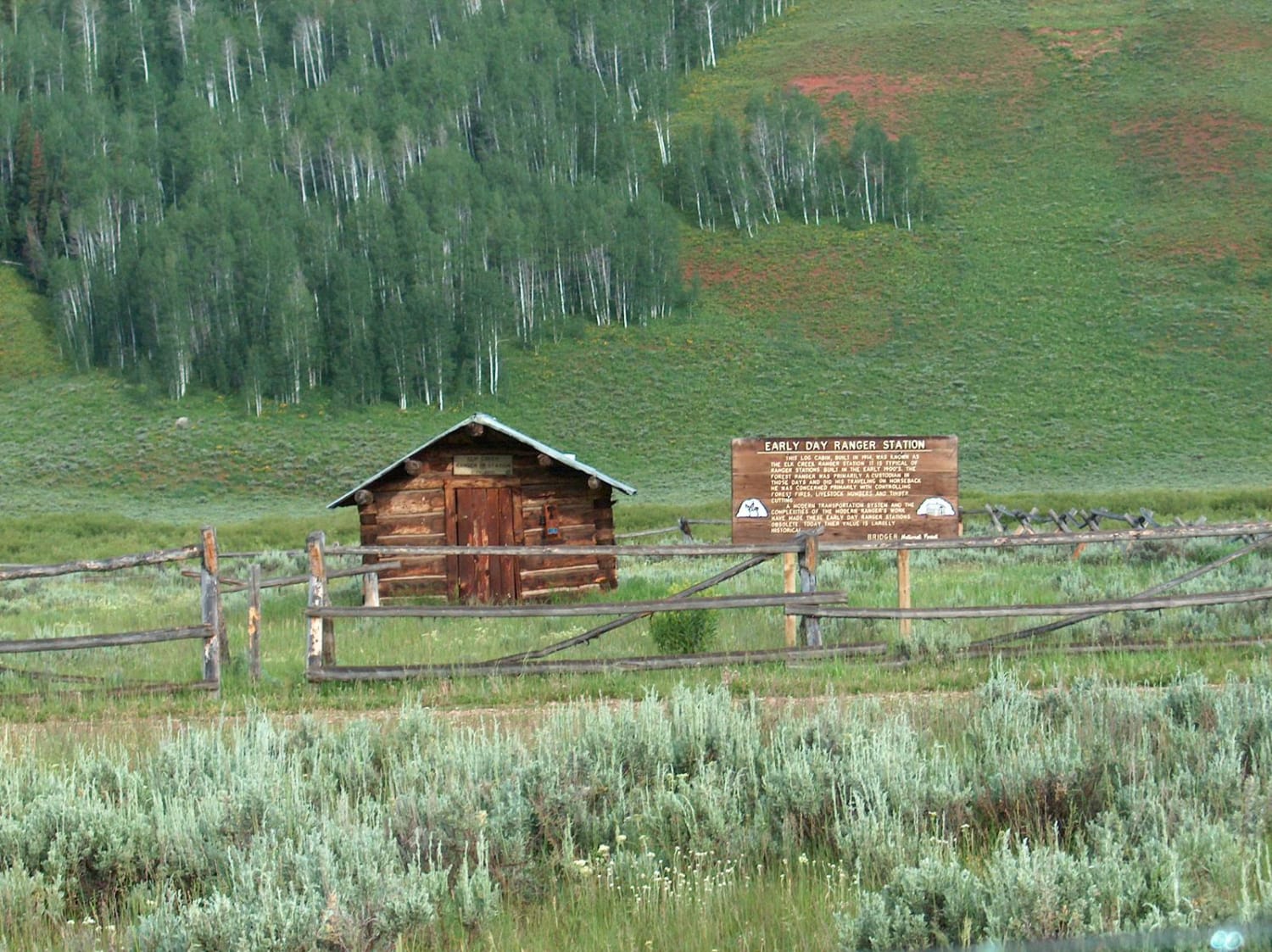
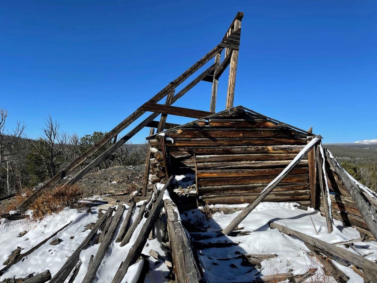
History
The Wyoming Range is a sedimentary chain that measures only 10 miles wide in many places, but stretches north to south for nearly 100 miles and rises to a height of 11,378 feet at Wyoming Peak. Moose, black bear, and elk are common here and the range has historically produced trophy mule deer. While lynx prowl the forests and bighorn sheep roam the higher summits, grizzly bears are also occasionally found in the area.
Status Reports
North Piney Lake can be accessed by the following ride types:
- ATV (50")
- Dirt Bike
North Piney Lake Map
Popular Trails

West Fork Smiths Fork Upper Trail
Big Spring Scenic Backway
USFS Road 307 - Centennial Ridge
Shadow Mountain
The onX Offroad Difference
onX Offroad combines trail photos, descriptions, difficulty ratings, width restrictions, seasonality, and more in a user-friendly interface. Available on all devices, with offline access and full compatibility with CarPlay and Android Auto. Discover what you’re missing today!