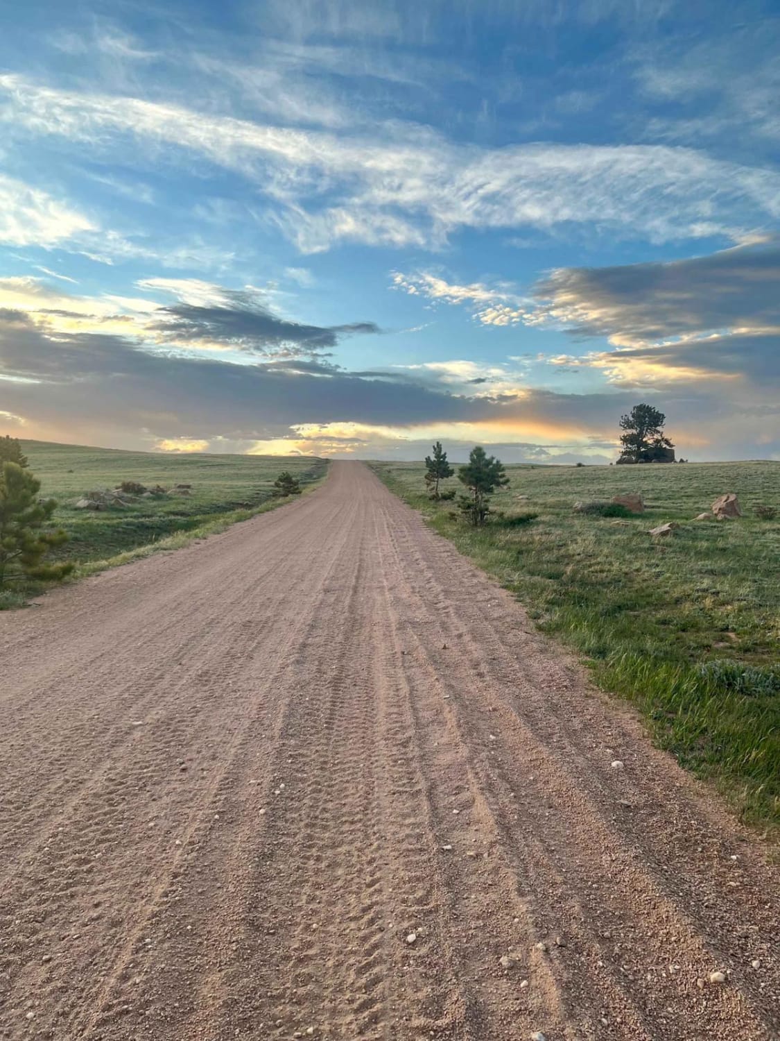
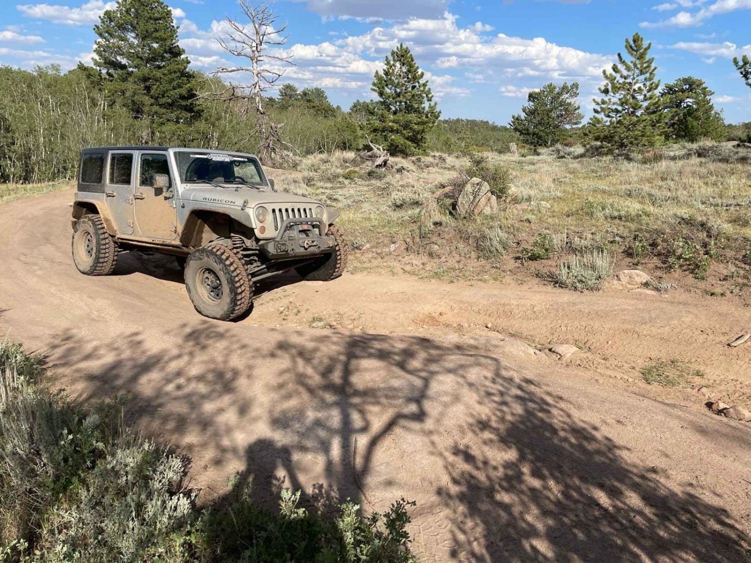
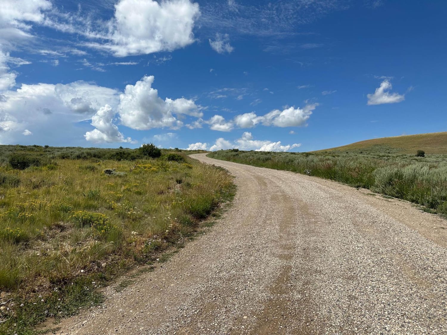
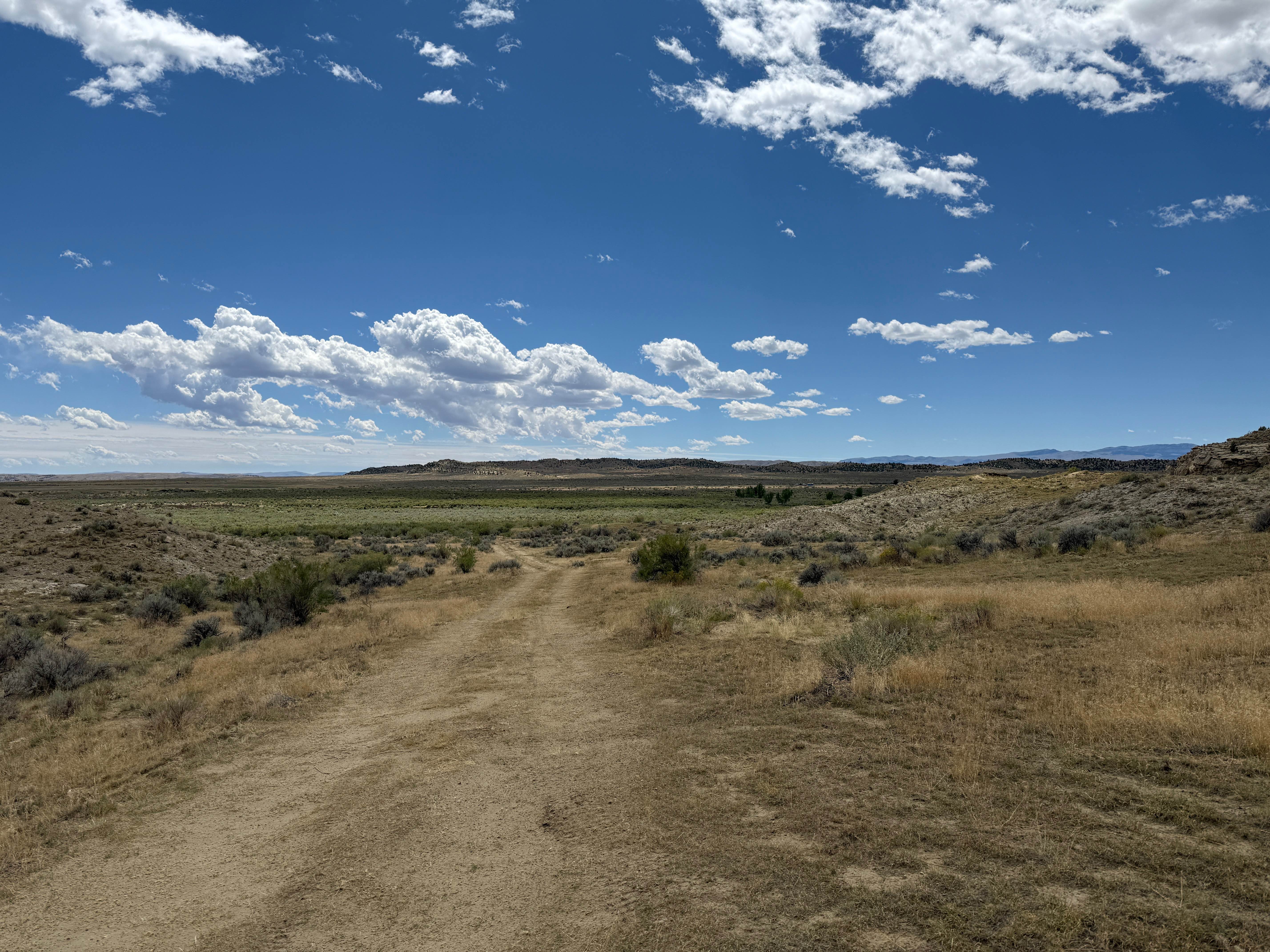
Off-Road Trails in Wyoming
Discover off-road trails in Wyoming
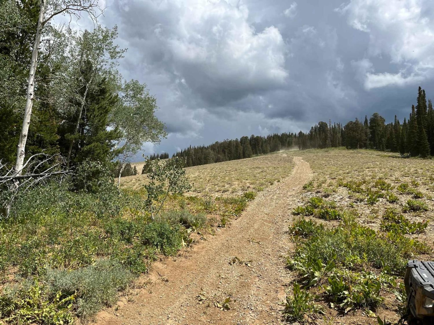
Learn more about Carter Mountain Access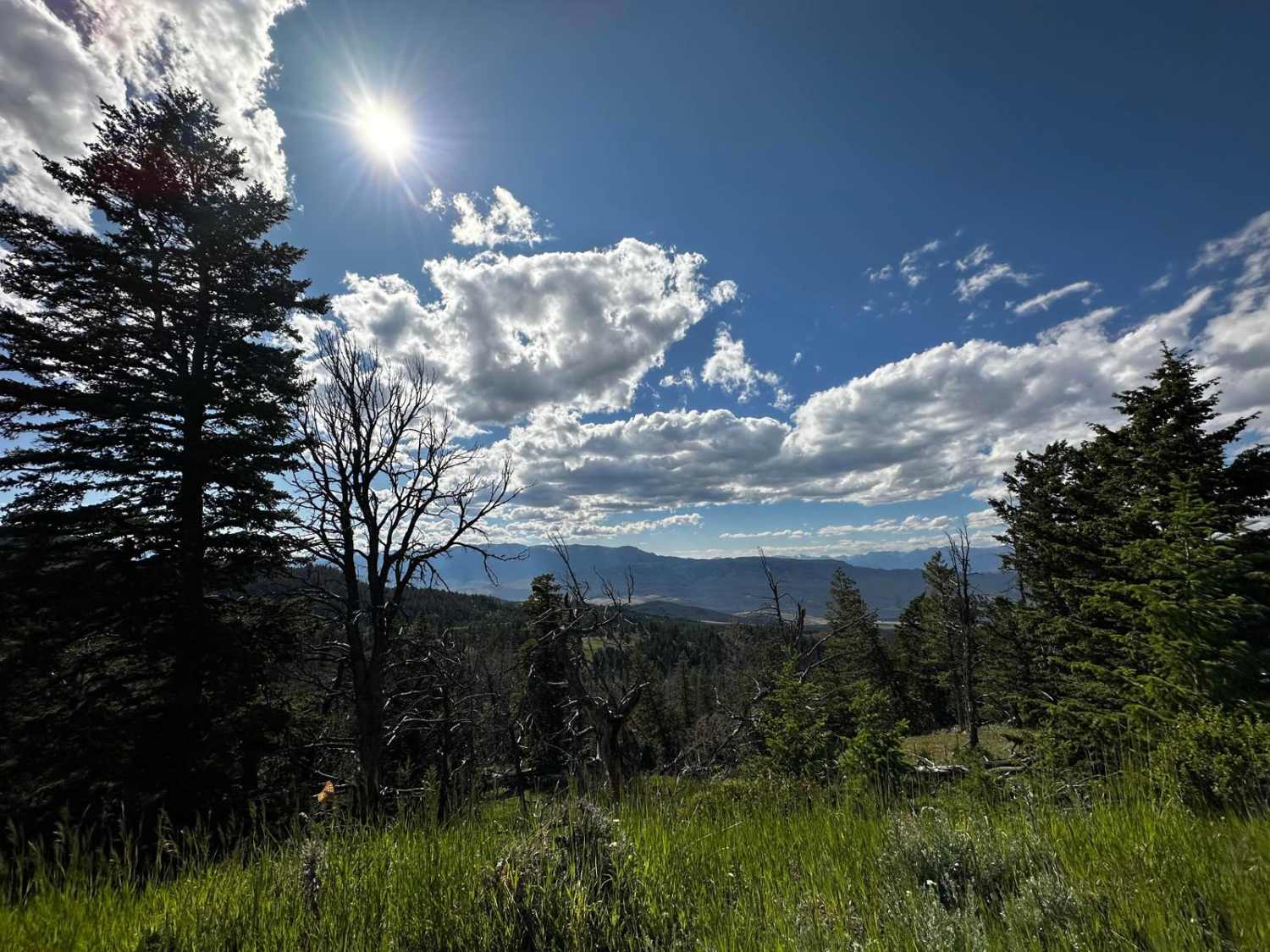
Carter Mountain Access
Total Miles
11.0
Tech Rating
Easy
Best Time
Summer, Fall
Learn more about Cascade North Twin
Cascade North Twin
Total Miles
7.2
Tech Rating
Moderate
Best Time
Summer, Fall

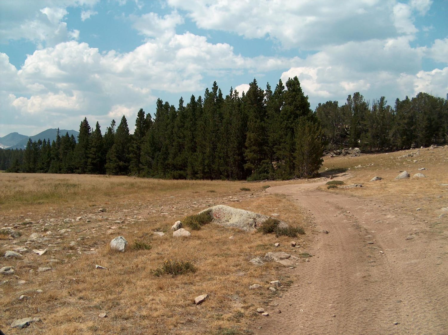
Learn more about Cattleman Bridge Road
Cattleman Bridge Road
Total Miles
1.0
Tech Rating
Easy
Best Time
Summer, Fall, Spring
Learn more about Christmas Tree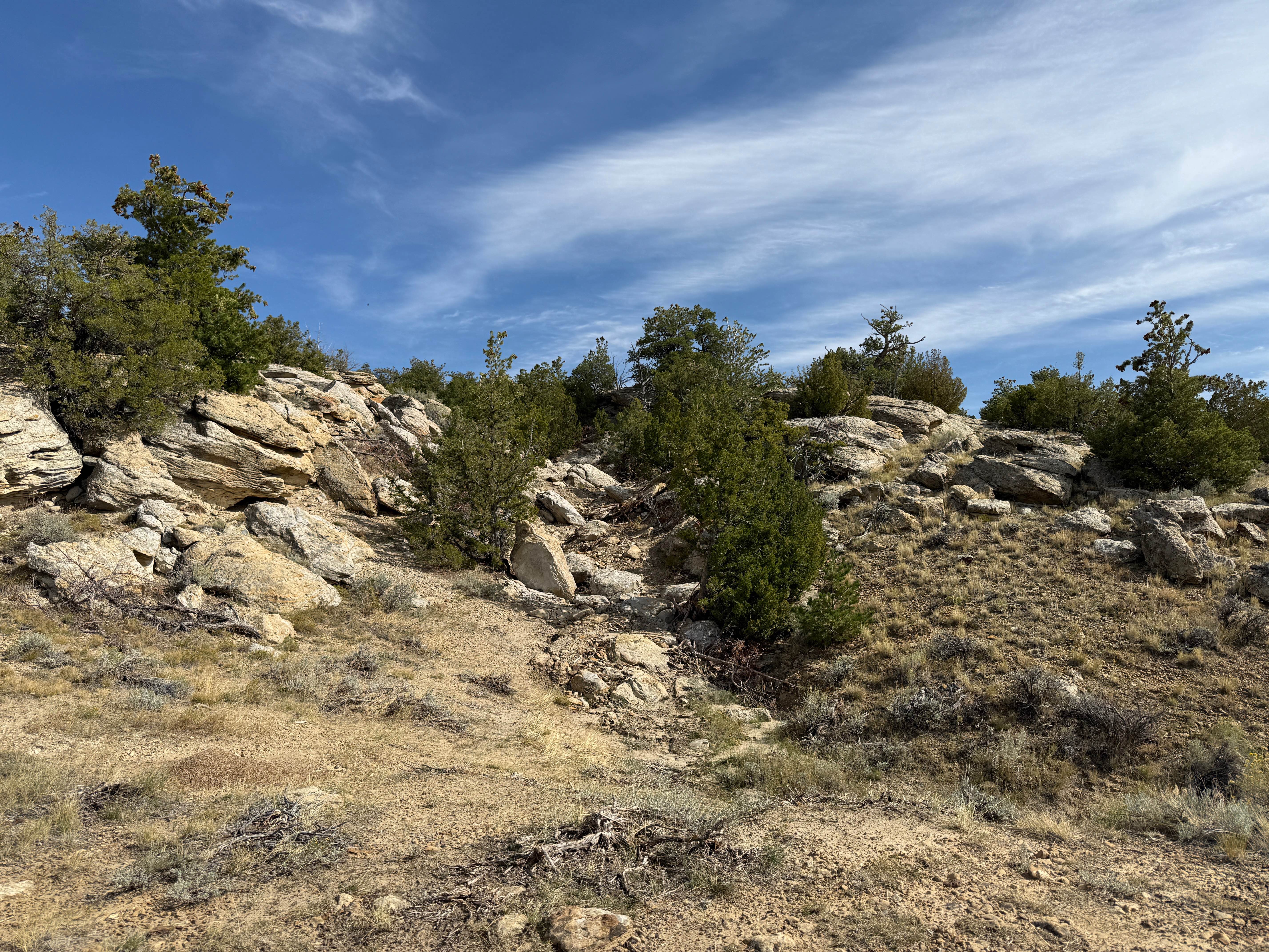
Christmas Tree
Total Miles
0.2
Tech Rating
Difficult
Best Time
Summer, Fall
Learn more about Clarks Fork Canyon
Clarks Fork Canyon
Total Miles
4.4
Tech Rating
Easy
Best Time
Summer, Fall
Learn more about Clay Butte Lookout Tower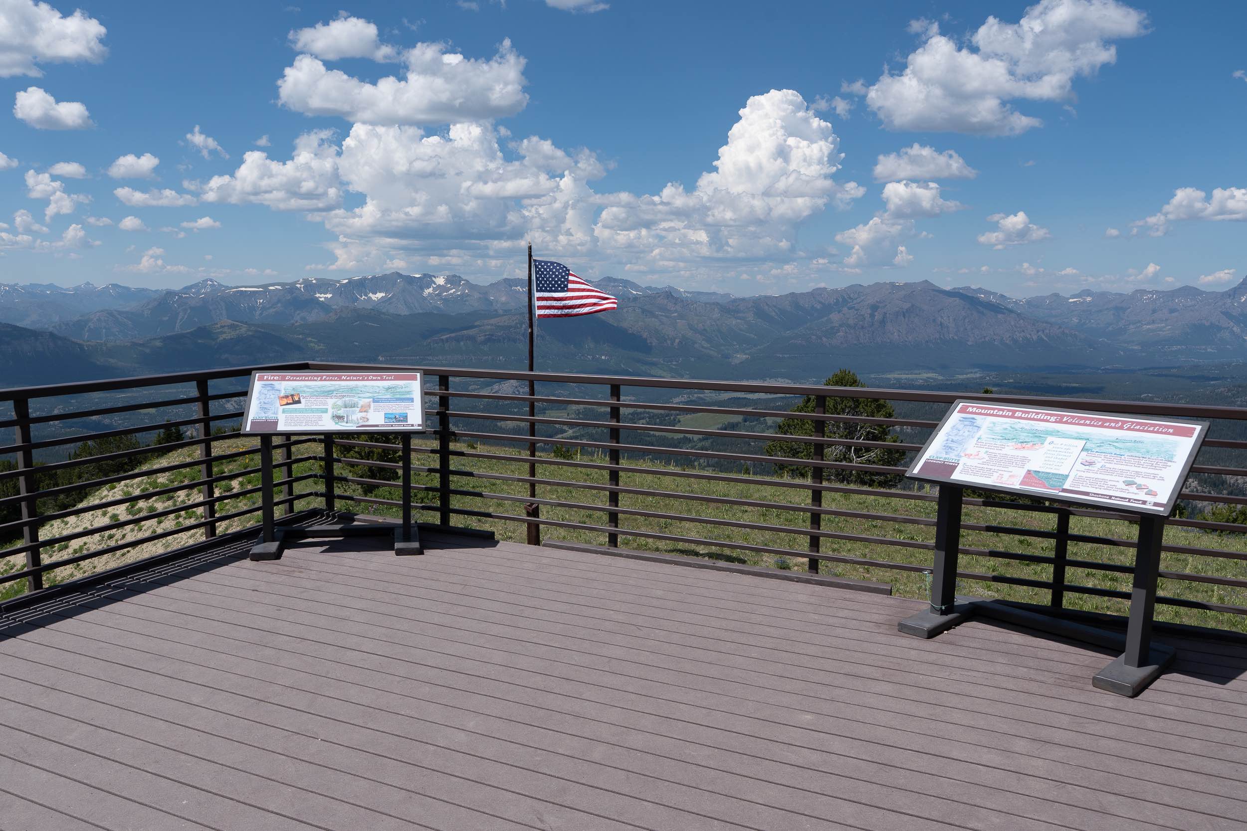
Clay Butte Lookout Tower
Total Miles
2.6
Tech Rating
Easy
Best Time
Spring, Summer, Fall
Learn more about Cliff Creek - 30530
Cliff Creek - 30530
Total Miles
6.9
Tech Rating
Easy
Best Time
Spring, Summer, Fall, Winter
Learn more about Copmans Tomb - Grouse Creek (Trails 216 & 219)
Copmans Tomb - Grouse Creek (Trails 216 & 219)
Total Miles
5.2
Tech Rating
Easy
Best Time
Spring, Summer, Fall

Learn more about Crazy Woman Canyon Road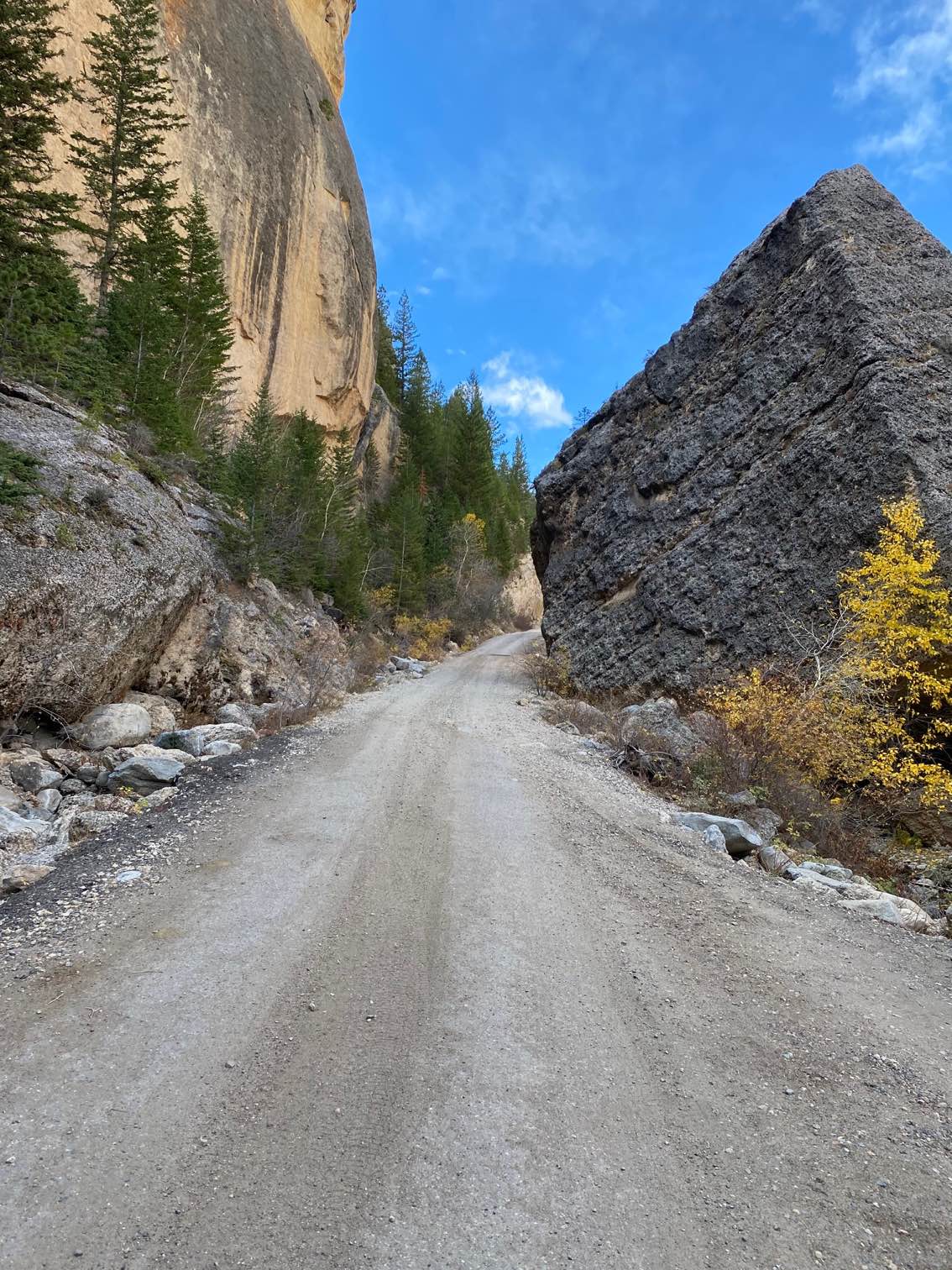
Crazy Woman Canyon Road
Total Miles
4.8
Tech Rating
Easy
Best Time
Fall, Summer, Spring
ATV trails in Wyoming
Learn more about 554 Wildcat and 528 Geyser Creek
554 Wildcat and 528 Geyser Creek
Total Miles
13.9
Tech Rating
Easy
Best Time
Spring, Summer, Fall, Winter
Learn more about 57 Route - Willow Creek
57 Route - Willow Creek
Total Miles
5.6
Tech Rating
Easy
Best Time
Summer, Spring, Fall
UTV/side-by-side trails in Wyoming
Learn more about 554 Wildcat and 528 Geyser Creek
554 Wildcat and 528 Geyser Creek
Total Miles
13.9
Tech Rating
Easy
Best Time
Spring, Summer, Fall, Winter
Learn more about 57 Route - Willow Creek
57 Route - Willow Creek
Total Miles
5.6
Tech Rating
Easy
Best Time
Summer, Spring, Fall
The onX Offroad Difference
onX Offroad combines trail photos, descriptions, difficulty ratings, width restrictions, seasonality, and more in a user-friendly interface. Available on all devices, with offline access and full compatibility with CarPlay and Android Auto. Discover what you’re missing today!