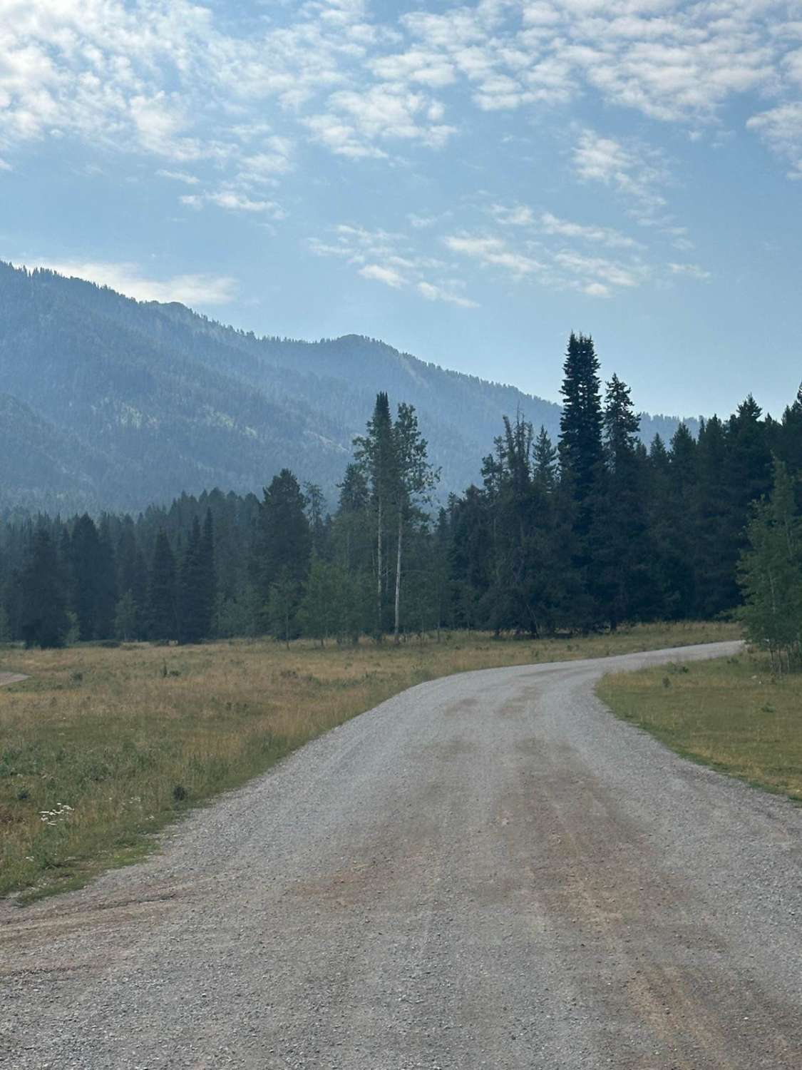
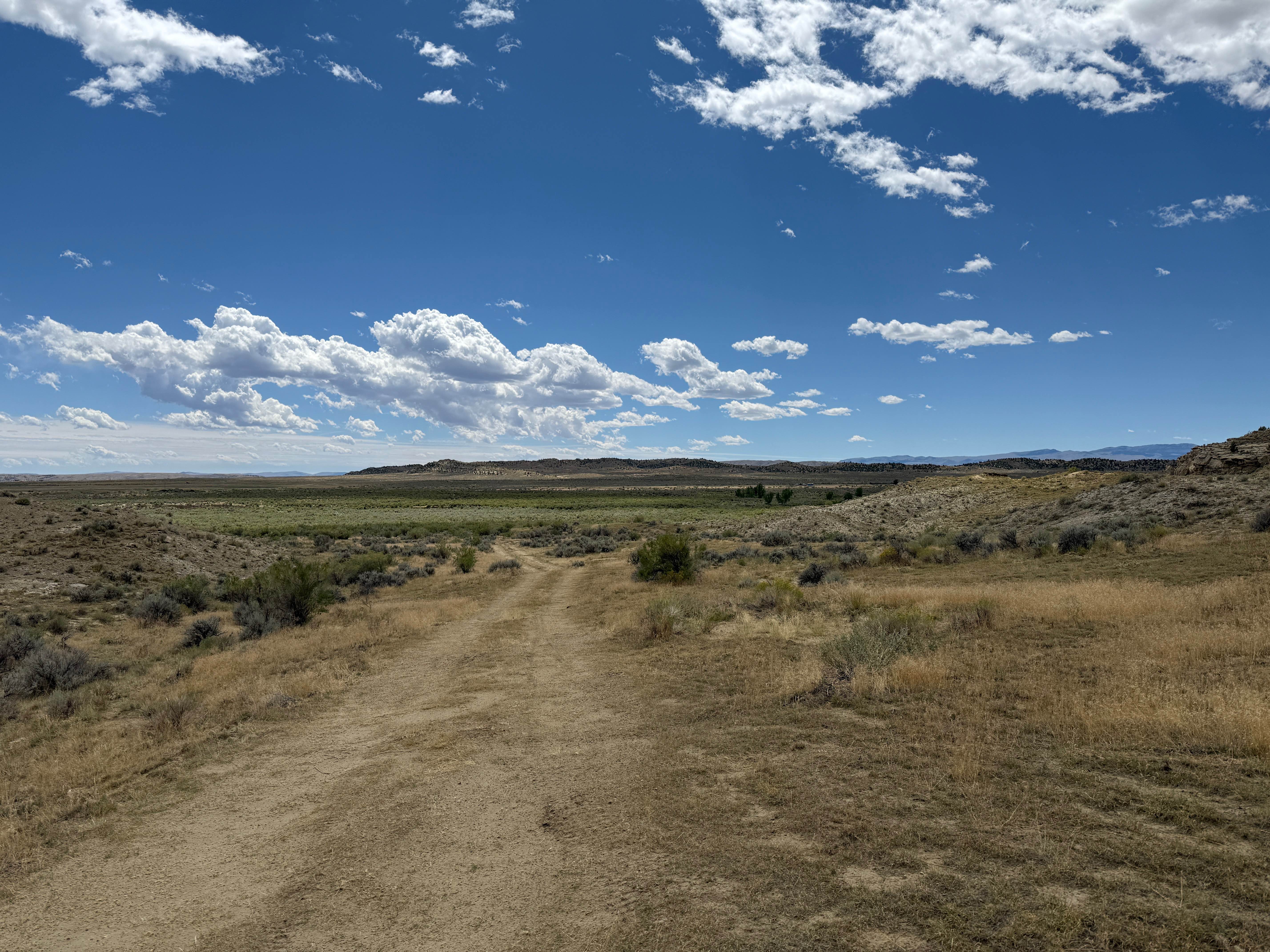
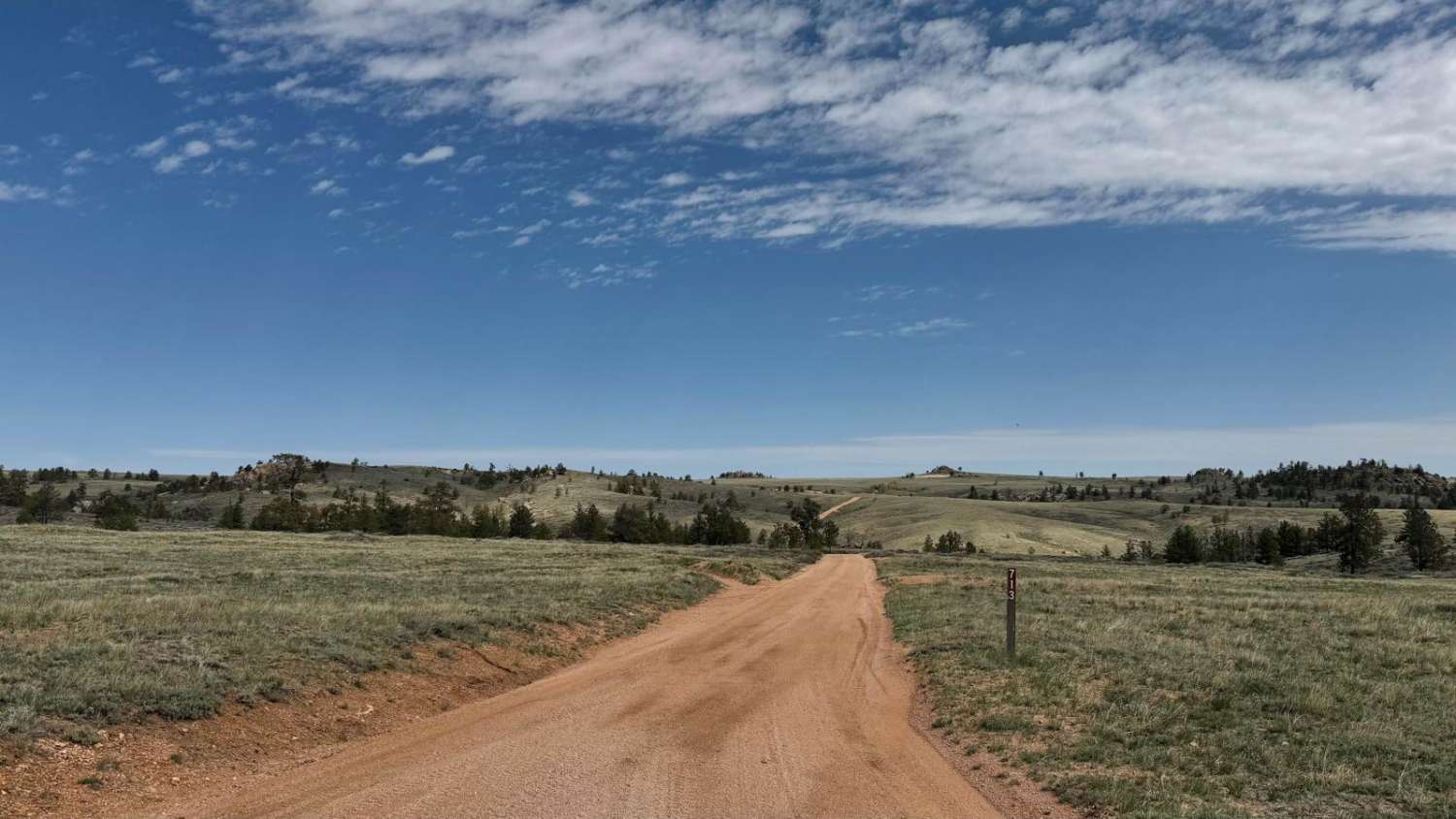
Off-Road Trails in Wyoming
Discover off-road trails in Wyoming
Learn more about Fred Pooped Here
Fred Pooped Here
Total Miles
0.2
Tech Rating
Extreme
Best Time
Summer, Fall

Learn more about FS516 to Platte Ridge
FS516 to Platte Ridge
Total Miles
6.7
Tech Rating
Easy
Best Time
Spring, Summer, Fall
Learn more about Garden of the Gods
Garden of the Gods
Total Miles
2.9
Tech Rating
Easy
Best Time
Spring, Summer, Fall, Winter

Learn more about Gilmore Hill
Gilmore Hill
Total Miles
16.7
Tech Rating
Easy
Best Time
Fall, Summer, Spring

Learn more about Granite Creek
Granite Creek
Total Miles
8.8
Tech Rating
Easy
Best Time
Spring, Summer, Fall, Winter
Learn more about Granite Lake Trail 
Granite Lake Trail
Total Miles
0.4
Tech Rating
Difficult
Best Time
Summer, Fall
Learn more about Greys River Road
Greys River Road
Total Miles
75.9
Tech Rating
Easy
Best Time
Spring, Summer, Fall
Learn more about Grind up Pinon Pass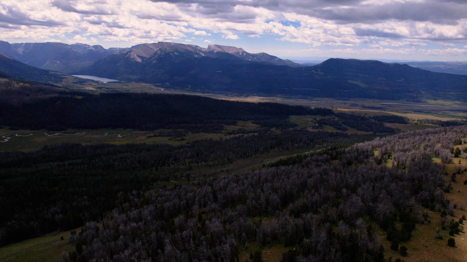
Grind up Pinon Pass
Total Miles
13.9
Tech Rating
Moderate
Best Time
Summer, Fall
Learn more about Grouse Creek (FSR 205)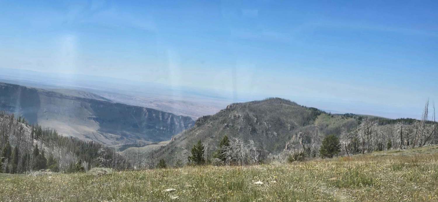
Grouse Creek (FSR 205)
Total Miles
3.0
Tech Rating
Easy
Best Time
Spring, Summer, Fall
Learn more about Grouse Creek Overlook Spur
Grouse Creek Overlook Spur
Total Miles
1.7
Tech Rating
Easy
Best Time
Spring, Summer, Fall
Learn more about Hanging Bridge Trail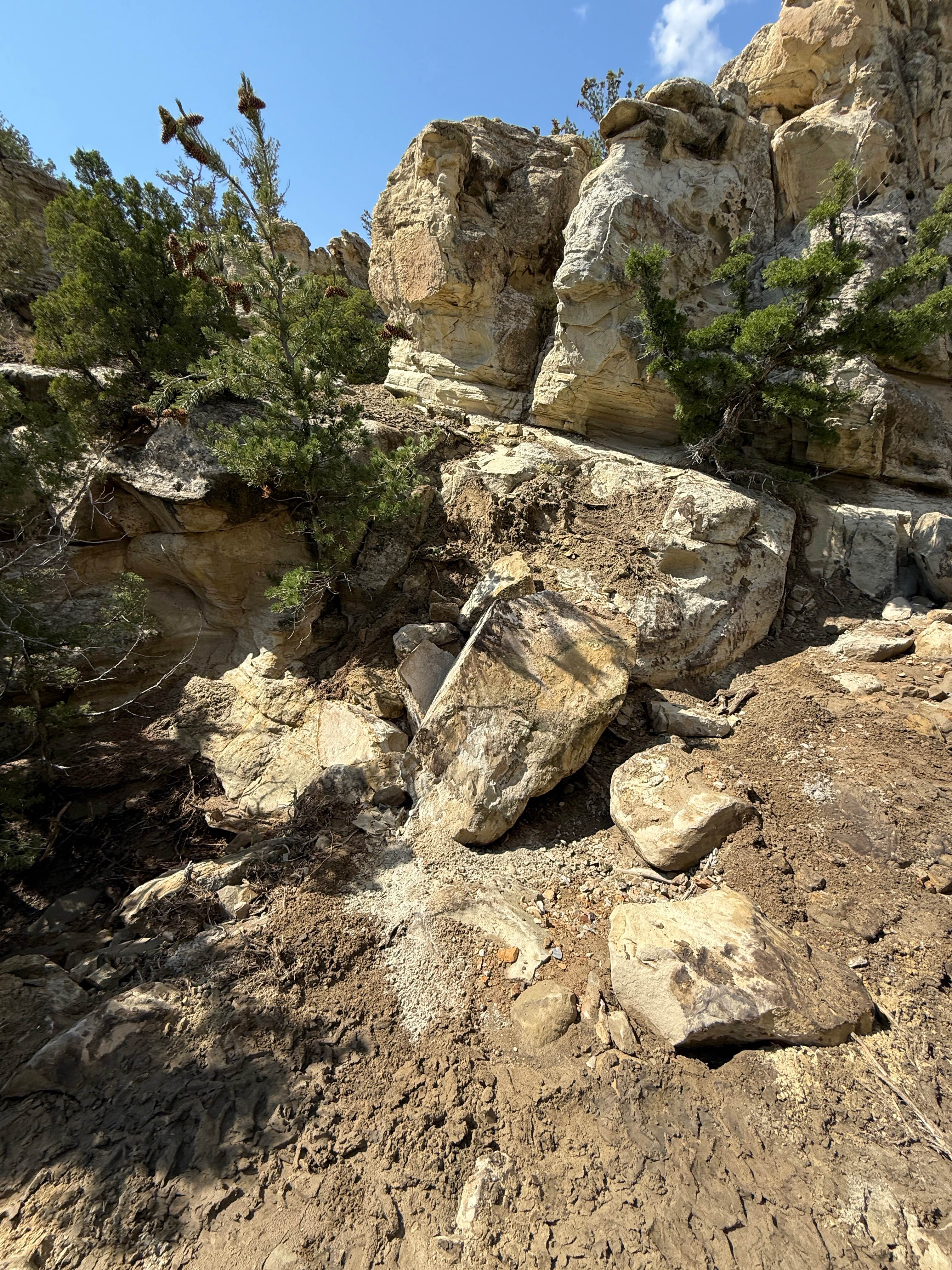
Hanging Bridge Trail
Total Miles
0.2
Tech Rating
Extreme
Best Time
Summer, Fall
ATV trails in Wyoming
Learn more about 554 Wildcat and 528 Geyser Creek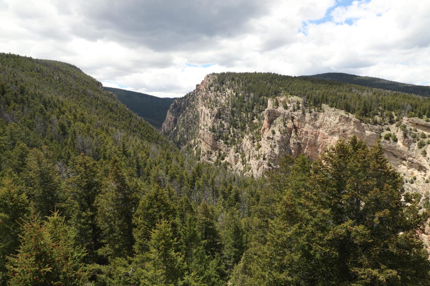
554 Wildcat and 528 Geyser Creek
Total Miles
13.9
Tech Rating
Easy
Best Time
Spring, Summer, Fall, Winter
Learn more about 57 Route - Willow Creek
57 Route - Willow Creek
Total Miles
5.6
Tech Rating
Easy
Best Time
Summer, Spring, Fall
UTV/side-by-side trails in Wyoming
Learn more about 554 Wildcat and 528 Geyser Creek
554 Wildcat and 528 Geyser Creek
Total Miles
13.9
Tech Rating
Easy
Best Time
Spring, Summer, Fall, Winter
Learn more about 57 Route - Willow Creek
57 Route - Willow Creek
Total Miles
5.6
Tech Rating
Easy
Best Time
Summer, Spring, Fall
The onX Offroad Difference
onX Offroad combines trail photos, descriptions, difficulty ratings, width restrictions, seasonality, and more in a user-friendly interface. Available on all devices, with offline access and full compatibility with CarPlay and Android Auto. Discover what you’re missing today!