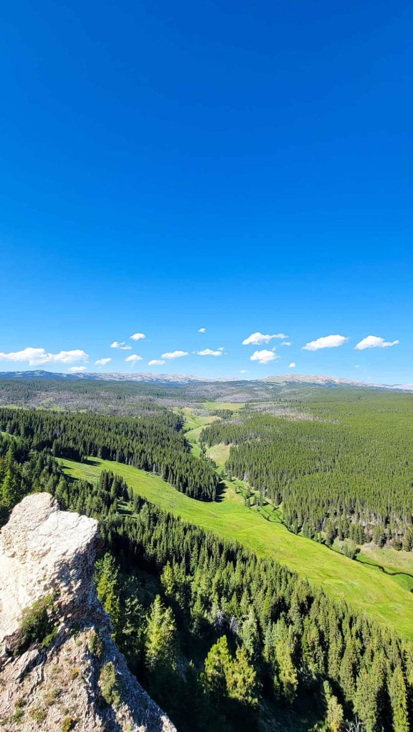
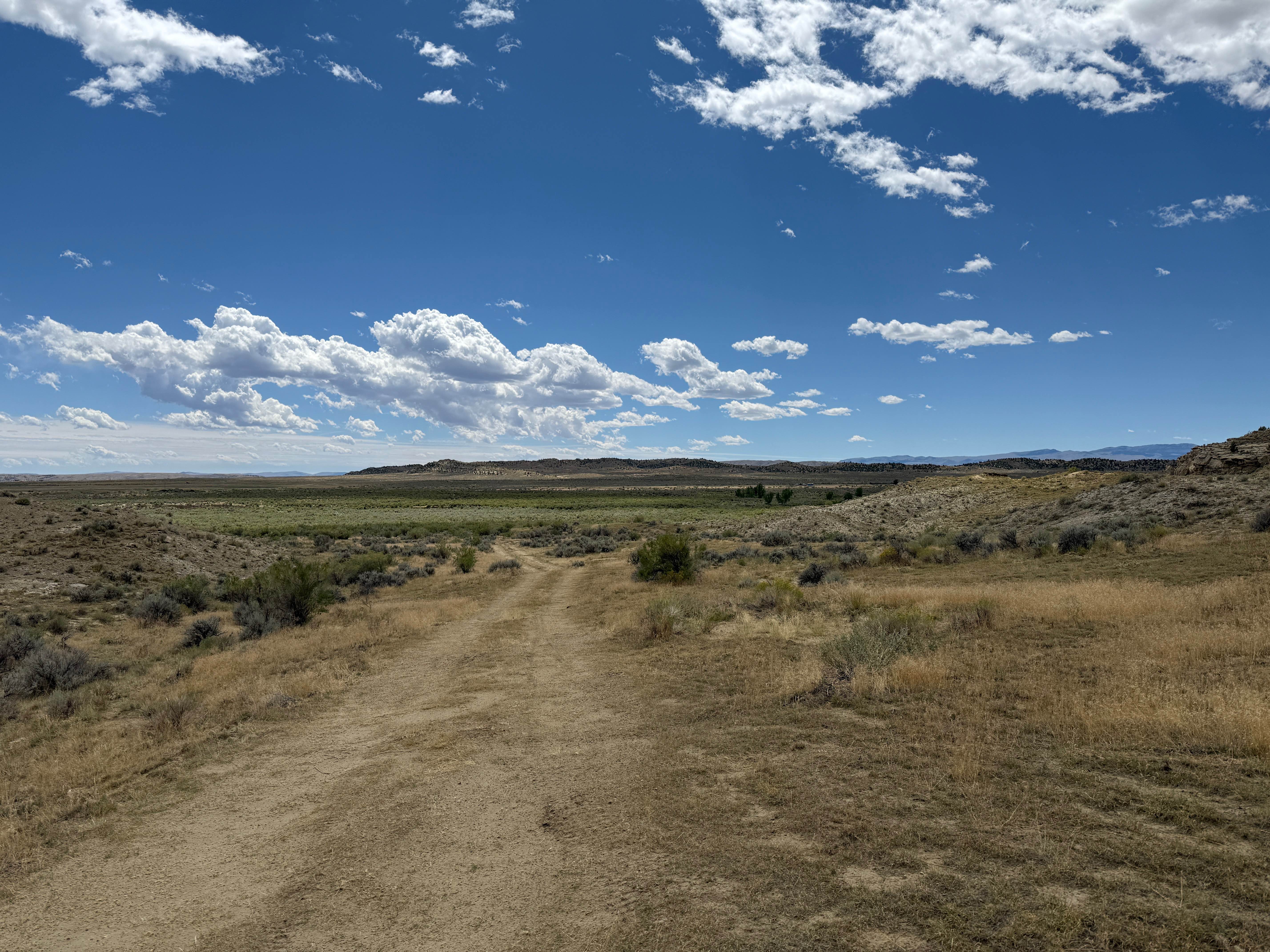
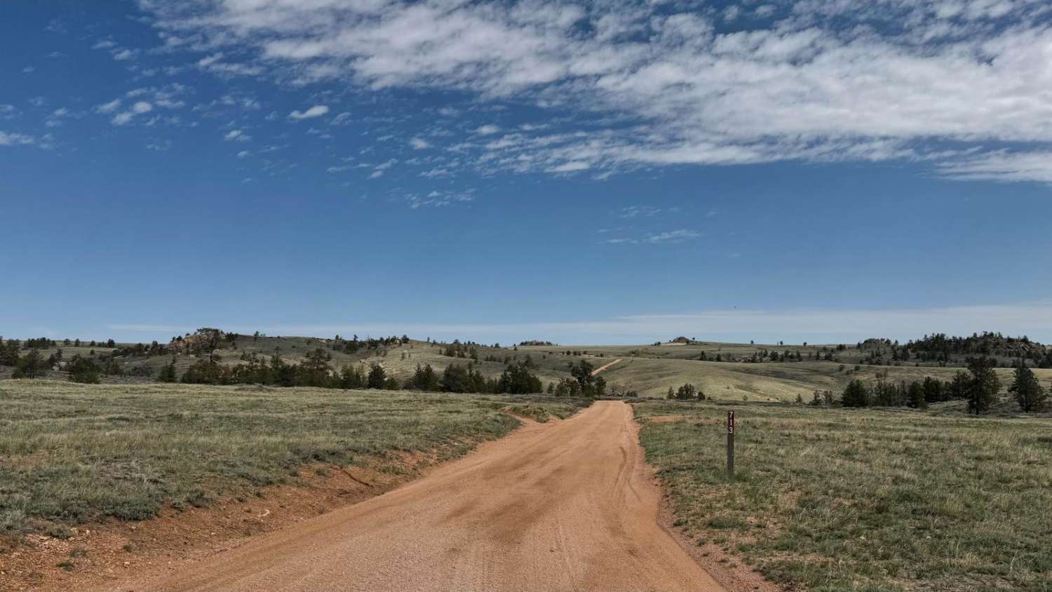
Off-Road Trails in Wyoming
Discover off-road trails in Wyoming
Learn more about Monument Hill Access spur - FS 401.2A
Monument Hill Access spur - FS 401.2A
Total Miles
3.0
Tech Rating
Easy
Best Time
Summer, Fall
Learn more about Monument Ridge
Monument Ridge
Total Miles
12.1
Tech Rating
Easy
Best Time
Spring, Fall, Summer, Winter
Learn more about Mountain Single Track
Mountain Single Track
Total Miles
4.5
Tech Rating
Moderate
Best Time
Summer, Fall
Learn more about Nickel Creek Spur
Nickel Creek Spur
Total Miles
2.3
Tech Rating
Easy
Best Time
Spring, Summer, Fall, Winter
Learn more about Nickle Creek
Nickle Creek
Total Miles
2.1
Tech Rating
Easy
Best Time
Spring, Summer, Fall, Winter
Learn more about North Beaver Loop
North Beaver Loop
Total Miles
3.3
Tech Rating
Easy
Best Time
Spring, Summer, Fall
Learn more about North Red Desert Traverse
North Red Desert Traverse
Total Miles
67.7
Tech Rating
Easy
Best Time
Spring, Summer, Fall
Learn more about North Three Forks
North Three Forks
Total Miles
2.9
Tech Rating
Easy
Best Time
Spring, Fall, Summer
Learn more about Old Palisades 
Old Palisades
Total Miles
0.9
Tech Rating
Easy
Best Time
Spring, Summer, Fall
Learn more about One Mile Trail
One Mile Trail
Total Miles
0.9
Tech Rating
Difficult
Best Time
Summer, Fall
Learn more about Outer Loop Boundary Trail
Outer Loop Boundary Trail
Total Miles
6.4
Tech Rating
Moderate
Best Time
Summer, Fall
Learn more about Outlaw Canyon Rim 
Outlaw Canyon Rim
Total Miles
6.2
Tech Rating
Easy
Best Time
Spring, Summer, Fall
Learn more about Overland Stage Route to Fort La Clede
Overland Stage Route to Fort La Clede
Total Miles
7.7
Tech Rating
Easy
Best Time
Summer, Spring, Fall
Learn more about Pacific Creek Wilderness Road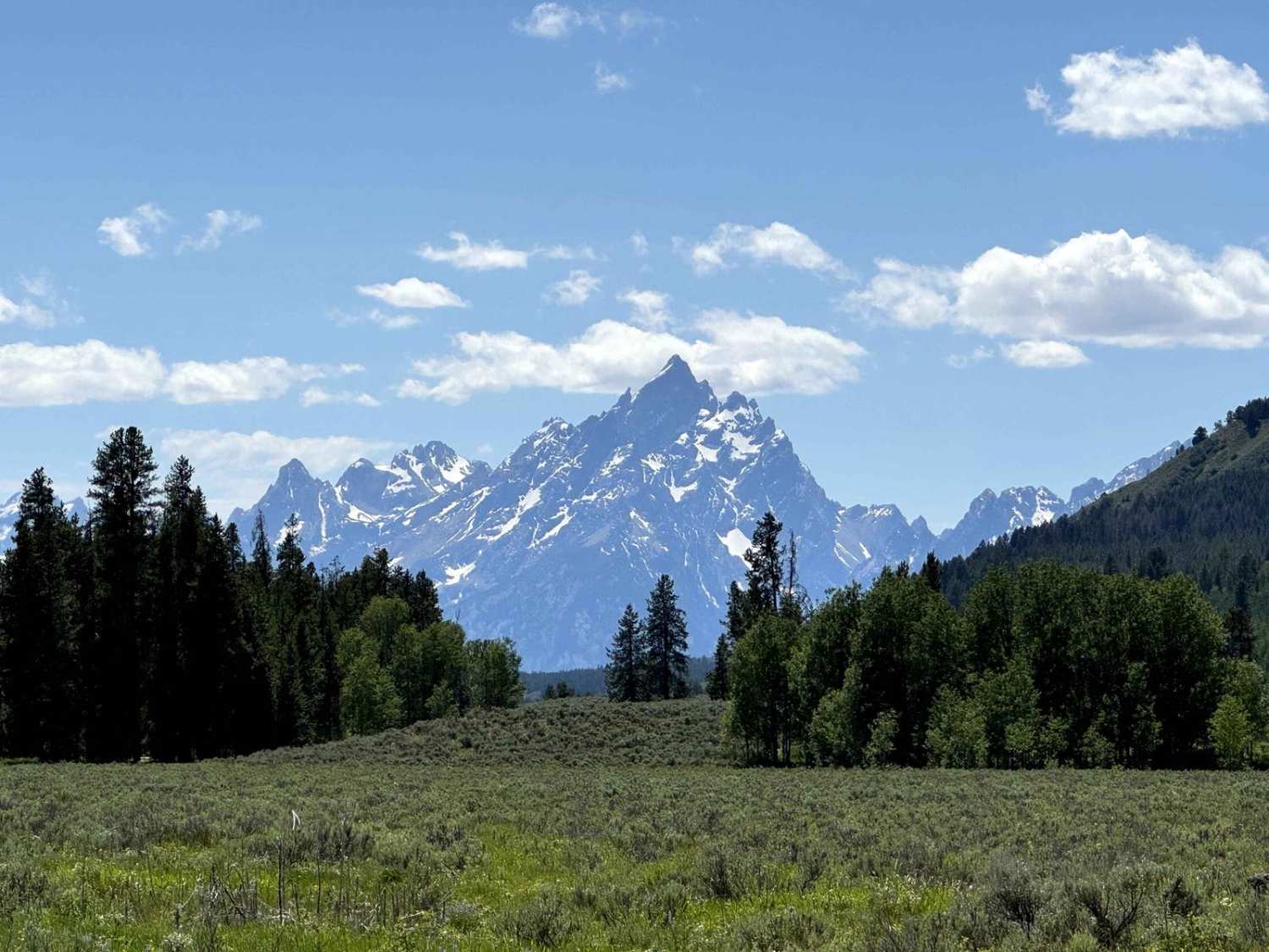
Pacific Creek Wilderness Road
Total Miles
6.1
Tech Rating
Easy
Best Time
Spring, Summer, Fall
Learn more about Paintrock Falls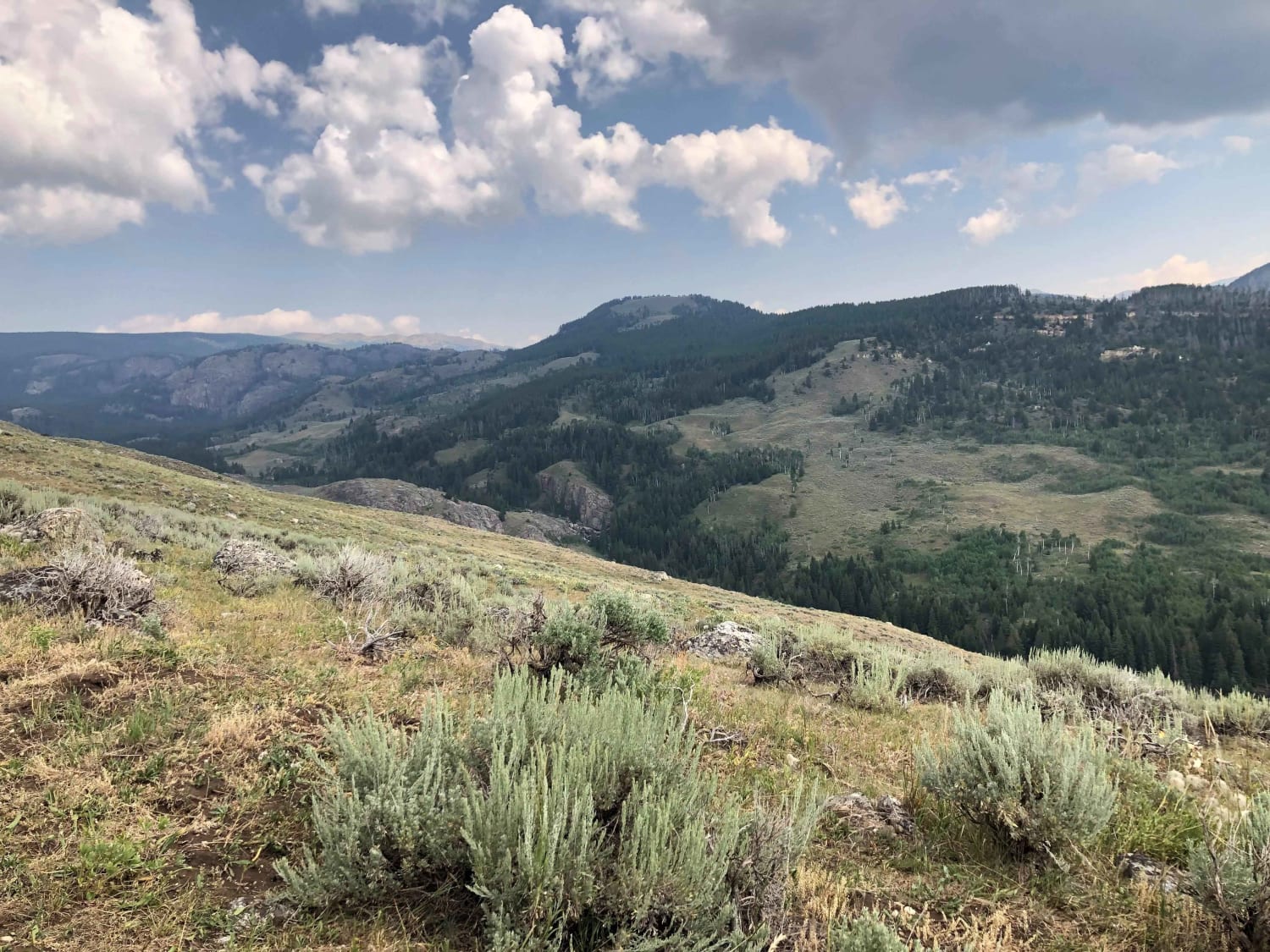
Paintrock Falls
Total Miles
14.8
Tech Rating
Moderate
Best Time
Summer, Fall
ATV trails in Wyoming
Learn more about 554 Wildcat and 528 Geyser Creek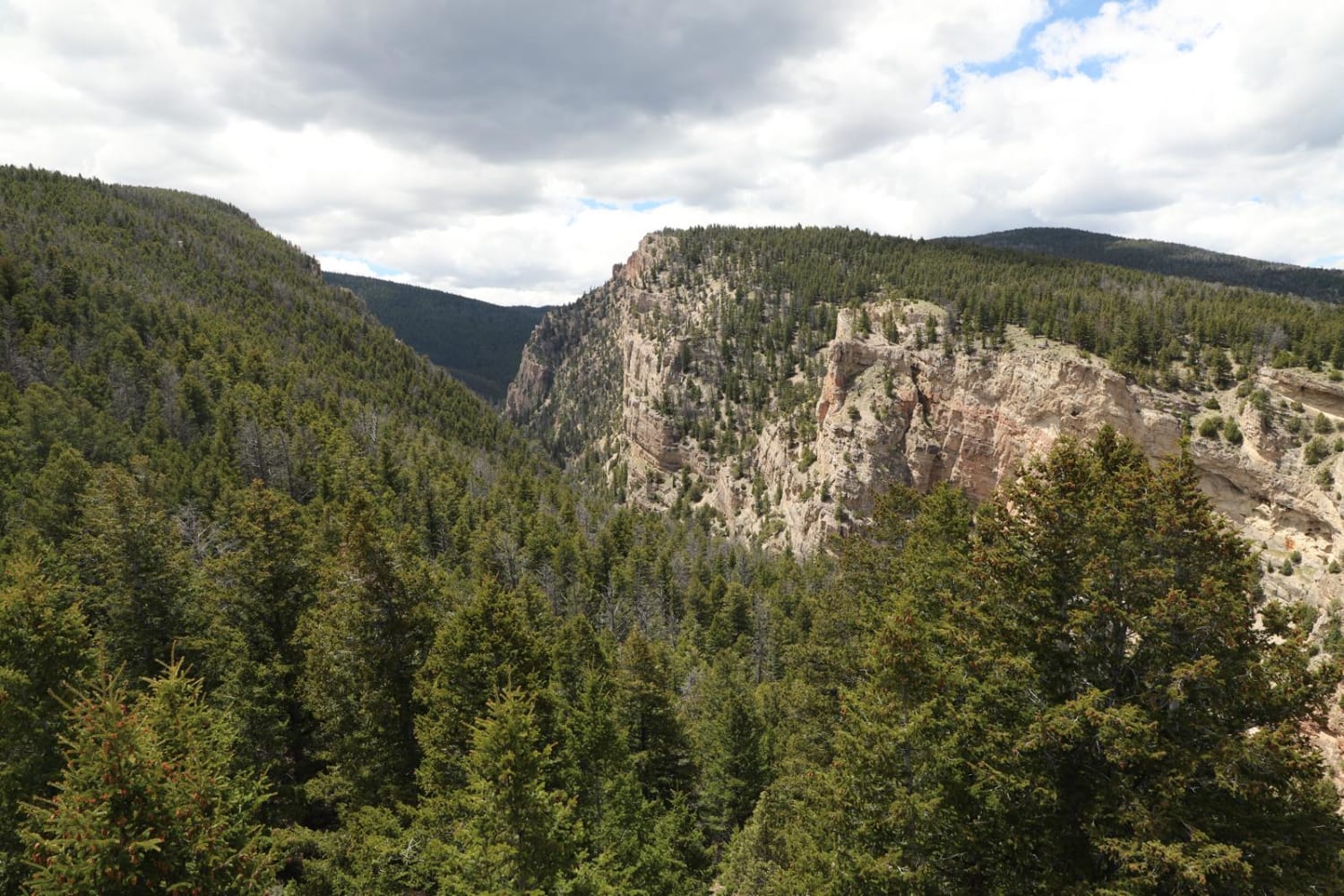
554 Wildcat and 528 Geyser Creek
Total Miles
13.9
Tech Rating
Easy
Best Time
Spring, Summer, Fall, Winter
Learn more about 57 Route - Willow Creek
57 Route - Willow Creek
Total Miles
5.6
Tech Rating
Easy
Best Time
Summer, Spring, Fall
UTV/side-by-side trails in Wyoming
Learn more about 554 Wildcat and 528 Geyser Creek
554 Wildcat and 528 Geyser Creek
Total Miles
13.9
Tech Rating
Easy
Best Time
Spring, Summer, Fall, Winter
Learn more about 57 Route - Willow Creek
57 Route - Willow Creek
Total Miles
5.6
Tech Rating
Easy
Best Time
Summer, Spring, Fall
The onX Offroad Difference
onX Offroad combines trail photos, descriptions, difficulty ratings, width restrictions, seasonality, and more in a user-friendly interface. Available on all devices, with offline access and full compatibility with CarPlay and Android Auto. Discover what you’re missing today!