Moon Lake
Total Miles
7.7
Technical Rating
Best Time
Summer, Fall
Trail Type
Full-Width Road
Accessible By
Trail Overview
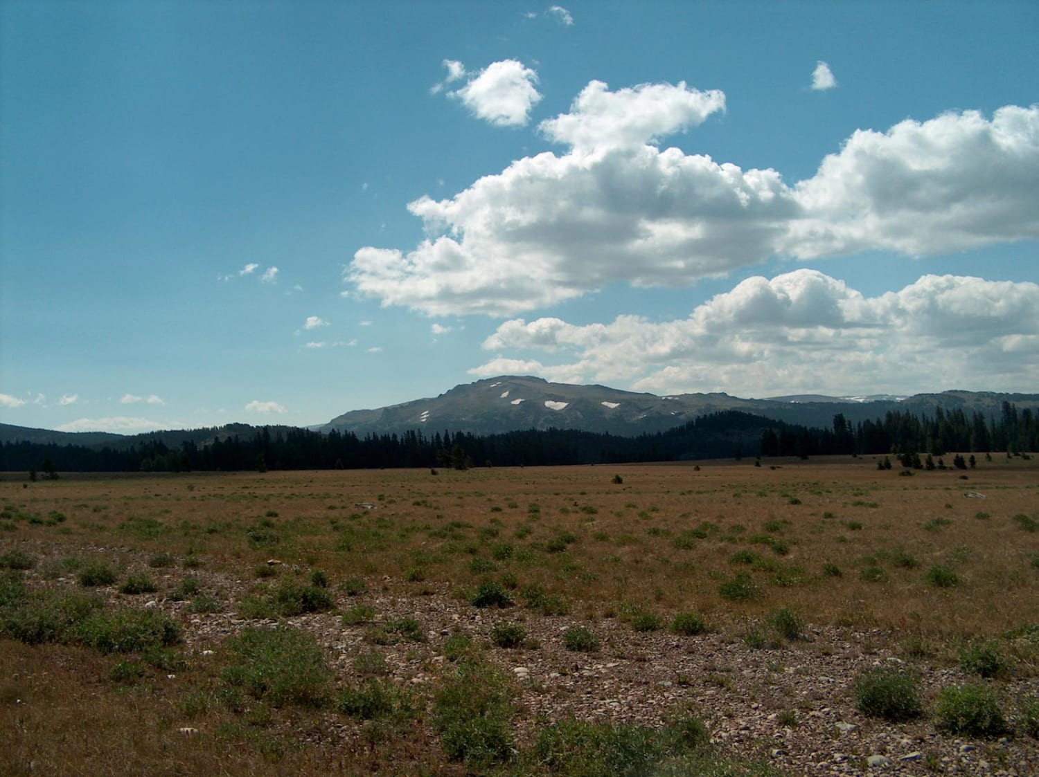
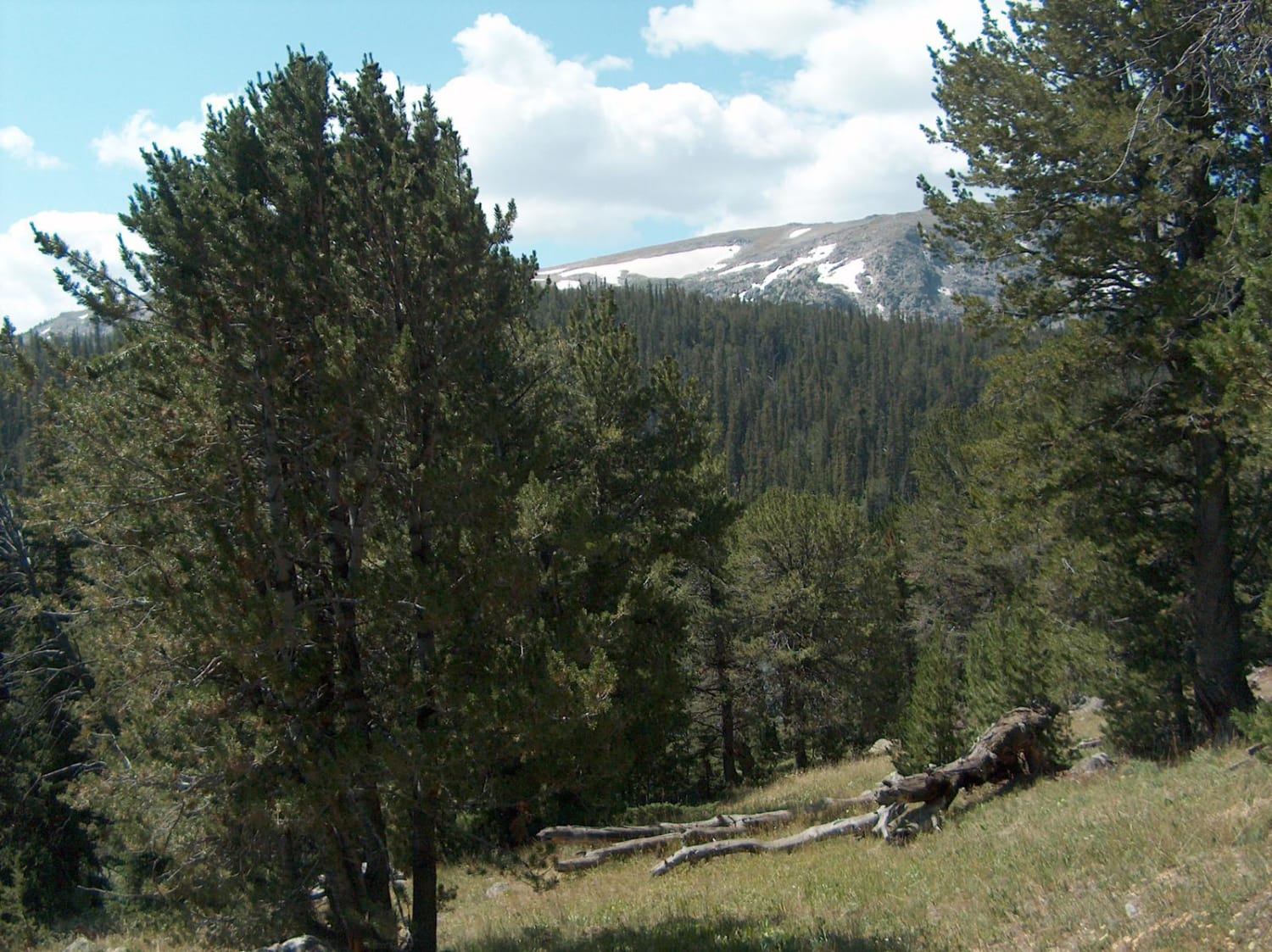
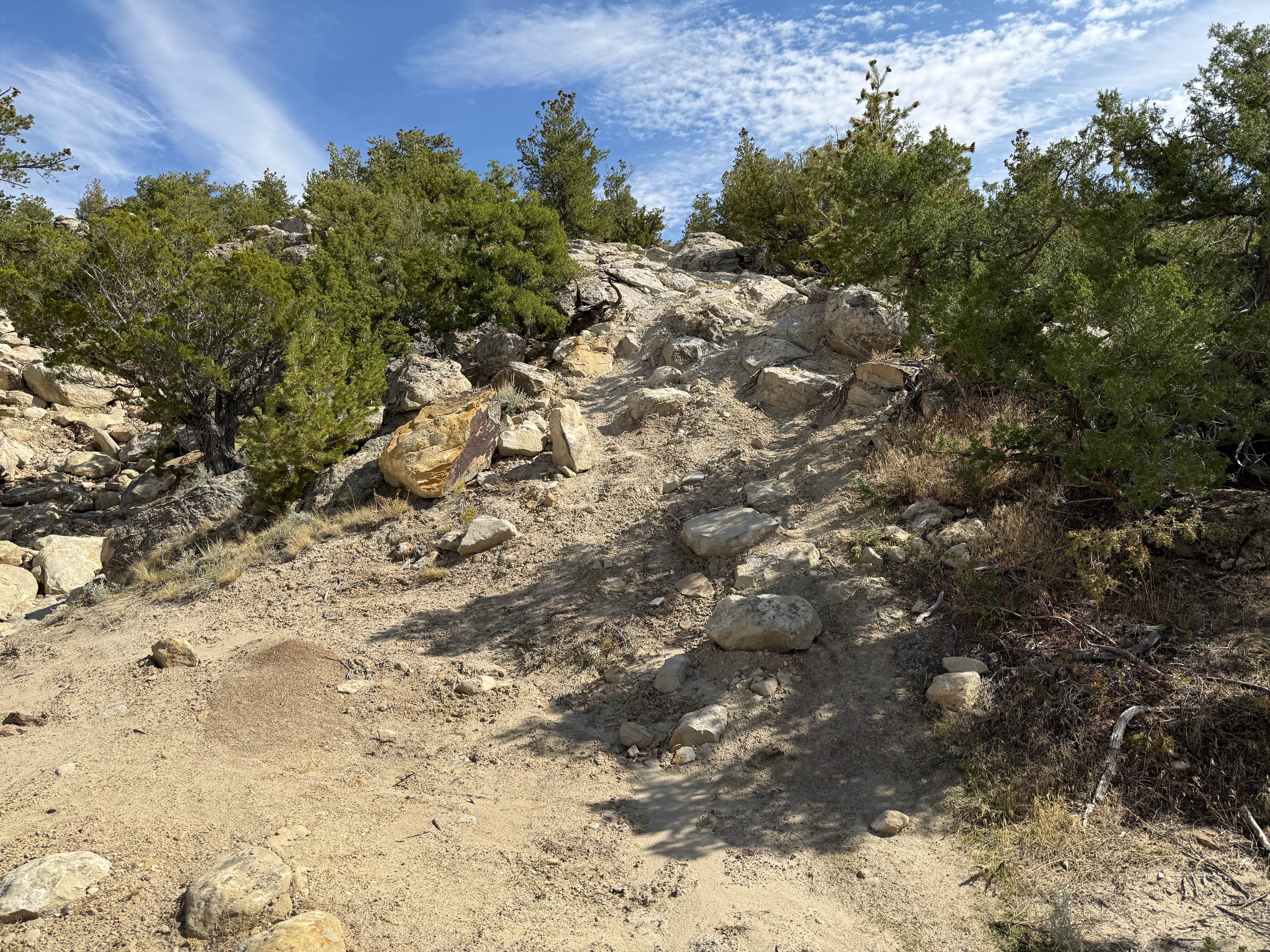
This rough track leads to a remote lake on the northern side of the Wind River Range. The driving gets progressively more challenging the closer you get to the lake. The adventure begins by crossing the high meadows of the Continental Divide. Halfway in, Union Peak (11,491) and its small glaciers become visible to the south as the road weaves between meadows and stands of pine. As the road draws closer to the lake, the roadway becomes riddled with large rocks that make driving slower especially in the last mile. A short downhill hike is required to reach the shoreline of Moon Lake. From the end of the road, a 4-mile designated ATV trail continues east toward the Fitzpatrick Wilderness boundary.
Photos of Moon Lake
Difficulty
The first half of this route does not typically present difficult driving. However, the tread gets increasingly rougher with large rocks, mud, ruts and stream crossings. Most stock 4x4 vehicles are found parked within the first 6 miles and drivers continue to the lake on foot. Also watch for equestrian traffic along the way.
Status Reports
Moon Lake can be accessed by the following ride types:
- High-Clearance 4x4
- SUV
- SxS (60")
- ATV (50")
- Dirt Bike
Moon Lake Map
Popular Trails
Tube Sock Betty

Pumpkin Vine Rd to Ames Monument

Wyoming Big Horns
The onX Offroad Difference
onX Offroad combines trail photos, descriptions, difficulty ratings, width restrictions, seasonality, and more in a user-friendly interface. Available on all devices, with offline access and full compatibility with CarPlay and Android Auto. Discover what you’re missing today!