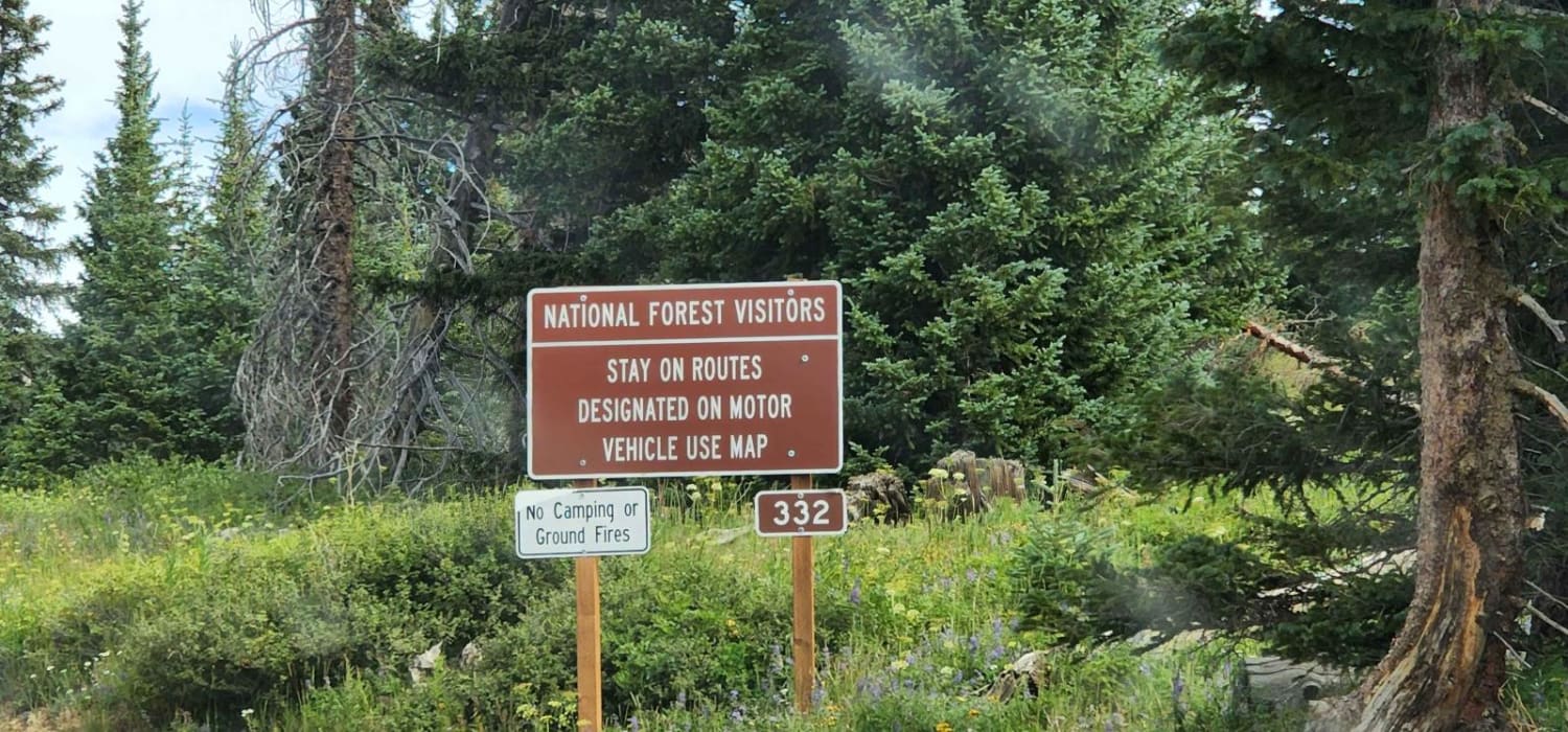
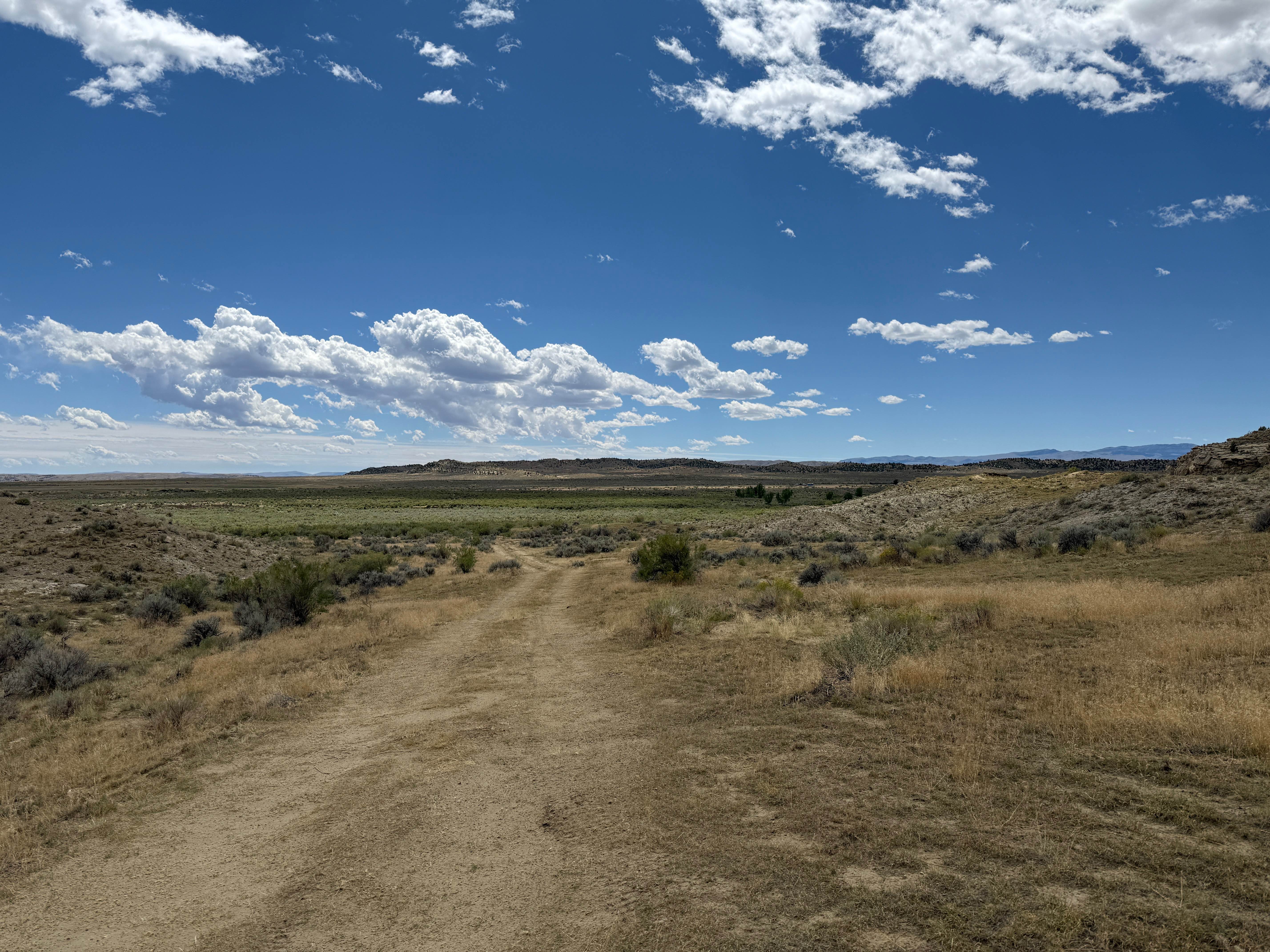
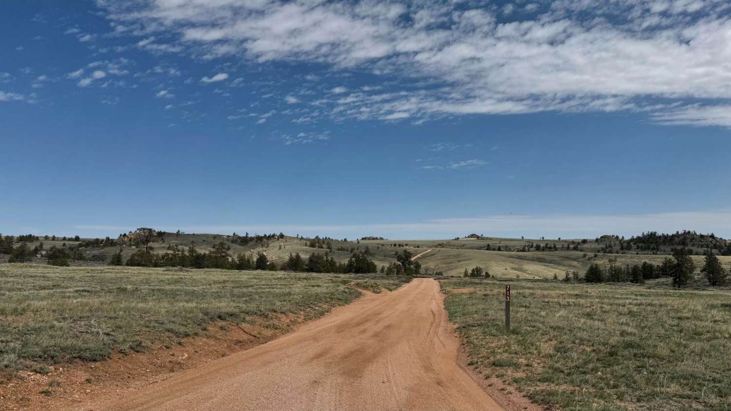
Off-Road Trails in Wyoming
Discover off-road trails in Wyoming
Learn more about SR 17 Ranger/Battle Creek Road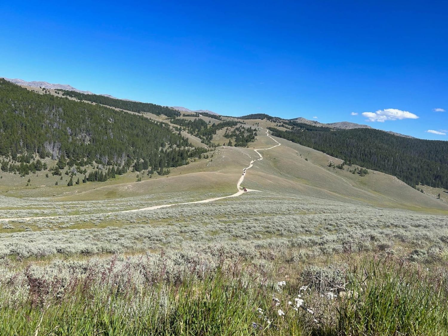
SR 17 Ranger/Battle Creek Road
Total Miles
6.7
Tech Rating
Moderate
Best Time
Summer
Learn more about SR 271 Shell Reservoir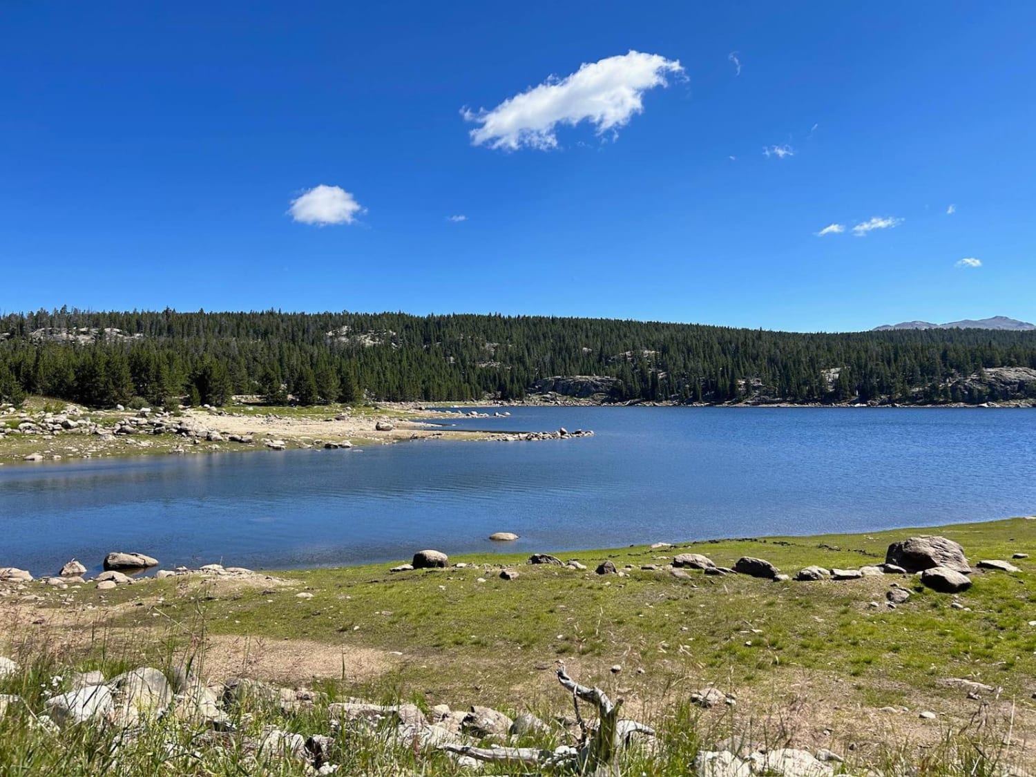
SR 271 Shell Reservoir
Total Miles
5.8
Tech Rating
Moderate
Best Time
Summer
Learn more about SR 280 Boulder Basin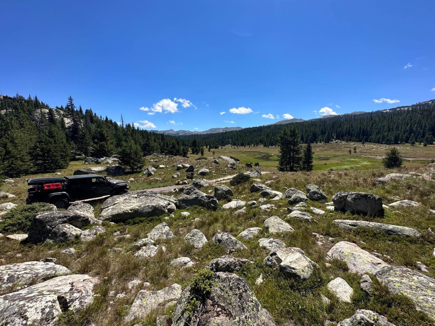
SR 280 Boulder Basin
Total Miles
2.6
Tech Rating
Moderate
Best Time
Summer
Learn more about Stairway to Heaven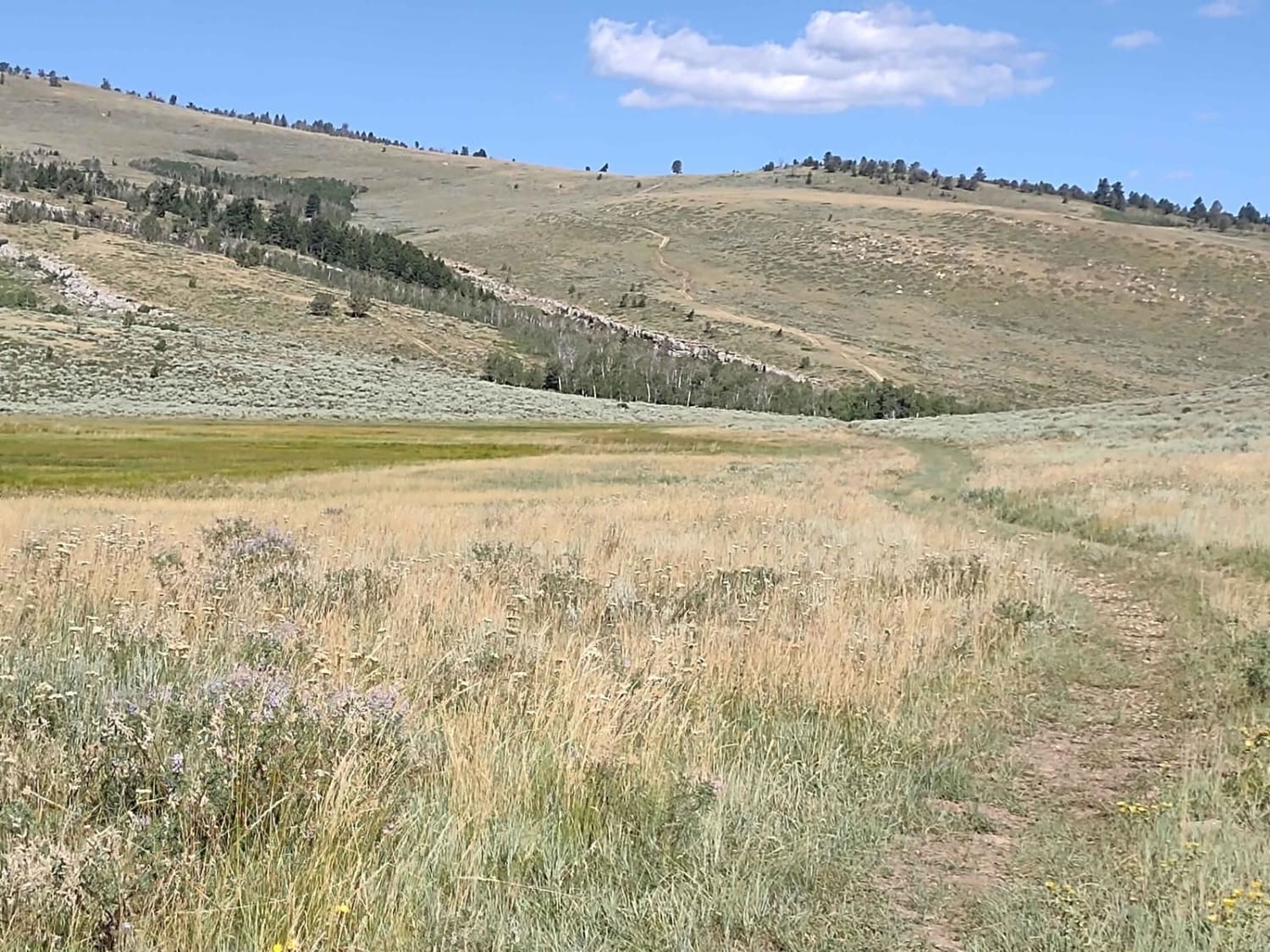
Stairway to Heaven
Total Miles
3.9
Tech Rating
Easy
Best Time
Spring, Summer, Fall
Learn more about Sullivon Spring Road
Sullivon Spring Road
Total Miles
1.5
Tech Rating
Moderate
Best Time
Summer, Fall
Learn more about Sunlight Mesa (FSR207)
Sunlight Mesa (FSR207)
Total Miles
6.5
Tech Rating
Easy
Best Time
Spring, Summer, Fall


Learn more about Telephone Extension
Telephone Extension
Total Miles
2.2
Tech Rating
Easy
Best Time
Summer, Fall

Learn more about Toppings Lake Trail Loop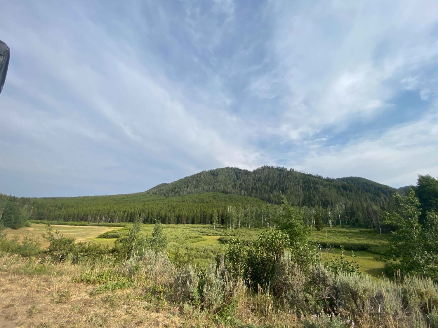
Toppings Lake Trail Loop
Total Miles
6.8
Tech Rating
Easy
Best Time
Summer
Learn more about Torchlight Road
Torchlight Road
Total Miles
13.6
Tech Rating
Easy
Best Time
Spring, Summer, Fall, Winter
Learn more about Tube Sock Betty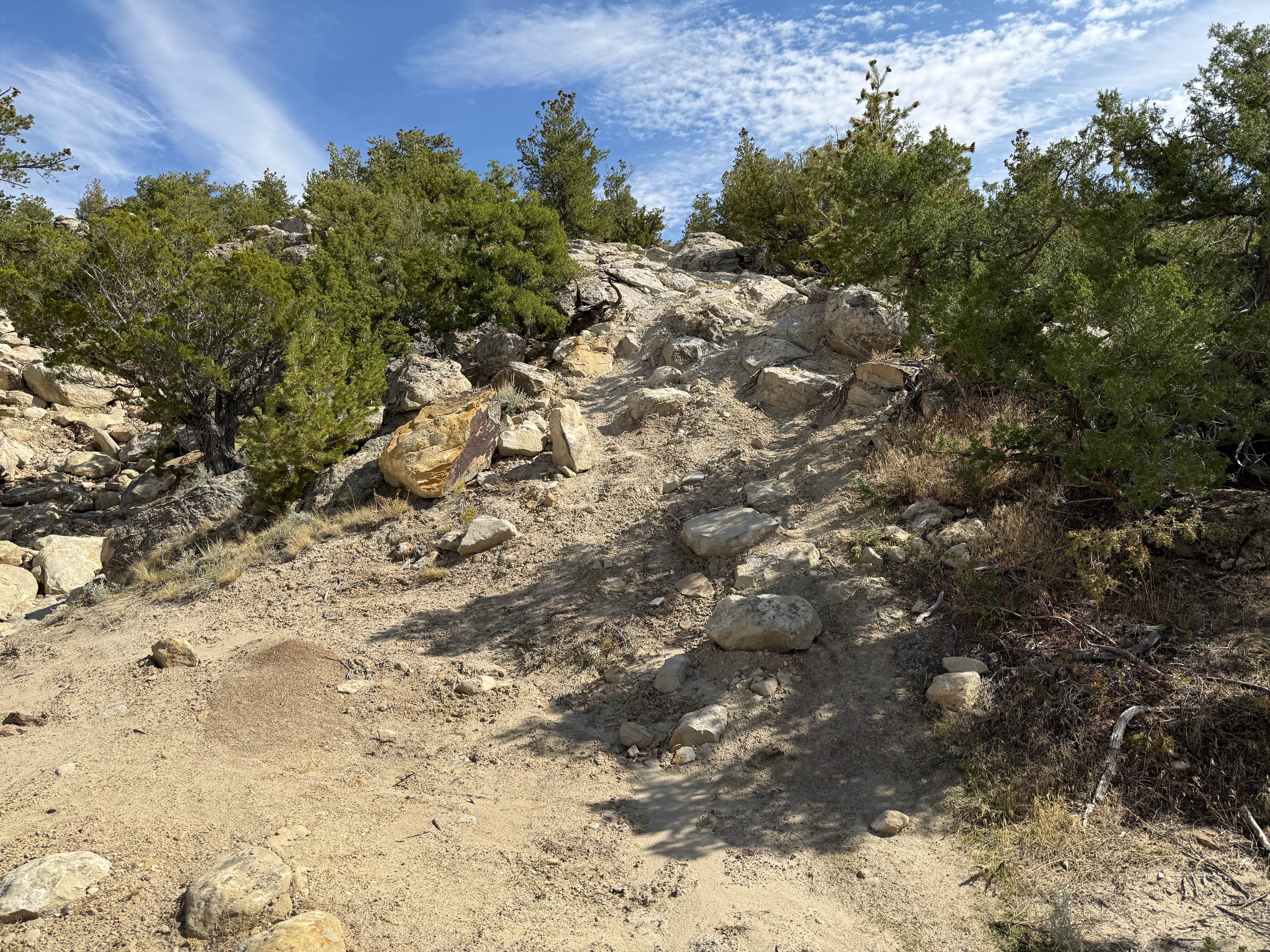
Tube Sock Betty
Total Miles
0.1
Tech Rating
Moderate
Best Time
Summer, Fall

ATV trails in Wyoming
Learn more about 554 Wildcat and 528 Geyser Creek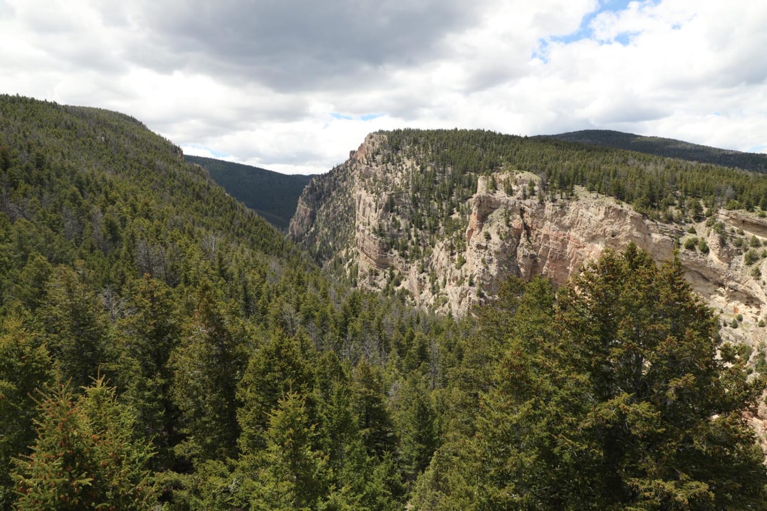
554 Wildcat and 528 Geyser Creek
Total Miles
13.9
Tech Rating
Easy
Best Time
Spring, Summer, Fall, Winter
Learn more about 57 Route - Willow Creek
57 Route - Willow Creek
Total Miles
5.6
Tech Rating
Easy
Best Time
Summer, Spring, Fall
UTV/side-by-side trails in Wyoming
Learn more about 554 Wildcat and 528 Geyser Creek
554 Wildcat and 528 Geyser Creek
Total Miles
13.9
Tech Rating
Easy
Best Time
Spring, Summer, Fall, Winter
Learn more about 57 Route - Willow Creek
57 Route - Willow Creek
Total Miles
5.6
Tech Rating
Easy
Best Time
Summer, Spring, Fall
The onX Offroad Difference
onX Offroad combines trail photos, descriptions, difficulty ratings, width restrictions, seasonality, and more in a user-friendly interface. Available on all devices, with offline access and full compatibility with CarPlay and Android Auto. Discover what you’re missing today!