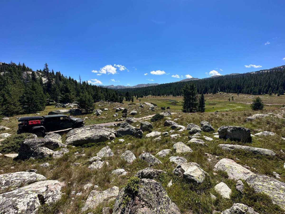
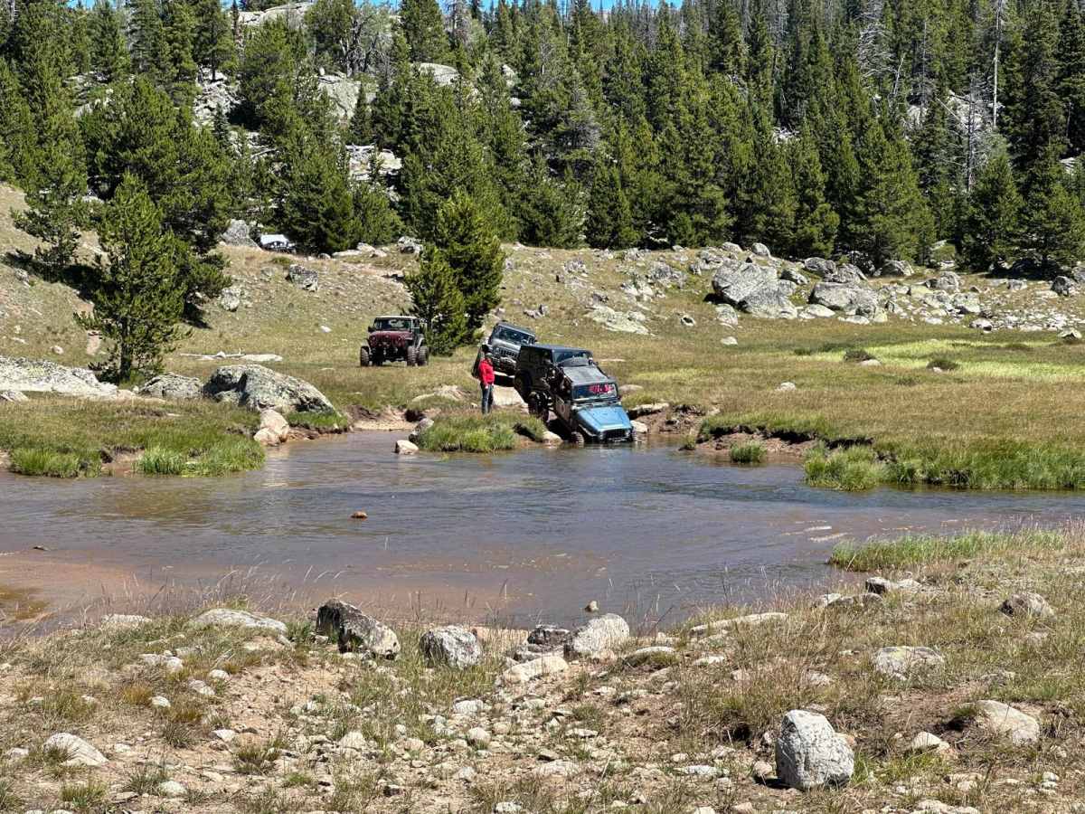
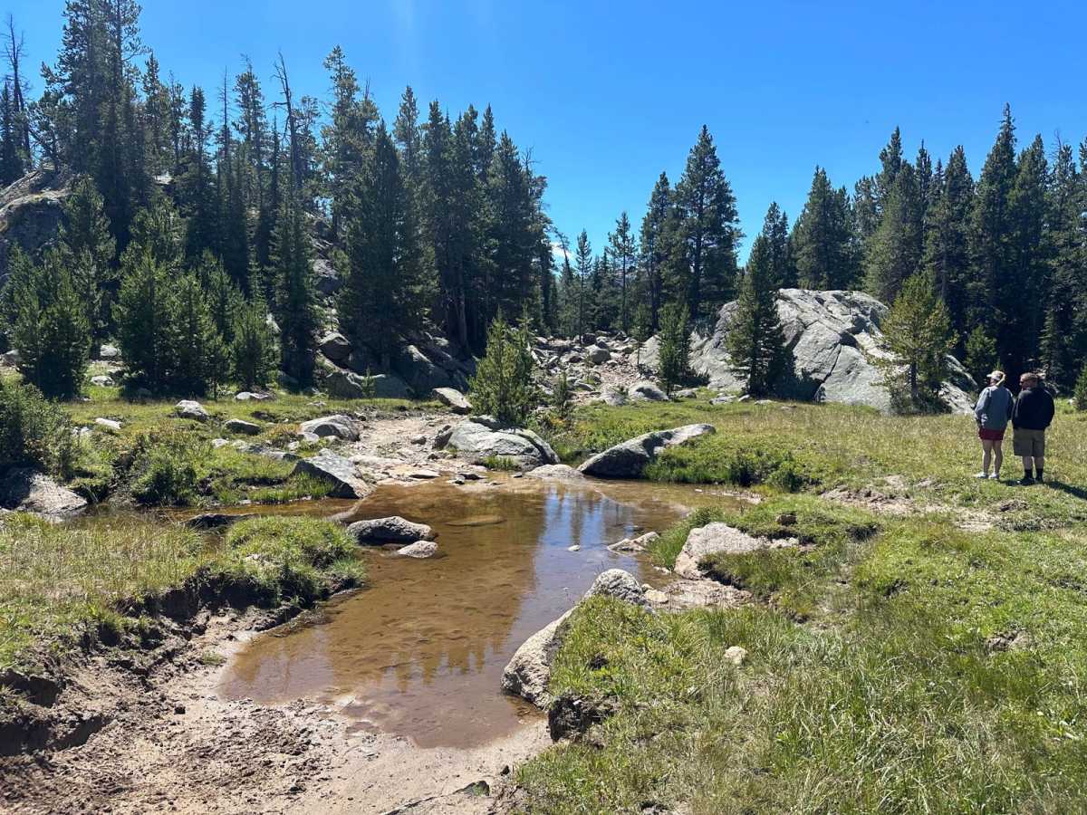
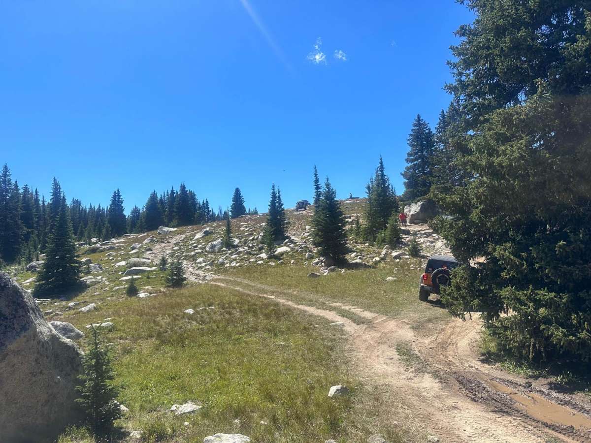
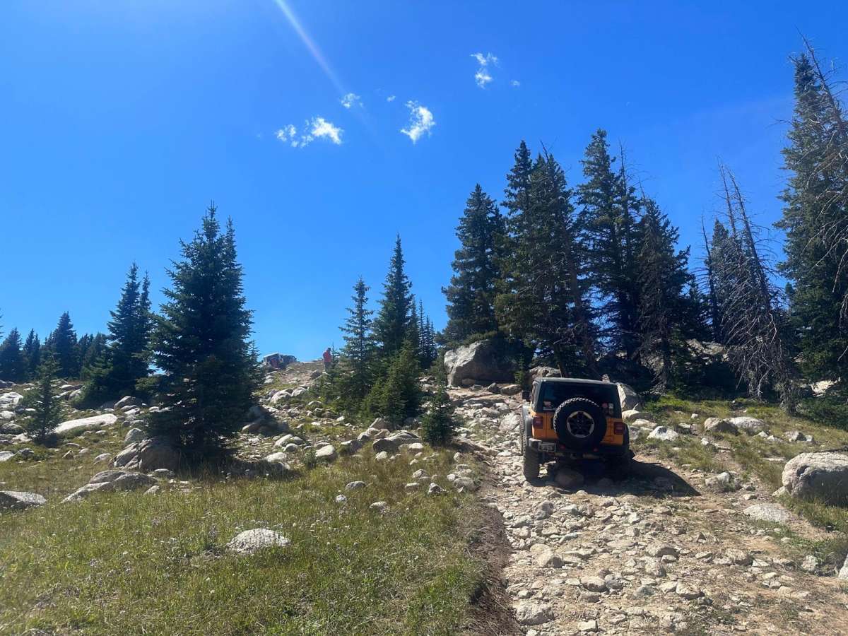
Trail Overview
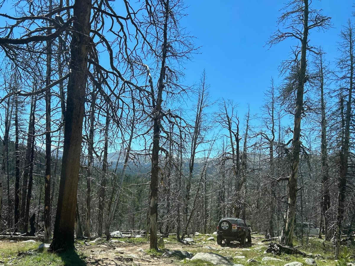
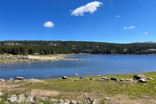
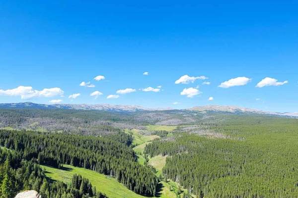
This trail lies between SR 270 and SR 321. The north end of the trail begins in an area where a forest fire previously occurred and continues through mostly forested terrain, with a few open areas along the way. It is primarily dirt with rocky sections, and as the name hints, there are many boulders along the way. There are a couple of water crossings on the trail, including one that can be deep at times. As with all water crossings, you are advised to walk it to determine the depth before crossing. There are sections with technical rock crawling, but all of these areas have easier bypasses available. The highlight of the trail is the "Kissing Rock", which is a triangular-shaped rock that allows two vehicles to crawl up from each side and kiss bumpers. Overall this is a scenic, fun, and moderately challenging trail. Stock 4WD vehicles will find this trail more challenging and will require skilled driving capabilities.
Difficulty
The trail is primarily dirt with rocky sections. Larger rocks, shelves up to 24 inches, rutting, and muddy areas can be encountered. Most rocky areas you encounter will offer multiple options to navigate that section of trail. There are also water crossings that can vary from 10 to 36 inches. Always verify the depth before passing.