Tame Cat
Total Miles
2.0
Technical Rating
Best Time
Spring, Summer, Fall
Trail Type
High-Clearance 4x4 Trail
Accessible By
Trail Overview
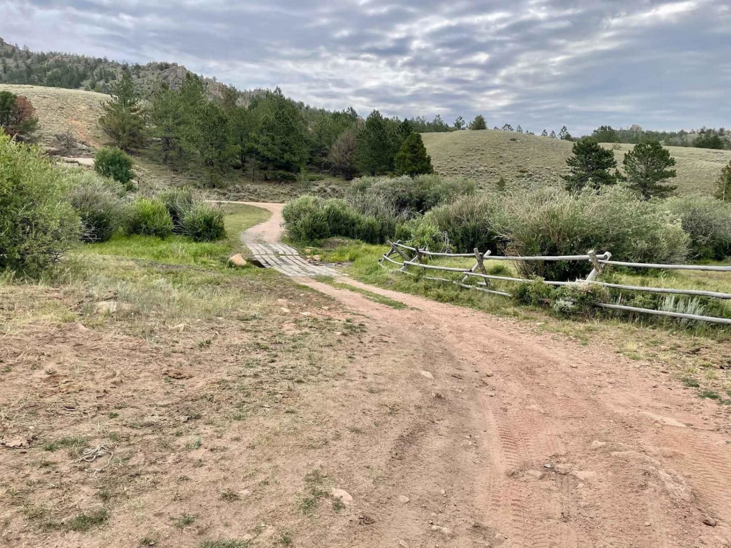
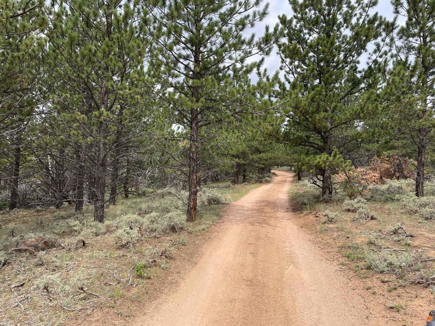
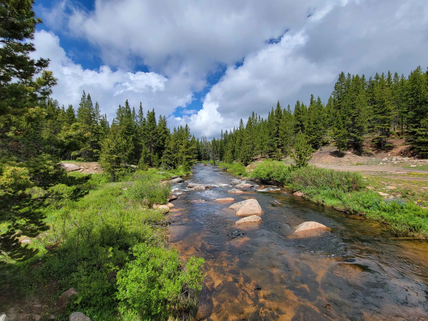
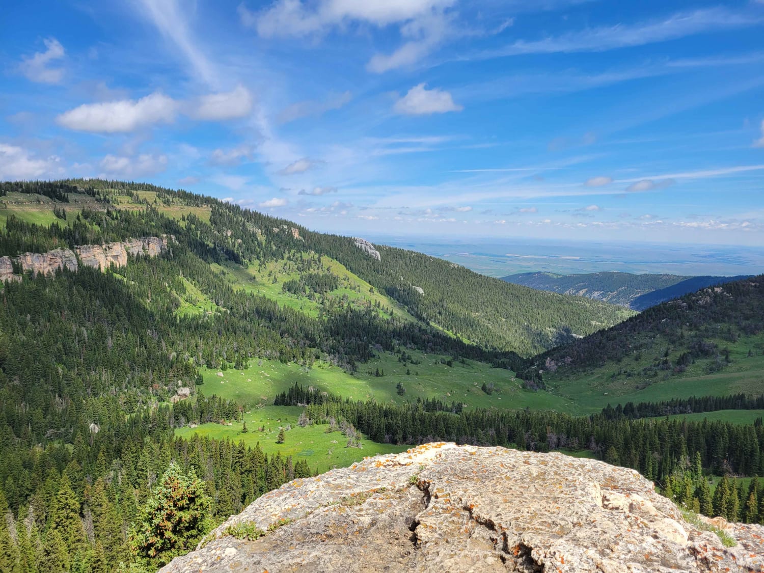
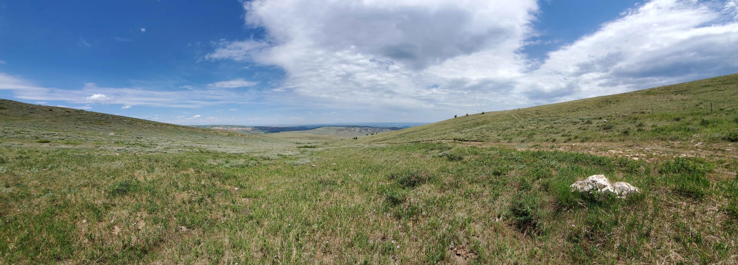
This is an out-and-back trail off Blair Wallis Road in Medicine Bow National Forest between Laramie and Cheyenne. After the creek crossing at the trailhead, it climbs through the pines and becomes a narrow two-track with a few bump rocks and water diversions. It is a bit overgrown in places and larger vehicles could make contact with branches. It eventually opens up into rolling hills and ends at a turnaround overlooking the Interstate.
Photos of Tame Cat
Difficulty
The creek crossing is lined with concrete block which could catch smaller tires. There are a few places where the trail gets a bit tight through the pine trees. Crossing water diversion bars will require a some ground clearance.
Status Reports
Tame Cat can be accessed by the following ride types:
- High-Clearance 4x4
Tame Cat Map
Popular Trails
Fools Creek Trails

Spalding Bay Road
The onX Offroad Difference
onX Offroad combines trail photos, descriptions, difficulty ratings, width restrictions, seasonality, and more in a user-friendly interface. Available on all devices, with offline access and full compatibility with CarPlay and Android Auto. Discover what you’re missing today!