Sunlight Mesa (FSR207)
Total Miles
6.5
Technical Rating
Best Time
Spring, Summer, Fall
Trail Type
Full-Width Road
Accessible By
Trail Overview
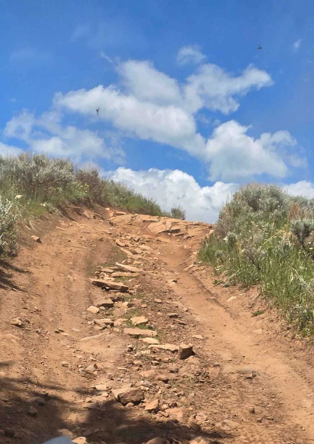
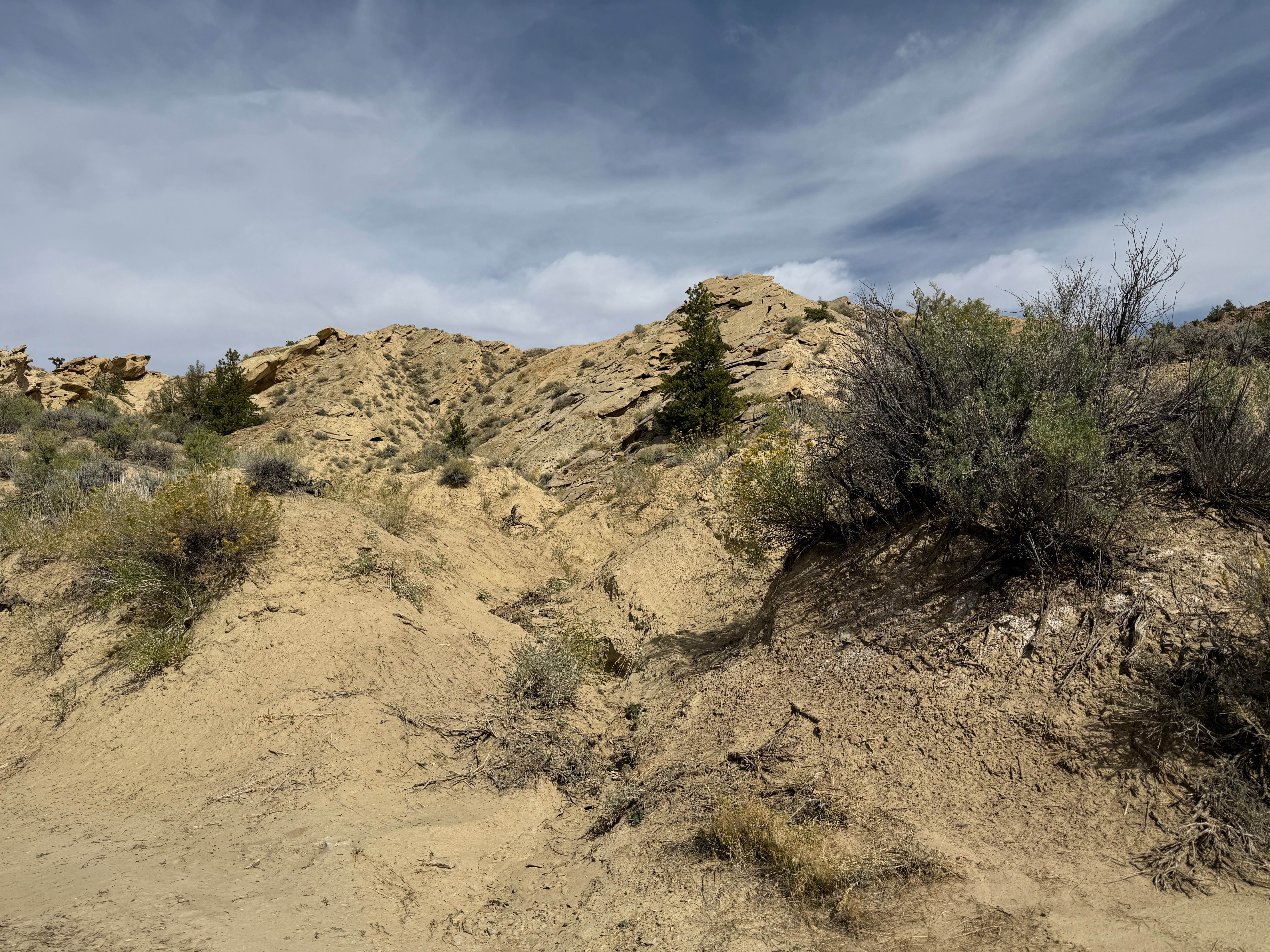
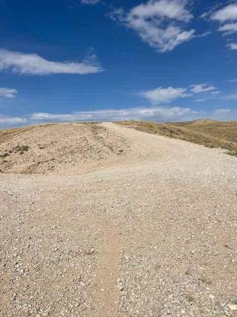
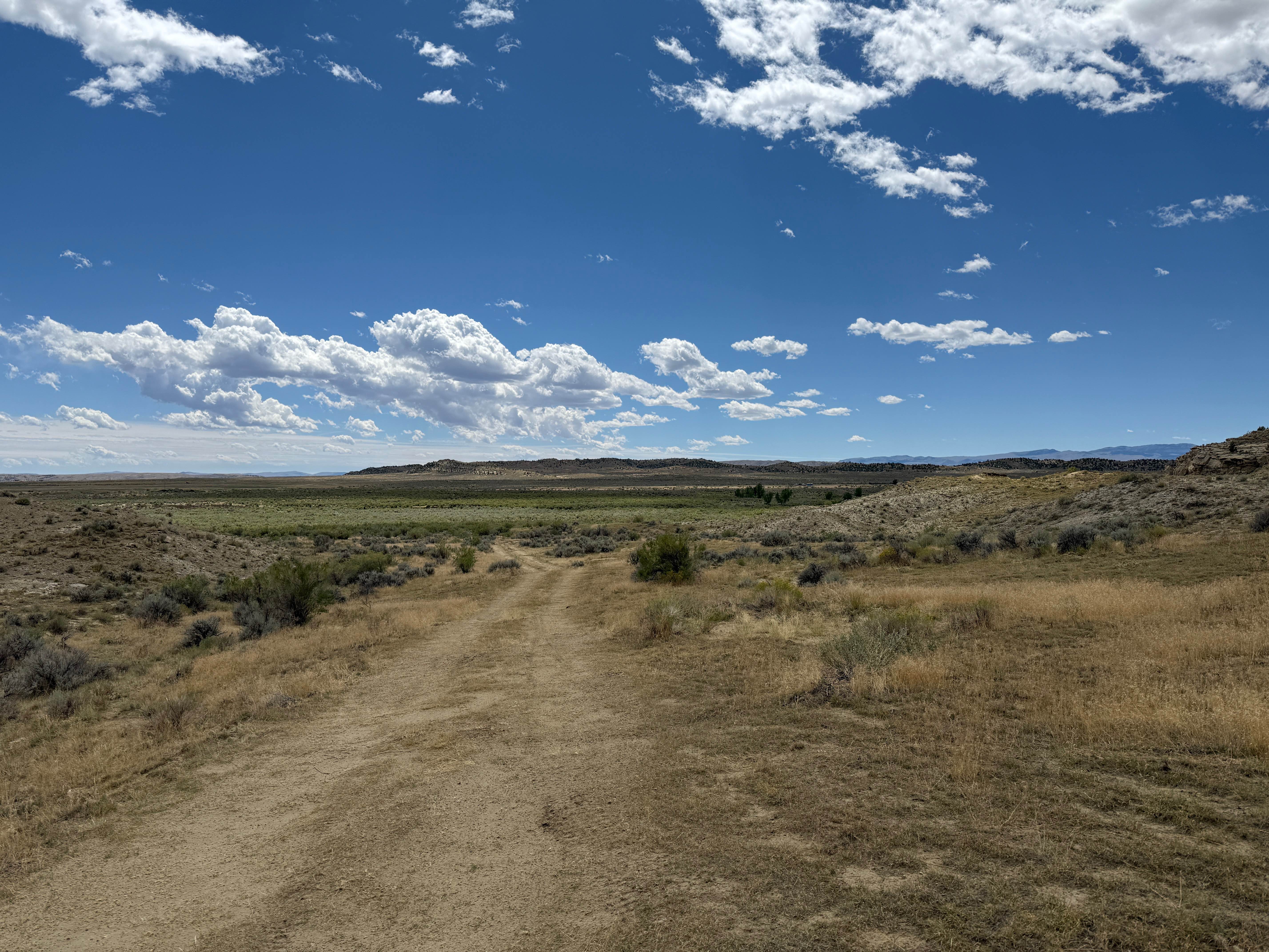
Sunlight Mesa drops from 9500 feet to just under 8000 feet in elevation, and it moves southwest from Hunt Mtn Rd to an overlook of the Big Horn Basin and Lovell down below. There are a couple of gates, and because they use this country for summer cattle and sheep grazing leases, please close any gate you open to access this beautiful country. This trail includes some steep inclines and declines as you move over the hills to the west edge of the Big Horn Mountains. The trail is rocky in places, but it's not a challenging ride. Some parts of the trail show deep ruts and erosion from the spring run-off and/or monsoon rains. You go by a cow camp, including a cabin, an outhouse, and other outbuildings. This ride includes another great view of Copman's Tomb, the white/yellow rock cliff in the distance. The end of the trail is a rocky outcropping.
Photos of Sunlight Mesa (FSR207)

Difficulty
This is a dirt trail, with some areas of loose rock and erosion. But it's not difficult.
History
John Copman was the first settler to run cattle in this area in the 1880s. The white/yellow cliff in the distance was named after him.
Status Reports
Sunlight Mesa (FSR207) can be accessed by the following ride types:
- High-Clearance 4x4
- SUV
- SxS (60")
- ATV (50")
- Dirt Bike
Sunlight Mesa (FSR207) Map
Popular Trails
McCullough Peaks Road

The onX Offroad Difference
onX Offroad combines trail photos, descriptions, difficulty ratings, width restrictions, seasonality, and more in a user-friendly interface. Available on all devices, with offline access and full compatibility with CarPlay and Android Auto. Discover what you’re missing today!