Tusky Ridge
Total Miles
2.3
Technical Rating
Best Time
Summer
Trail Type
Single Track
Accessible By
Trail Overview
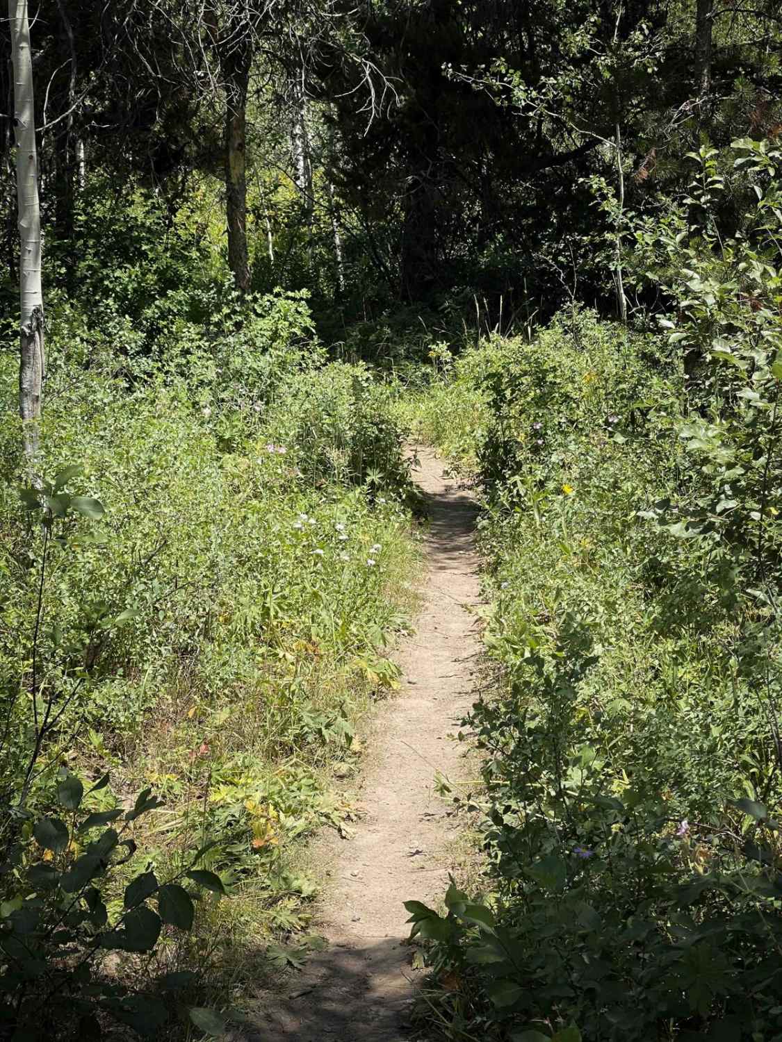
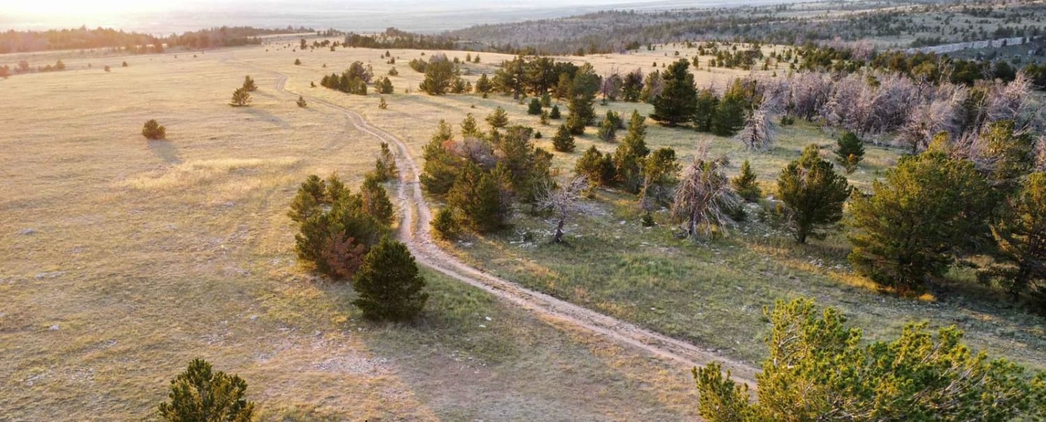
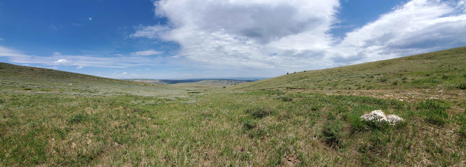
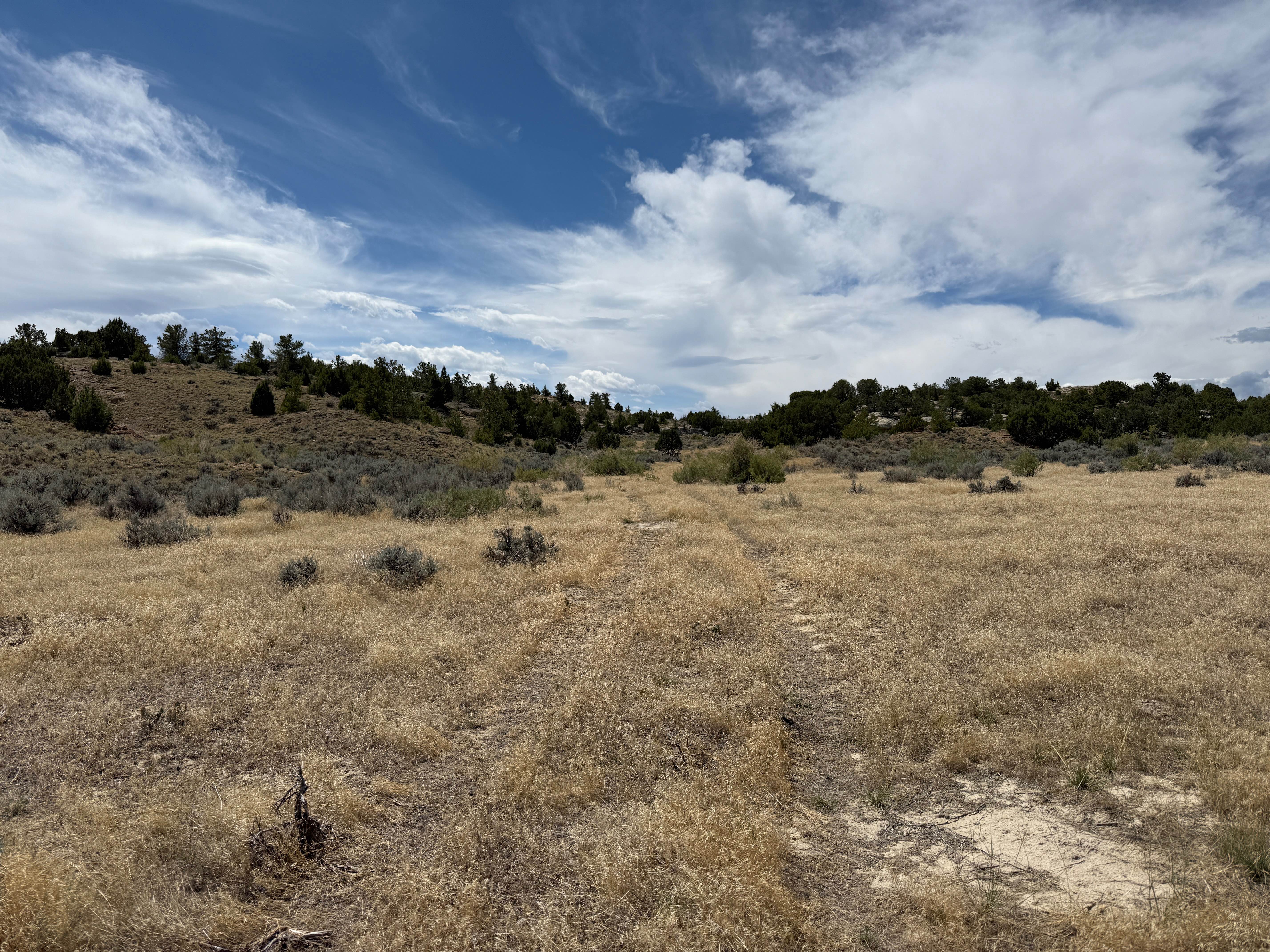
Tusky Ridge is a 2.3-mile-long singletrack trail that gradually descends from south to north, losing approximately 600 feet in elevation. The route flows smoothly through groves of aspens and fields of wildflowers, with a combination of straight, gradual stretches and tight, winding turns. The trail surface is very smooth with almost no rock, and its consistent ease and flow make it a popular route for mountain bikers as well. Located within the Big Munger trail system, Tusky Ridge can be combined with nearby trails like Poison Creek, Squaw Creek, and Wally World to form various loop options for a half-day ride. About halfway through the trail, a short connector called Cosmic Carols links to Poison Creek.
Photos of Tusky Ridge

Difficulty
This is an easy trail due to its gradual slope, smooth surface, and lack of obstacles. The blend of winding and straight sections keeps the trail engaging without increasing the difficulty.
Status Reports
Tusky Ridge can be accessed by the following ride types:
- Dirt Bike
Tusky Ridge Map
Popular Trails
Sullivon Spring Road

Fools Creek (FSR 178) - Ice Creek (FSR 142)
The onX Offroad Difference
onX Offroad combines trail photos, descriptions, difficulty ratings, width restrictions, seasonality, and more in a user-friendly interface. Available on all devices, with offline access and full compatibility with CarPlay and Android Auto. Discover what you’re missing today!