Bill's Trail
Total Miles
0.7
Technical Rating
Best Time
Summer, Fall
Trail Type
Full-Width Road
Accessible By
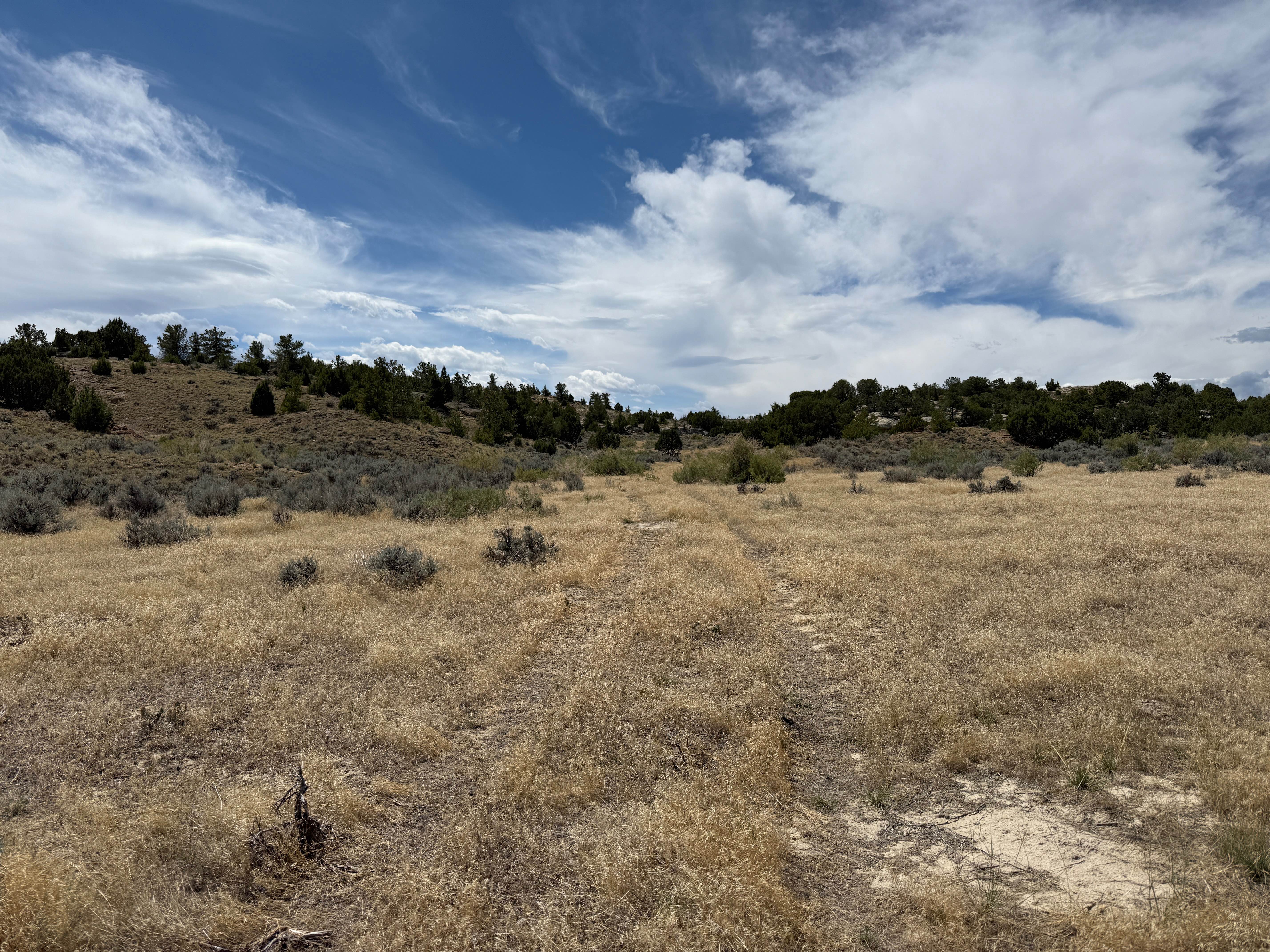
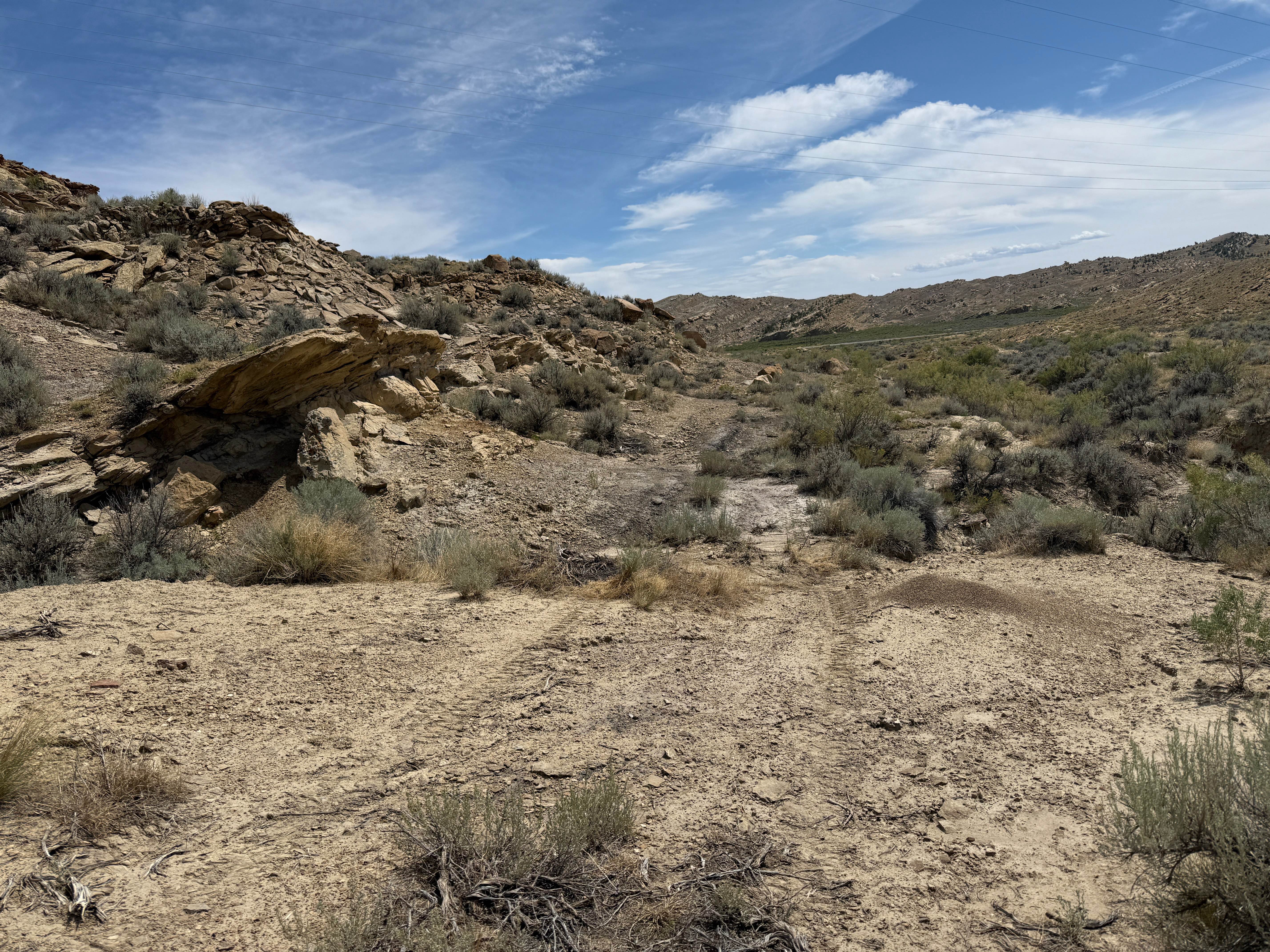
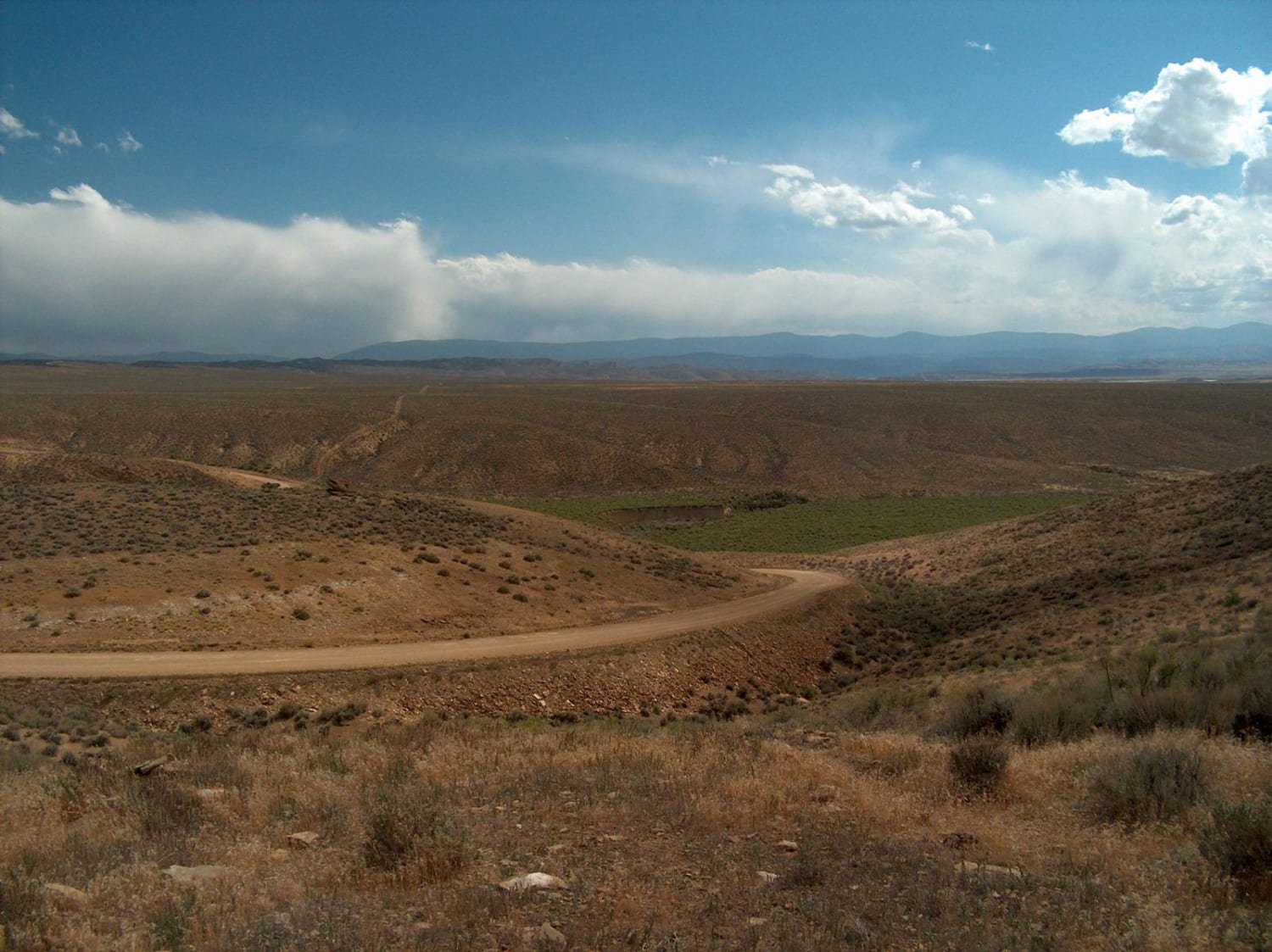
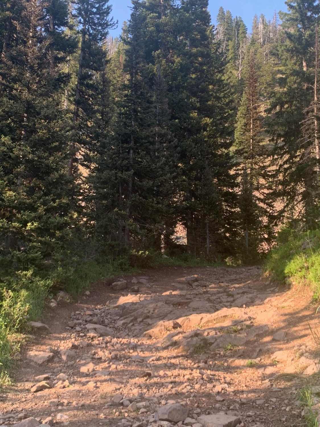
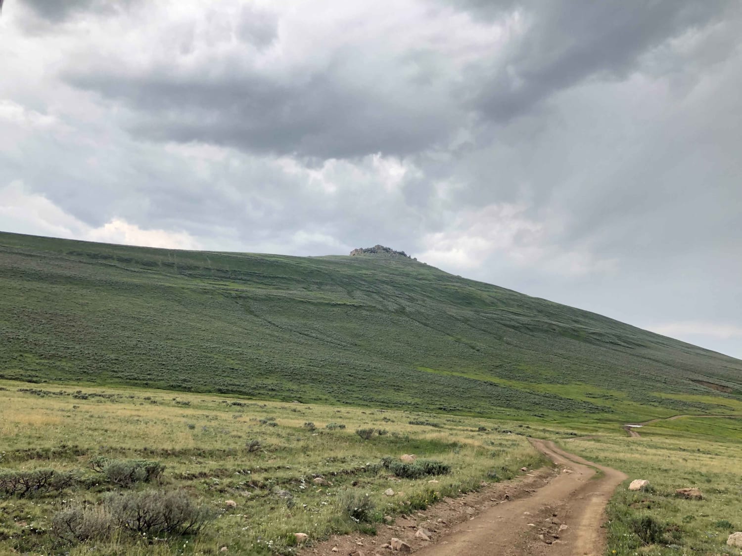
Trail Overview
Short trail up and over the Ridgeline that parallels the Powerline Trail connecting the North side of the Outer Loop Trail with the Lower Road. The south side is moderately steep with a short section of narrow, rocky incline, and some short rock and ledge obstacles. The north side levels out into the sagebrush lands at the north side of the park.
Photos of Bill's Trail
Difficulty
Short, but rocky, steep, and tight in places. The lower section to the south travels along a small wash with some small boulder obstacles. Going up to the north, caries you through a narrow canyon filled with angular loose rocks.
Status Reports
Bill's Trail can be accessed by the following ride types:
- High-Clearance 4x4
- SUV
- SxS (60")
- ATV (50")
- Dirt Bike
Bill's Trail Map
Popular Trails
Antelope Valley
The onX Offroad Difference
onX Offroad combines trail photos, descriptions, difficulty ratings, width restrictions, seasonality, and more in a user-friendly interface. Available on all devices, with offline access and full compatibility with CarPlay and Android Auto. Discover what you’re missing today!