Cottonwood
Total Miles
6.0
Technical Rating
Best Time
Summer, Fall
Trail Type
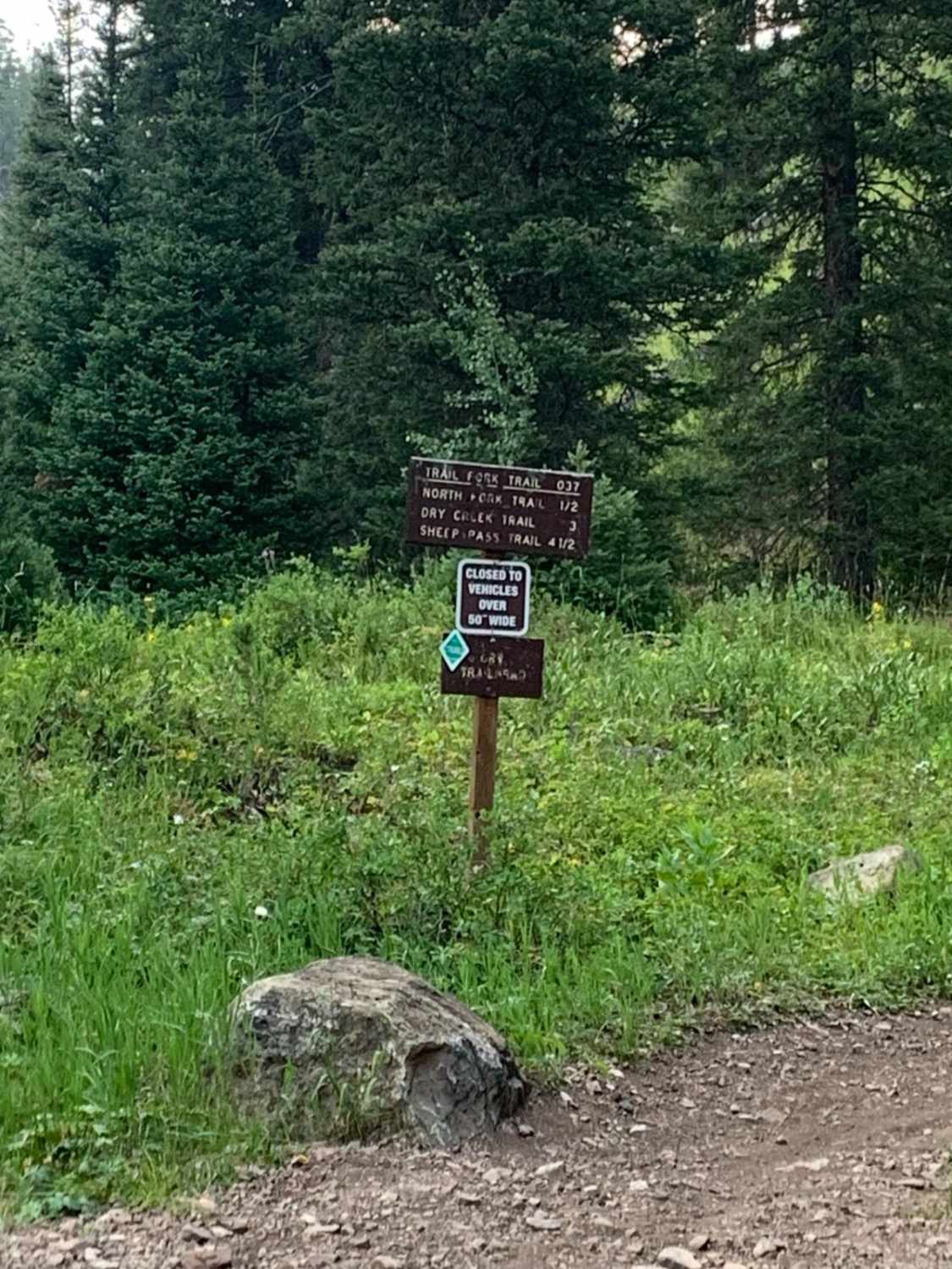
Full-Width Road
Accessible By
Trail Overview
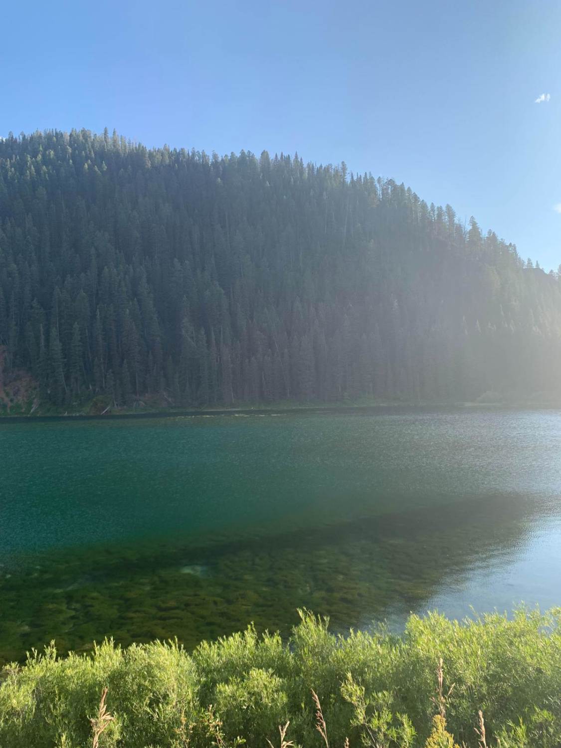
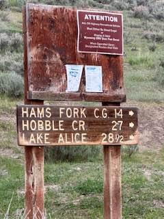
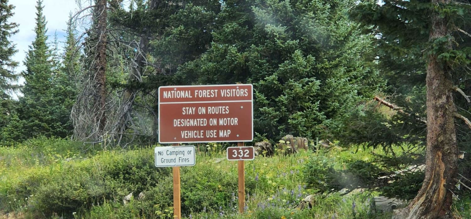
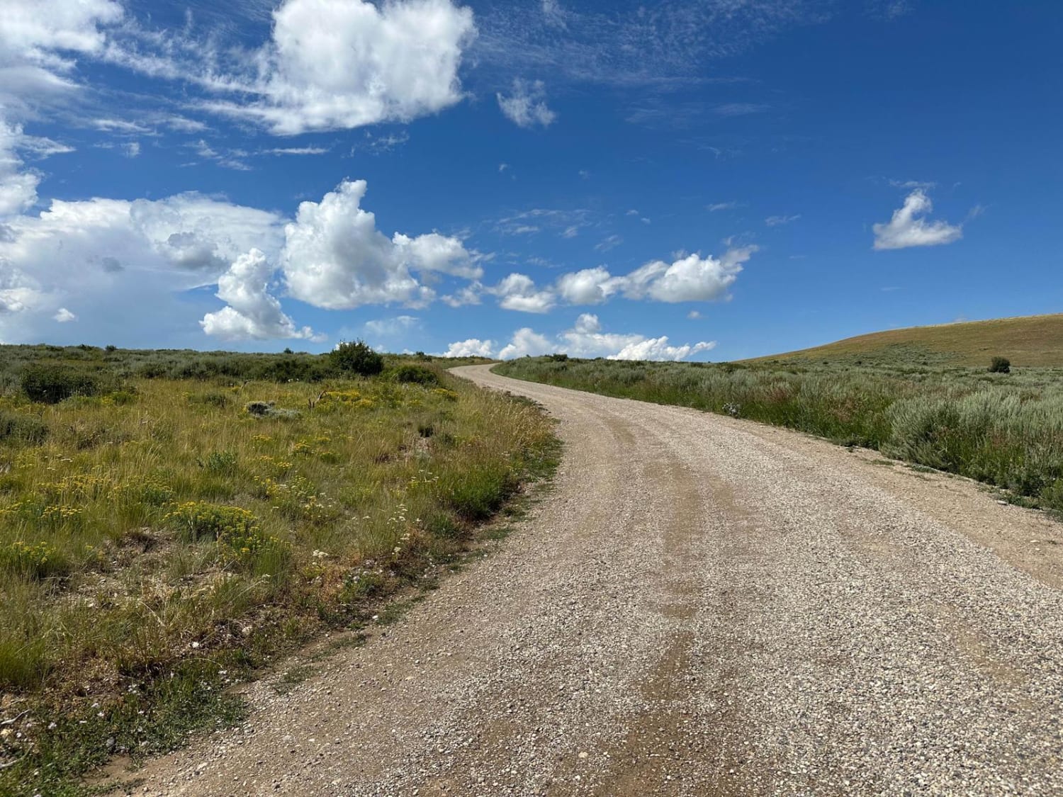
You access this road from County Road 153. Cottonwood Lake is at the top of the road. There is camping and fishing there as well. The road can be busy at times which can make it dusty. There are picnic areas with fire rings and tables next to the lake.
Photos of Cottonwood
Difficulty
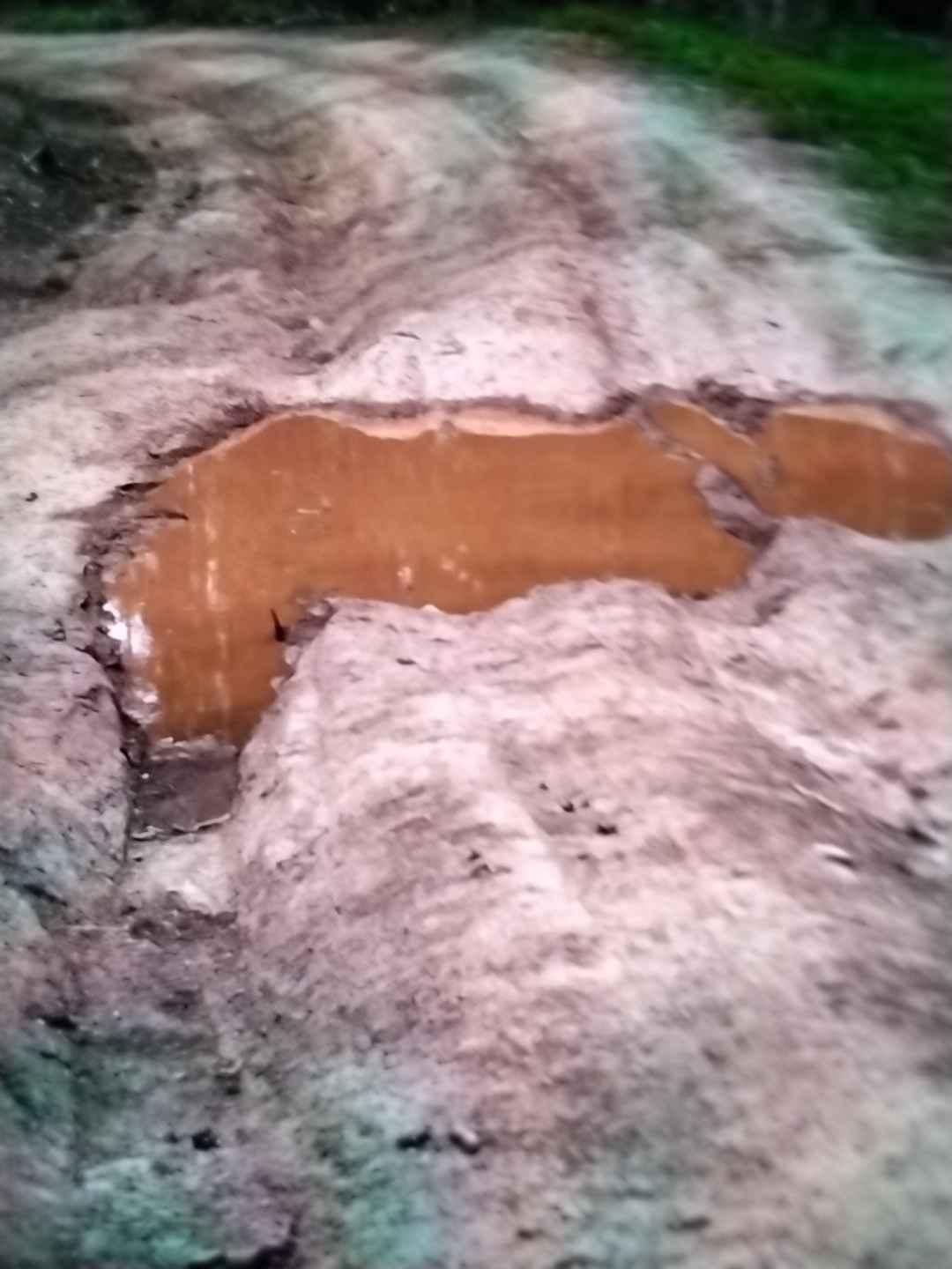
The road is well maintained. There are pot holes and smaller rocks but no big obstacles.
Status Reports
Cottonwood can be accessed by the following ride types:
- High-Clearance 4x4
- SUV
- SxS (60")
- ATV (50")
- Dirt Bike
Cottonwood Map
Popular Trails
Cundick Ridge Road
The onX Offroad Difference
onX Offroad combines trail photos, descriptions, difficulty ratings, width restrictions, seasonality, and more in a user-friendly interface. Available on all devices, with offline access and full compatibility with CarPlay and Android Auto. Discover what you’re missing today!