Smiths Fork
Total Miles
12.1
Technical Rating
Best Time
Summer, Fall
Trail Type
Full-Width Road
Accessible By
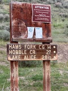
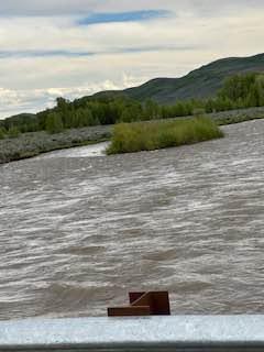
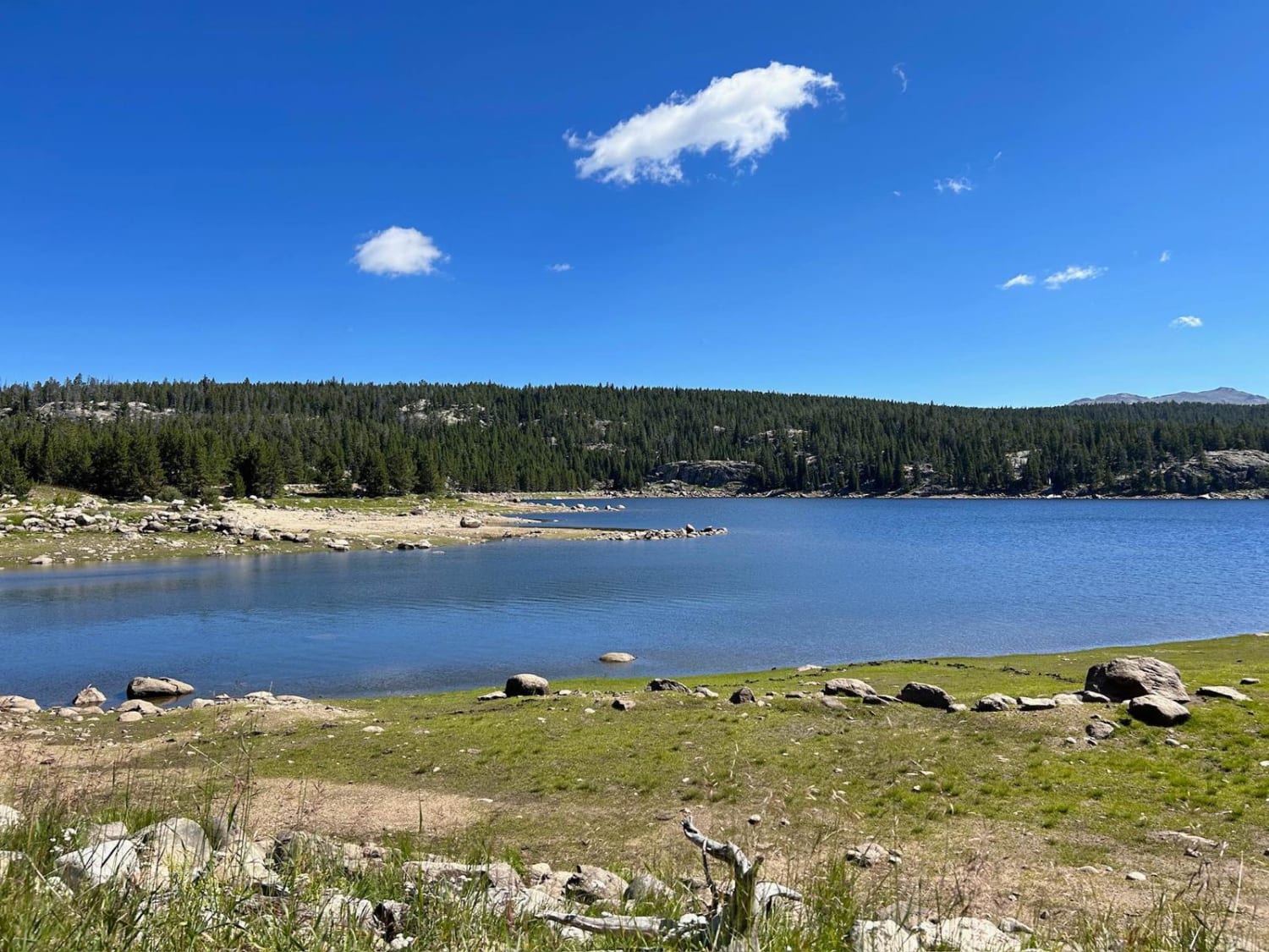
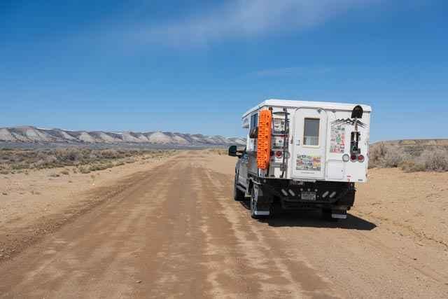
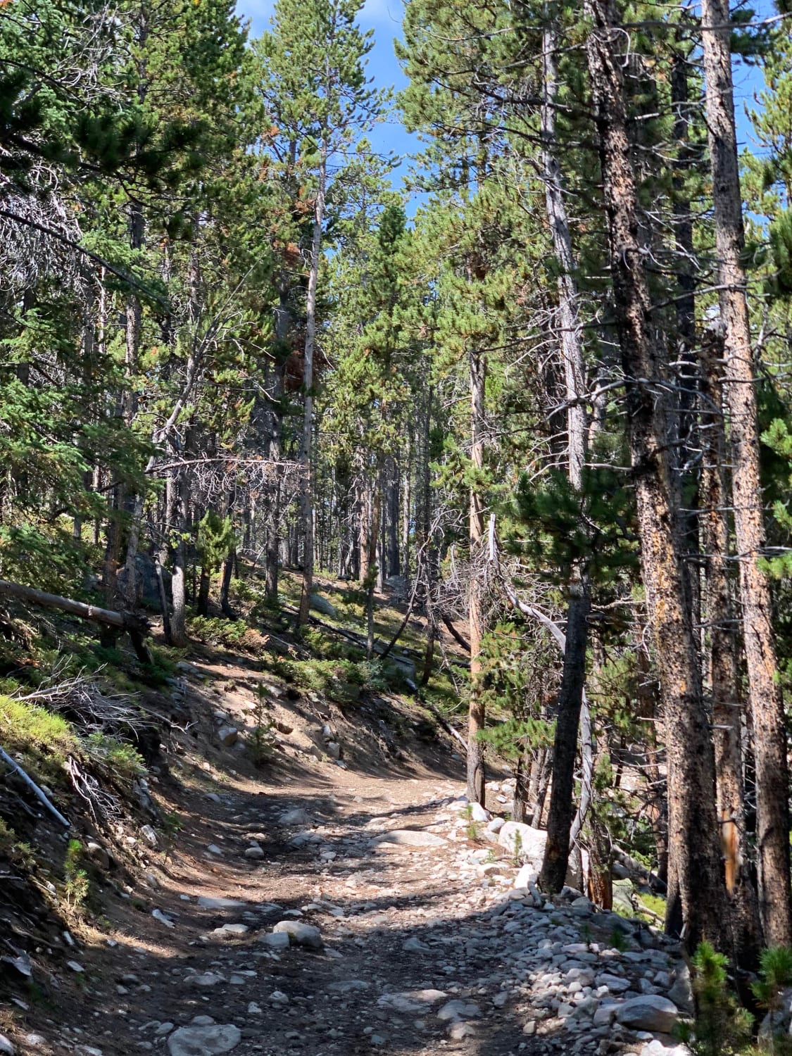
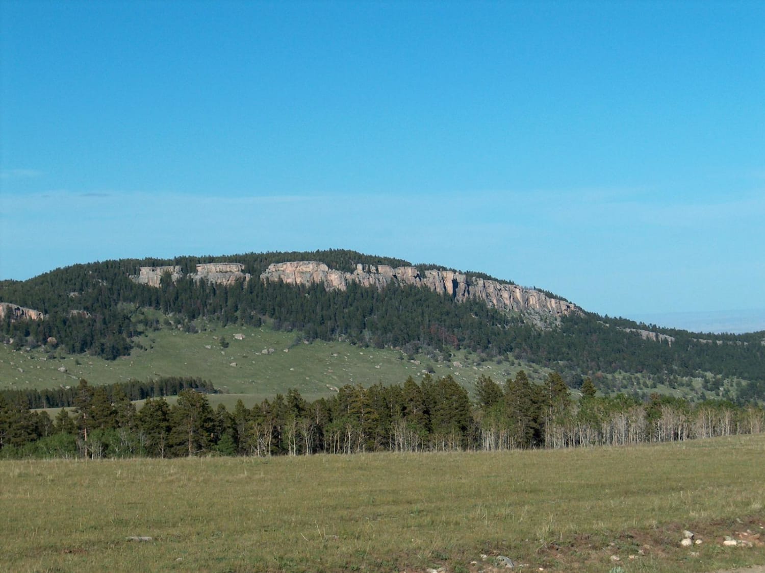
Trail Overview
This trail follows the Smiths Fork River. There are locations for camping and fishing along the way. There is also private property along the way, so be aware of your location. The trail is fairly well maintained. There are spots of washboards and other hazards. The roads can be fairly dusty due to the soil type in the area.
Photos of Smiths Fork
Difficulty
This is a well-maintained road with washboards and other hazards.
Status Reports
Smiths Fork can be accessed by the following ride types:
- High-Clearance 4x4
- SUV
- SxS (60")
- ATV (50")
- Dirt Bike
Smiths Fork Map
Popular Trails
SR 271 Shell Reservoir
North Red Desert Traverse
The onX Offroad Difference
onX Offroad combines trail photos, descriptions, difficulty ratings, width restrictions, seasonality, and more in a user-friendly interface. Available on all devices, with offline access and full compatibility with CarPlay and Android Auto. Discover what you’re missing today!