Carter Mountain Access
Total Miles
11.0
Technical Rating
Best Time
Summer, Fall
Trail Type
Full-Width Road
Accessible By
Trail Overview
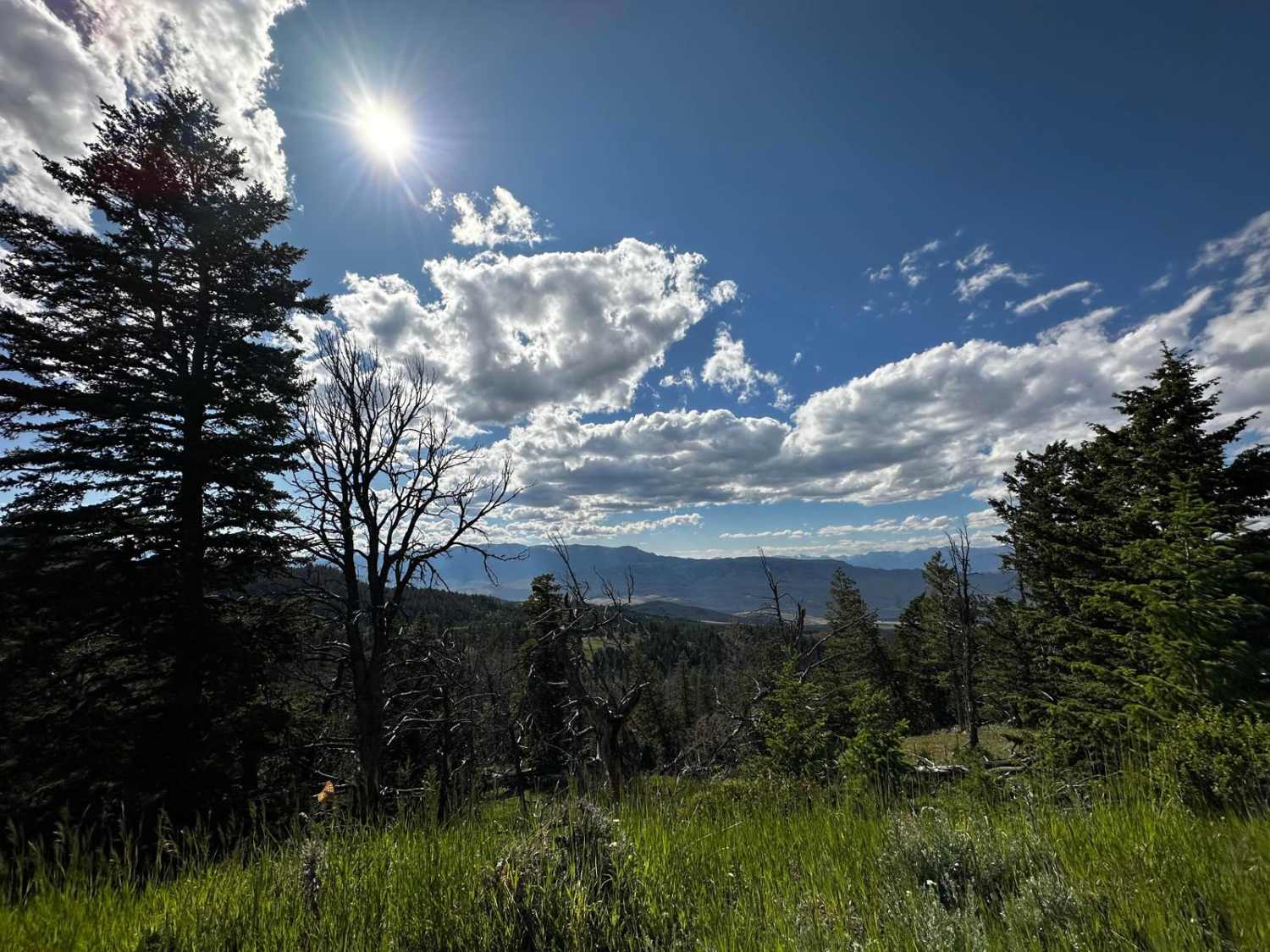
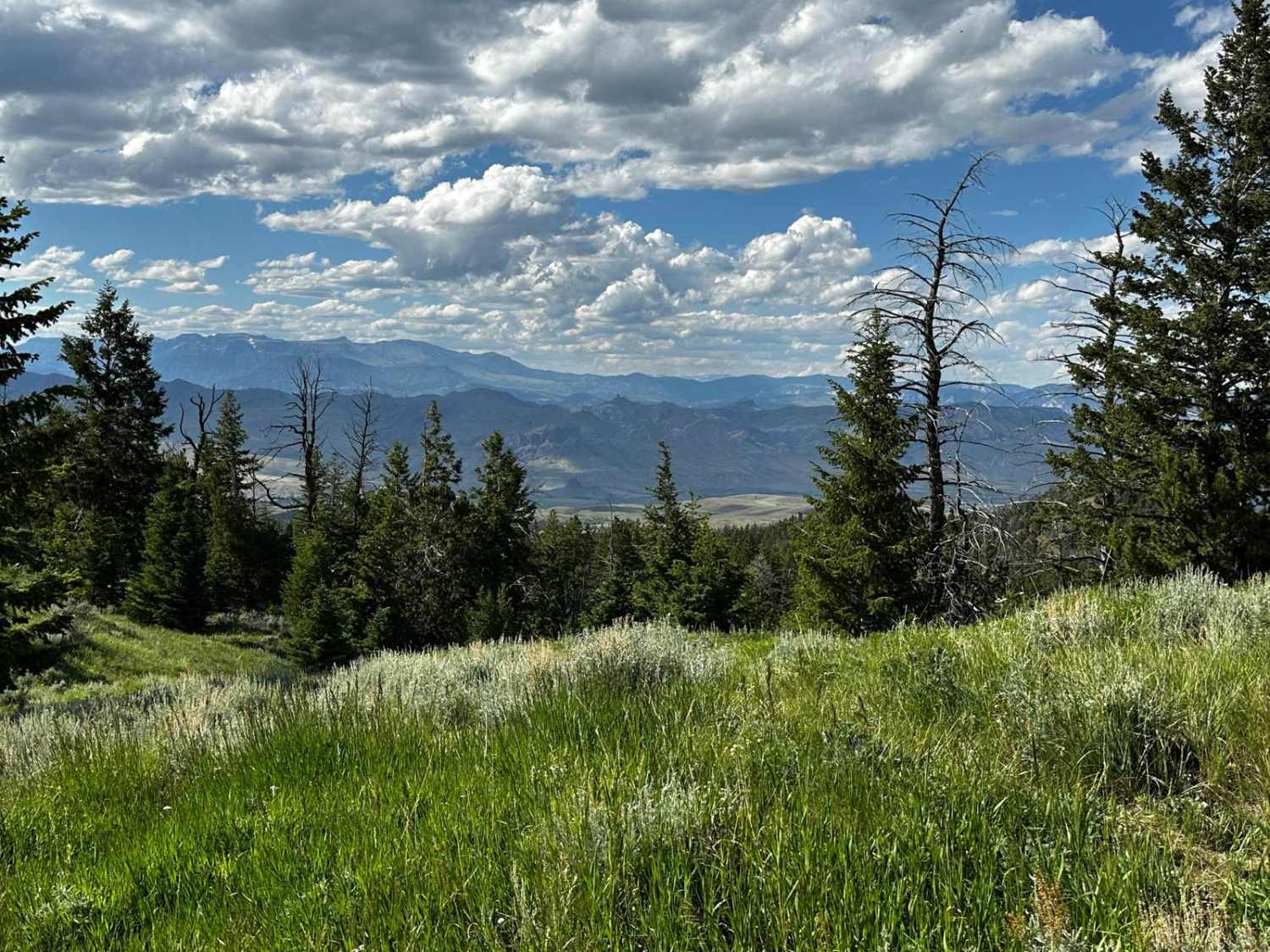
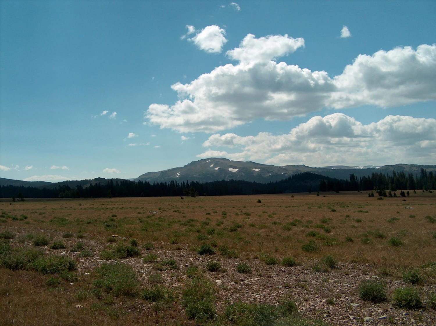
Carter Mountain Access Road travels approximately 11 miles up the north shoulder of Carter Mountain, leading to wonderful views, lakes, streams, and open meadows. Wildlife and wildflowers are in abundance. Evidence of old logging activity can be found in the numerous cross-cut sawed stumps. Some historical structures can be seen from the trail.
Photos of Carter Mountain Access
Difficulty
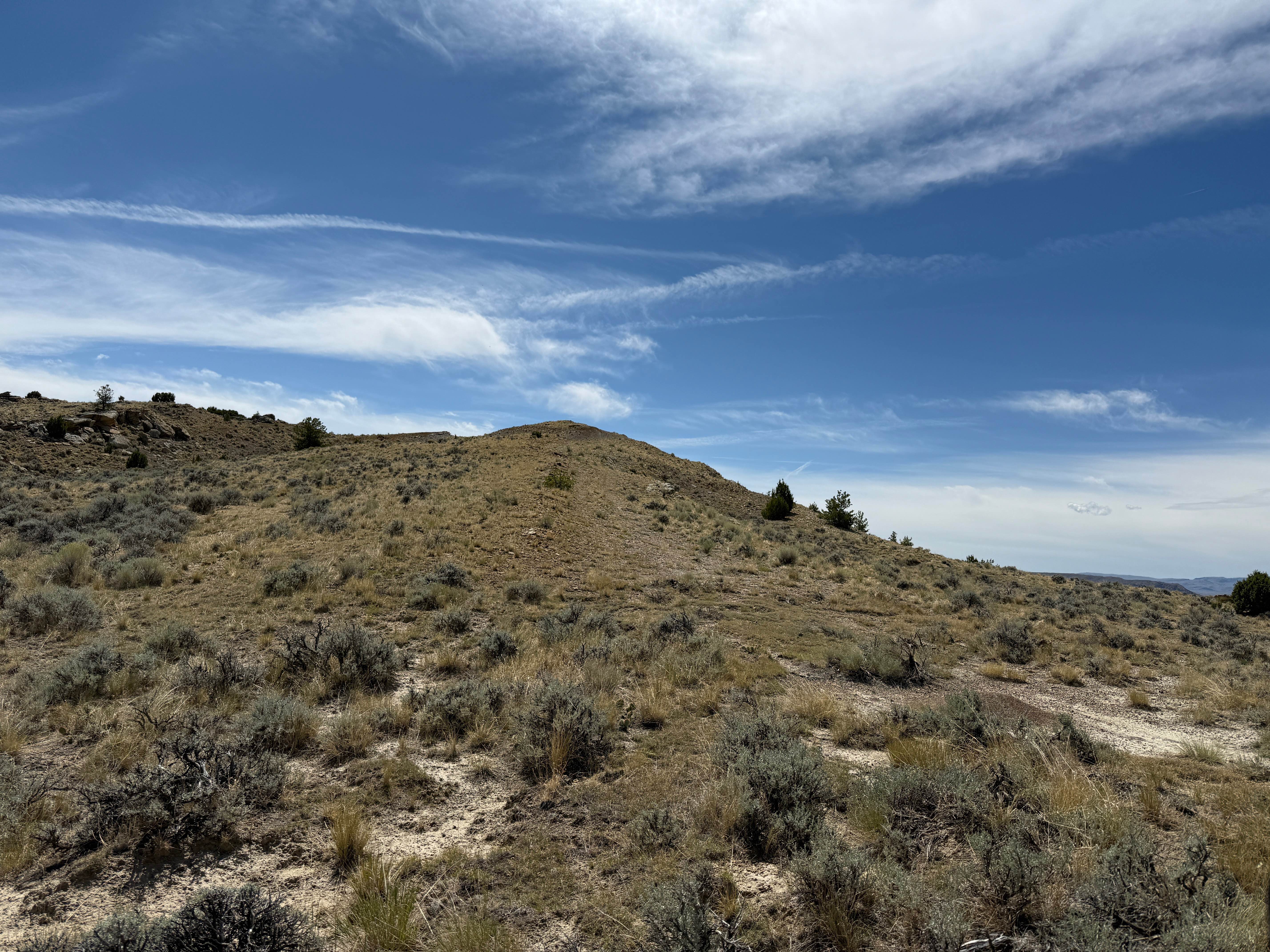
The first few miles are an easy graded gravel road, turning into dirt and rocks with a couple of mud holes.
History
This route is a historical logging access route. The north side of Carter Mountain holds moisture, allowing for many, many trees to take hold. Cedar, fir, pine, and aspen trees are abundant near the base of the sheer rock face of the giant Carter Mountain. Springs, streams, and small ponds dot the landscape, making this area a refuge for wildlife. Bears are abundant; remember to take proper food storage and safety precautions.
Status Reports
Carter Mountain Access can be accessed by the following ride types:
- High-Clearance 4x4
- SUV
- SxS (60")
- ATV (50")
- Dirt Bike
Carter Mountain Access Map
Popular Trails

Baldy Mountain Lookout

Fools Creek (FSR 178) - Ice Creek (FSR 142)
The onX Offroad Difference
onX Offroad combines trail photos, descriptions, difficulty ratings, width restrictions, seasonality, and more in a user-friendly interface. Available on all devices, with offline access and full compatibility with CarPlay and Android Auto. Discover what you’re missing today!