Beaver Creek 4WD (FS 366)
Total Miles
5.6
Technical Rating
Best Time
Spring, Summer, Fall
Trail Type
High-Clearance 4x4 Trail
Accessible By
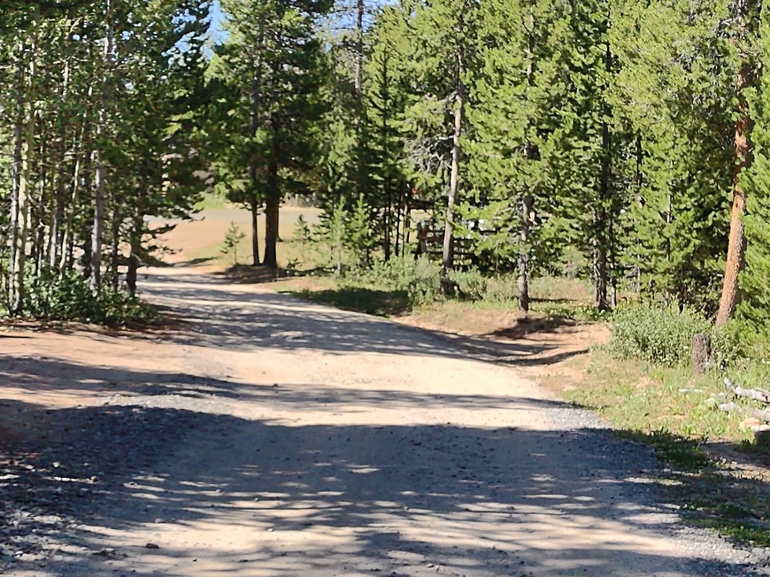
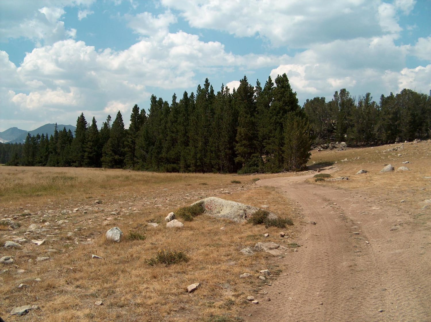
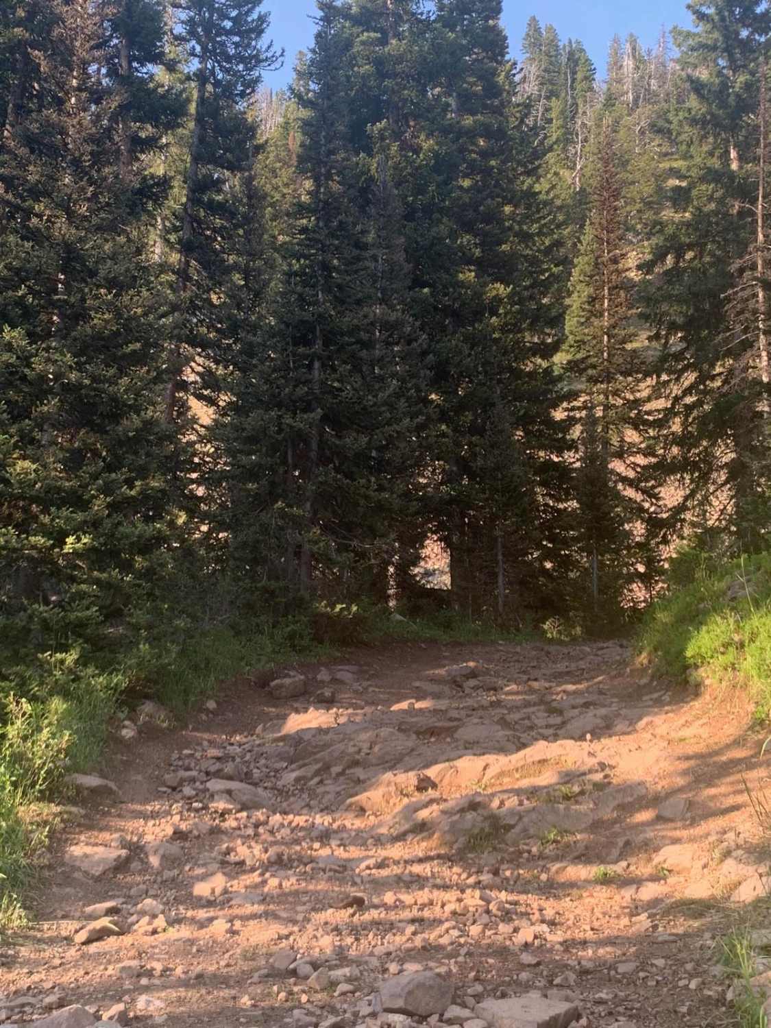
Trail Overview
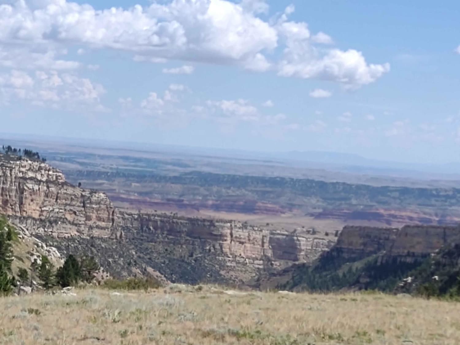
This trail connects Limestone Mountain Road at its east end with Little Rock Trail and Christina Lake Trail on its west end. There are amazing places to camp near the east end of this trail. You wind through the trees in places and cross sagebrush flats in others. The trail is rocky in several places, and there are some hills to navigate, but it's an easy trail. There may be puddles due to recent rain. The views of the Wind River Range and the Shoshone National Forest in the distance are beautiful.
Photos of Beaver Creek 4WD (FS 366)
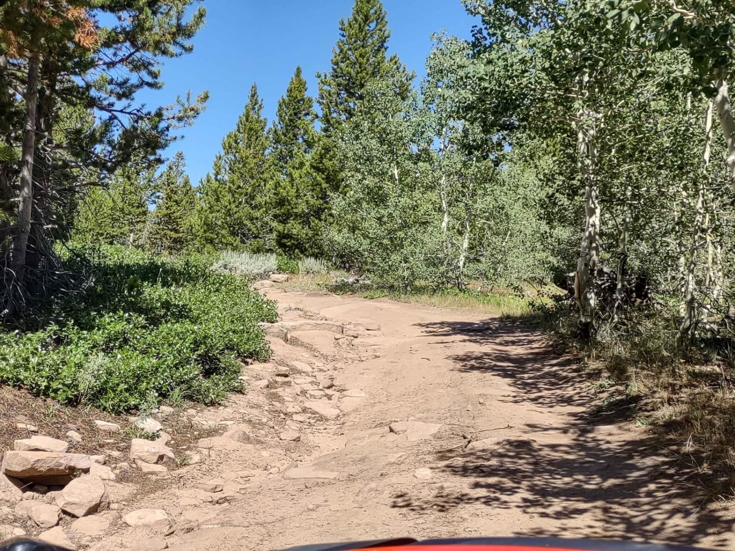
Difficulty
The trail has some hills and gullies, there are some loose rocks in places, and there's a likelihood of mud puddles.
Status Reports
Beaver Creek 4WD (FS 366) can be accessed by the following ride types:
- High-Clearance 4x4
- SxS (60")
- ATV (50")
- Dirt Bike
Beaver Creek 4WD (FS 366) Map
Popular Trails
Outlaw Canyon Rim
Christina Lake
The onX Offroad Difference
onX Offroad combines trail photos, descriptions, difficulty ratings, width restrictions, seasonality, and more in a user-friendly interface. Available on all devices, with offline access and full compatibility with CarPlay and Android Auto. Discover what you’re missing today!