West Adobe Town Rim
Total Miles
10.3
Technical Rating
Best Time
Spring, Summer, Fall
Trail Type
Full-Width Road
Accessible By
Trail Overview
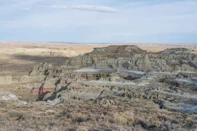
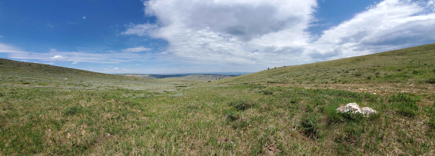
The Adobe Town Rim Road is a connector trail between the north and west rims of the Adobe Town Wilderness Study Area. The trail traverses the top of a rock bluff for a few miles with expansive views to the west before rejoining the Adobe Town rim for the last few miles. When traveling along the rim, all land to the east of the trail is a Wilderness Study Area closed to mechanical travel.
Photos of West Adobe Town Rim
Difficulty
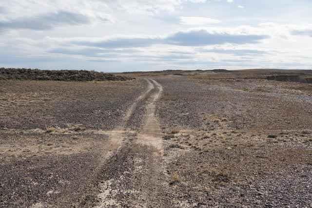
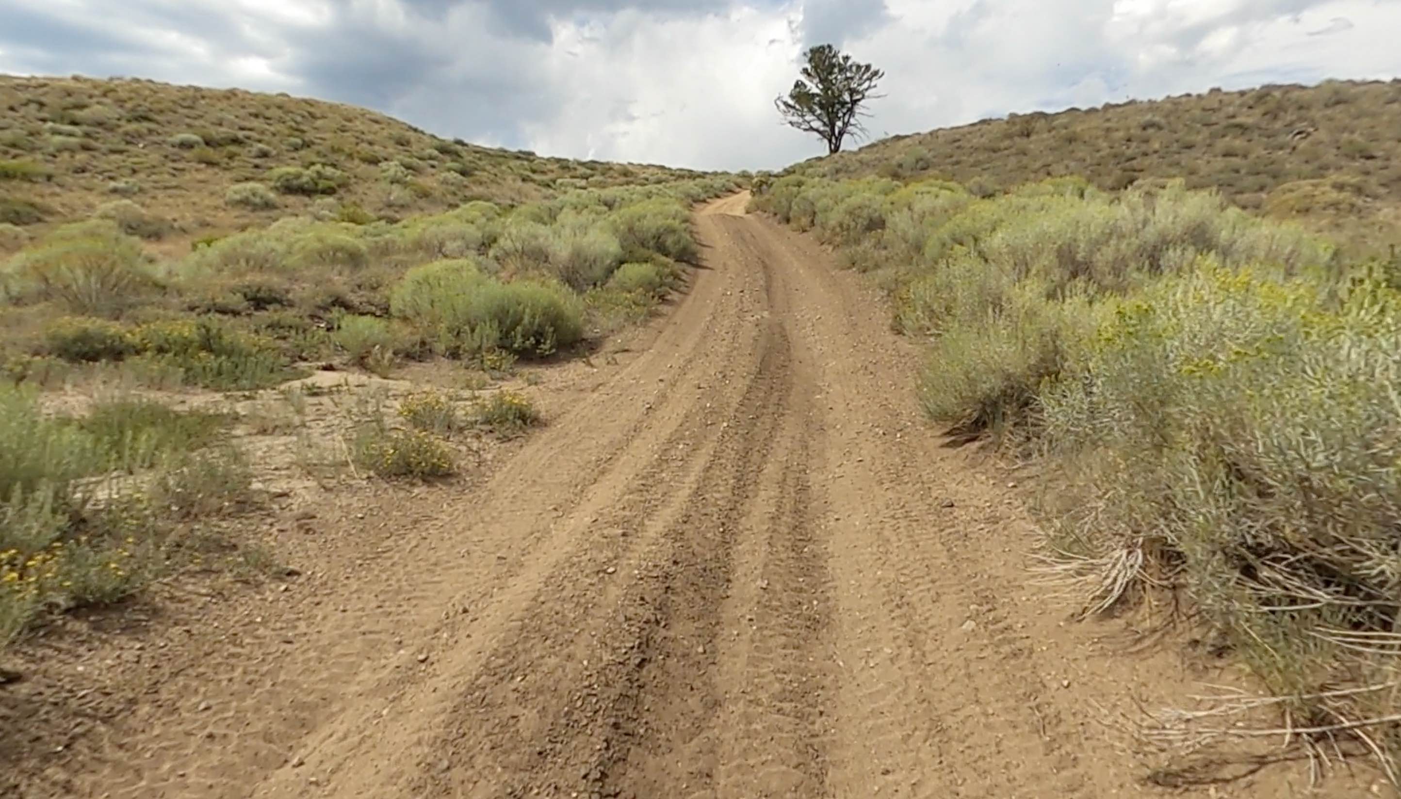
The road is mostly 1- to 4-inch rocks with occasional sandy wash sections. Sections would likely be impassable when wet and for a few days afterwards. The washes can increase in size and challenge based on precipitation. One wash can be up to 18 inches deep and require modification with a shovel before crossing with 35-inch tires.
Status Reports
West Adobe Town Rim can be accessed by the following ride types:
- High-Clearance 4x4
- SUV
- SxS (60")
- ATV (50")
- Dirt Bike
West Adobe Town Rim Map
Popular Trails

Grouse Creek Overlook Spur

The onX Offroad Difference
onX Offroad combines trail photos, descriptions, difficulty ratings, width restrictions, seasonality, and more in a user-friendly interface. Available on all devices, with offline access and full compatibility with CarPlay and Android Auto. Discover what you’re missing today!