Off-Road Trails in Idaho
Discover off-road trails in Idaho
Learn more about Poison Flats Trail Exploring
Poison Flats Trail Exploring
Total Miles
10.1
Tech Rating
Easy
Best Time
Summer, Fall
Learn more about Pole Canyon Road
Pole Canyon Road
Total Miles
8.1
Tech Rating
Easy
Best Time
Spring, Summer, Fall
Learn more about Potato Hill Connector
Potato Hill Connector
Total Miles
1.2
Tech Rating
Moderate
Best Time
Spring, Summer, Fall, Winter
Learn more about Potato Hill Road - Trail 783
Potato Hill Road - Trail 783
Total Miles
2.0
Tech Rating
Moderate
Best Time
Spring, Summer, Fall, Winter
Learn more about Potlatch River - FS 3332
Potlatch River - FS 3332
Total Miles
3.4
Tech Rating
Easy
Best Time
Spring, Summer, Fall, Winter
Learn more about Potter Creek - FS 911
Potter Creek - FS 911
Total Miles
9.7
Tech Rating
Easy
Best Time
Spring, Summer, Fall
Learn more about Powder Gulch 
Powder Gulch
Total Miles
2.9
Tech Rating
Easy
Best Time
Spring, Summer, Fall
Learn more about Power Line Access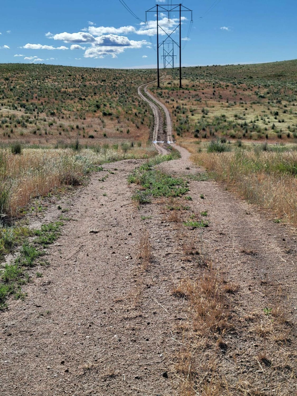
Power Line Access
Total Miles
2.3
Tech Rating
Easy
Best Time
Fall, Summer

Learn more about Presby Creek Trail
Presby Creek Trail
Total Miles
2.8
Tech Rating
Moderate
Best Time
Spring, Summer, Fall
Learn more about Pritchert Springs West #5213 
Pritchert Springs West #5213
Total Miles
0.8
Tech Rating
Easy
Best Time
Summer, Fall
Learn more about Pumpjack Plateau
Pumpjack Plateau
Total Miles
5.9
Tech Rating
Easy
Best Time
Spring, Summer, Fall
Learn more about Quartz Creek 416
Quartz Creek 416
Total Miles
3.2
Tech Rating
Easy
Best Time
Spring, Summer, Fall, Winter
Learn more about Queen - Agency ATV Route
Queen - Agency ATV Route
Total Miles
4.9
Tech Rating
Easy
Best Time
Spring, Summer, Fall
Learn more about Rabbit Creek Road
Rabbit Creek Road
Total Miles
34.5
Tech Rating
Easy
Best Time
Fall, Summer, Spring
Learn more about Rabbit Foot Mine Trail
Rabbit Foot Mine Trail
Total Miles
5.1
Tech Rating
Moderate
Best Time
Summer, Fall
ATV trails in Idaho
Learn more about Aspen Range - Middle Sulphur #5248 
Aspen Range - Middle Sulphur #5248
Total Miles
1.9
Tech Rating
Easy
Best Time
Summer, Fall
Learn more about Dry Fork - Meadow Springs #5226 
Dry Fork - Meadow Springs #5226
Total Miles
0.4
Tech Rating
Easy
Best Time
Summer, Fall
Learn more about South Foothill Road
South Foothill Road
Total Miles
8.2
Tech Rating
Moderate
Best Time
Summer, Fall

UTV/side-by-side trails in Idaho
Learn more about South Foothill Road
South Foothill Road
Total Miles
8.2
Tech Rating
Moderate
Best Time
Summer, Fall

Learn more about 21 To Nip & Tuck
21 To Nip & Tuck
Total Miles
1.4
Tech Rating
Easy
Best Time
Fall, Summer, Spring

The onX Offroad Difference
onX Offroad combines trail photos, descriptions, difficulty ratings, width restrictions, seasonality, and more in a user-friendly interface. Available on all devices, with offline access and full compatibility with CarPlay and Android Auto. Discover what you’re missing today!