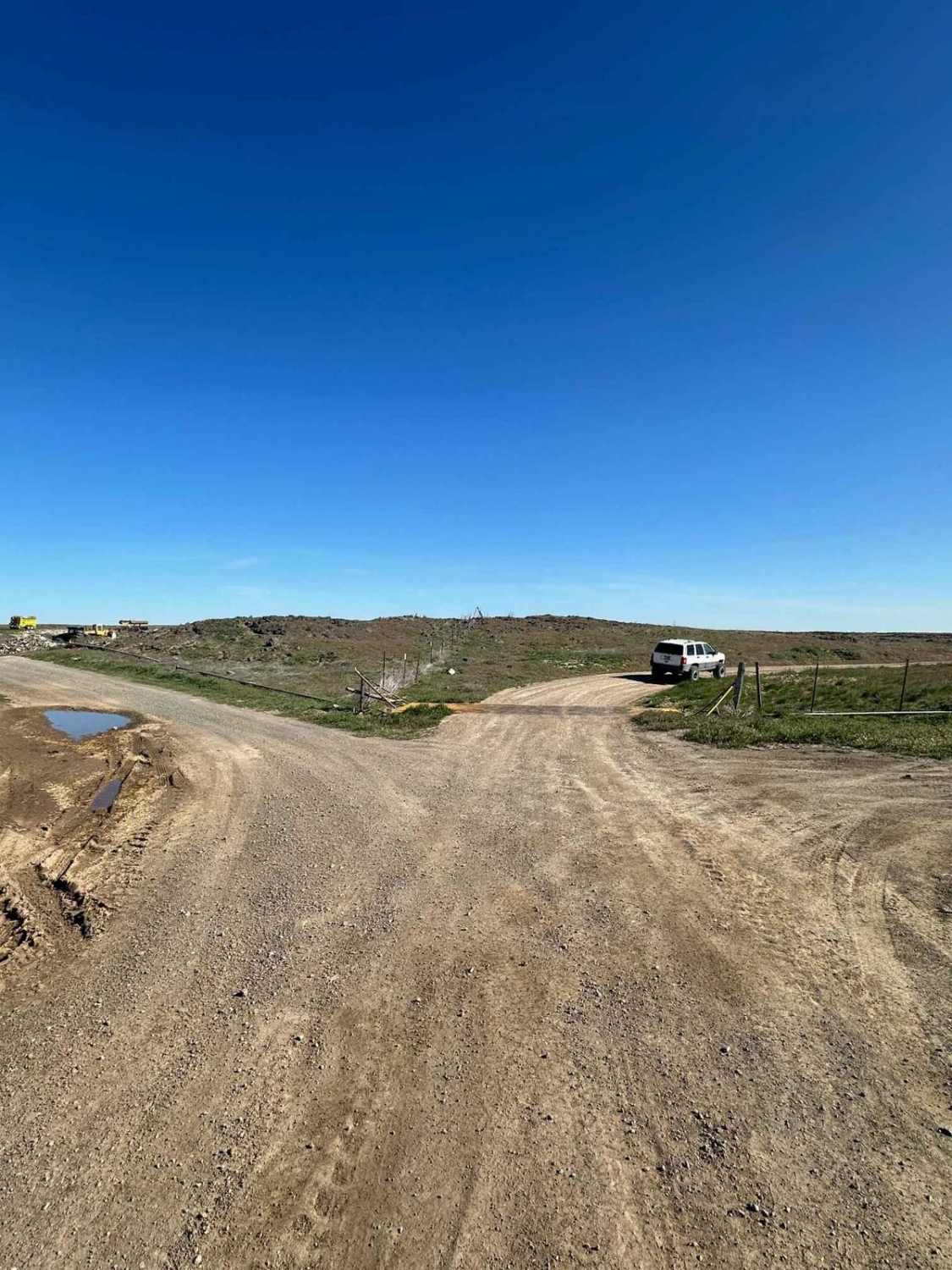
Off-Road Trails in Idaho
Discover off-road trails in Idaho
Learn more about Willow Creek to Caribou Mountain FS#50018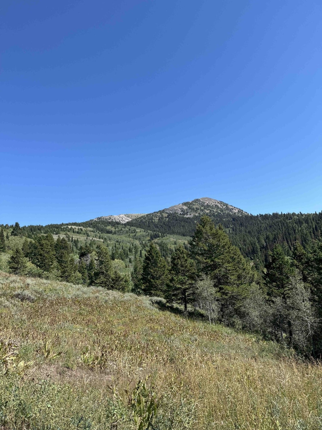
Willow Creek to Caribou Mountain FS#50018
Total Miles
4.3
Tech Rating
Moderate
Best Time
Spring, Summer, Fall

Learn more about Wind River- NF 1614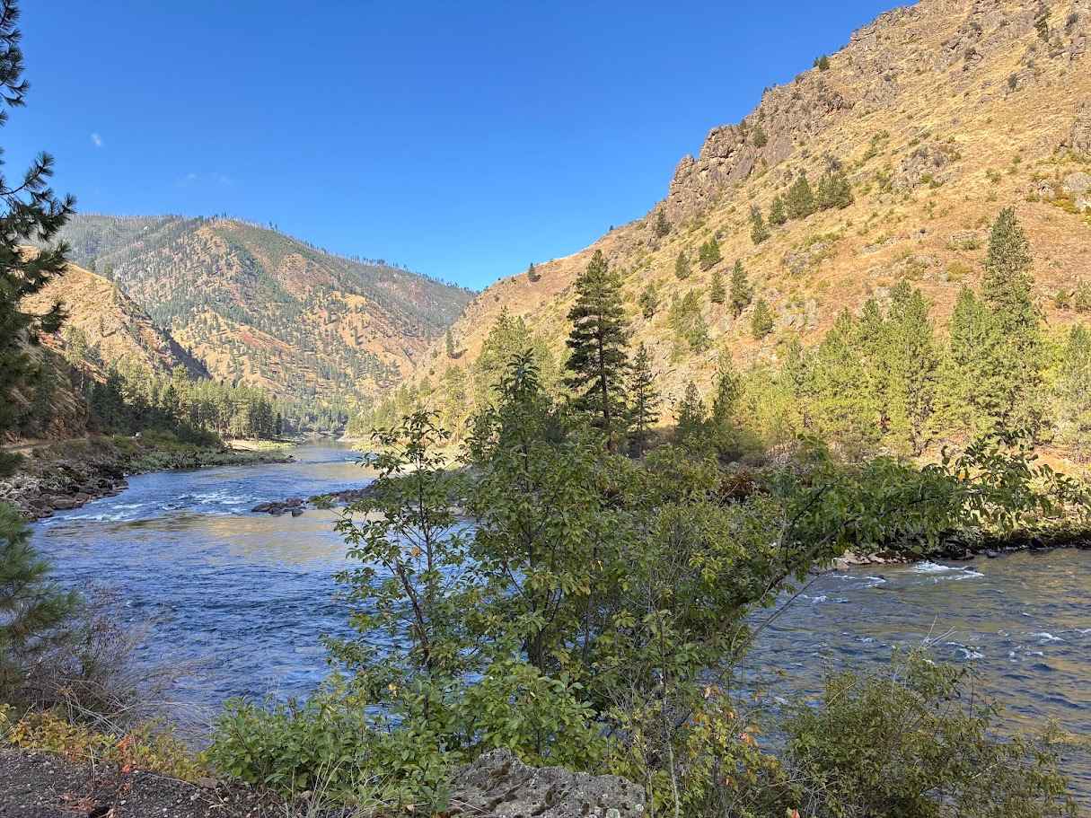
Wind River- NF 1614
Total Miles
7.7
Tech Rating
Easy
Best Time
Spring, Summer, Fall, Winter
Learn more about Windy Devil - Horseshoe Canyon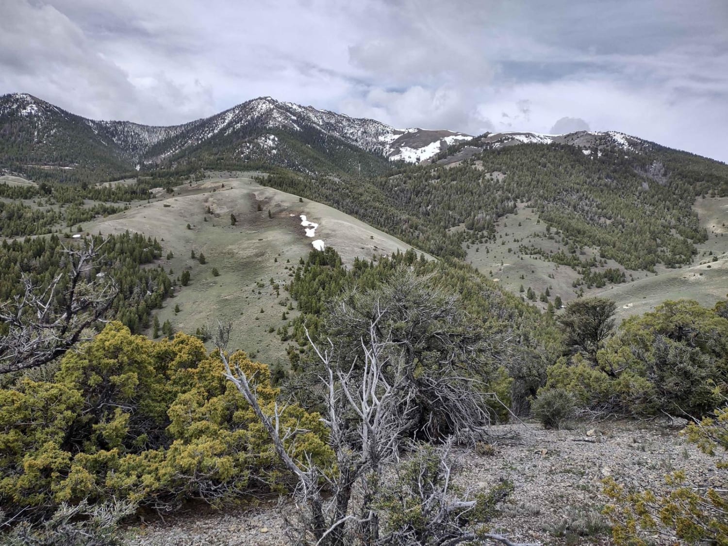
Windy Devil - Horseshoe Canyon
Total Miles
1.4
Tech Rating
Easy
Best Time
Spring, Summer, Fall
Learn more about Wolf Lodge 202
Wolf Lodge 202
Total Miles
12.9
Tech Rating
Easy
Best Time
Spring, Summer, Fall, Winter
Learn more about Wolftone - Curran 
Wolftone - Curran
Total Miles
5.6
Tech Rating
Moderate
Best Time
Fall, Spring, Summer
Learn more about Wood Canyon Loop #5249
Wood Canyon Loop #5249
Total Miles
2.3
Tech Rating
Easy
Best Time
Summer, Fall
Learn more about Wood Canyon to Arco Pass
Wood Canyon to Arco Pass
Total Miles
3.5
Tech Rating
Easy
Best Time
Spring, Summer, Fall
Learn more about Yearian Creek Road
Yearian Creek Road
Total Miles
7.8
Tech Rating
Easy
Best Time
Spring, Summer, Fall
Learn more about Yellow Belly Lake and Hiking Trails
Yellow Belly Lake and Hiking Trails
Total Miles
3.4
Tech Rating
Easy
Best Time
Spring, Summer, Fall
Learn more about Yellow Pine Ridge
Yellow Pine Ridge
Total Miles
3.5
Tech Rating
Moderate
Best Time
Spring, Summer, Fall
ATV trails in Idaho
Learn more about Aspen Range - Middle Sulphur #5248 
Aspen Range - Middle Sulphur #5248
Total Miles
1.9
Tech Rating
Easy
Best Time
Summer, Fall
Learn more about Dry Fork - Meadow Springs #5226 
Dry Fork - Meadow Springs #5226
Total Miles
0.4
Tech Rating
Easy
Best Time
Summer, Fall
Learn more about South Foothill Road
South Foothill Road
Total Miles
8.2
Tech Rating
Moderate
Best Time
Summer, Fall

UTV/side-by-side trails in Idaho
Learn more about South Foothill Road
South Foothill Road
Total Miles
8.2
Tech Rating
Moderate
Best Time
Summer, Fall

Learn more about 21 To Nip & Tuck
21 To Nip & Tuck
Total Miles
1.4
Tech Rating
Easy
Best Time
Fall, Summer, Spring

The onX Offroad Difference
onX Offroad combines trail photos, descriptions, difficulty ratings, width restrictions, seasonality, and more in a user-friendly interface. Available on all devices, with offline access and full compatibility with CarPlay and Android Auto. Discover what you’re missing today!