Wind River- NF 1614
Total Miles
7.7
Technical Rating
Best Time
Spring, Summer, Fall, Winter
Trail Type
Full-Width Road
Accessible By
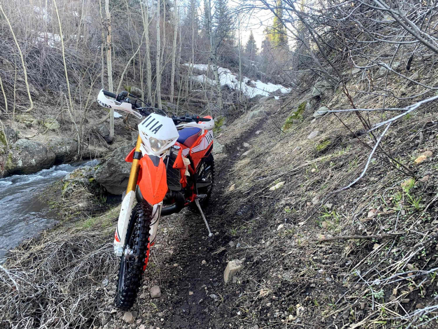
Trail Overview
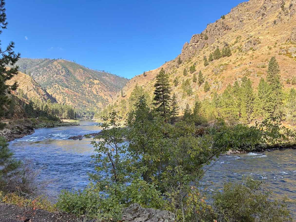
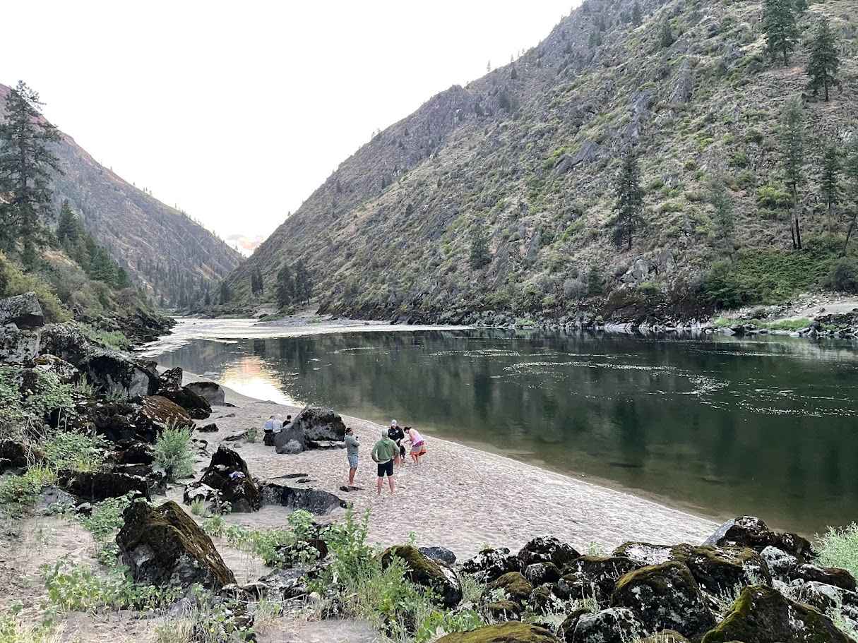
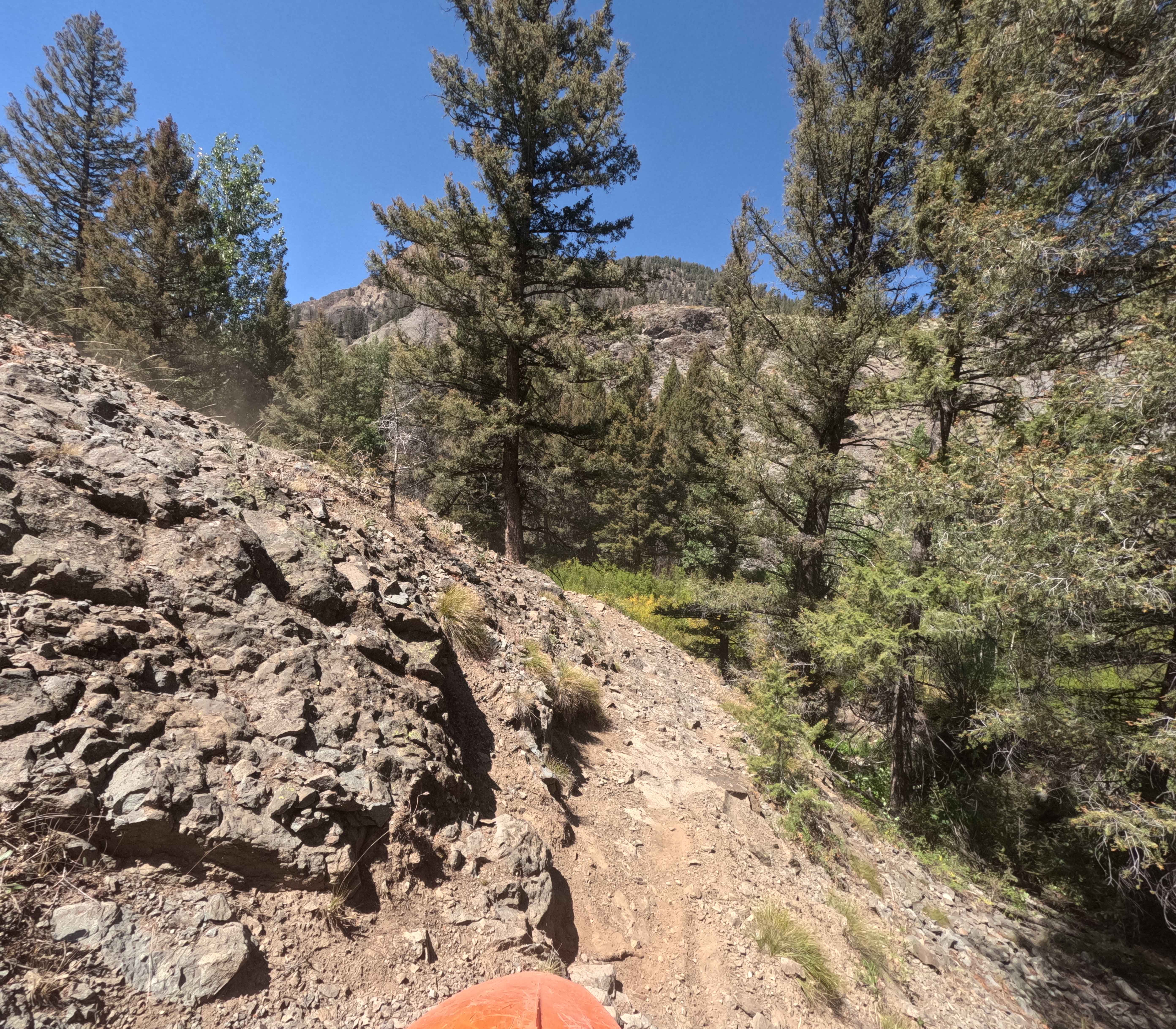
NF-1614, also known as Salmon River Road, winds upstream from Riggins along the Wild & Scenic Salmon River, delivering sweeping canyon vistas and constant views of the river's rapids. The drive is mostly graded gravel, with stretches of potholes, washboards, and narrow shelf roads where rockfall is possible, making high-clearance or 4x4 a good idea beyond the main paved sections. Along the way, you'll pass multiple river access points, including well-known boat launches like Spring Bar and Vinegar Creek, where outfitters load rafts and sandy beaches invite picnics. One must-stop highlight is the Wind River Footbridge, a historic pedestrian suspension bridge with great photo opportunities. Wildlife such as bighorn sheep, osprey, and eagles are often spotted, and dispersed campsites plus a few designated camp areas provide riverside overnight options. The route is best traveled April through October, with cell service spotty, so download onX maps in advance.
Photos of Wind River- NF 1614
Difficulty
The trail is easy with conditions varying seasonally. Beware of other vehicles as the road is narrow in many areas.
History
The Salmon River Road (NF-1614) traces a corridor that's been a lifeline through Idaho's Salmon River Canyon for well over a century. Before modern vehicles, this route began as a rough pack trail used by the Nez Perce and other Native peoples for seasonal travel and trade. In the mid-to-late 1800s, prospectors and miners pushed deep into the canyon in search of gold, silver, and other minerals, leading to small placer mining camps along the river's gravel bars. These early operations left behind tailings, cabin ruins, and equipment fragments still visible in spots today. The steep canyon also supported timber harvests, with logs occasionally floated downriver or trucked out on primitive roads cut into the cliffs. By the early 1900s, the route began to improve, driven by mining supply needs and the growth of isolated ranching communities. In the 20th century, the U.S. Forest Service formalized it into a single-lane gravel road, serving both as access for outfitters running multi-day river trips and as a critical connection for residents. Today, while commercial mining and large-scale logging have faded, NF-1614 remains a vital recreational and service road, its history layered into the very cuts, grades, and bridges that make it possible.
Status Reports
Wind River- NF 1614 can be accessed by the following ride types:
- High-Clearance 4x4
- SUV
- SxS (60")
- ATV (50")
- Dirt Bike
Wind River- NF 1614 Map
Popular Trails
Germania Creek - FS 7111
Caribou City Trail #165

The onX Offroad Difference
onX Offroad combines trail photos, descriptions, difficulty ratings, width restrictions, seasonality, and more in a user-friendly interface. Available on all devices, with offline access and full compatibility with CarPlay and Android Auto. Discover what you’re missing today!