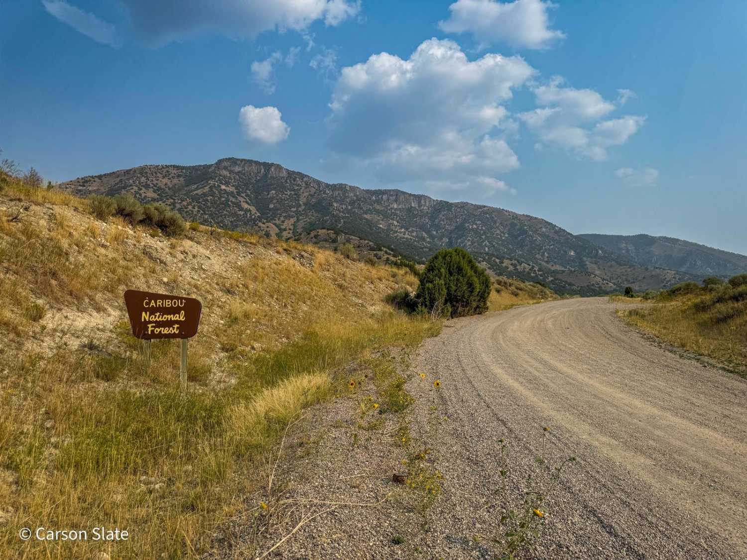
Off-Road Trails in Idaho
Discover off-road trails in Idaho
Learn more about Trail Creek Pass 408/208
Trail Creek Pass 408/208
Total Miles
11.3
Tech Rating
Easy
Best Time
Spring, Summer, Fall
Learn more about Trail Hollow (Malad) 
Trail Hollow (Malad)
Total Miles
1.7
Tech Rating
Easy
Best Time
Fall, Spring, Summer
Learn more about Trail Hollow #3368
Trail Hollow #3368
Total Miles
4.4
Tech Rating
Easy
Best Time
Summer, Fall
Learn more about Trail Hollow to Maple Hollow 
Trail Hollow to Maple Hollow
Total Miles
2.6
Tech Rating
Easy
Best Time
Spring, Fall, Summer
Learn more about Trapper Creek - FS533
Trapper Creek - FS533
Total Miles
5.1
Tech Rating
Easy
Best Time
Spring, Fall, Summer
Learn more about Trappers Cabin #3561A
Trappers Cabin #3561A
Total Miles
0.9
Tech Rating
Moderate
Best Time
Summer, Fall
Learn more about Treasure Gulch - FS 1418
Treasure Gulch - FS 1418
Total Miles
2.9
Tech Rating
Easy
Best Time
Summer, Fall
Learn more about Tree Line Ride
Tree Line Ride
Total Miles
2.7
Tech Rating
Easy
Best Time
Spring, Summer, Fall
Learn more about Trestle Creek Trail
Trestle Creek Trail
Total Miles
15.7
Tech Rating
Easy
Best Time
Fall, Summer, Spring
Learn more about Trinity Lakes Mountain Trail
Trinity Lakes Mountain Trail
Total Miles
11.6
Tech Rating
Easy
Best Time
Spring, Summer
Learn more about Trout Creek of the Selkirk
Trout Creek of the Selkirk
Total Miles
9.0
Tech Rating
Easy
Best Time
Summer
Learn more about Twin Peaks Lookout Tower
Twin Peaks Lookout Tower
Total Miles
3.2
Tech Rating
Moderate
Best Time
Summer, Fall
Learn more about Two Tops Canyon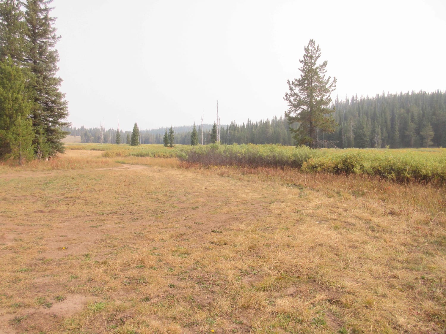
Two Tops Canyon
Total Miles
7.9
Tech Rating
Easy
Best Time
Spring, Summer, Fall
Learn more about Uncle Ike Trail
Uncle Ike Trail
Total Miles
4.3
Tech Rating
Moderate
Best Time
Summer, Fall
ATV trails in Idaho
Learn more about Aspen Range - Middle Sulphur #5248 
Aspen Range - Middle Sulphur #5248
Total Miles
1.9
Tech Rating
Easy
Best Time
Summer, Fall
Learn more about Dry Fork - Meadow Springs #5226 
Dry Fork - Meadow Springs #5226
Total Miles
0.4
Tech Rating
Easy
Best Time
Summer, Fall
Learn more about South Foothill Road
South Foothill Road
Total Miles
8.2
Tech Rating
Moderate
Best Time
Summer, Fall

UTV/side-by-side trails in Idaho
Learn more about South Foothill Road
South Foothill Road
Total Miles
8.2
Tech Rating
Moderate
Best Time
Summer, Fall

Learn more about 21 To Nip & Tuck
21 To Nip & Tuck
Total Miles
1.4
Tech Rating
Easy
Best Time
Fall, Summer, Spring

The onX Offroad Difference
onX Offroad combines trail photos, descriptions, difficulty ratings, width restrictions, seasonality, and more in a user-friendly interface. Available on all devices, with offline access and full compatibility with CarPlay and Android Auto. Discover what you’re missing today!