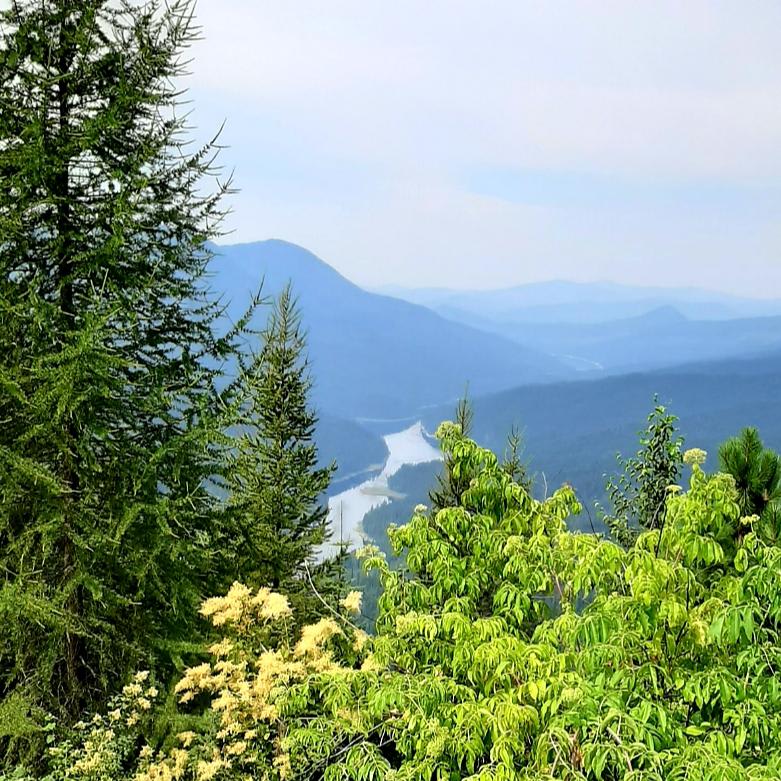
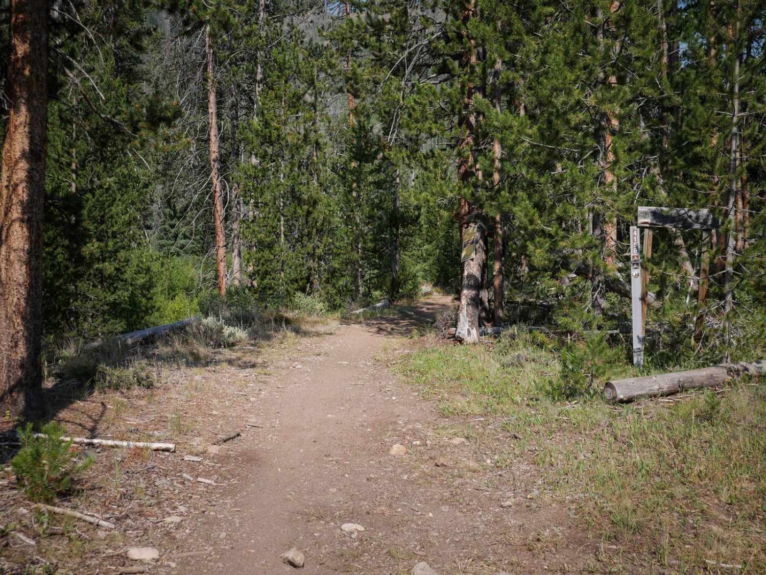
Off-Road Trails in Idaho
Discover off-road trails in Idaho
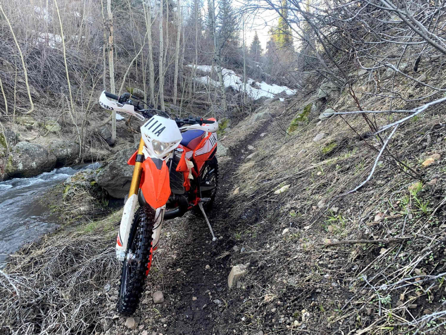
Learn more about Route 352 to Chinese Peak
Route 352 to Chinese Peak
Total Miles
3.4
Tech Rating
Moderate
Best Time
Spring
Learn more about Ruben Hollow to Davis Basin 7441 
Ruben Hollow to Davis Basin 7441
Total Miles
2.6
Tech Rating
Moderate
Best Time
Fall, Summer, Spring
Learn more about Ruben Hollow to Weston Peak 7443 
Ruben Hollow to Weston Peak 7443
Total Miles
2.9
Tech Rating
Moderate
Best Time
Fall, Summer, Spring
Learn more about Running Creek - FR357
Running Creek - FR357
Total Miles
16.3
Tech Rating
Moderate
Best Time
Summer
Learn more about Sadorus Hill Road (20169)
Sadorus Hill Road (20169)
Total Miles
10.0
Tech Rating
Easy
Best Time
Fall, Summer, Spring
Learn more about Saint Joe Baldy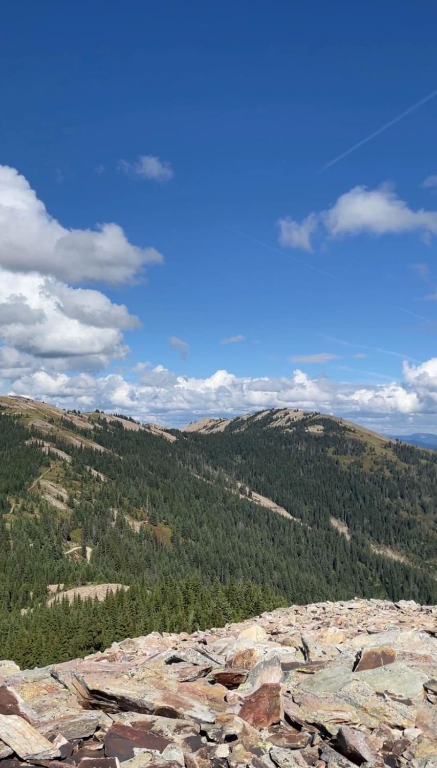
Saint Joe Baldy
Total Miles
9.2
Tech Rating
Easy
Best Time
Spring, Summer, Fall
Learn more about Salt Creek Repeater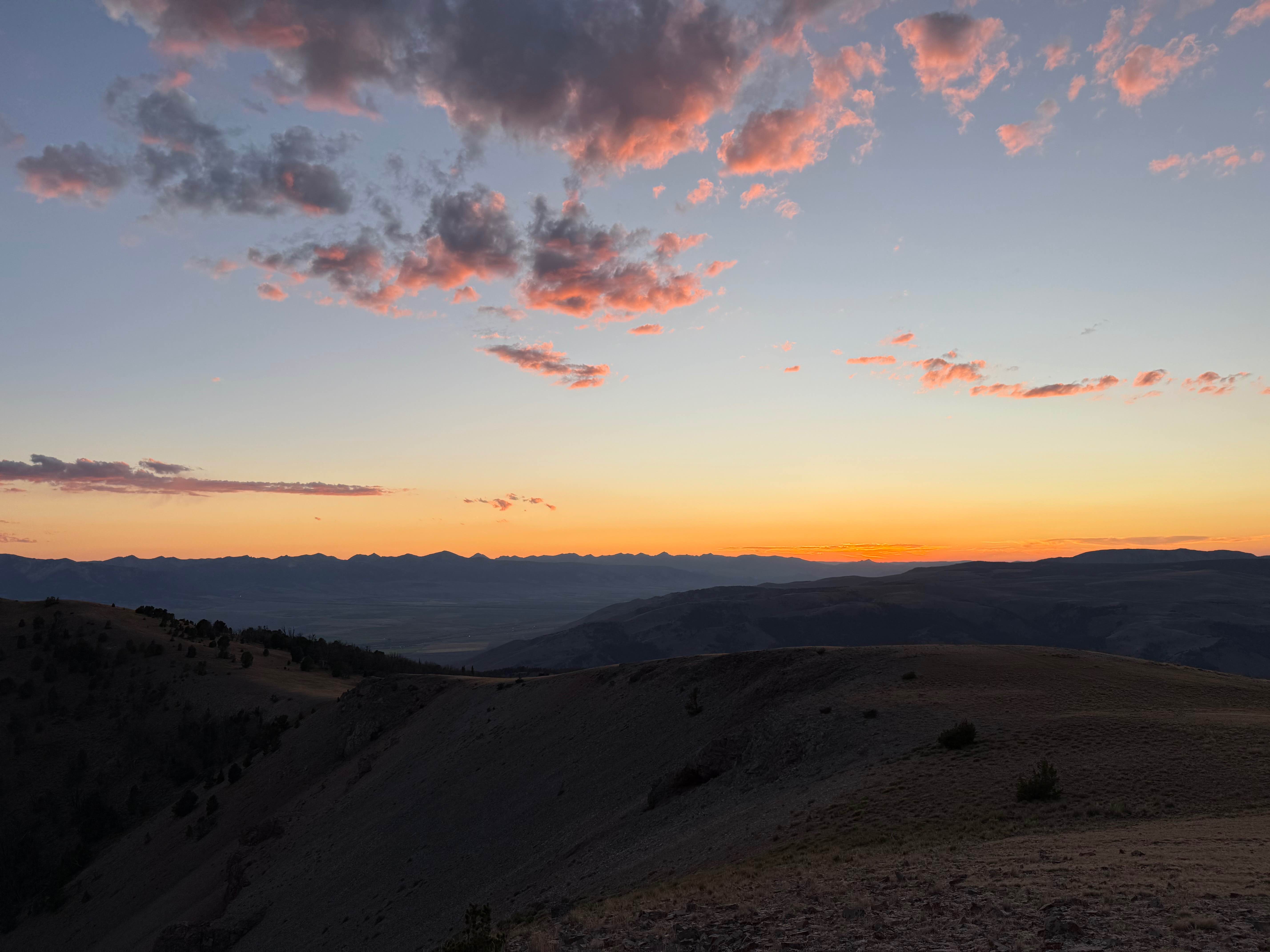
Salt Creek Repeater
Total Miles
4.3
Tech Rating
Easy
Best Time
Summer, Fall
Learn more about Sawtell Peak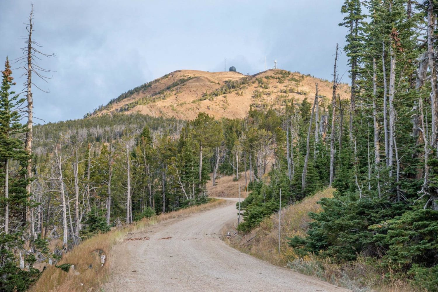
Sawtell Peak
Total Miles
9.7
Tech Rating
Easy
Best Time
Spring, Summer, Fall, Winter
Learn more about Sawtooth Mountain Views Loop
Sawtooth Mountain Views Loop
Total Miles
5.0
Tech Rating
Easy
Best Time
Summer, Fall
Learn more about Schoolhouse Gulch - FS 4761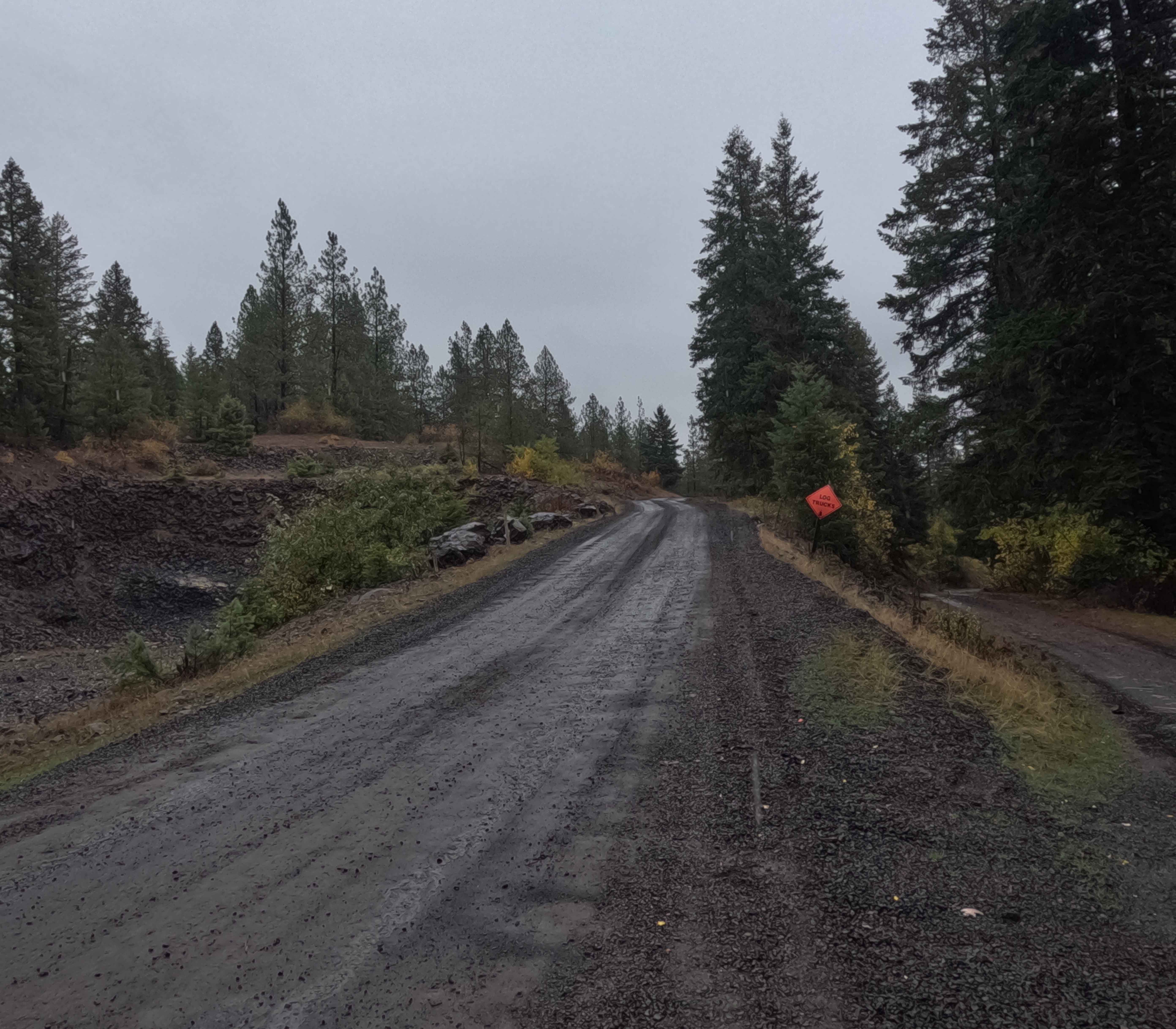
Schoolhouse Gulch - FS 4761
Total Miles
6.9
Tech Rating
Easy
Best Time
Spring, Summer, Fall, Winter
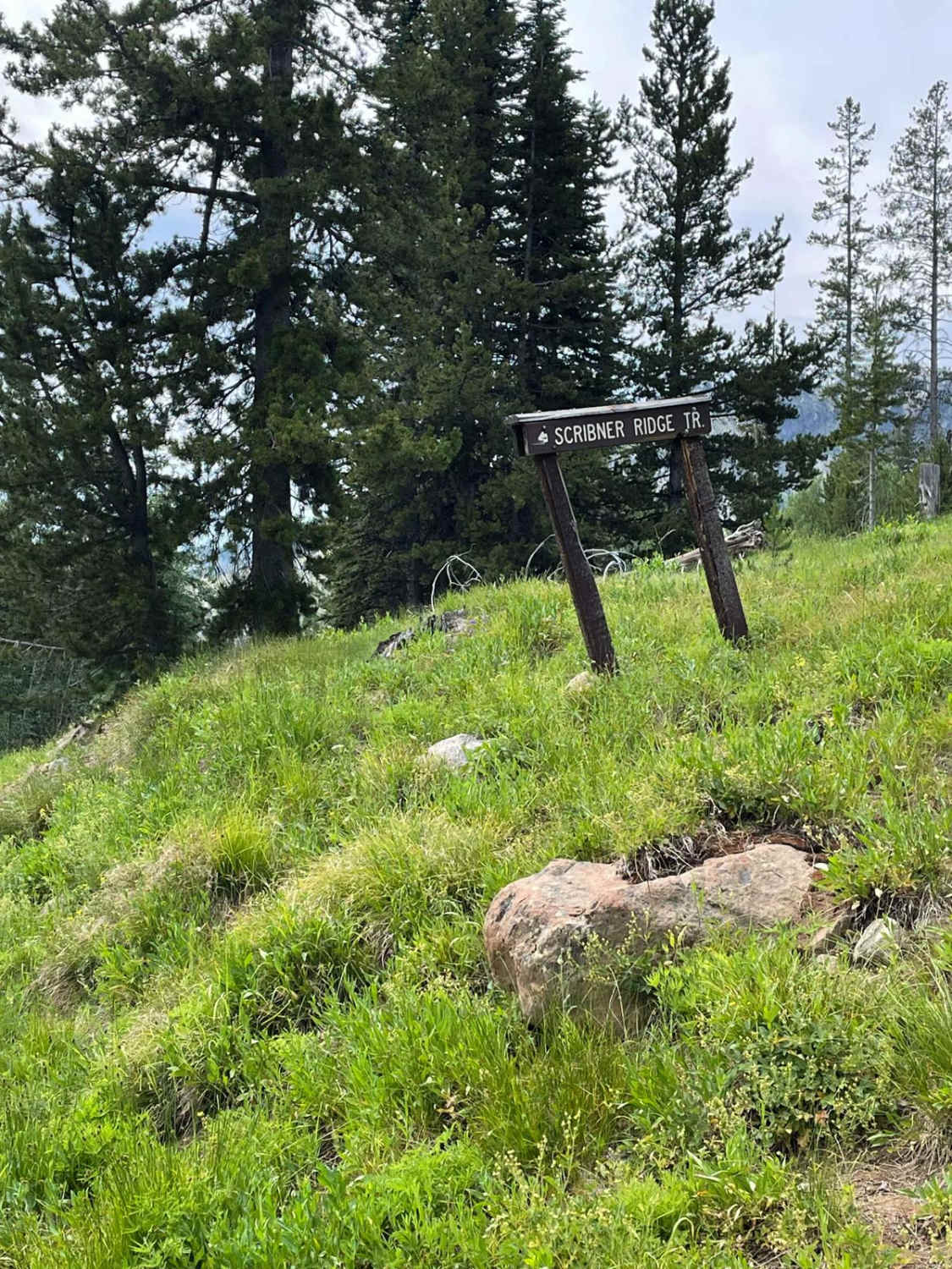
Learn more about Scout Mountain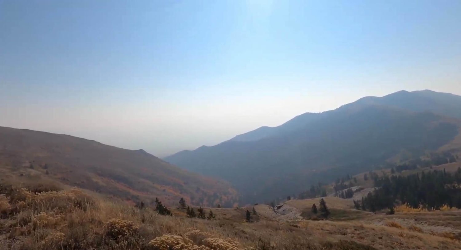
Scout Mountain
Total Miles
11.5
Tech Rating
Easy
Best Time
Spring, Summer, Fall
ATV trails in Idaho
Learn more about Aspen Range - Middle Sulphur #5248 
Aspen Range - Middle Sulphur #5248
Total Miles
1.9
Tech Rating
Easy
Best Time
Summer, Fall
Learn more about Dry Fork - Meadow Springs #5226 
Dry Fork - Meadow Springs #5226
Total Miles
0.4
Tech Rating
Easy
Best Time
Summer, Fall
Learn more about South Foothill Road
South Foothill Road
Total Miles
8.2
Tech Rating
Moderate
Best Time
Summer, Fall

UTV/side-by-side trails in Idaho
Learn more about South Foothill Road
South Foothill Road
Total Miles
8.2
Tech Rating
Moderate
Best Time
Summer, Fall

Learn more about 21 To Nip & Tuck
21 To Nip & Tuck
Total Miles
1.4
Tech Rating
Easy
Best Time
Fall, Summer, Spring

The onX Offroad Difference
onX Offroad combines trail photos, descriptions, difficulty ratings, width restrictions, seasonality, and more in a user-friendly interface. Available on all devices, with offline access and full compatibility with CarPlay and Android Auto. Discover what you’re missing today!