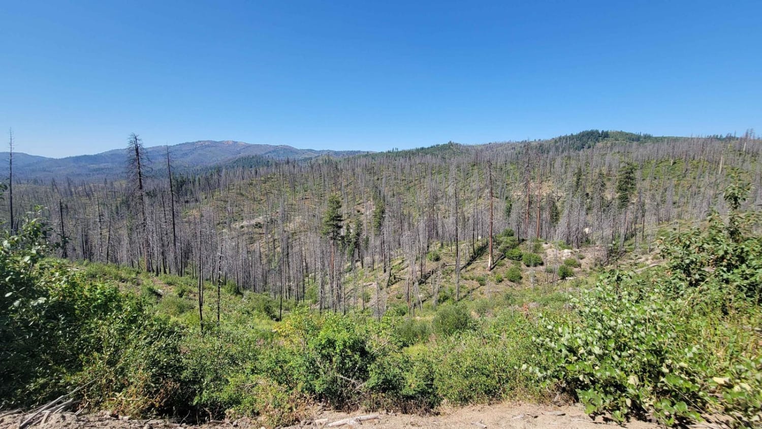
Off-Road Trails in Idaho
Discover off-road trails in Idaho
Learn more about Sheep Creek 
Sheep Creek
Total Miles
9.3
Tech Rating
Moderate
Best Time
Spring, Summer, Fall
Learn more about Sheep Drive Point Overview
Sheep Drive Point Overview
Total Miles
5.6
Tech Rating
Easy
Best Time
Summer
Learn more about Sheep Falls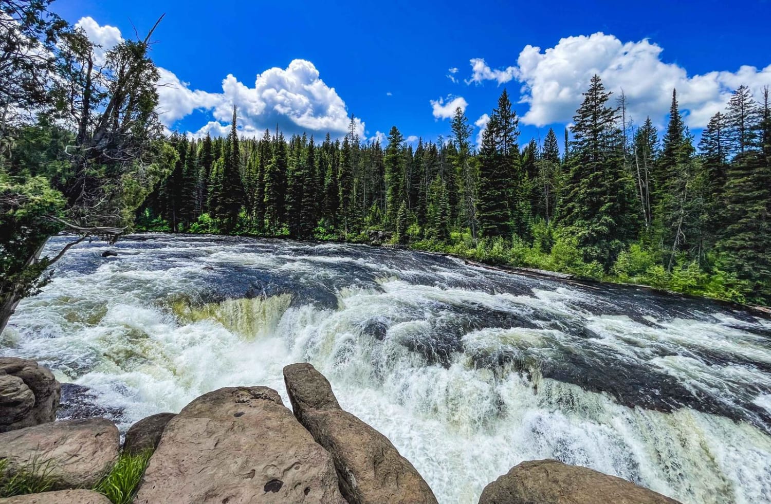
Sheep Falls
Total Miles
13.8
Tech Rating
Moderate
Best Time
Summer, Spring, Fall
Learn more about Sherman Peak #3317 
Sherman Peak #3317
Total Miles
4.5
Tech Rating
Moderate
Best Time
Summer, Fall
Learn more about Shoshone Ridge (602)
Shoshone Ridge (602)
Total Miles
10.6
Tech Rating
Easy
Best Time
Summer, Fall
Learn more about Sidewinder
Sidewinder
Total Miles
2.3
Tech Rating
Easy
Best Time
Winter, Fall, Summer, Spring
Learn more about Silverleads Ridge 
Silverleads Ridge
Total Miles
1.6
Tech Rating
Easy
Best Time
Spring, Summer
Learn more about Sinker Creek
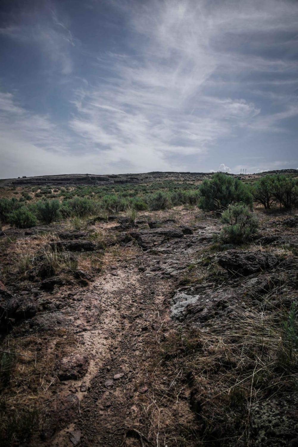
Sinker Creek
Total Miles
18.5
Tech Rating
Moderate
Best Time
Spring, Fall, Winter, Summer
Learn more about Skookum Saddle (434)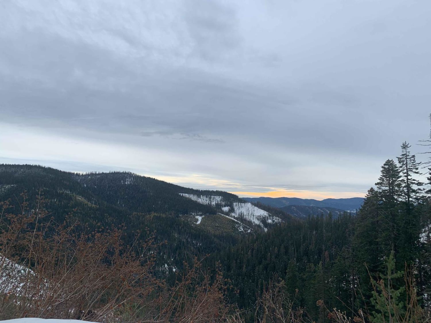
Skookum Saddle (434)
Total Miles
14.8
Tech Rating
Easy
Best Time
Summer, Fall
Learn more about Skyline Drive
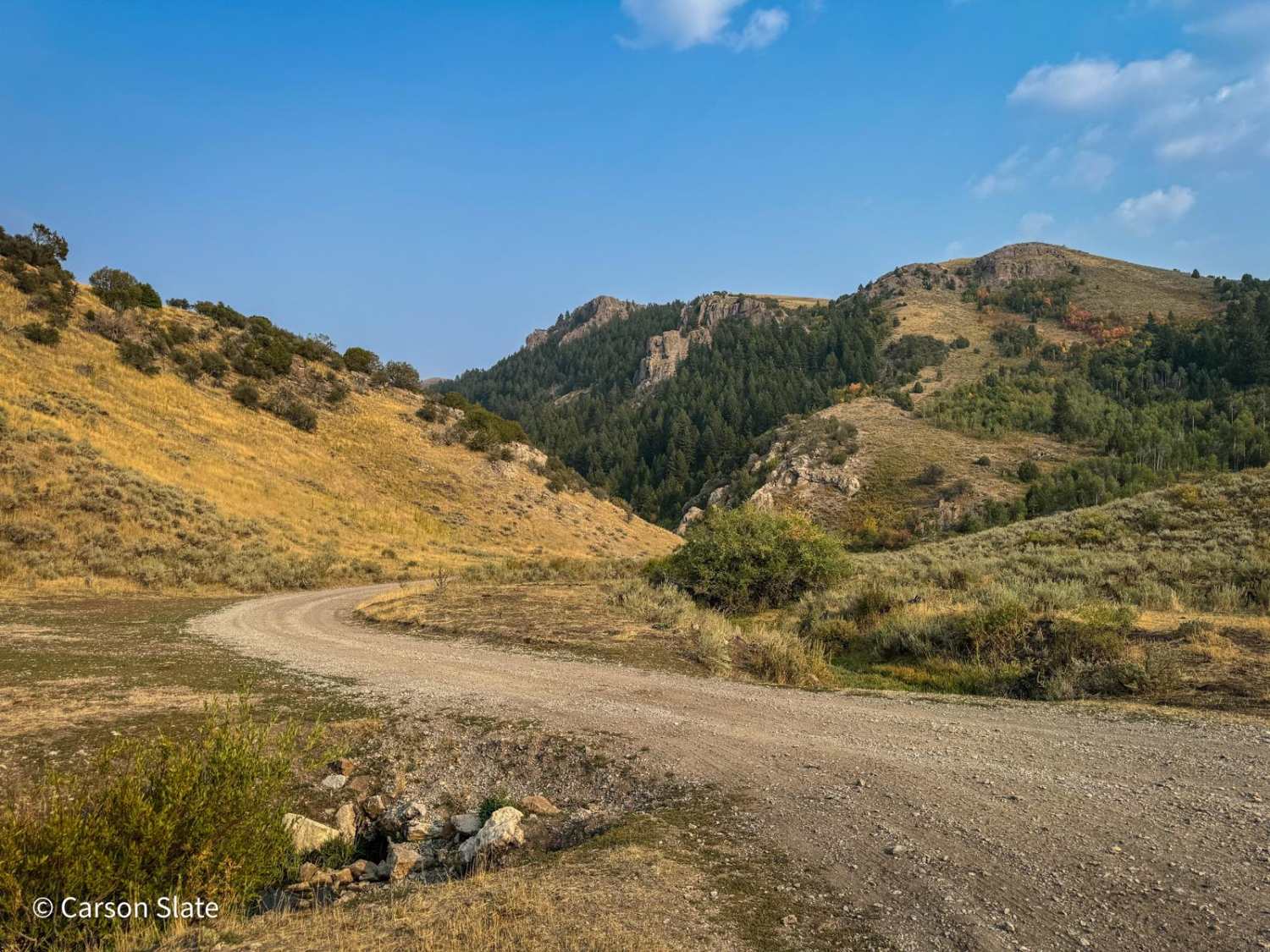
Skyline Drive
Total Miles
17.3
Tech Rating
Easy
Best Time
Spring, Summer, Fall
Learn more about Skyline Ridge - Brockman FS 40075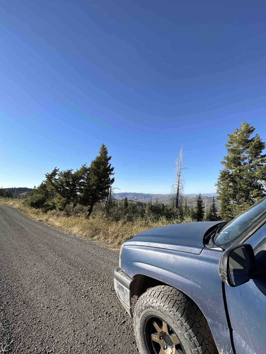
Skyline Ridge - Brockman FS 40075
Total Miles
14.4
Tech Rating
Easy
Best Time
Spring, Summer, Fall
ATV trails in Idaho
Learn more about Aspen Range - Middle Sulphur #5248 
Aspen Range - Middle Sulphur #5248
Total Miles
1.9
Tech Rating
Easy
Best Time
Summer, Fall
Learn more about Dry Fork - Meadow Springs #5226 
Dry Fork - Meadow Springs #5226
Total Miles
0.4
Tech Rating
Easy
Best Time
Summer, Fall
Learn more about South Foothill Road
South Foothill Road
Total Miles
8.2
Tech Rating
Moderate
Best Time
Summer, Fall

UTV/side-by-side trails in Idaho
Learn more about South Foothill Road
South Foothill Road
Total Miles
8.2
Tech Rating
Moderate
Best Time
Summer, Fall

Learn more about 21 To Nip & Tuck
21 To Nip & Tuck
Total Miles
1.4
Tech Rating
Easy
Best Time
Fall, Summer, Spring

The onX Offroad Difference
onX Offroad combines trail photos, descriptions, difficulty ratings, width restrictions, seasonality, and more in a user-friendly interface. Available on all devices, with offline access and full compatibility with CarPlay and Android Auto. Discover what you’re missing today!