Powerline
Total Miles
2.1
Technical Rating
Best Time
Summer, Fall
Trail Type
50" Trail
Accessible By
Trail Overview
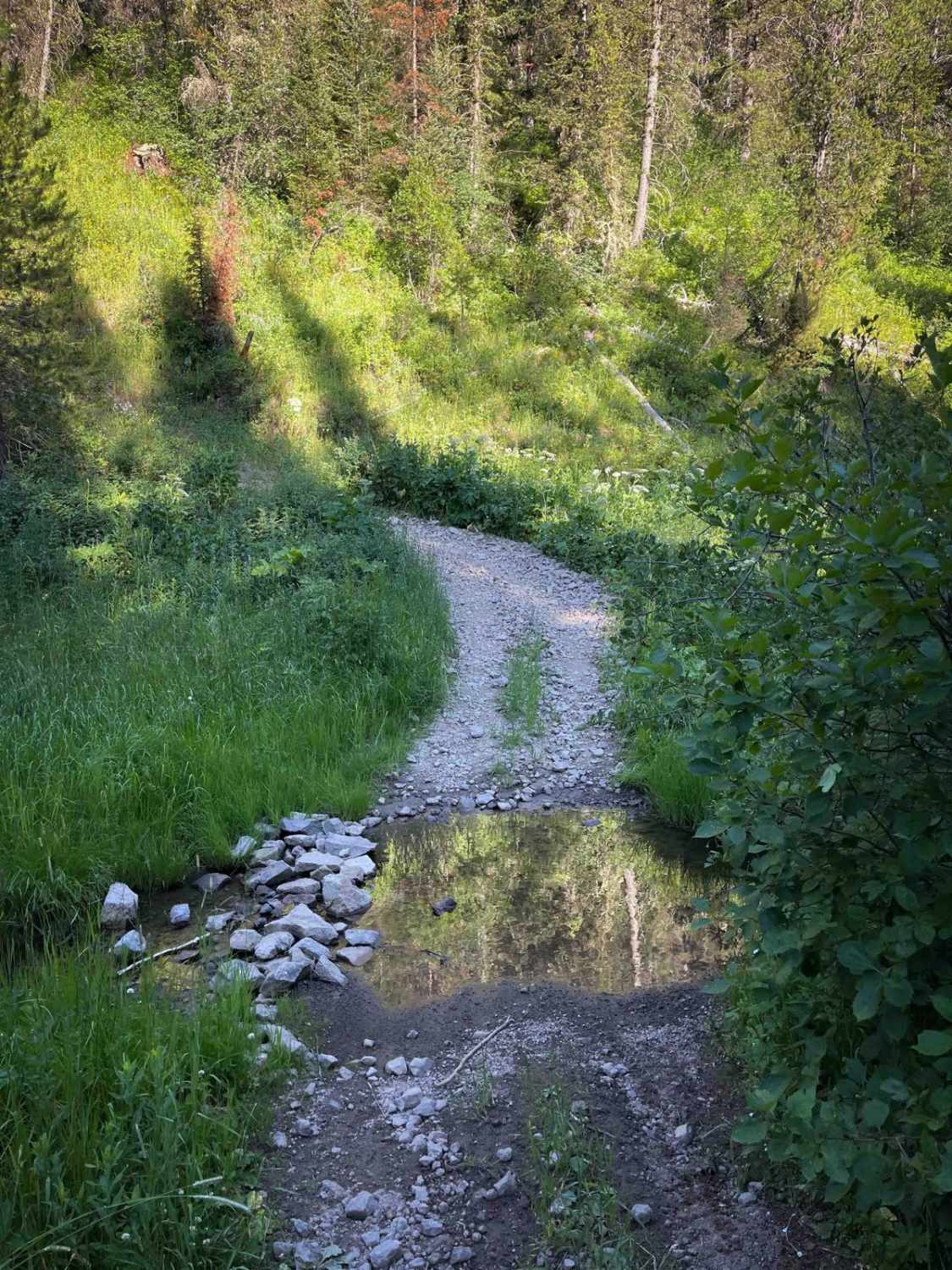
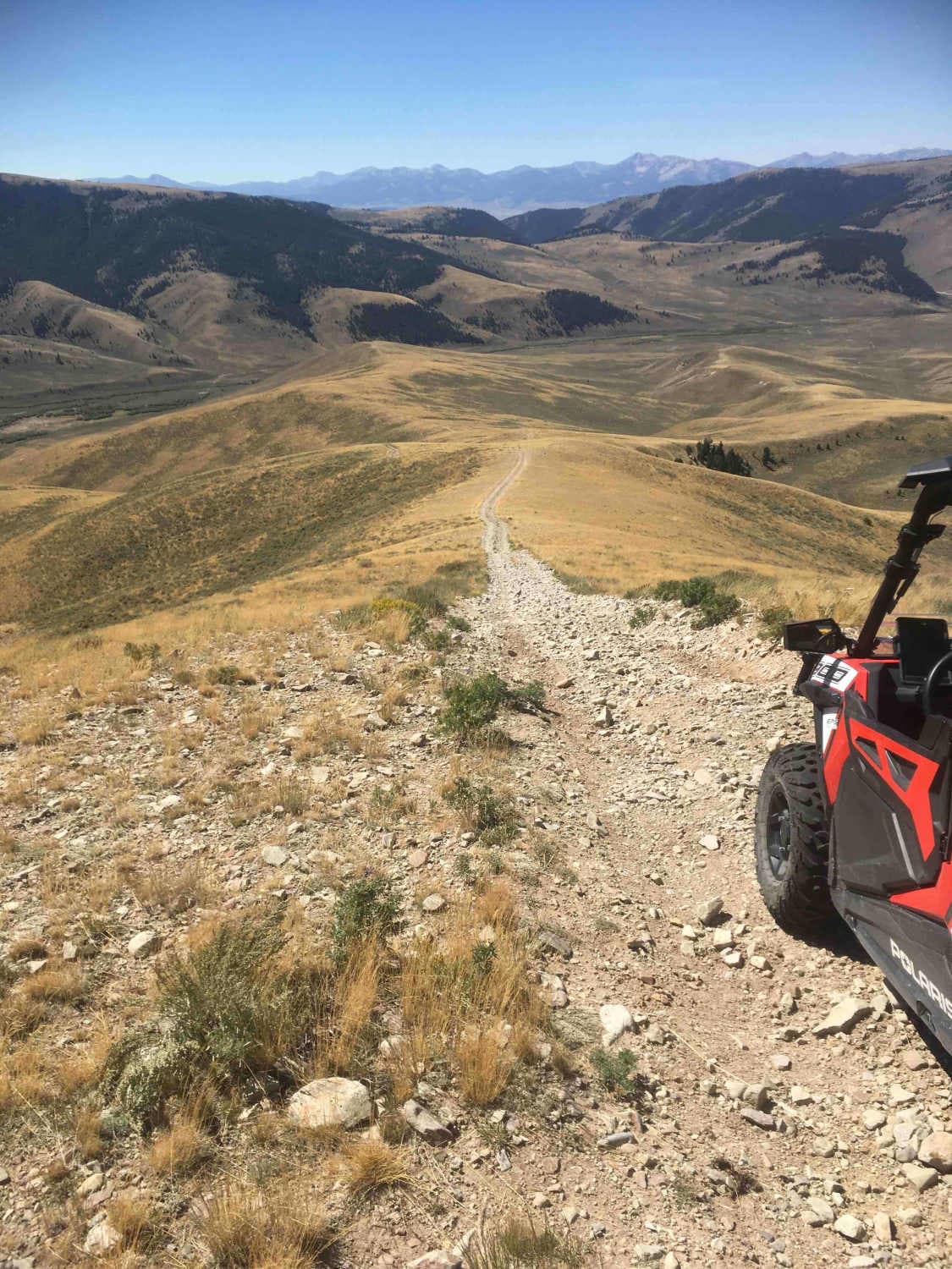
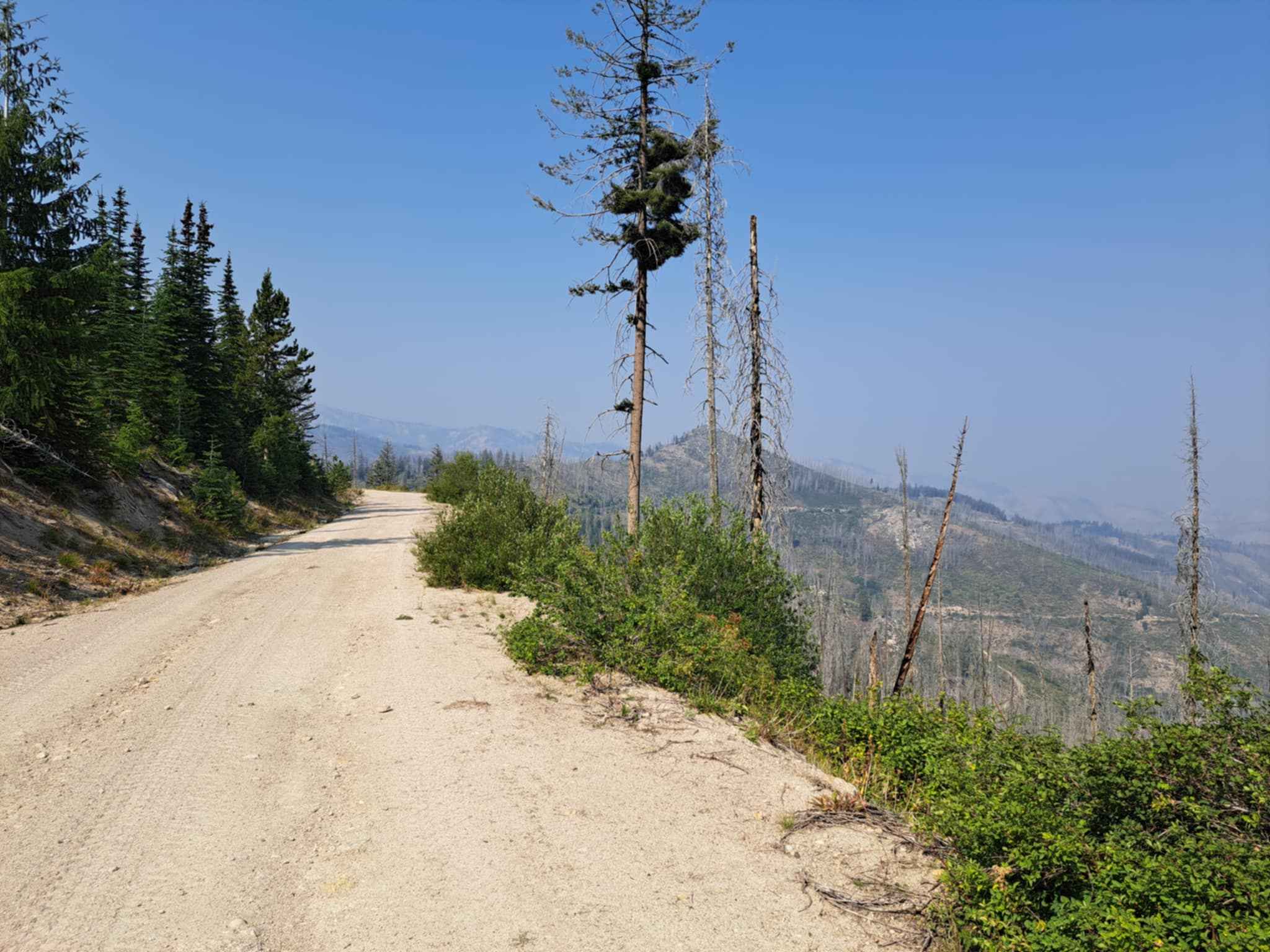
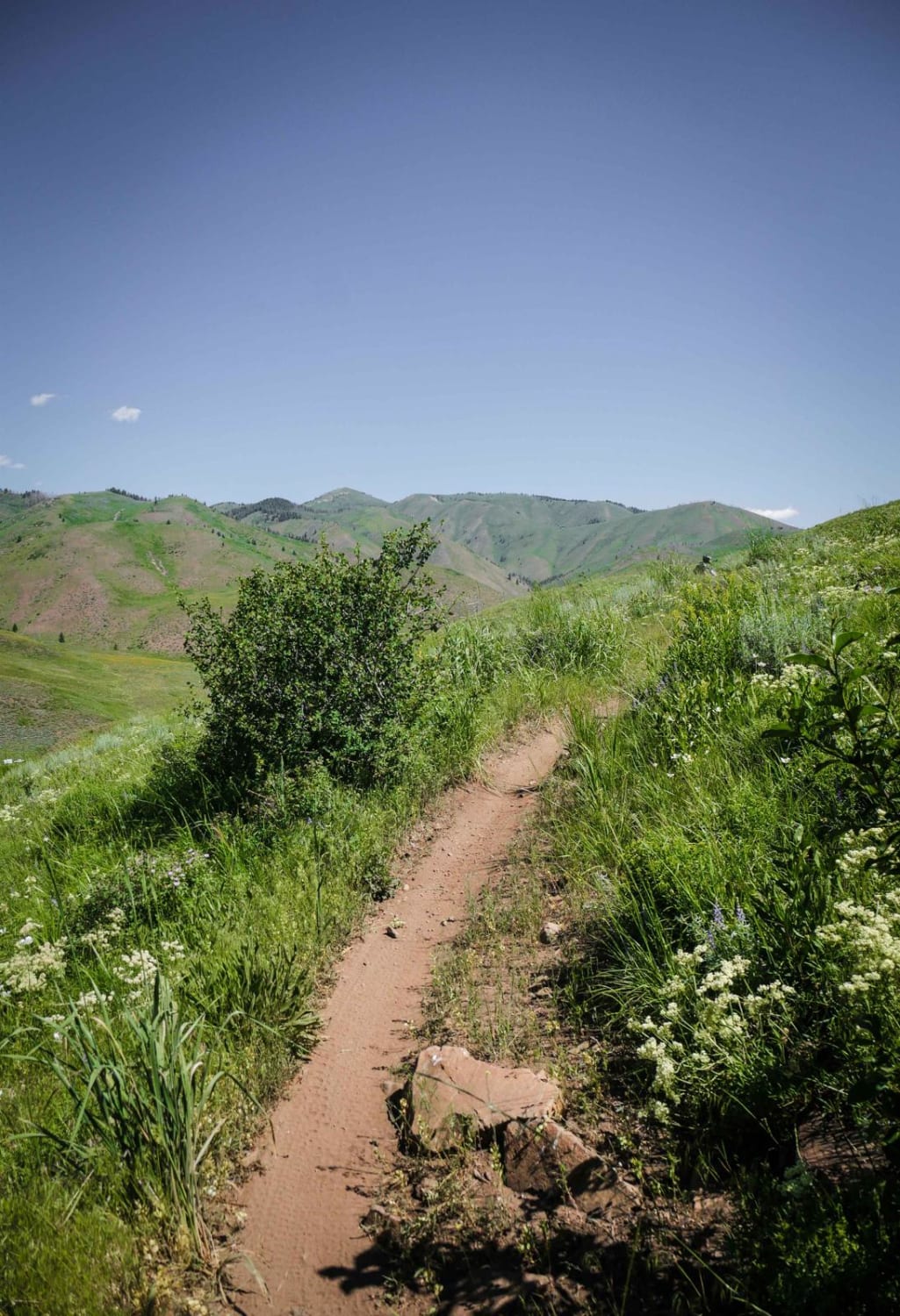
Powerline is a 2-mile-long ATV trail that is a consistently moderate route with steep climbs, rocky descents, and sharp turns. The west end starts from Forest Road 40253, about a mile from the Pine Creek Pass Trailhead, and begins as an easy two-track covered in small gravel. After passing a gate, the trail approaches the powerlines and drops into a steep descent filled with small loose rocks. This section is heavily rutted, with deep troughs on both sides of the trail and sharp corners. Throughout the route, the trail constantly goes up and back down several hills, with steep climbs and descents under the powerlines. The surface is often loose dirt and rock, making traction difficult. It descends again into a tight switchback filled with more loose rock and dirt, followed by a very short water crossing. After that, the trail climbs steeply again over larger, looser rock that poses the biggest traction challenge of the route. This up-and-down pattern continues throughout the trail, making it a moderate challenge in either direction, with constant elevation changes and loose surfaces adding to the technical demand.
Photos of Powerline

Difficulty
This is an intermediate trail due to the repeated steep climbs and descents, deep ruts, and loose rocky terrain. While it's short in length, the constant elevation change requires some experience to get through efficiently.
Status Reports
Powerline can be accessed by the following ride types:
- ATV (50")
- Dirt Bike
Powerline Map
Popular Trails

Westfork Yankee Fork
Roaring River Road - FS 255
Imperial Gulch
The onX Offroad Difference
onX Offroad combines trail photos, descriptions, difficulty ratings, width restrictions, seasonality, and more in a user-friendly interface. Available on all devices, with offline access and full compatibility with CarPlay and Android Auto. Discover what you’re missing today!