Off-Road Trails in California
Discover off-road trails in California
Learn more about Watterson Troughs
Watterson Troughs
Total Miles
4.8
Tech Rating
Easy
Best Time
Summer, Spring, Fall
Learn more about Weather Modification Station
Weather Modification Station
Total Miles
0.2
Tech Rating
Moderate
Best Time
Summer
Learn more about Wentworth Springs Trail
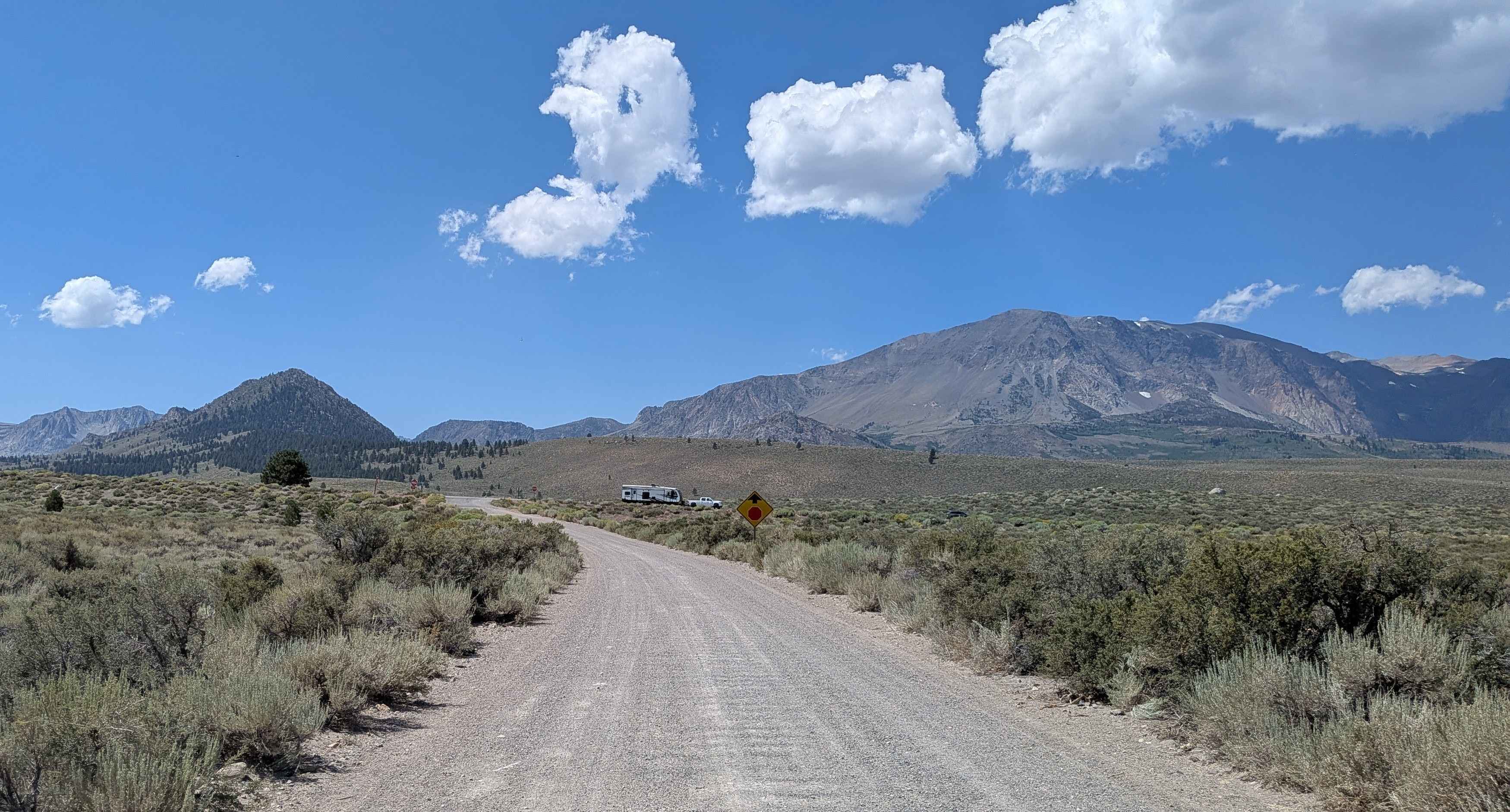
Wentworth Springs Trail
Total Miles
8.3
Tech Rating
Moderate
Best Time
Summer
Learn more about West Camino Cielo
West Camino Cielo
Total Miles
9.7
Tech Rating
Moderate
Best Time
Spring, Summer, Fall
Learn more about West Dolomite Trail
West Dolomite Trail
Total Miles
1.4
Tech Rating
Moderate
Best Time
Spring, Fall, Winter
Learn more about West Malum Ridge - FS 7S075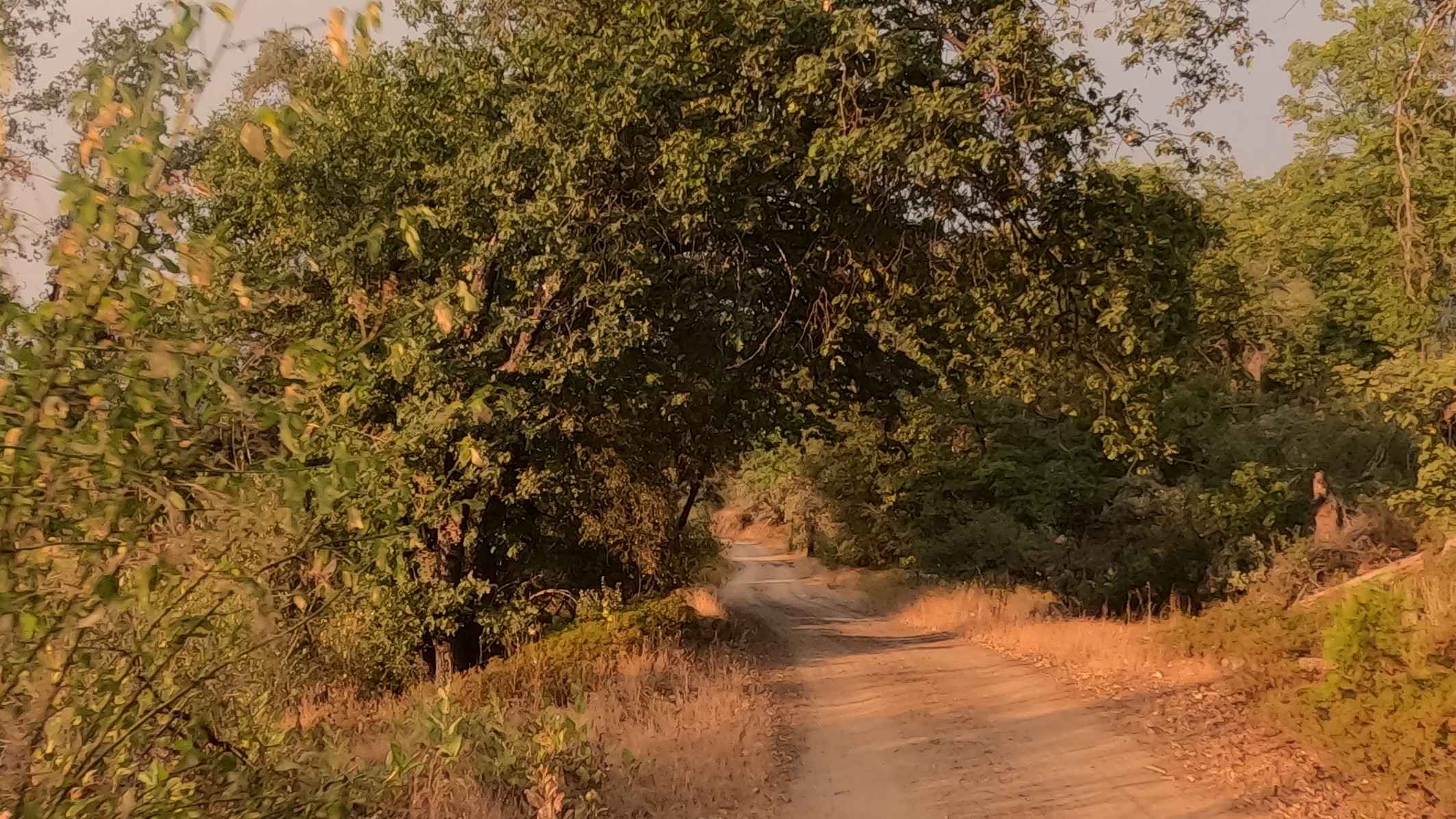
West Malum Ridge - FS 7S075
Total Miles
2.3
Tech Rating
Easy
Best Time
Summer, Spring, Fall
Learn more about West Side Road - DVNP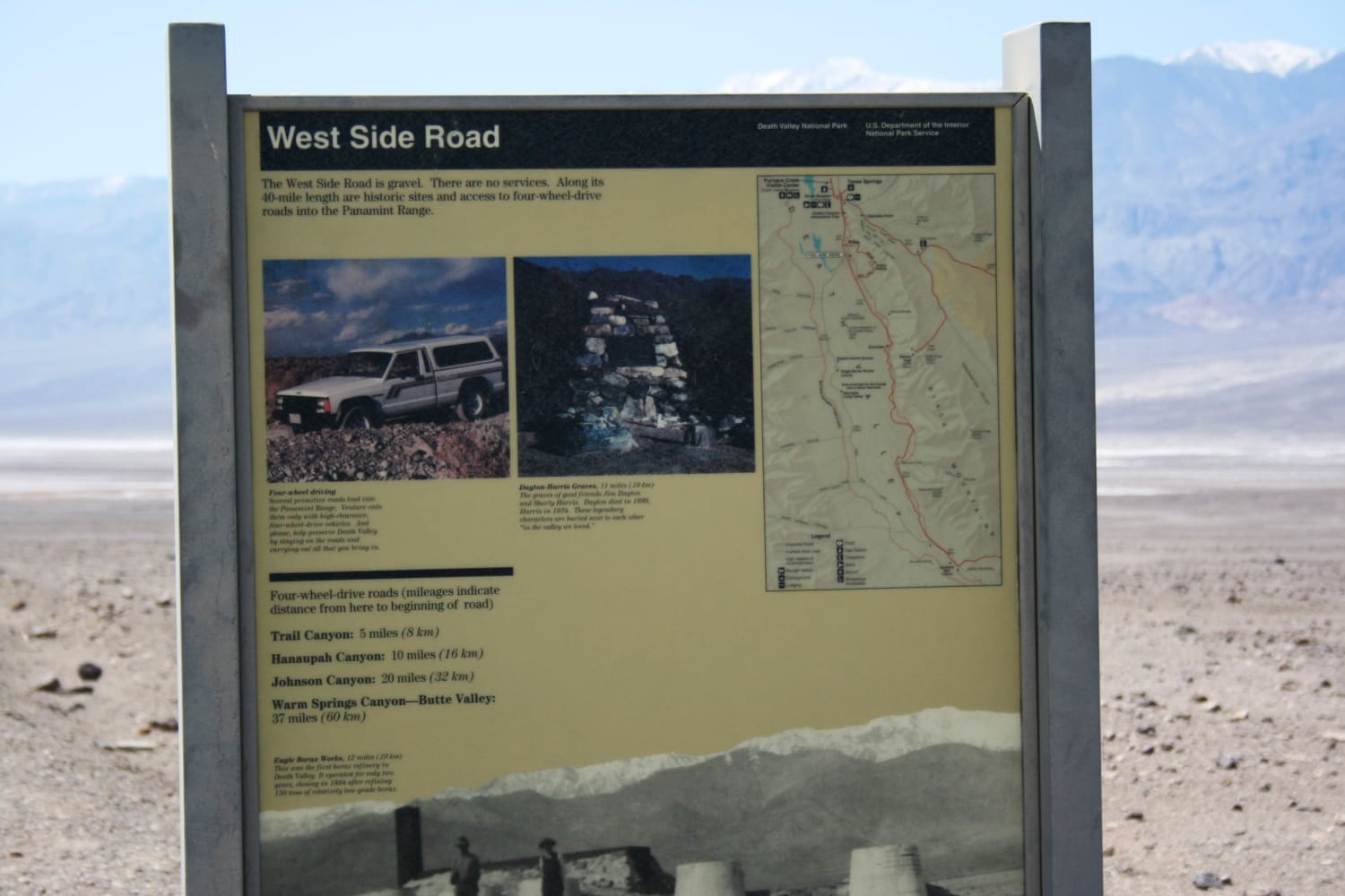
West Side Road - DVNP
Total Miles
35.8
Tech Rating
Easy
Best Time
Spring, Fall, Winter, Summer
Learn more about West Tecuya OHV
West Tecuya OHV
Total Miles
4.5
Tech Rating
Moderate
Best Time
Spring, Fall
Learn more about Western Boundary Road Main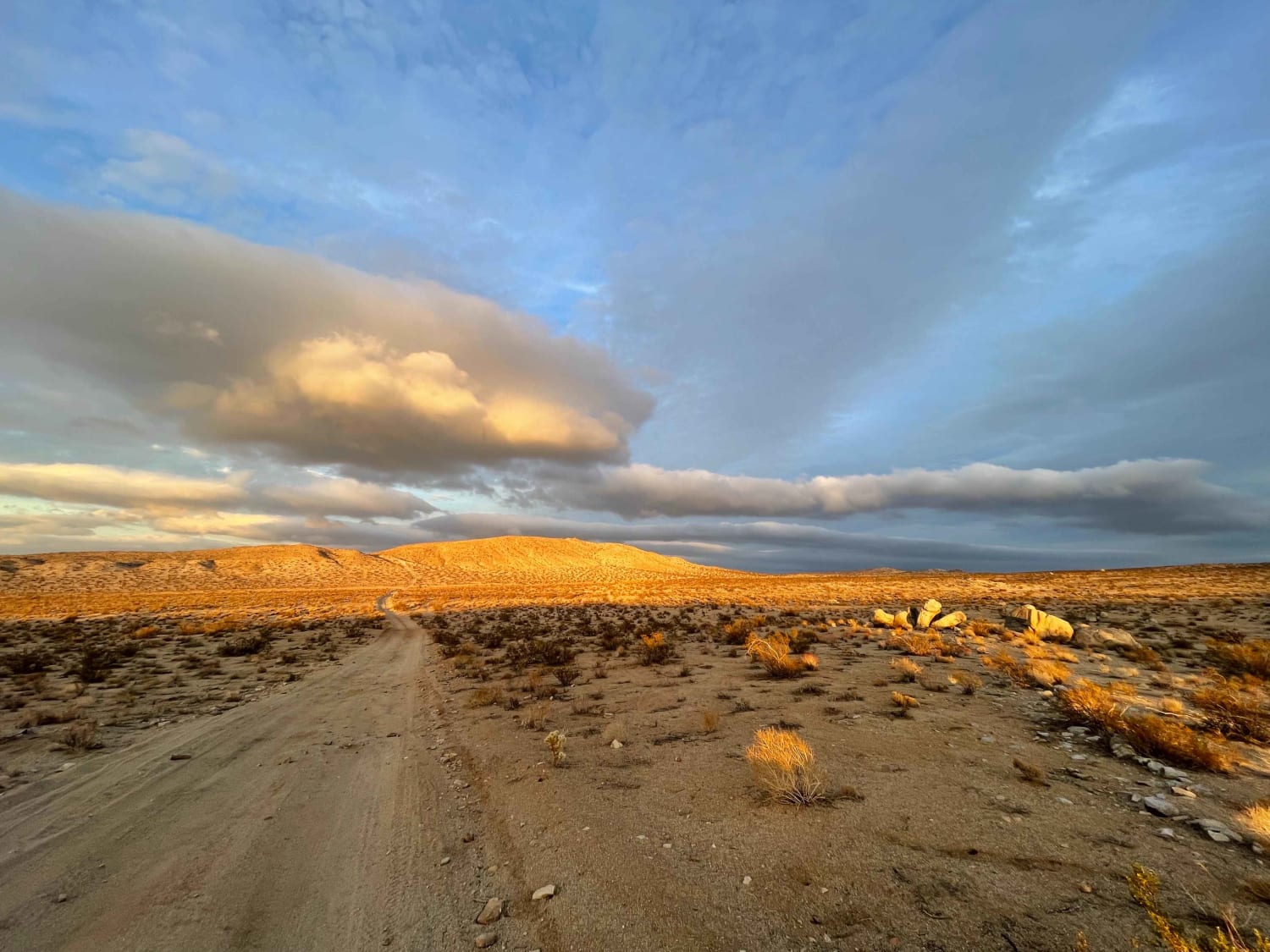
Western Boundary Road Main
Total Miles
1.7
Tech Rating
Moderate
Best Time
Winter, Fall, Spring
Learn more about Western Mesquite Mines Road - BLM 541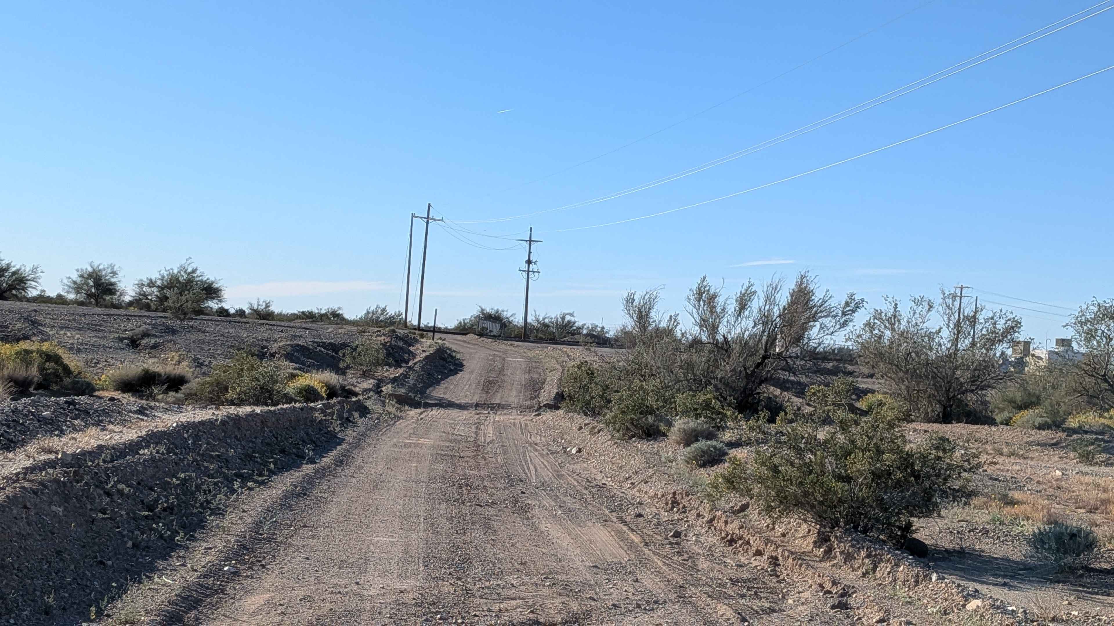
Western Mesquite Mines Road - BLM 541
Total Miles
0.9
Tech Rating
Easy
Best Time
Winter, Fall, Spring
Learn more about Westfall Tie - FS 5S017X
Westfall Tie - FS 5S017X
Total Miles
0.7
Tech Rating
Easy
Best Time
Spring, Summer, Fall
Learn more about White House Loop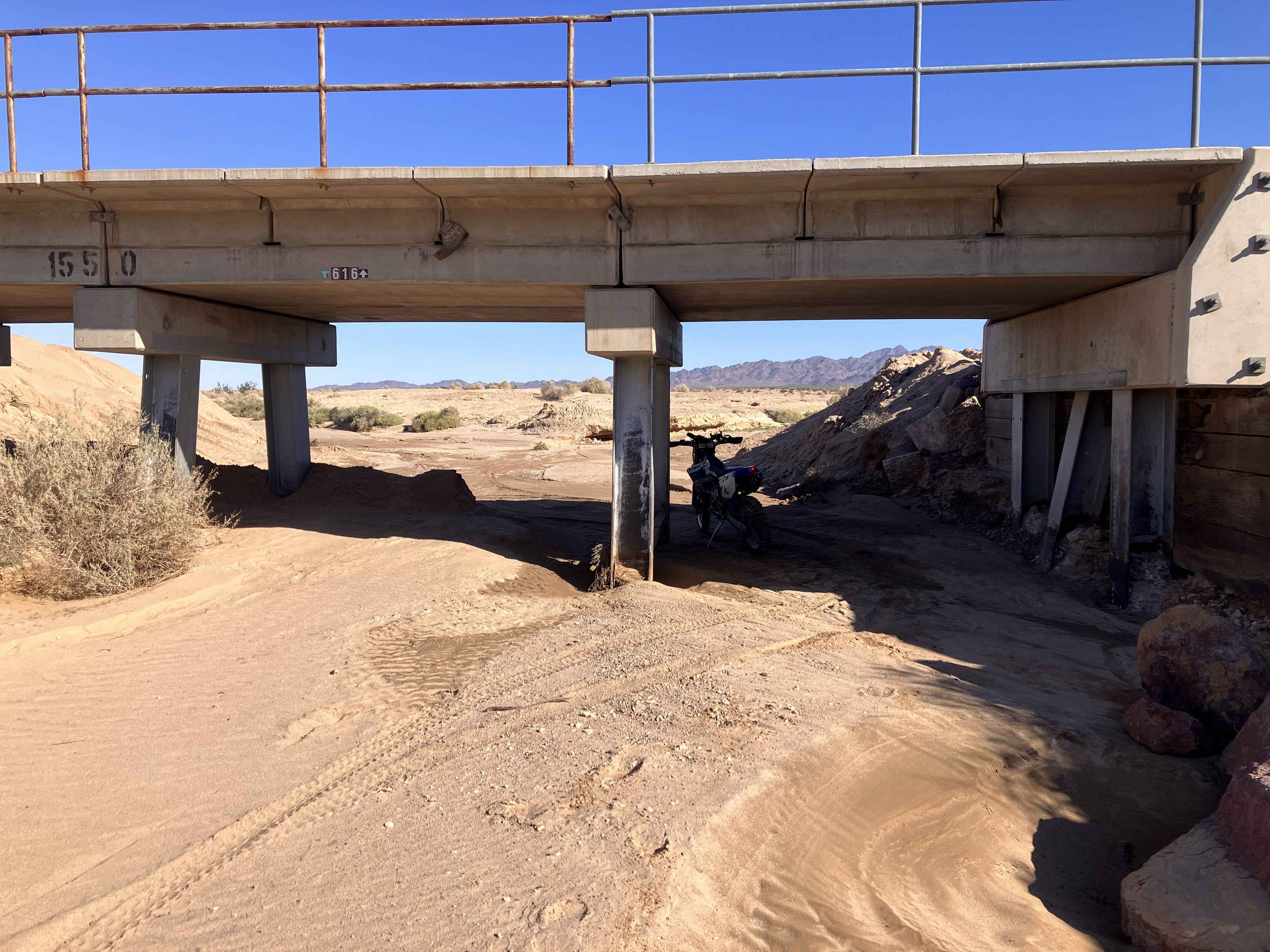
White House Loop
Total Miles
23.3
Tech Rating
Moderate
Best Time
Fall, Winter, Spring
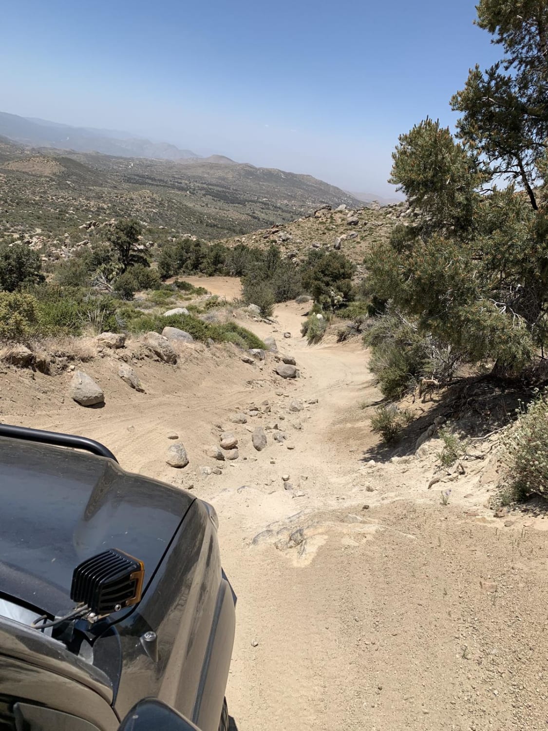
Learn more about White Mountain - FS 3N17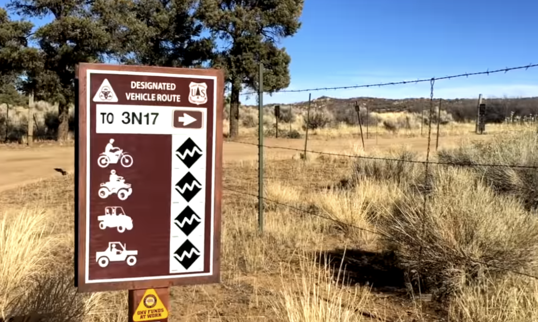
White Mountain - FS 3N17
Total Miles
8.4
Tech Rating
Moderate
Best Time
Spring, Summer
Learn more about White Mountain Road
White Mountain Road
Total Miles
11.6
Tech Rating
Easy
Best Time
Summer, Spring, Fall
ATV trails in California


UTV/side-by-side trails in California


Learn more about 3N267 Fenner Saddle (4N12)
3N267 Fenner Saddle (4N12)
Total Miles
3.8
Tech Rating
Difficult
Best Time
Spring, Summer, Fall, Winter

The onX Offroad Difference
onX Offroad combines trail photos, descriptions, difficulty ratings, width restrictions, seasonality, and more in a user-friendly interface. Available on all devices, with offline access and full compatibility with CarPlay and Android Auto. Discover what you’re missing today!