Trail Overview
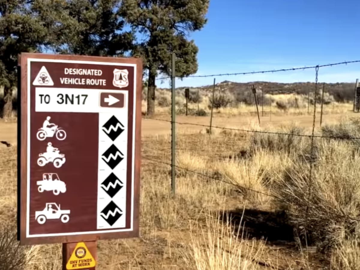
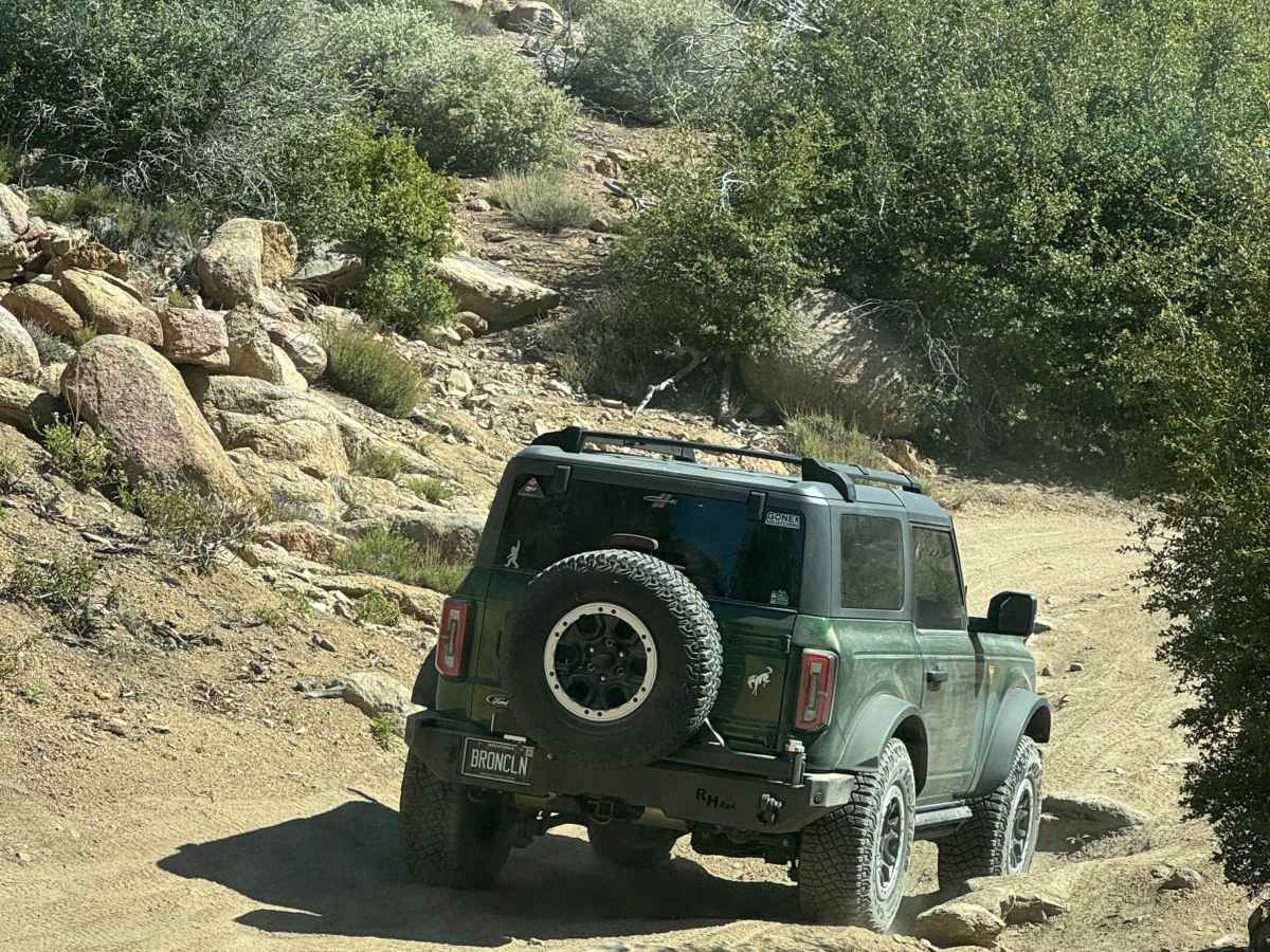
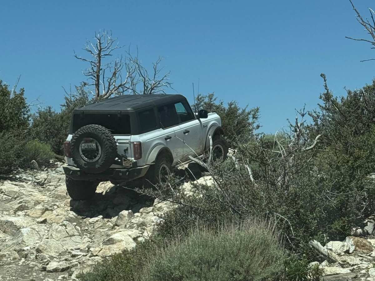
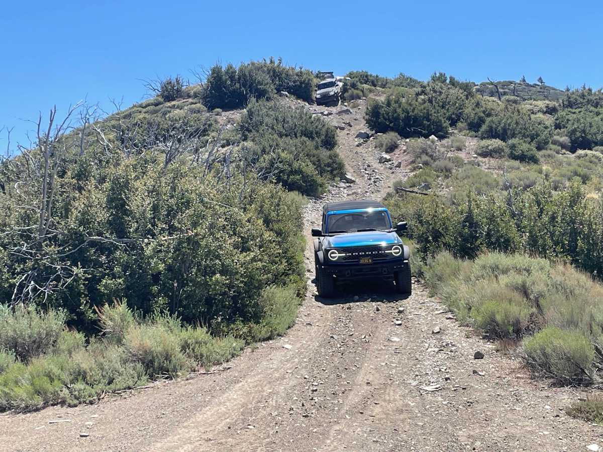
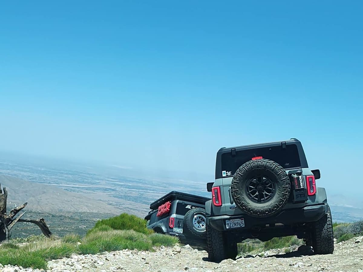
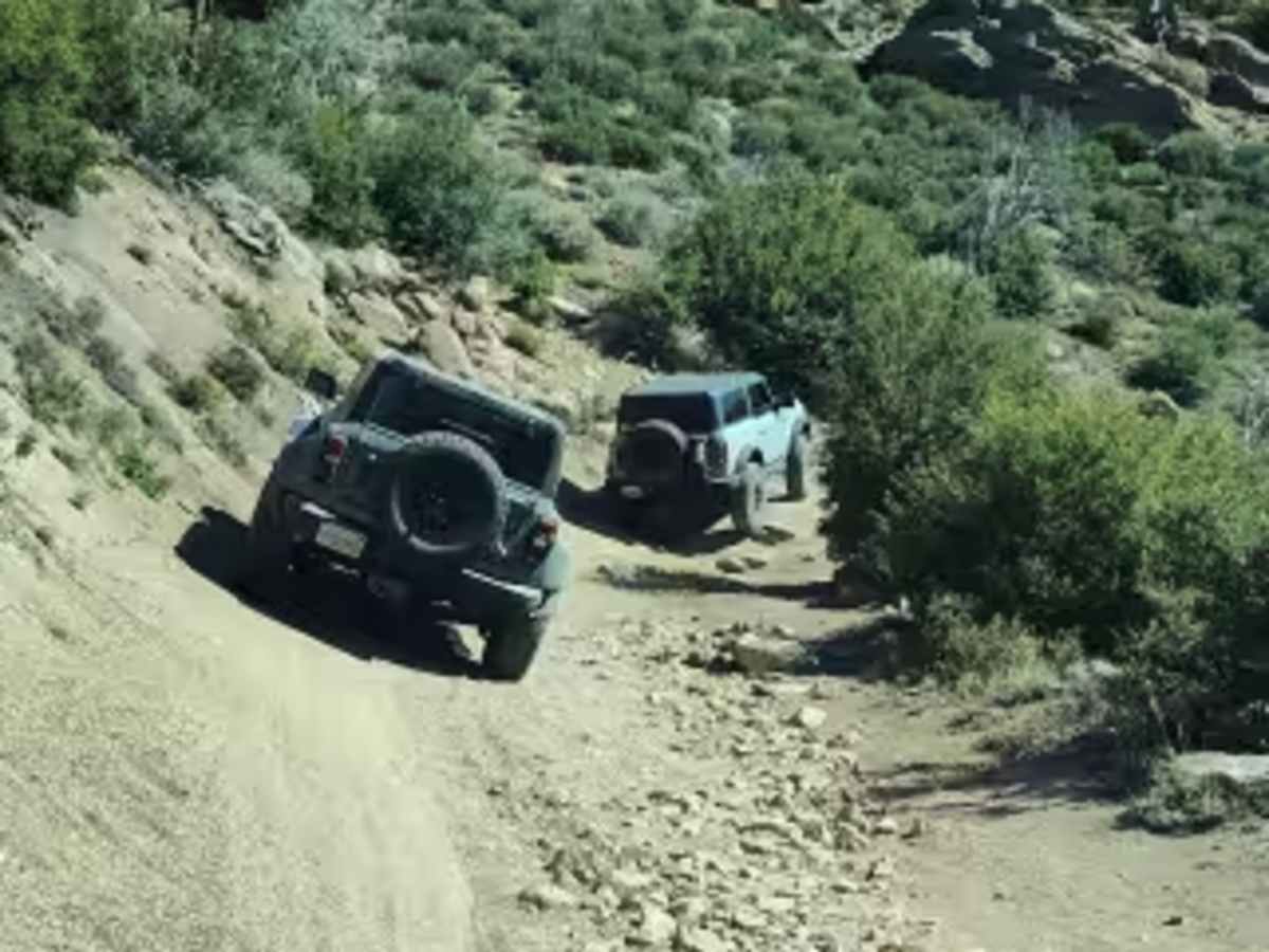
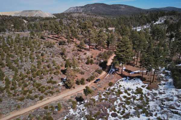
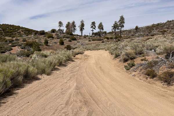
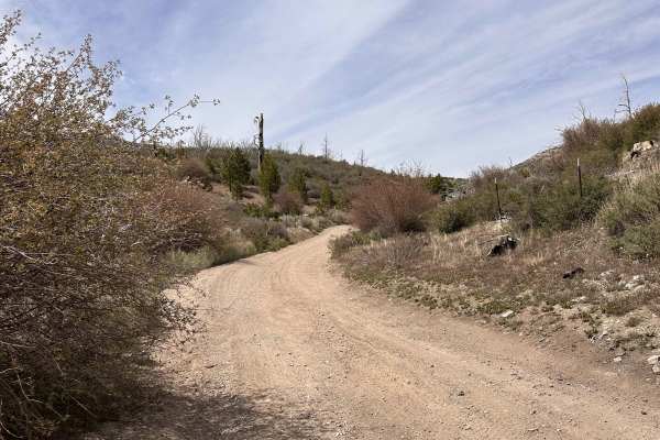
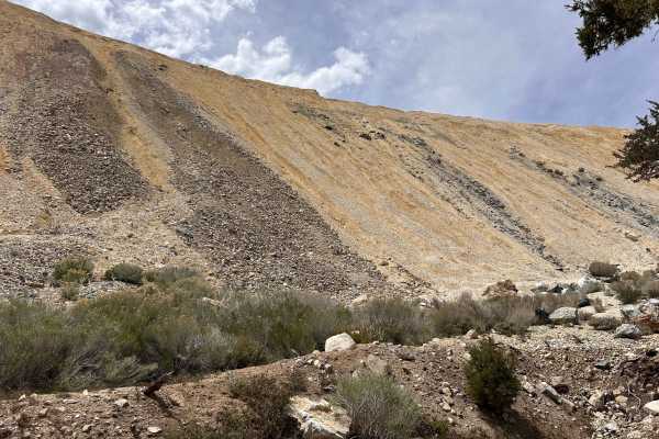
White Mountain Trail (3N17) is a scenic, moderately challenging forest route that climbs from the pine-covered elevations north of Big Bear into higher ridgelines with broad views of the surrounding mountains and high desert. The trail starts as a relatively smooth decomposed granite road but gradually tightens and becomes rockier as it ascends. Drivers will encounter embedded granite slabs, loose rock, shallow ledges in the 6–12 inch range, and seasonal erosion ruts that can create mild off-camber situations—especially after winter storms or monsoon runoff. Lower sections remain shaded and cool under thick pine canopy, while upper stretches open into more exposed ridge terrain with granite outcroppings and natural pull-offs ideal for regrouping or photos. Overall, it’s a quieter alternative to the busier Big Bear routes and makes a solid intermediate run in dry conditions. One of the more notable features along 3N17 is the optional “Suicide Hill” offshoot—a short but noticeably steeper spur that climbs a loose, decomposed granite hill with embedded rock shelves. It’s not long, but the pitch and traction can surprise drivers, particularly if the surface is dry and sandy or recently churned up. Momentum and careful throttle control are key; too little and you’ll spin, too much and you risk bouncing into the rutted sections. In wet or snowy conditions, the climb becomes significantly more technical due to reduced traction. Most built 4x4s handle it without issue in dry weather, but it’s entirely optional and easy to bypass by staying on the main 3N17 route. For groups, it’s a fun challenge section and a good spot to practice controlled hill climbs—just be mindful of erosion and avoid attempting it when conditions could cause trail damage.
Difficulty
Drivers will encounter embedded granite slabs, loose rock, shallow ledges in the 6 to 12 inch range, and seasonal erosion ruts that can create mild off-camber situations—especially after winter storms or monsoon runoff.
History
White Mountain Trail (Forest Service Road 3N17) is part of the broader network of mountain roads developed in the early 20th century as the San Bernardino high country transitioned from private timber and mining interests to federal forest management under what is now the San Bernardino National Forest. Many of the numbered “3N” routes in the Big Bear area originated as access roads for logging operations, fire suppression, and grazing allotments. As timber extraction declined and recreation increased, these utilitarian roads were retained and standardized under the Forest Service route numbering system, allowing continued access for hunters, ranchers, fire crews, and eventually off-highway vehicle (OHV) recreationists. With the post-World War II growth of Southern California and the rise of 4x4 culture in the 1960s and 1970s, routes like 3N17 gradually shifted from primarily administrative roads to recreational trails. The granite, decomposed granite soils, and natural ridge alignments made the corridor a practical connector between the Big Bear basin and the high desert side of the mountain range. Today, 3N17 remains a multi-use Forest Service route—maintained primarily for access and fire management—but embraced by the OHV community as a scenic, moderately challenging trail that reflects Big Bear’s layered history of logging, land management, and outdoor recreation.