Off-Road Trails in California
Discover off-road trails in California
Learn more about Casa Diablo Road
Casa Diablo Road
Total Miles
21.2
Tech Rating
Easy
Best Time
Fall, Summer, Spring
Learn more about Cash Run
Cash Run
Total Miles
0.6
Tech Rating
Moderate
Best Time
Spring, Summer, Fall, Winter
Learn more about Castle Rock Road - FS 32139
Castle Rock Road - FS 32139
Total Miles
1.5
Tech Rating
Easy
Best Time
Summer, Fall
Learn more about Cavanaugh Ridge
Cavanaugh Ridge
Total Miles
2.9
Tech Rating
Moderate
Best Time
Fall, Summer, Spring
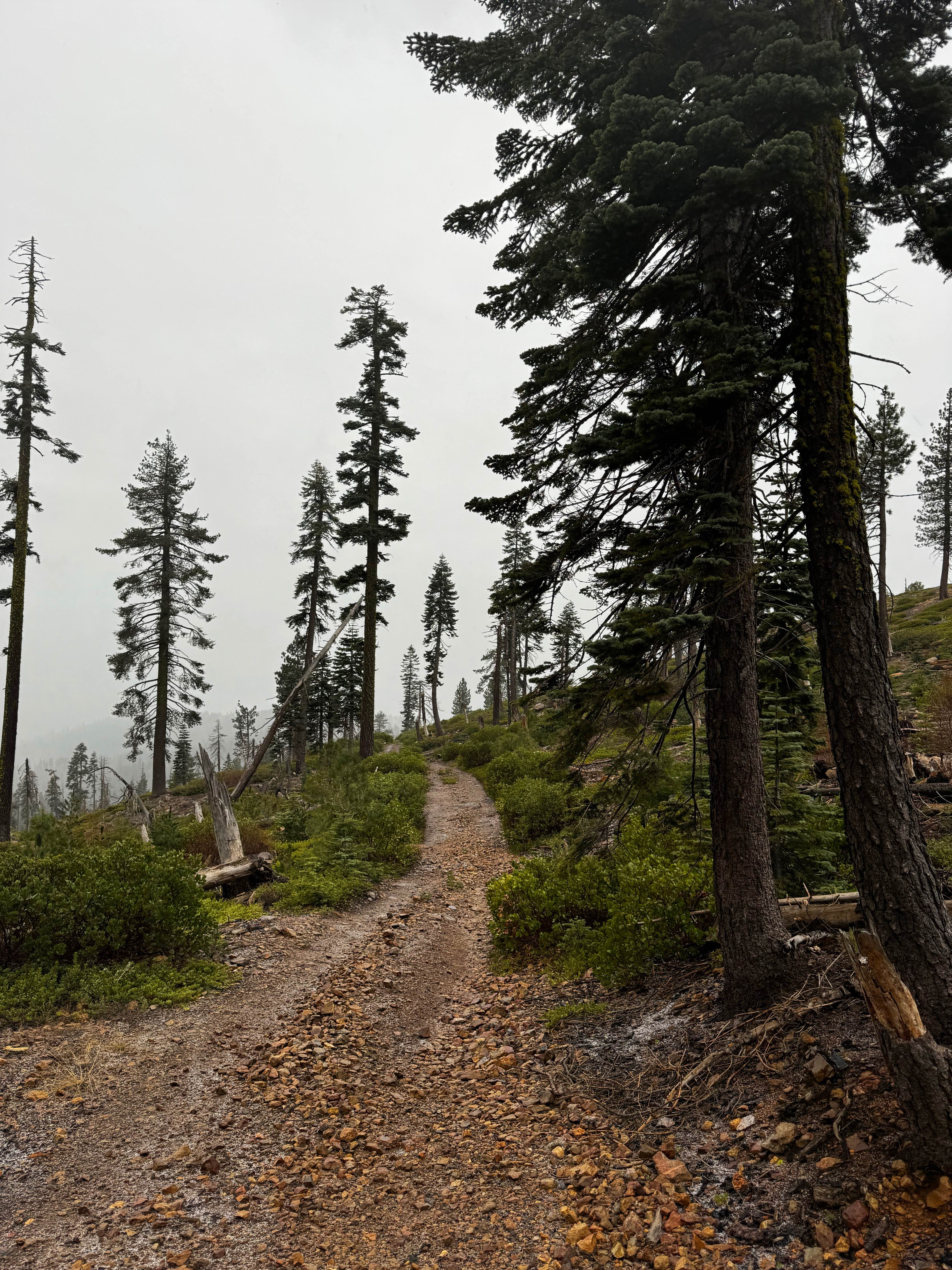
Learn more about Cedar Creek Loop
Cedar Creek Loop
Total Miles
15.1
Tech Rating
Easy
Best Time
Spring, Summer, Fall, Winter
Learn more about Cemetery Road
Cemetery Road
Total Miles
5.9
Tech Rating
Easy
Best Time
Fall, Summer, Spring
Learn more about Central Camp - FS 6S042
Central Camp - FS 6S042
Total Miles
18.6
Tech Rating
Easy
Best Time
Spring, Summer, Fall
Learn more about Cerro Gordo Backdoor
Cerro Gordo Backdoor
Total Miles
16.6
Tech Rating
Moderate
Best Time
Spring, Summer, Fall
Learn more about Chalk Bluff Road
Chalk Bluff Road
Total Miles
5.4
Tech Rating
Easy
Best Time
Spring, Fall, Winter

Learn more about Chango Lake - FS32062
Chango Lake - FS32062
Total Miles
3.3
Tech Rating
Easy
Best Time
Summer, Fall
Learn more about Chappo Spring (BLM AR233)
Chappo Spring (BLM AR233)
Total Miles
4.4
Tech Rating
Easy
Best Time
Winter
Learn more about Chappo Spring (BLM AR2350)
Chappo Spring (BLM AR2350)
Total Miles
6.1
Tech Rating
Easy
Best Time
Winter
Learn more about Check Me Out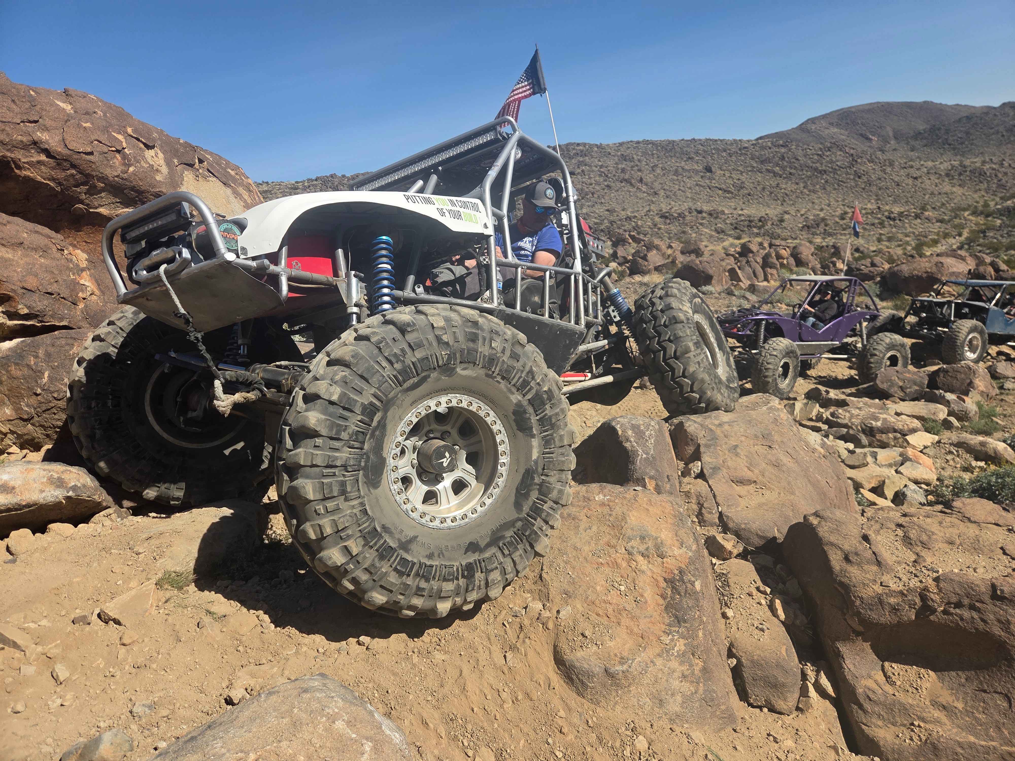
Check Me Out
Total Miles
1.0
Tech Rating
Moderate
Best Time
Spring, Fall, Winter
Learn more about Chepo Saddle 6S13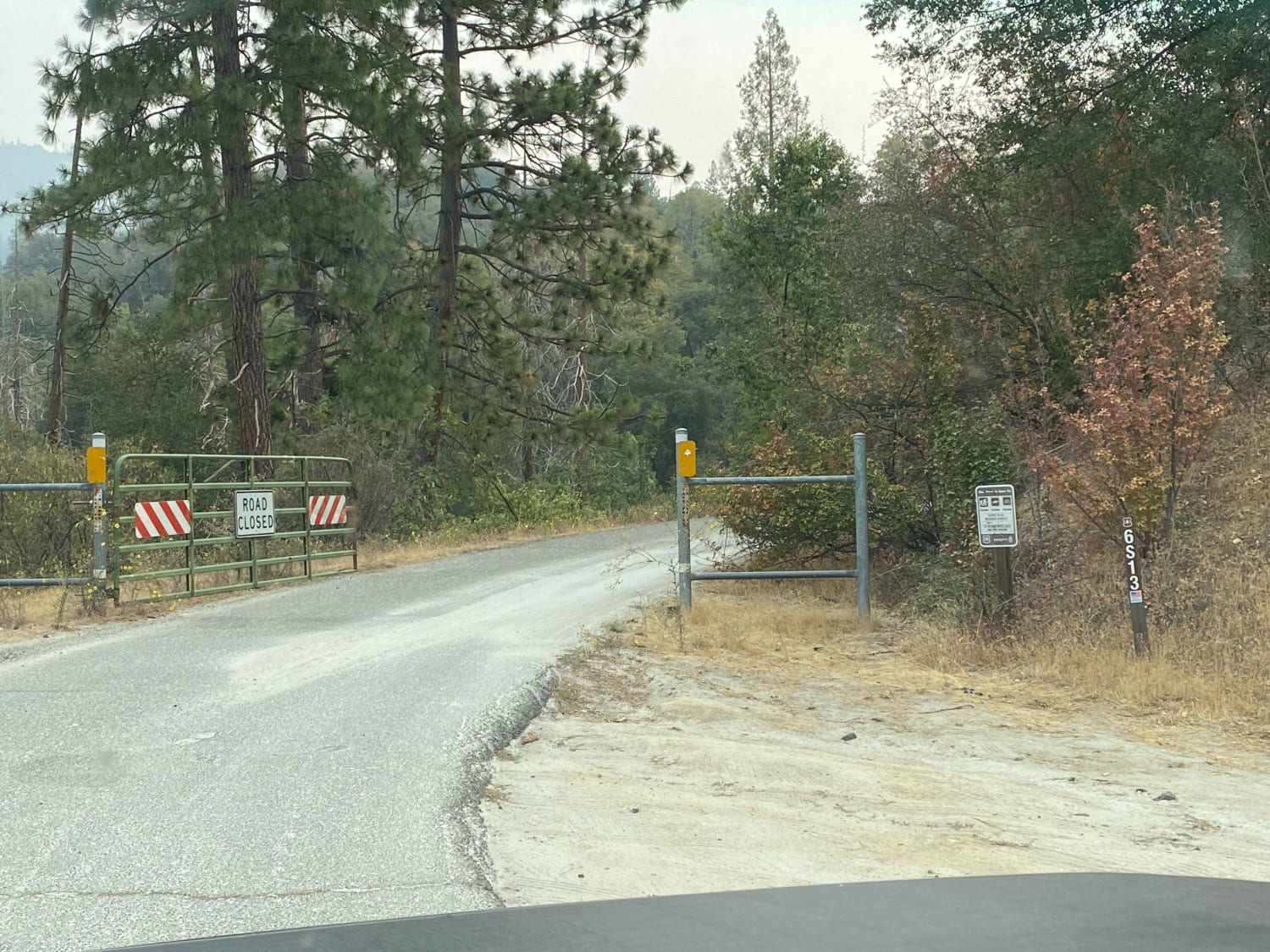
Chepo Saddle 6S13
Total Miles
12.1
Tech Rating
Easy
Best Time
Summer, Fall
Learn more about Chickens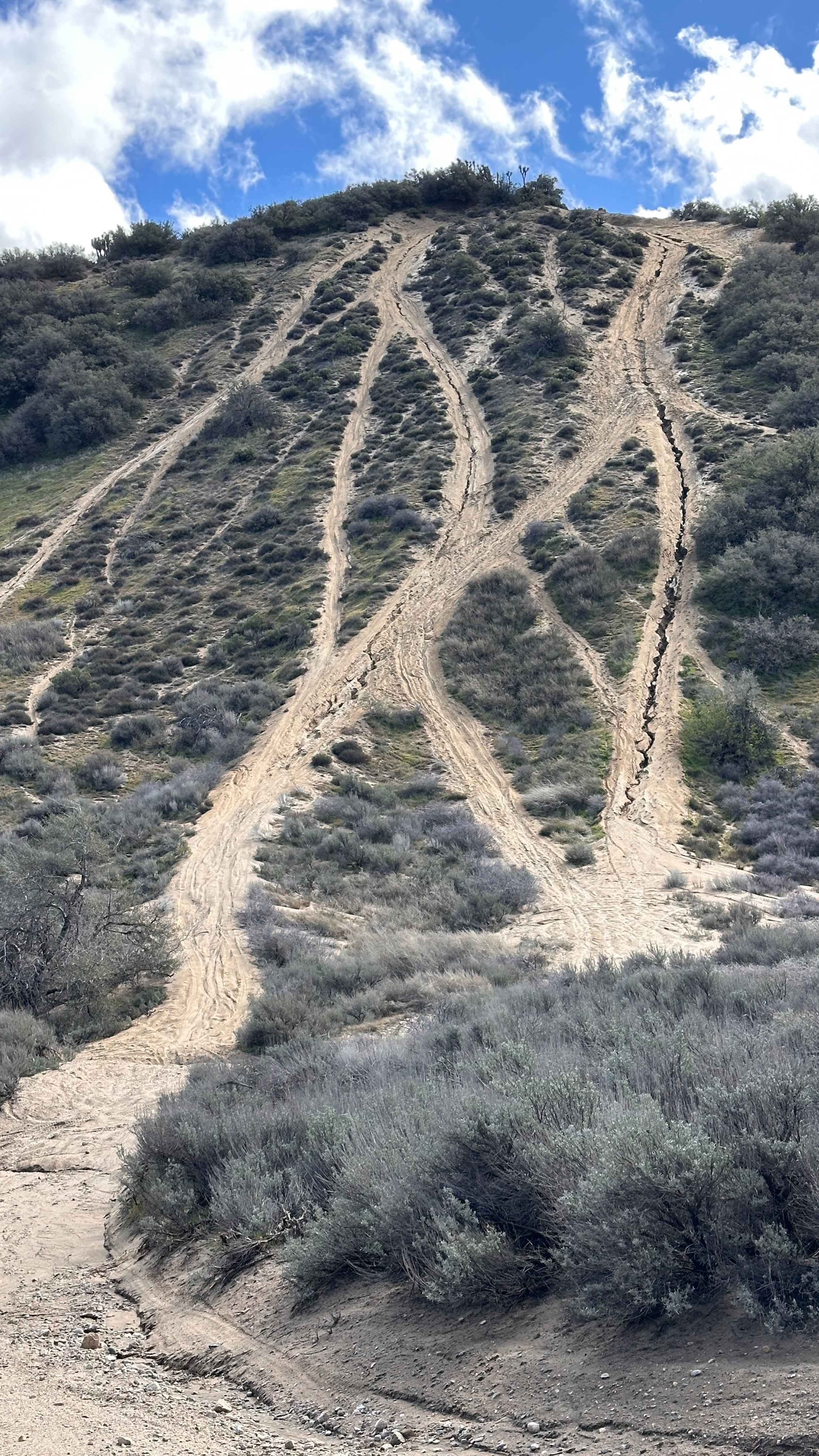
Chickens
Total Miles
0.2
Tech Rating
Difficult
Best Time
Spring, Summer, Fall, Winter
Learn more about Chidago Loop Road
Chidago Loop Road
Total Miles
5.6
Tech Rating
Easy
Best Time
Spring, Fall, Summer, Winter
ATV trails in California


UTV/side-by-side trails in California


Learn more about 3N267 Fenner Saddle (4N12)
3N267 Fenner Saddle (4N12)
Total Miles
3.8
Tech Rating
Difficult
Best Time
Spring, Summer, Fall, Winter

The onX Offroad Difference
onX Offroad combines trail photos, descriptions, difficulty ratings, width restrictions, seasonality, and more in a user-friendly interface. Available on all devices, with offline access and full compatibility with CarPlay and Android Auto. Discover what you’re missing today!