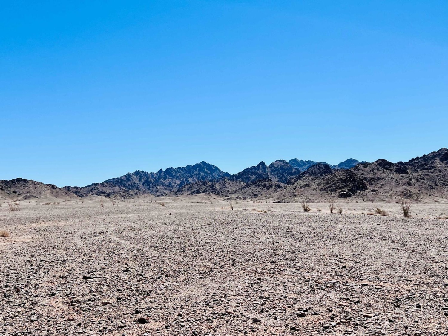
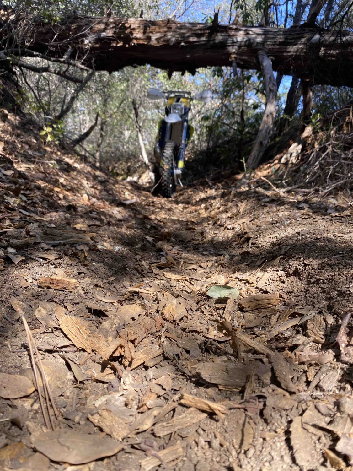
Off-Road Trails in California
Discover off-road trails in California
Learn more about Deer Lake, Gold Valley
Deer Lake, Gold Valley
Total Miles
39.8
Tech Rating
Easy
Best Time
Summer
Learn more about Deer Trail
Deer Trail
Total Miles
4.4
Tech Rating
Moderate
Best Time
Spring, Summer, Fall, Winter
Learn more about Deer Valley
Deer Valley
Total Miles
1.1
Tech Rating
Difficult
Best Time
Spring, Summer, Fall
Learn more about Deer Valley - Part 2
Deer Valley - Part 2
Total Miles
5.5
Tech Rating
Moderate
Best Time
Spring, Summer, Fall
Learn more about Del Sur Ridge 6N18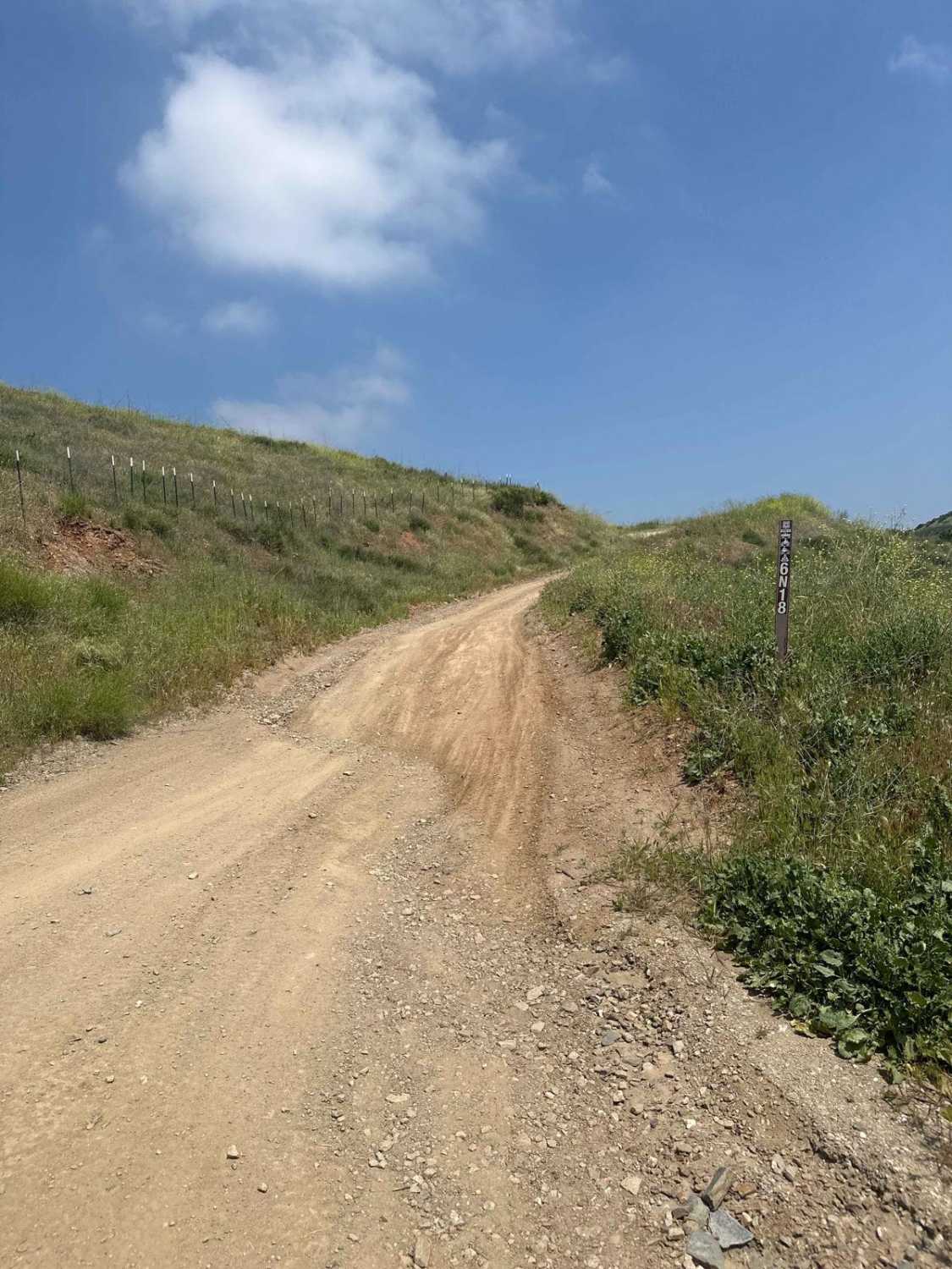
Del Sur Ridge 6N18
Total Miles
9.2
Tech Rating
Moderate
Best Time
Spring, Summer, Fall
Learn more about Delamar Mountain - 3N12
Delamar Mountain - 3N12
Total Miles
3.6
Tech Rating
Easy
Best Time
Spring, Summer, Fall
Learn more about Desert Front Trail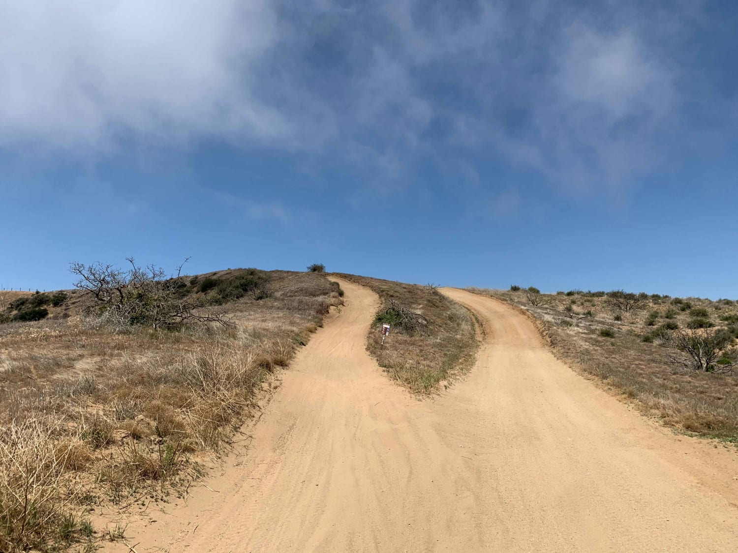
Desert Front Trail
Total Miles
12.3
Tech Rating
Easy
Best Time
Spring, Summer
Learn more about Devil's Canyon Road
Devil's Canyon Road
Total Miles
4.8
Tech Rating
Easy
Best Time
Spring, Fall, Winter
Learn more about Devil's Slide Lane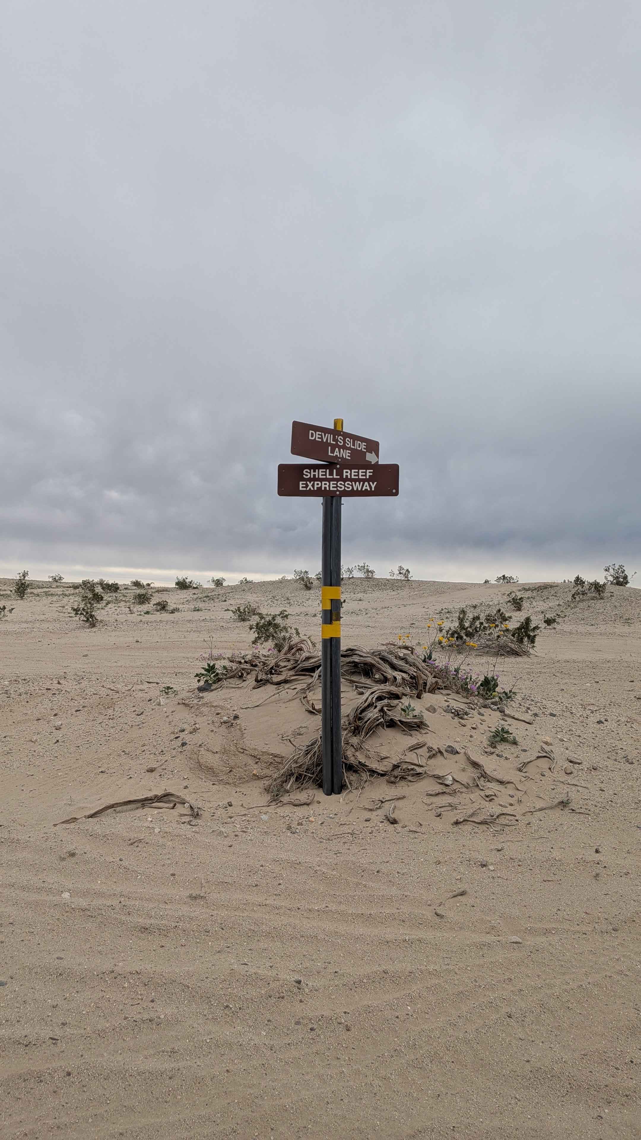
Devil's Slide Lane
Total Miles
3.0
Tech Rating
Easy
Best Time
Winter, Fall, Spring
Learn more about Diablo Dropoff
Diablo Dropoff
Total Miles
2.3
Tech Rating
Easy
Best Time
Spring, Summer, Fall, Winter
Learn more about Diamond Back Loop
Diamond Back Loop
Total Miles
0.5
Tech Rating
Moderate
Best Time
Spring, Summer, Fall, Winter
Learn more about Dill Scenic Trail
Dill Scenic Trail
Total Miles
5.3
Tech Rating
Easy
Best Time
Spring, Summer, Fall
Learn more about Dirt Road - BLM 232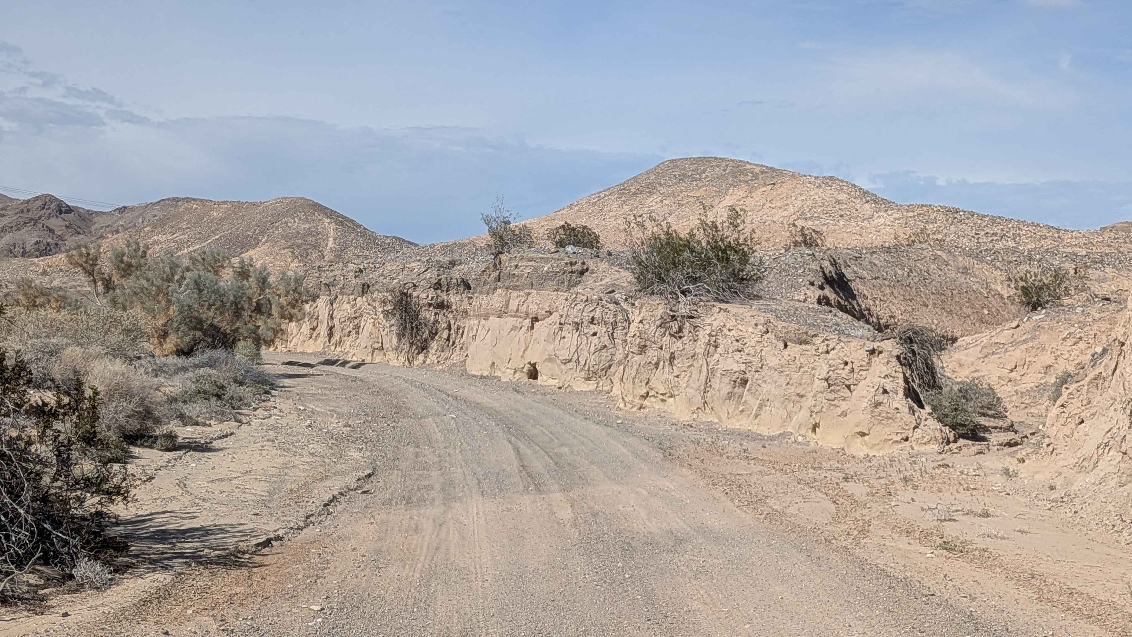
Dirt Road - BLM 232
Total Miles
1.9
Tech Rating
Easy
Best Time
Winter, Fall, Spring
Learn more about Dishpan Springs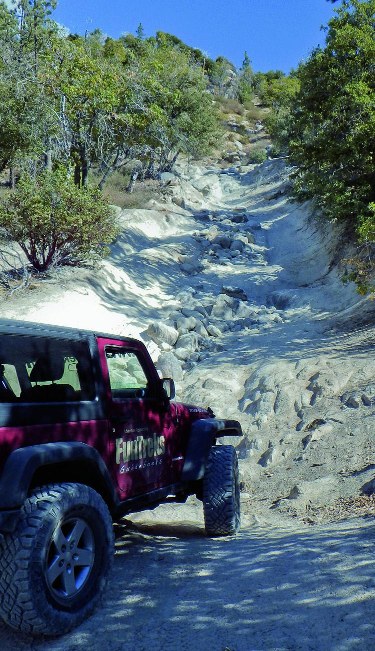
Dishpan Springs
Total Miles
4.7
Tech Rating
Difficult
Best Time
Summer, Fall
Learn more about Ditch Road
Ditch Road
Total Miles
1.8
Tech Rating
Easy
Best Time
Spring, Summer, Fall, Winter
Learn more about Dobie Canyon Run
Dobie Canyon Run
Total Miles
36.8
Tech Rating
Easy
Best Time
Spring, Summer, Fall
Learn more about Dobie Meadows Road North
Dobie Meadows Road North
Total Miles
10.8
Tech Rating
Easy
Best Time
Summer, Fall, Spring
ATV trails in California


UTV/side-by-side trails in California


Learn more about 3N267 Fenner Saddle (4N12)
3N267 Fenner Saddle (4N12)
Total Miles
3.8
Tech Rating
Difficult
Best Time
Spring, Summer, Fall, Winter

The onX Offroad Difference
onX Offroad combines trail photos, descriptions, difficulty ratings, width restrictions, seasonality, and more in a user-friendly interface. Available on all devices, with offline access and full compatibility with CarPlay and Android Auto. Discover what you’re missing today!