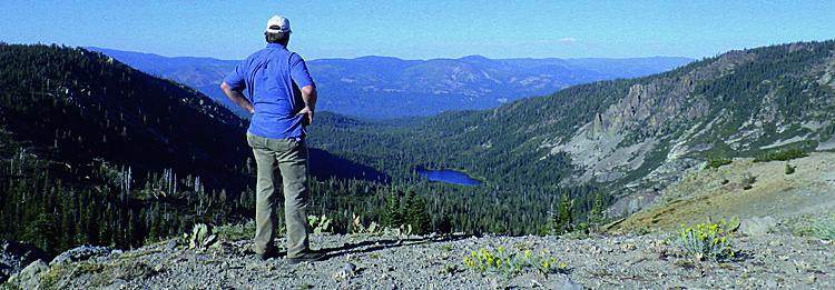
Deer Lake, Gold Valley
Total Miles
39.8
Technical Rating
Best Time
Summer
Trail Type
Full-Width Road
Accessible By
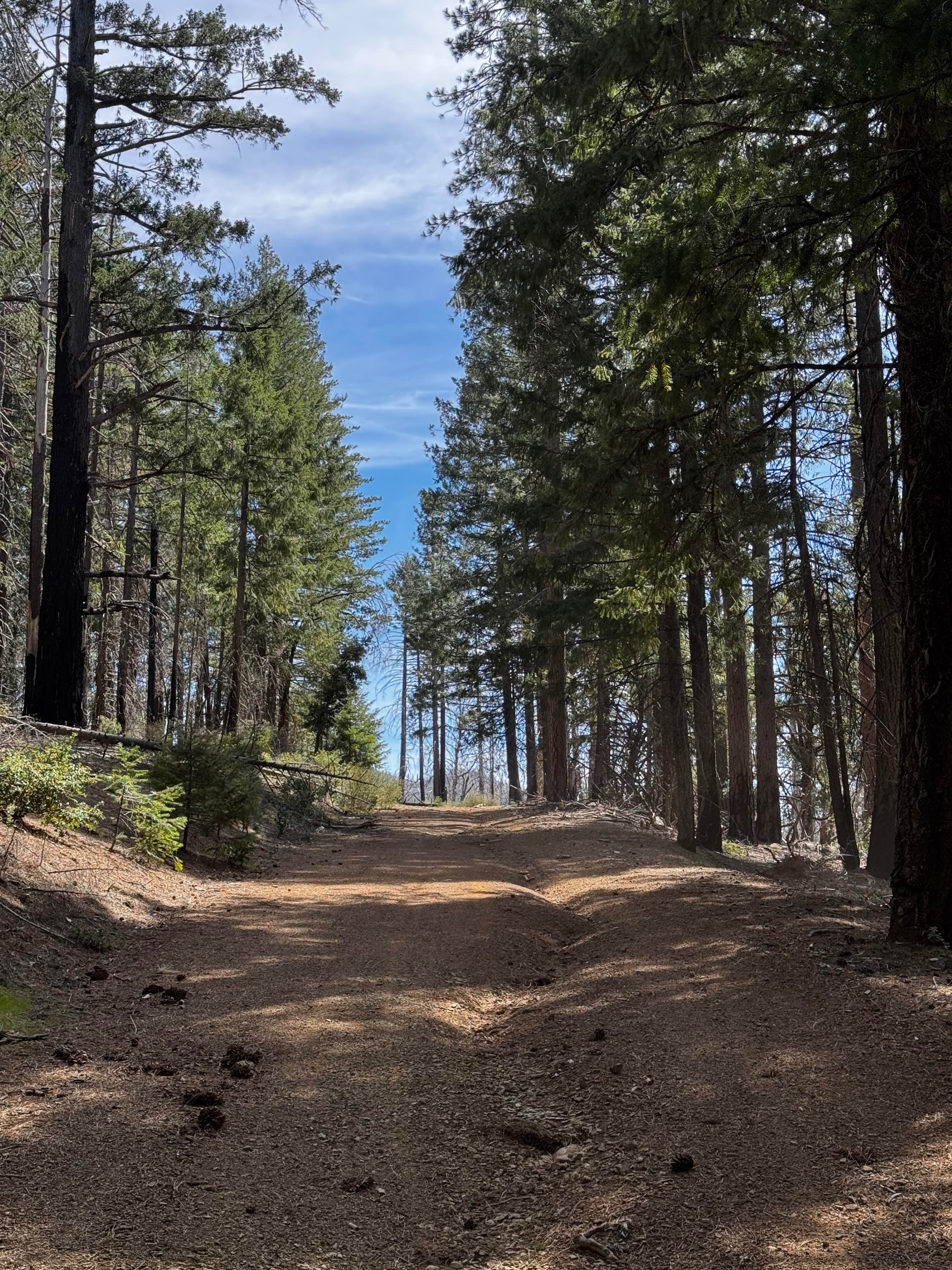
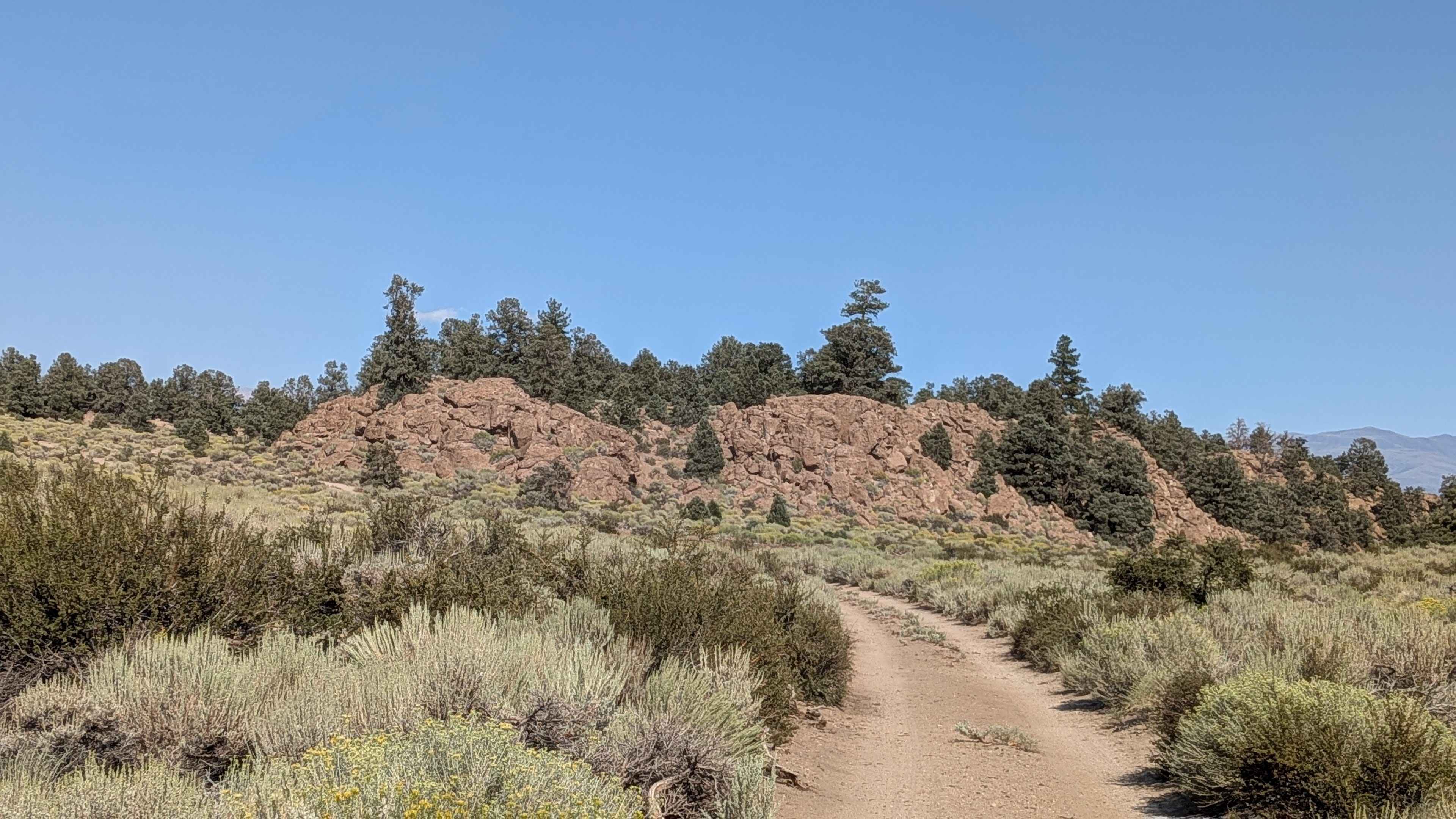
Trail Overview
Trail begins with an easy climb to a high scenic ridge above beautiful Deer Lake. The route then descends into rugged Gold Valley and heads north past mines and lakes. To modify the trip, you can head north from Waypoint 02 to a scenic campground above Gold Lake or just exit back to Gold Lake Highway. Another option is to head north from Waypoint 02 and immediately turn left to run difficult Snake Lake, Trail #9. Unlicensed vehicles must stop at Waypoint 06.
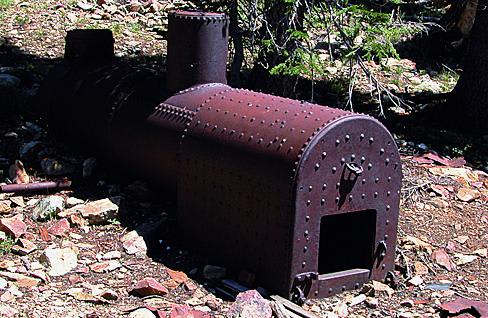
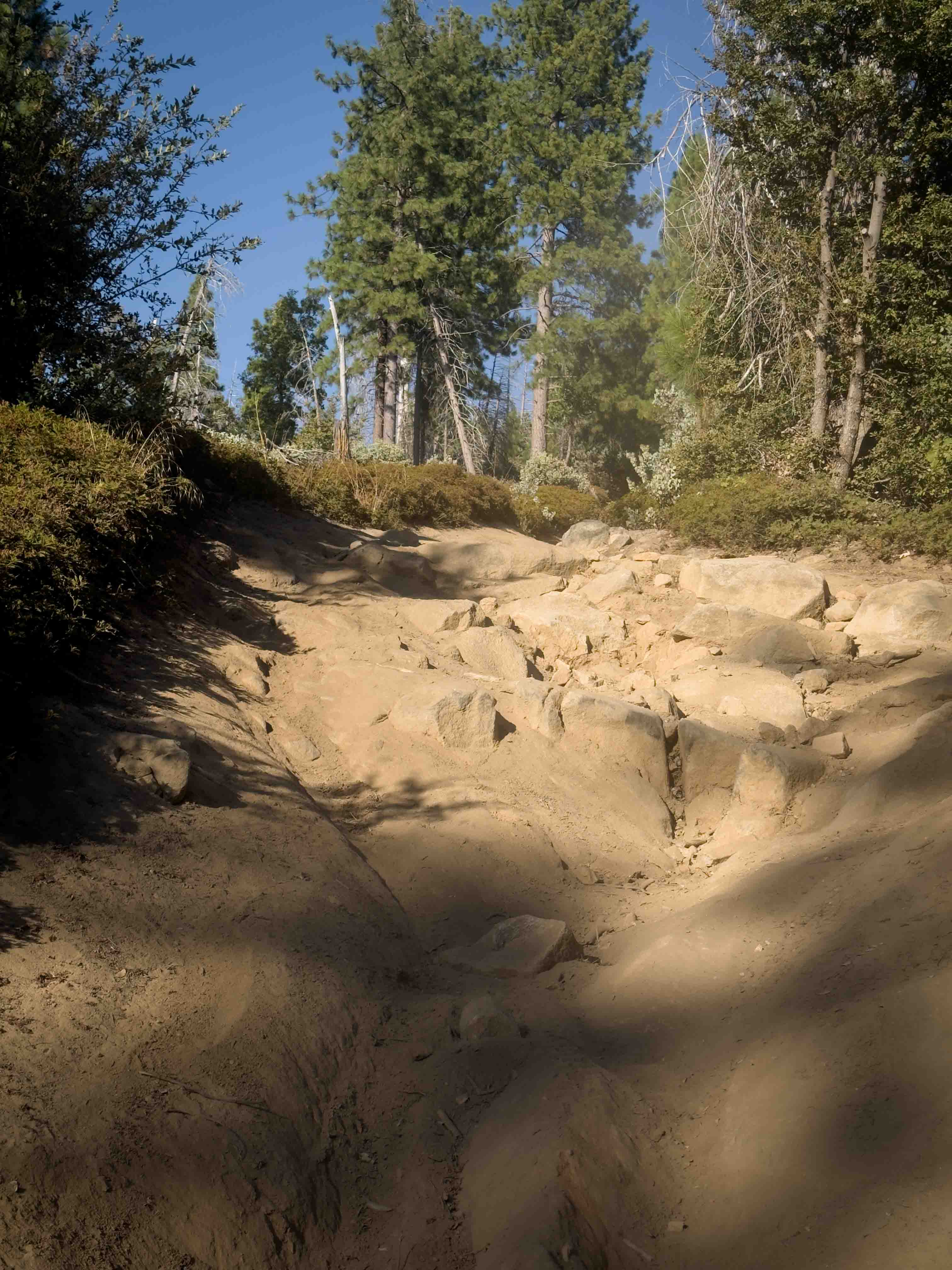
Photos of Deer Lake, Gold Valley
Difficulty
Moderate: Deer Lake trail is mostly easy except at the north end. After Waypoint 03, the trail drops steeply into Gold Valley and wanders backand- forth across a narrow, rocky creek bed. Okay for stock 4x4 SUVs with high clearance and skid plates. Novice drivers use caution.
History
Sierra County was an extremely active gold mining area starting with the gold rush in the 1850s. Many mines are located between Sierra City and Johnsville, including the Four Hills Mine on this route. Nearly a half million dollars in gold was extracted here from a high-grade surface deposit. To learn more, take time to visit the excellent Plumas Eureka State Park Museum at the end of the route.
Status Reports
Deer Lake, Gold Valley can be accessed by the following ride types:
- High-Clearance 4x4
- SUV
- SxS (60")
- ATV (50")
- Dirt Bike
Deer Lake, Gold Valley Map
Popular Trails
Mojave Road, Central
Richardson Glade - FS 17N26
Forest Service Road 5S106
The onX Offroad Difference
onX Offroad combines trail photos, descriptions, difficulty ratings, width restrictions, seasonality, and more in a user-friendly interface. Available on all devices, with offline access and full compatibility with CarPlay and Android Auto. Discover what you’re missing today!